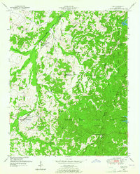
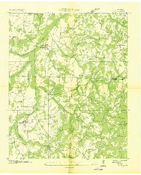
1950 Map of Yuma
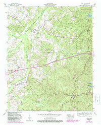
USGS Topo · Published 1987About this map
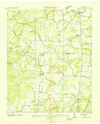
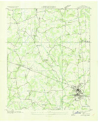
Natchez Trace State Forest and the Natchez Trace State Resort Park dominate the eastern half of this 1950s-era landscape, where the historic Natchez Trace route cuts through the wooded hills of West Tennessee. The western lowlands are defined by the Big Sandy River and its intricate network of drainage improvements, including the Sandy Canal and Roan Creek Canal. These engineering efforts transformed the river bottomlands near the community of Yuma and the Parker Crossroads Corporate Boundary.
Find a feature on this map
52 named features on this map. Tap any name to fly to it.
Don’t see what you’re looking for? This feature index may not catch every label — zoom into the map to look around manually.
Map Details
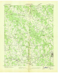
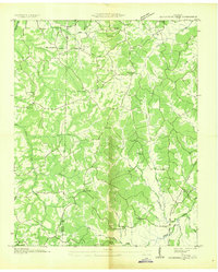
Editions of this 1950 Yuma Map
3 editions found
Other maps of this area
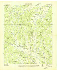
1936 · Clarksburg
USGS Topo · 1:24,000
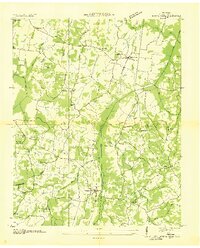
1936 · Lexington
USGS Topo · 1:24,000
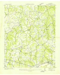
1936 · Yuma
USGS Topo · 1:24,000
1936 · Parsons
USGS Topo · 1:24,000
1936 · Seventeen Creek
USGS Topo · 1:24,000
1936 · Center Ridge
USGS Topo · 1:24,000
1936 · Cavvia
USGS Topo · 1:24,000
1936 · Buena Vista
USGS Topo · 1:24,000
1936 · Chesterfield
USGS Topo · 1:24,000
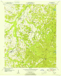
1950 · Yuma
USGS Topo · 1:24,000