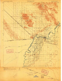
1905 Map of Yuma
USGS Topo · Published 1911About this map
River Colorado and Gila River meet at the strategic desert hub of Yuma, Arizona, as recorded in this early 20th-century survey. The map reveals an era of intense irrigation and mineral extraction, showing the Imperial Canal system and significant mining operations like the Picacho Mine and American Mine. Along the Southern Pacific R. R., small stops such as Ogilby and Hedges served the surrounding mining districts. South of the city, the emerging agricultural settlement at Somerton is already taking shape amidst a network of canals. The vast Yuma Indian Reservation dominates the northern bank of the river, while the international border with Mexico is clearly defined at the edge of the Sand Hills, marking a landscape where water management and railroad transport were rapidly transforming the arid frontier.
Find a feature on this map
68 named features on this map. Tap any name to fly to it.
Don’t see what you’re looking for? This feature index may not catch every label — zoom into the map to look around manually.
Map Details
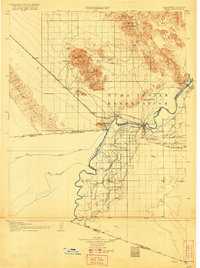
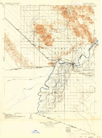
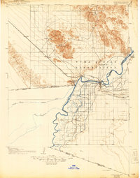
Editions of this 1905 Yuma Map
5 editions found
Other maps of this area

1903 · Yuma
USGS Topo · 1:125,000

1905 · Yuma
USGS Topo · 1:125,000

1907 · Holtville
USGS Topo · 1:125,000

1926 · Fortuna
USGS Topo · 1:62,500

1929 · Fortuna
USGS Topo · 1:62,500

1929 · Laguna
USGS Topo · 1:62,500

1939 · Red Hill
USGS Topo · 1:62,500

1940 · Yuma
USGS Topo · 1:62,500

1942 · El Centro
USGS Topo · 1:250,000

1942 · Yuma
USGS Topo · 1:250,000