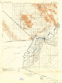
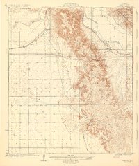
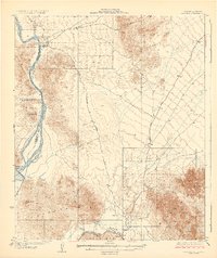
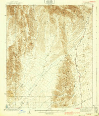
1905 Map of Yuma
USGS Topo · Published 1936About this map
The Colorado River and Gila River meet at a pivotal junction on this survey, marking the intersection of Arizona, California, and Mexico. Centered on Yuma, the landscape reveals an early 20th-century focus on water management and mineral extraction. The massive Imperial Canal cuts south through the desert, while the northern mountains are dotted with mining operations like the Picacho Mine and American Mine.
Find a feature on this map
39 named features on this map. Tap any name to fly to it.
Don’t see what you’re looking for? This feature index may not catch every label — zoom into the map to look around manually.
Map Details
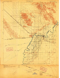
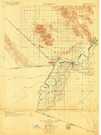
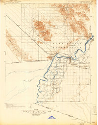
Editions of this 1905 Yuma Map
5 editions found
Other maps of this area

1903 · Yuma
USGS Topo · 1:125,000

1905 · Yuma
USGS Topo · 1:125,000

1907 · Holtville
USGS Topo · 1:125,000

1926 · Fortuna
USGS Topo · 1:62,500
1929 · Fortuna
USGS Topo · 1:62,500
1929 · Laguna
USGS Topo · 1:62,500
1939 · Red Hill
USGS Topo · 1:62,500
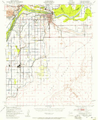
1940 · Yuma
USGS Topo · 1:62,500

1942 · El Centro
USGS Topo · 1:250,000

1942 · Yuma
USGS Topo · 1:250,000