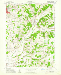
1960 Map of Zanesfield
USGS Topo · Published 1962About this map
Campbell Hill, the highest point in Ohio, dominates the northwestern corner of this landscape alongside the Bellefontaine Air Force Station. The terrain drops into the valley of the Mad River, where the village of Zanesfield and its namesake Zanesfield Cem are positioned. This 1960s survey documents a region defined by its narrow ridges and deep valleys, including the Marmon Valley and the Hadley Bottom Creek drainage.
Find a feature on this map
44 named features on this map. Tap any name to fly to it.
Don’t see what you’re looking for? This feature index may not catch every label — zoom into the map to look around manually.
Map Details
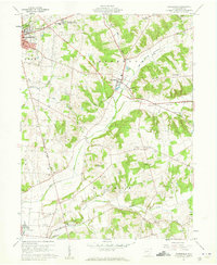
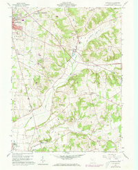
Editions of this 1960 Zanesfield Map
3 editions found
Other maps of this area

1913 · Bellefontaine
USGS Topo · 1:48,000

1913 · East Liberty
USGS Topo · 1:62,500

1914 · St. Paris
USGS Topo · 1:62,500

1914 · Mechanicsburg
USGS Topo · 1:62,500

1915 · Bellefontaine
USGS Topo · 1:62,500

1915 · East Liberty
USGS Topo · 1:62,500

1916 · Mechanicsburg
USGS Topo · 1:62,500

1916 · St. Paris
USGS Topo · 1:62,500

1944 · East Liberty
USGS Topo · 1:62,500

1944 · Mechanicsburg
USGS Topo · 1:62,500