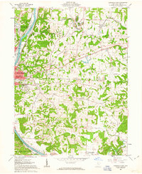
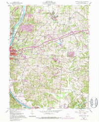
1961 Map of Zanesville East
USGS Topo · Published 1963About this map
The Muskingum River dominates the western edge of this 1961 landscape, serving as a corridor for the Pennsylvania, New York Central, and Baltimore and Ohio railroads. Settlement patterns reflect both the industrial character of Zanesville and the outlying communities of Sonora and Duncan Falls. Local genealogy is well-supported by several burial grounds including Greenwood Cemetery, St Pauls Cem, and Mt Olive Cemetery.
Find a feature on this map
54 named features on this map. Tap any name to fly to it.
Don’t see what you’re looking for? This feature index may not catch every label — zoom into the map to look around manually.
Map Details
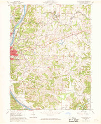
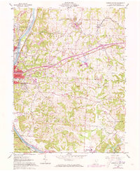
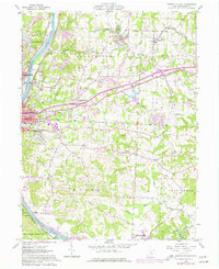
Editions of this 1961 Zanesville East Map
5 editions found
Other maps of this area

1908 · Conesville
USGS Topo · 1:62,500

1910 · Frazeysburg
USGS Topo · 1:62,500

1910 · Philo
USGS Topo · 1:62,500

1910 · Zanesville
USGS Topo · 1:62,500

1910 · Conesville
USGS Topo · 1:62,500

1947 · Columbus
USGS Topo · 1:250,000

1949 · Clarksburg
USGS Topo · 1:250,000

1950 · Marion
USGS Topo · 1:250,000

1951 · Canton
USGS Topo · 1:250,000

1953 · Canton
USGS Topo · 1:250,000