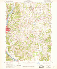
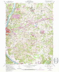
1961 Map of Zanesville East
USGS Topo · Published 1969About this map
The Muskingum River dominates the western edge of this 1961 survey, carving a path through the rolling Muskingum County landscape where heavy industry and early aviation meet established settlements. Extensive strip mine workings are visible throughout the townships of Washington and Perry, illustrating the intense extraction of coal and clay that defined the local economy during the mid-twentieth century. Transportation infrastructure is dense, with the Baltimore and Ohio, Pennsylvania, and New York Central railroads converging near the city, while the Zanesville Municipal Airport and Riverside Airport highlight the era's regional growth. Genealogists will find significant detail in the numerous burial grounds and institutions, including Greenwood Cemetery, St Thomas Cem, and the St Nicholas Sch, which served the growing neighborhoods of Zanesville and North Zanesville.
Find a feature on this map
49 named features on this map. Tap any name to fly to it.
Don’t see what you’re looking for? This feature index may not catch every label — zoom into the map to look around manually.
Map Details
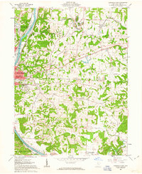
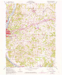
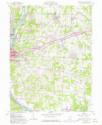
Editions of this 1961 Zanesville East Map
5 editions found
Other maps of this area

1908 · Conesville
USGS Topo · 1:62,500

1910 · Frazeysburg
USGS Topo · 1:62,500

1910 · Philo
USGS Topo · 1:62,500

1910 · Zanesville
USGS Topo · 1:62,500

1910 · Conesville
USGS Topo · 1:62,500

1947 · Columbus
USGS Topo · 1:250,000

1949 · Clarksburg
USGS Topo · 1:250,000

1950 · Marion
USGS Topo · 1:250,000

1951 · Canton
USGS Topo · 1:250,000

1953 · Canton
USGS Topo · 1:250,000