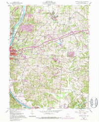
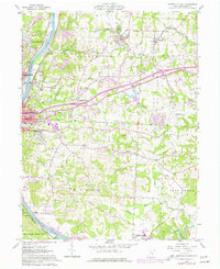
1961 Map of Zanesville East
USGS Topo · Published 1987About this map
The Muskingum River corridor serves as the primary artery for industry and settlement in this mid-century survey, with the city of Zanesville anchoring the western edge. The landscape is a transition between urban density and the extractive industrial outskirts of Washington and Wayne townships, where numerous strip mines dot the topography. Along the river, the Norfolk and Western railway supports the movement of goods through North Zanesville and Riverview.
Find a feature on this map
46 named features on this map. Tap any name to fly to it.
Don’t see what you’re looking for? This feature index may not catch every label — zoom into the map to look around manually.
Map Details
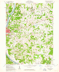
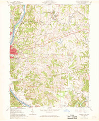
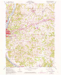
Editions of this 1961 Zanesville East Map
5 editions found
Other maps of this area

1908 · Conesville
USGS Topo · 1:62,500

1910 · Frazeysburg
USGS Topo · 1:62,500

1910 · Philo
USGS Topo · 1:62,500

1910 · Zanesville
USGS Topo · 1:62,500

1910 · Conesville
USGS Topo · 1:62,500

1947 · Columbus
USGS Topo · 1:250,000

1949 · Clarksburg
USGS Topo · 1:250,000

1950 · Marion
USGS Topo · 1:250,000

1951 · Canton
USGS Topo · 1:250,000

1953 · Canton
USGS Topo · 1:250,000