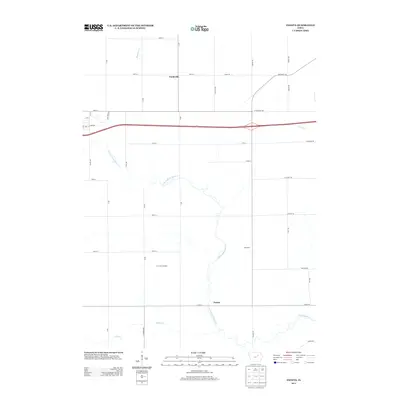
2013 Map of Zaneta
USGS Topo · Published 2013About this map
The agrarian landscape of Black Hawk County is defined by a grid of rural avenues and creek beds in the early 21st century. The settlement of Fredsville anchors the northern portion of the map near the intersection of 150th St and X Ave, while Zaneta sits further south along the winding course of the N Fork Black Hawk Cr. This period shows the established industrial presence of the Corn Beef Feedlot and the localized place name Bois d'Arc. The drainage system is dominated by the confluence of the Willow Cr and Hammers Cr as they feed into the larger Black Hawk Cr system. To the east, the modern developments near Dry Run and University Ave mark the fringes of expanding infrastructure in this traditional farming region.
Find a feature on this map
43 named features on this map. Tap any name to fly to it.
Don’t see what you’re looking for? This feature index may not catch every label — zoom into the map to look around manually.
Map Details
Editions of this 2013 Zaneta Map
This is the sole edition of this map. No revisions or reprints were ever made.
Other maps of this area

1954 · Waterloo
USGS Topo · 1:250,000

1955 · Waterloo
USGS Topo · 1:250,000

1963 · Buckingham
USGS Topo · 1:24,000

1963 · Hudson
USGS Topo · 1:24,000

1963 · Cedar Falls
USGS Topo · 1:24,000

1971 · Zaneta
USGS Topo · 1:24,000

1971 · Dike
USGS Topo · 1:24,000

1971 · Lincoln
USGS Topo · 1:24,000

1971 · Stout
USGS Topo · 1:24,000

1971 · Reinbeck
USGS Topo · 1:24,000