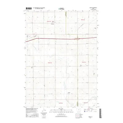
2015 Map of Zaneta
USGS Topo · Published 2015About this map
The agricultural landscape of the Grundy and Black Hawk county border is defined by its deep-rooted Lutheran heritage and the meandering paths of the Black Hawk Creek watershed. This 2015 survey highlights the rural community of Fredsville, centered around the Fredsville Evangelical Lutheran Church Cem. The terrain is segmented by a precise grid of farm roads such as W Ridgeway Ave and Co Rd D25, which serve the small settlements of Dike and Zaneta. Numerous burial grounds, including Saint Mary's Cem, Zion Lutheran Cem, and Cedar Valley Cem, provide significant touchpoints for genealogical research in this Midwestern farming heartland. The natural drainage of the land is visible through the North Fork Black Hawk Creek and Willow Cr, which cut across the geometric township lines.
Find a feature on this map
46 named features on this map. Tap any name to fly to it.
Don’t see what you’re looking for? This feature index may not catch every label — zoom into the map to look around manually.
Map Details
Editions of this 2015 Zaneta Map
This is the sole edition of this map. No revisions or reprints were ever made.
Other maps of this area

1954 · Waterloo
USGS Topo · 1:250,000

1955 · Waterloo
USGS Topo · 1:250,000

1963 · Buckingham
USGS Topo · 1:24,000

1963 · Hudson
USGS Topo · 1:24,000

1963 · Cedar Falls
USGS Topo · 1:24,000

1971 · Zaneta
USGS Topo · 1:24,000

1971 · Dike
USGS Topo · 1:24,000

1971 · Lincoln
USGS Topo · 1:24,000

1971 · Stout
USGS Topo · 1:24,000

1971 · Reinbeck
USGS Topo · 1:24,000