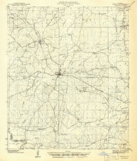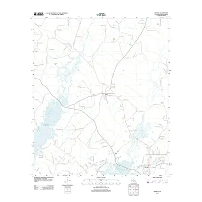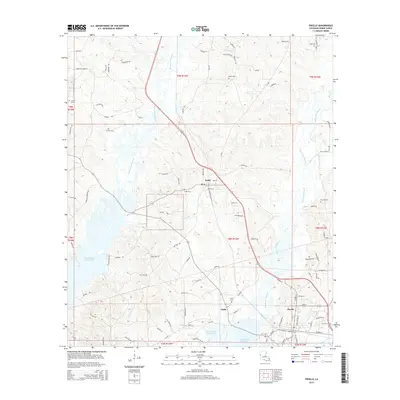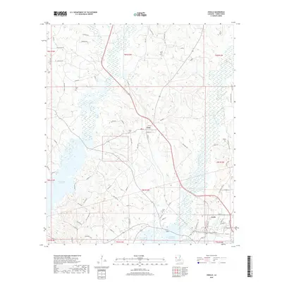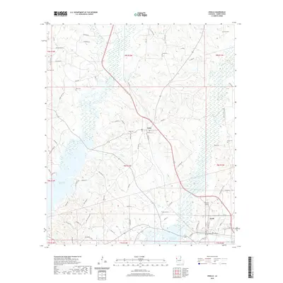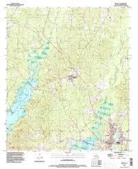
1995 Map of Zwolle
USGS Topo · Published 1997About this map
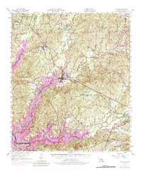
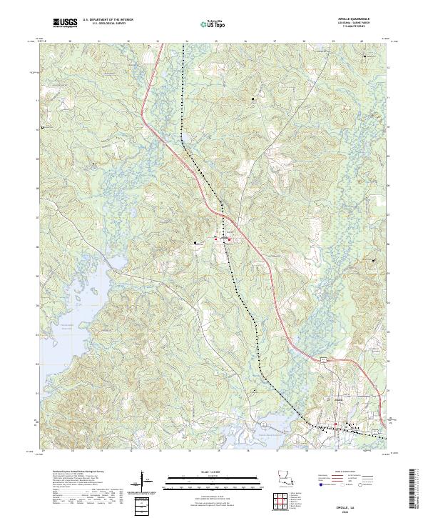
Zwolle and Noble anchor this Sabine Parish landscape during the mid-1990s, a period defined by the massive presence of the Toledo Bend Reservoir to the west. The map illustrates a complex network of bayous and low-lying wetlands, specifically the winding courses of San Patricio Bayou and San Miguel Bayou. While the larger towns show concentrated development, the surrounding terrain is marked by numerous cemeteries and local industrial landmarks like the Clay Pit and various utility structures including a Substation and Comm Tower.
Find a feature on this map
17 named features on this map. Tap any name to fly to it.
Don’t see what you’re looking for? This feature index may not catch every label — zoom into the map to look around manually.
Map Details
Editions of this 1995 Zwolle Map
This is the sole edition of this map. No revisions or reprints were ever made.
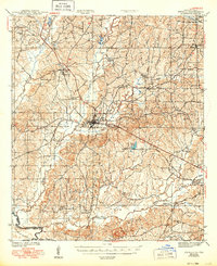
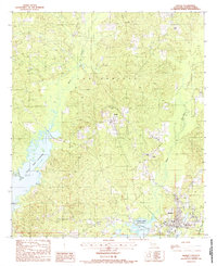
Historical Maps of Zwolle Through Time
10 maps found