2010s Maps of Sitka, Alaska
Explore 103 historic maps of Sitka from the 2010s. These maps offer a rare glimpse into what life looked like during the 2010s — showing old roads, neighborhoods, homes, and landmarks that have changed or disappeared over time.
Whether you're researching your family's past, planning a metal detecting trip, or studying how Sitka's landscape evolved across the 2010s, these high-resolution maps are a powerful tool for exploring the history of this region.
- Focus on a specific era: All maps on this page are from the 2010s, giving you a focused view of this time period.
- See what’s changed: Compare century-old streets, trails, and buildings to today's modern landscape using overlays and satellite layers.
- Research with precision: Use these maps for genealogy, historical research, land use analysis, or educational projects.
- View, download, or print: Maps are fully viewable online in high resolution, and can be downloaded or printed for your own records.
Start exploring Sitka's history through authentic maps from the 2010s. This is your window into the past.
Sitka, AK maps
(103)- 2017 Map of Port Alexander D-4 NW, 2017 Print
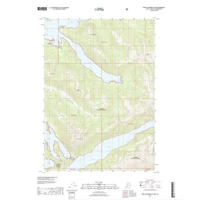 2017 Port Alexander D-4 NW2017 Print · USGSSitka’s coastal wilderness comes into focus in this recent survey of Baranof Island, featuring the complex interplay of fjords and high peaks. Researchers can trace remote forest access via Kizhuchia Creek Road and locate landmarks like Redoubt Lake and The Pyramids.
 - 2017 Map of Port Alexander D-4 SW, 2017 Print
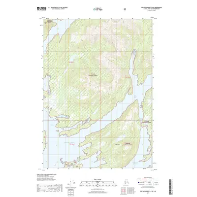 2017 Port Alexander D-4 SW2017 Print · USGSBaranof Island's intricate coastline is captured in the late 2010s, showing a wilderness of deep inlets and coastal peaks. Researchers can trace the maritime geography of West Crawfish Inlet, Redoubt Lake, and the remote Rakof Islands.
 - 2017 Map of Port Alexander D-4 NE, 2017 Print
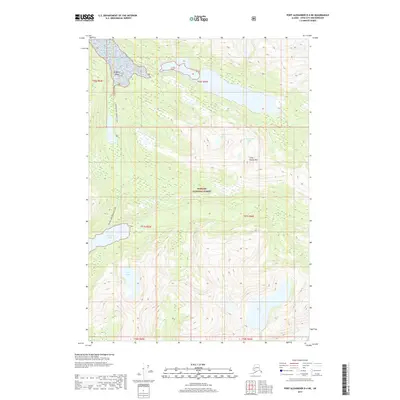 2017 Port Alexander D-4 NE2017 Print · USGSSitka City and Borough's coastal wilderness is documented here as it appeared in the late twenty-tens. Researchers can trace the drainage of the Vodopad River and the remote shores of Redoubt Lake, Lake Irina, and Lake Diana.
 - 2017 Map of Port Alexander D-4 SE, 2017 Print
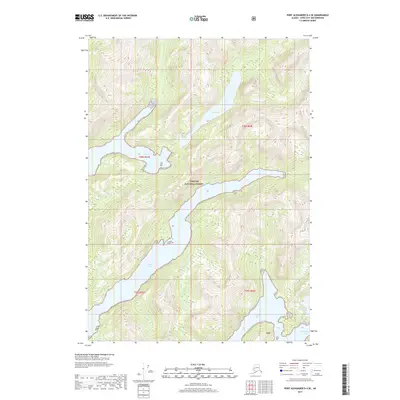 2017 Port Alexander D-4 SE2017 Print · USGSBaranof Island's maritime wilderness is captured in this recent survey of the Sitka City and Borough coastline. Genealogists and historians can trace the intricate shorelines and inland waters of Lake Ekaterina, Crawfish Inlet, and Necker Bay.
 - 2017 Map of Sitka A-6 OE S NW, 2017 Print
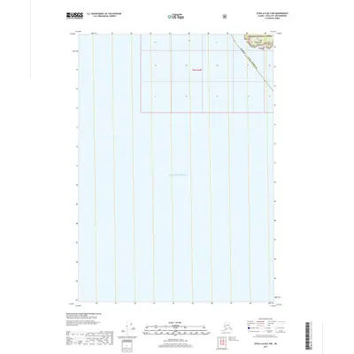 2017 Sitka A-6 OE S NW2017 Print · USGSCoastal Sitka at the edge of the Pacific is captured here, showing the intersection of maritime expanse and the rugged Alaskan shoreline. Genealogists and researchers can trace the coastal boundaries of the Tongass National Forest near Cape Edgecumbe and Trubitsin Point.
 - 2017 Map of Port Alexander D-5 NE, 2017 Print
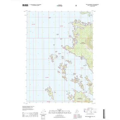 2017 Port Alexander D-5 NE2017 Print · USGSSitka Sound and the Baranof Island coast appear in detail during the late twenty-first century, showing a wilderness landscape of islands and inlets. Researchers can trace the rugged shoreline from Cape Burunof to the remote Kizhuchia Creek Road and Peisar Island.
 - 2017 Map of Port Alexander C-4 NW, 2017 Print
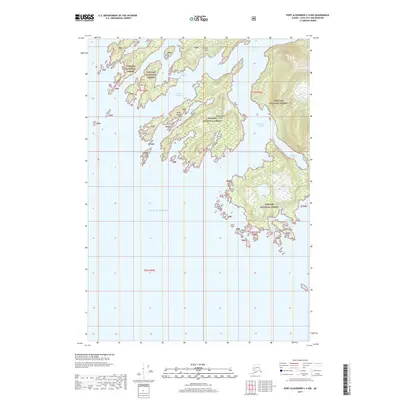 2017 Port Alexander C-4 NW2017 Print · USGSSoutheast Alaska's intricate coastline is captured in this recent survey of the Baranof Island wilderness. Maritime researchers and genealogists can trace the convoluted waterways of Crawfish Inlet and the many islands like Beauchamp Island and Lodge Island.
 - 2017 Map of Port Alexander D-5 SE, 2017 Print
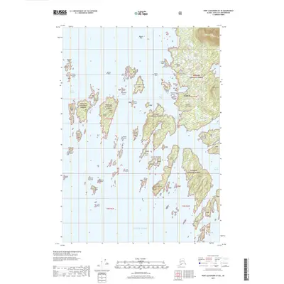 2017 Port Alexander D-5 SE2017 Print · USGSThe coastal waters near Sitka are mapped here in the modern era, showing the rugged intersection of the Tongass National Forest and the Pacific. Trace the shoreline from the settlement of Goddard to prominent landmarks like Mt Kliuchef and Redoubt Lake.
 - 2017 Map of Sitka A-6 OE S NE, 2017 Print
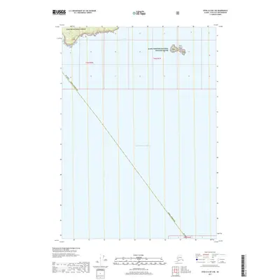 2017 Sitka A-6 OE S NE2017 Print · USGSCoastal island habitats and protected waters define this maritime survey conducted in the late 2010s. Researchers can trace the protected boundaries of the Alaska Maritime National Wildlife Refuge and locate Sitka Point along the edge of the Tongass National Forest.
 - 2017 Map of Port Alexander D-5 SW, 2017 Print
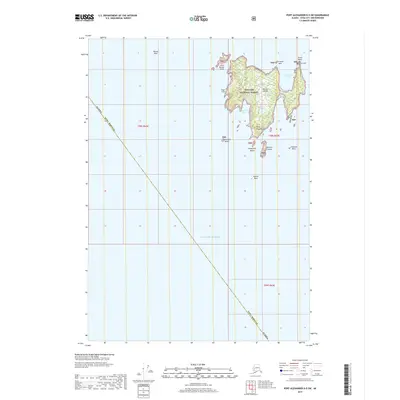 2017 Port Alexander D-5 SW2017 Print · USGSSitka's outer coast is captured here in the late twenty-teens, centering on the rugged perimeter of Biorka Island. Maritime researchers can trace coastal hazards and landforms like Biorka Reef, Point Woodhouse, and the anchorages at Symonds Bay.
 - 2017 Map of Port Alexander C-4 NE, 2017 Print
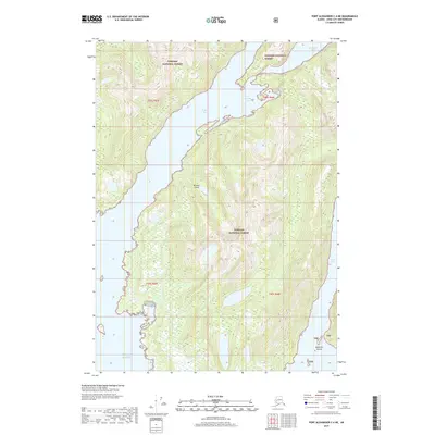 2017 Port Alexander C-4 NE2017 Print · USGSCoastal Baranof Island is documented in the years before the present, showing a wilderness of fjords and forest. Maritime historians and researchers can trace the intricate shorelines of Necker Bay, Secluded Bay, and the protected Toy Harbor.
 - 2017 Map of Port Alexander B-4 NE, 2017 Print
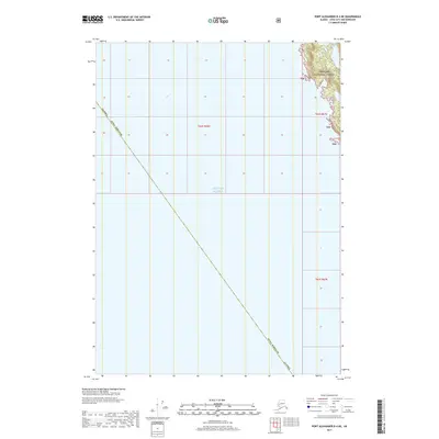 2017 Port Alexander B-4 NE2017 Print · USGSThe maritime reaches of the Alexander Archipelago come into focus in this recent survey of the Southeast Alaskan coast. Researchers can trace the protected boundaries of the Tongass National Forest where it meets the Gulf of Alaska near Sitka Borough.
 - 2017 Map of Port Alexander C-4 SE, 2017 Print
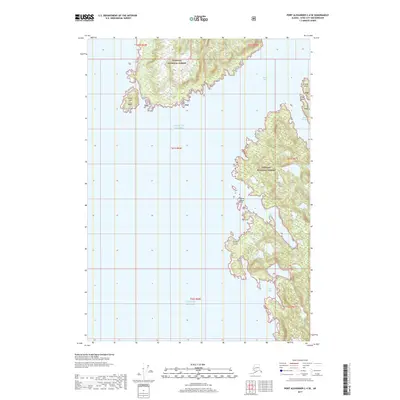 2017 Port Alexander C-4 SE2017 Print · USGSBaranof Island’s maritime fringe is captured in this modern survey of the Sitka City and Borough coast. Researchers and mariners can trace the intricate shoreline from the sheltered waters of Still Harbor and Port Banks to the exposed North Cape.
 - 2017 Map of Sitka D-7 SE, 2017 Print
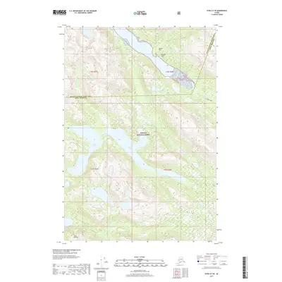 2017 Sitka D-7 SE2017 Print · USGSSoutheast Alaska’s coastal wilderness is mapped here in the early twenty-first century, showing the intersection of the Sitka and Hoonah-Angoon jurisdictions. Researchers can trace the shoreline and drainages of Goon Dip River, Otter Lake, and the heights of Goon Dip Mtn.
 - 2017 Map of Sitka C-7 NW, 2017 Print
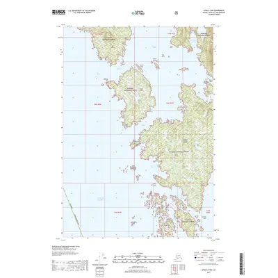 2017 Sitka C-7 NW2017 Print · USGSThe coastal archipelago of the Sitka Borough is captured here in the early twenty-first century, showing the rugged intersection of the Pacific and the Tongass. Maritime researchers can trace intricate passages and bays including Imperial Passage, Portlock Harbor, and Kukkan Passage.
 - 2017 Map of Sitka D-8 SE, 2017 Print
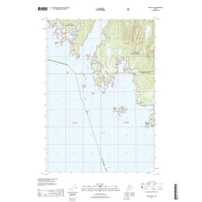 2017 Sitka D-8 SE2017 Print · USGSThe outer coast of Chichagof Island meets the open Pacific during the early twenty-first century. Researchers can locate remote landmarks like Greentop Cabin, the geothermal White Sulphur Springs, and the maritime hazards around Star Rock.
 - 2017 Map of Sitka D-7 SW, 2017 Print
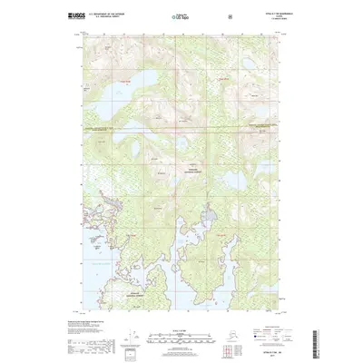 2017 Sitka D-7 SW2017 Print · USGSCoastal Southeast Alaska is revealed in this contemporary survey of the Chichagof Island vicinity, where the wilderness of the Tongass National Forest meets the Pacific. Researchers can trace the rugged shoreline from Mirror Harbor to Pinta Bay and locate landmarks like Cape Dearborn.
 - 2017 Map of Sitka C-7 SE, 2017 Print
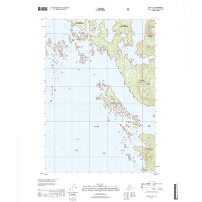 2017 Sitka C-7 SE2017 Print · USGSThe Alexander Archipelago’s rugged coastline comes into focus in this recent study of the island networks near Sitka. Maritime researchers and genealogists can trace the narrow waterways of Elbow Passage and Piehle Passage or locate landmarks like Flat Top Mtn and Klag Island.
 - 2017 Map of Sitka C-7 NE, 2017 Print
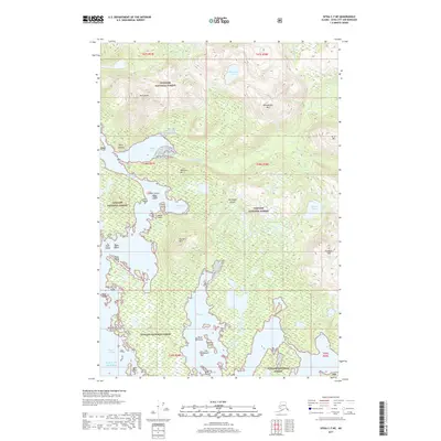 2017 Sitka C-7 NE2017 Print · USGSChichagof Island and the western edge of the Alexander Archipelago are captured here in the early twenty-first century. Researchers can trace the rugged shoreline and interior peaks from Whitestripe Mtn down to the waters of Klag Bay and Kimshan Cove.
 - 2017 Map of Port Alexander C-3 NE, 2017 Print
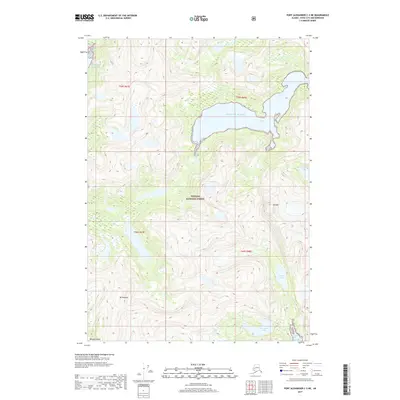 2017 Port Alexander C-3 NE2017 Print · USGSBaranof Island's wild eastern coast is captured in this recent survey of the Southeast Alaska wilderness. Researchers can trace the rugged shoreline of Gut Bay and locate the high-altitude basins of Parry Lake and Mt Ada.
 - 2017 Map of Port Alexander C-2 SW, 2017 Print
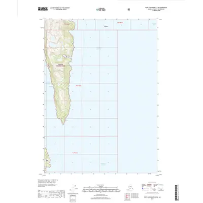 2017 Port Alexander C-2 SW2017 Print · USGSSoutheast Alaska's maritime wilderness is captured here in the years following the millennium, showing a remote peninsula where the forest meets the sea. Researchers and boaters can trace the intricate shoreline from Patterson Bay down to Patterson Point and the sheltered waters of Lords Pocket.
 - 2017 Map of Port Alexander D-3 SW, 2017 Print
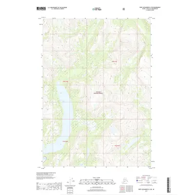 2017 Port Alexander D-3 SW2017 Print · USGSBaranof Island's remote coastal wilderness is charted in detail during this recent survey of the Sitka City and Borough. Researchers can trace the steep topography between Benzeman Lake and Politofski Lake as the terrain drops toward the Gulf of Alaska.
 - 2017 Map of Port Alexander C-2 NW, 2017 Print
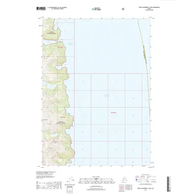 2017 Port Alexander C-2 NW2017 Print · USGSSoutheast Alaska's maritime wilderness is captured in the late twenty-tens, showing the transition from the peaks of Baranof Island to the sea. Researchers can trace the steep coastal terrain surrounding Gut Bay and locate landmarks like Mt Elizabeth and Yermak Lake.
 - 2017 Map of Port Alexander D-3 NW, 2017 Print
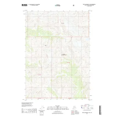 2017 Port Alexander D-3 NW2017 Print · USGSBaranof Island is shown in its wilderness state during the early twenty-first century, revealing the island's steep interior within the Tongass National Forest. Researchers can trace the path of the Vodopad River and study the precise township lines like T56S R66E across the terrain.
 - 2017 Map of Port Alexander C-2 NE, 2017 Print
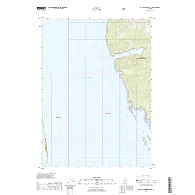 2017 Port Alexander C-2 NE2017 Print · USGSThe rugged western coastline of Kuiu Island is documented in this recent survey of the Southeast Alaska wilderness. Researchers can trace the steep topography of the Tongass National Forest where it meets the sea at Washington Bay and Point Sullivan.
Showing maps 1-25 of 103
Top cities of Sitka
Frequently asked questions
- What are the different types of historical maps available for Sitka?
- What is the oldest map of Sitka?
- Where can I purchase historical maps of Sitka for my home or office?
- Where can I download high-res historical maps of Sitka?
- Are there historical topographic maps available for Sitka?
- Is there historical aerial imagery available for Sitka?
- Where are historical maps of Sitka sourced from?