2020s Maps of Navajo County, Arizona
Explore 244 historic maps of Navajo County from the 2020s. These maps offer a rare glimpse into what life looked like during the 2020s — showing old roads, neighborhoods, homes, and landmarks that have changed or disappeared over time.
Whether you're researching your family's past, planning a metal detecting trip, or studying how Navajo County's landscape evolved across the 2020s, these high-resolution maps are a powerful tool for exploring the history of this region.
- Focus on a specific era: All maps on this page are from the 2020s, giving you a focused view of this time period.
- See what’s changed: Compare century-old streets, trails, and buildings to today's modern landscape using overlays and satellite layers.
- Research with precision: Use these maps for genealogy, historical research, land use analysis, or educational projects.
- View, download, or print: Maps are fully viewable online in high resolution, and can be downloaded or printed for your own records.
Start exploring Navajo County's history through authentic maps from the 2020s. This is your window into the past.
Navajo County, AZ maps
(244)- 2020 Map of Jacobs Monument, 2020 Print
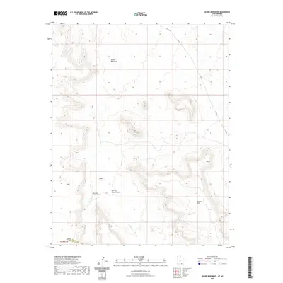 2020 Jacobs Monument2020 Print · USGSCovers Navajo County, including San Juan County, United States, and other nearby areas
 - 2020 Map of Deep Canyon South, 2020 Print
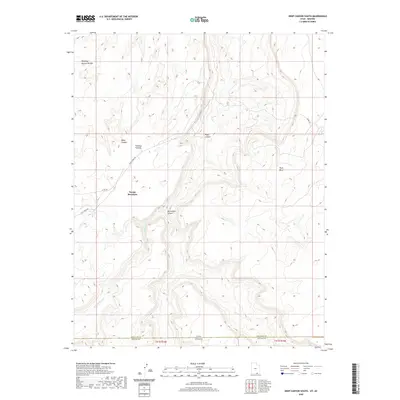 2020 Deep Canyon South2020 Print · USGSCovers Navajo County, including San Juan County, United States, and other nearby areas
 - 2020 Map of No Mans Mesa South, 2020 Print
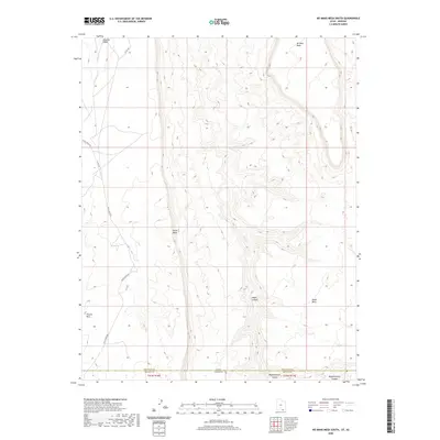 2020 No Mans Mesa South2020 Print · USGSCovers Navajo County, including San Juan County, United States, and other nearby areas
 - 2020 Map of Navajo Begay, 2020 Print
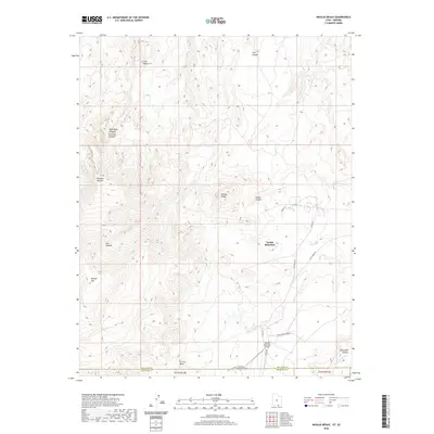 2020 Navajo Begay2020 Print · USGSCovers Navajo County, including Navajo Mountain, Navajo Mountain, and other nearby areas
 - 2021 Map of Sponseller Mountain, 2021 Print
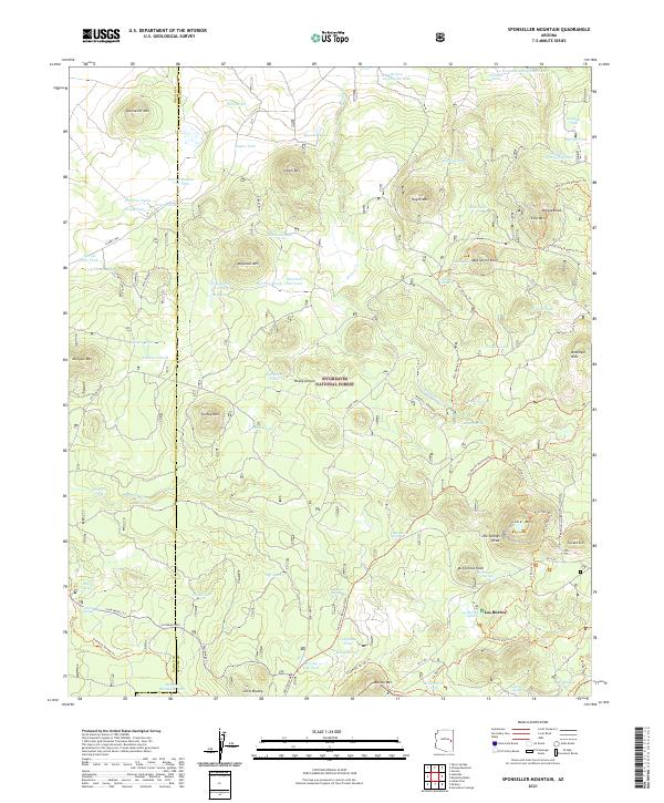 2021 Sponseller Mountain2021 Print · USGSSitgreaves National Forest in eastern Arizona is shown here as a high-altitude network of peaks and vital water sources in the 2020s. Trace old forest routes and recreational paths like the Land Of The Pioneers Trl between Los Burros and Sponseller Mtn.
 - 2021 Map of Lakeside, 2021 Print
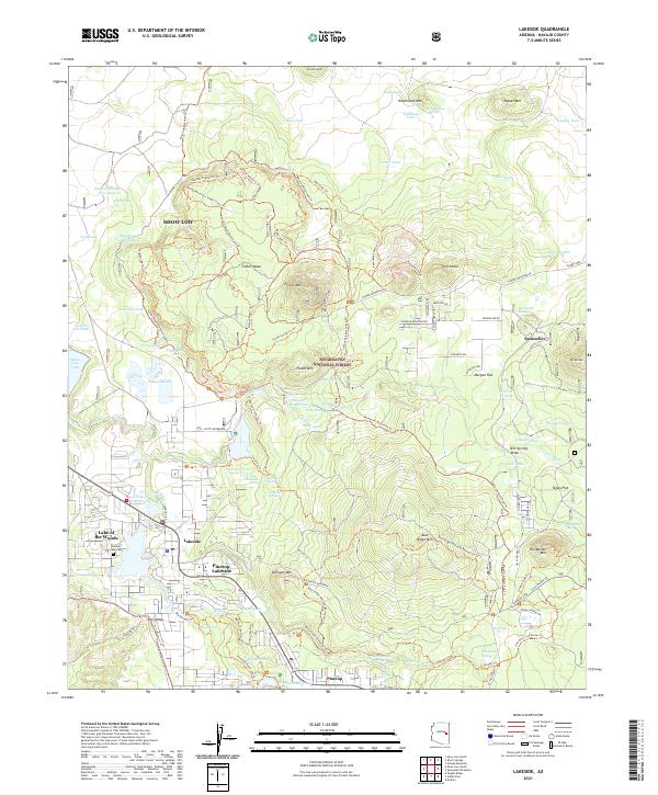 2021 Lakeside2021 Print · USGSNavajo County's high-country settlements and forest lands are captured in this 2021 survey of the White Mountains region. Researchers can trace the layout of Pinetop-Lakeside, locate the Rainbow Lake Cem, and follow the old rails at Sponseller Siding.
 - 2021 Map of Toyei School, 2021 Print
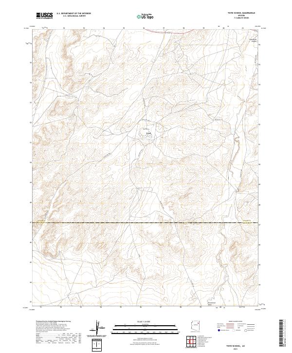 2021 Toyei School2021 Print · USGSThe Navajo Nation high country is documented here in the early 2020s, showing the intersection of vital local roads and desert landforms. Genealogists and researchers can trace the vicinity of Toyei School and the pathways along Steamboat Wash.
 - 2021 Map of Big Willow Spring Canyon, 2021 Print
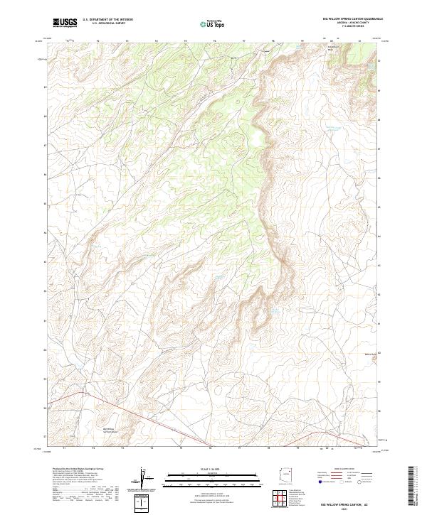 2021 Big Willow Spring Canyon2021 Print · USGSApache County's high desert landscape is recorded here in the early twenty-first century, centered on the drainage of Big Willow Spring Canyon. Genealogists and researchers can trace the roads connecting the settlement of White Rock to vital desert water sources like Looking for Water Spring and Toh Del Toshi Spring.
 - 2021 Map of Ortega Mountain, 2021 Print
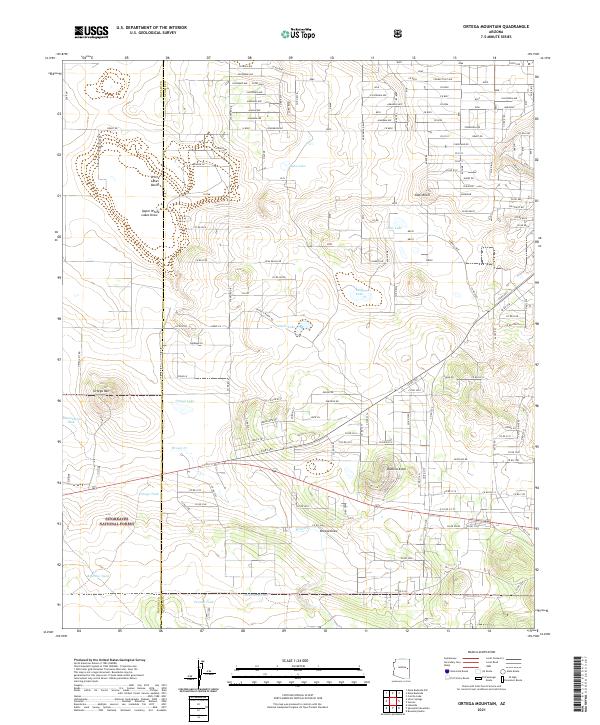 2021 Ortega Mountain2021 Print · USGSApache and Navajo counties meet in this high-country landscape during the early 2020s, revealing a mix of national forest land and rural road grids. Researchers can trace land boundaries and water sources like Ortega Lake, Baca Lake, and the heights of Ortega Mtn.
 - 2021 Map of Mesa Redonda NW, 2021 Print
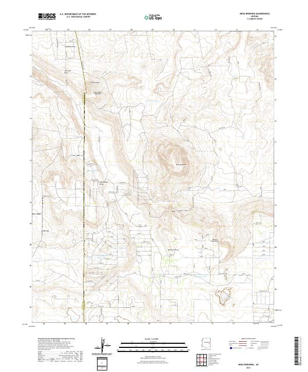
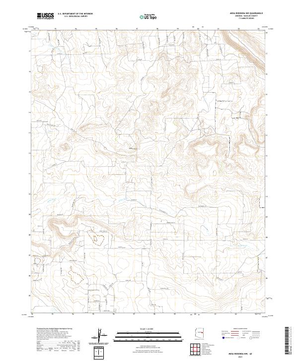 2021 Mesa Redonda NW2021 Print · USGSNavajo County residential patterns in the modern era are clearly visible in this detailed layout of local roads and desert washes. Researchers can trace land parcels and rural developments near El Dorado and Phillips, or follow the course of Millet Swale.
 - 2021 Map of Hay Hollow, 2021 Print
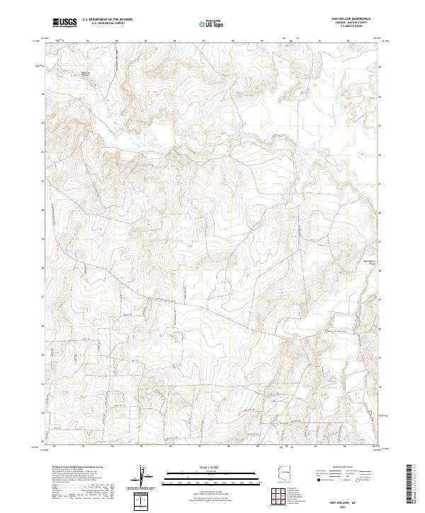 2021 Hay Hollow2021 Print · USGSNavajo County ranch lands and desert washes come into focus in this contemporary study of the Arizona high country. Genealogists and local researchers can trace old ranch access routes like Blue Sky Ranch Rd and locate vital water sources like Horse Seep and Antelope Tank.
 - 2021 Map of McNary, 2021 Print
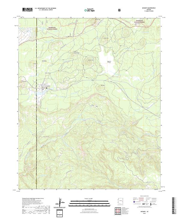 2021 McNary2021 Print · USGSMcNary and the surrounding timberlands of the White Mountains come into focus in the early 2020s. Researchers can trace local landmarks like Ponderosa Pines Cem and follow the rugged drainages of the N Fork White River and Trout Cr.
 - 2021 Map of Greasewood Spring, 2021 Print
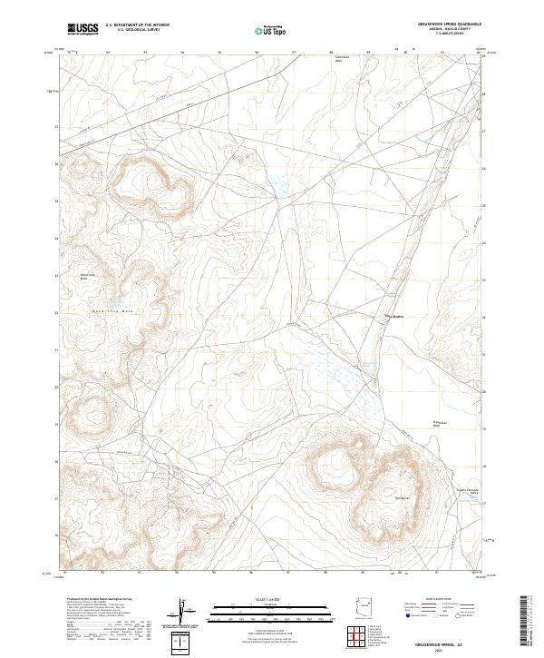 2021 Greasewood Spring2021 Print · USGSNavajo County's high-desert terrain is captured here in the early twenty-first century, showing the enduring landmarks of the Navajo Nation. Researchers can trace land use patterns across Wood Chop Mesa and locate water sources like Greasewood Spring and Martinez Spring.
 - 2021 Map of Arrowhead Butte, 2021 Print
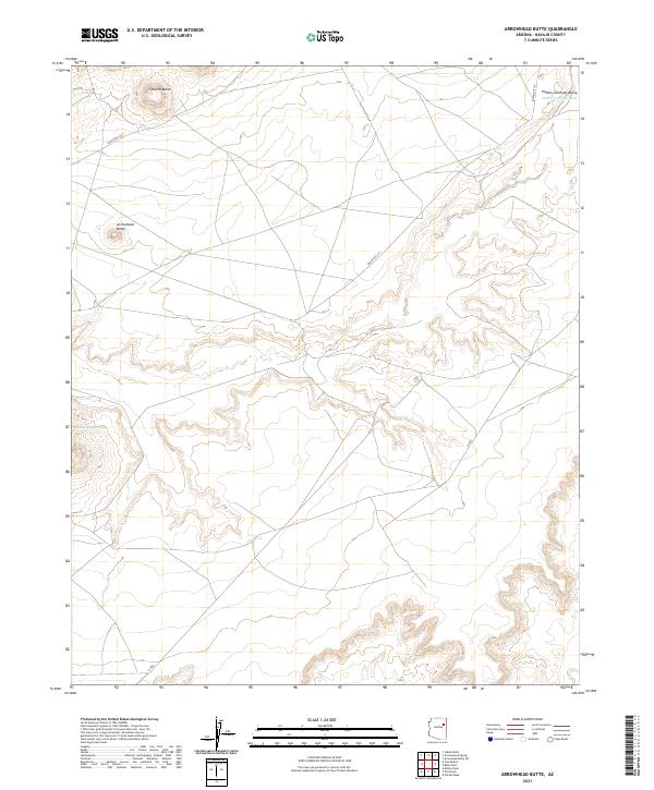 2021 Arrowhead Butte2021 Print · USGSNavajo County's high desert landscape is documented here in the early twenty-first century, showing a remote region shaped by seasonal water and volcanic landforms. Researchers can trace the path of the Pueblo Colorado Wash and locate prominent heights like Arrowhead Butte and Smooth Butte.
 - 2021 Map of Little Lithodendron Tank, 2021 Print
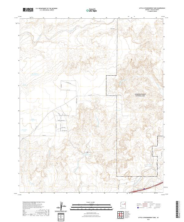 2021 Little Lithodendron Tank2021 Print · USGSNavajo County's arid high-desert landscape is documented here in the early twenty-first century, showing the intersection of ranching infrastructure and protected lands. Trace historical routes like Old US Hwy 66 near Petrified Forest National Park and numerous water sources including Little Lithodendron Tank.
 - 2021 Map of Pilot Rock, 2021 Print
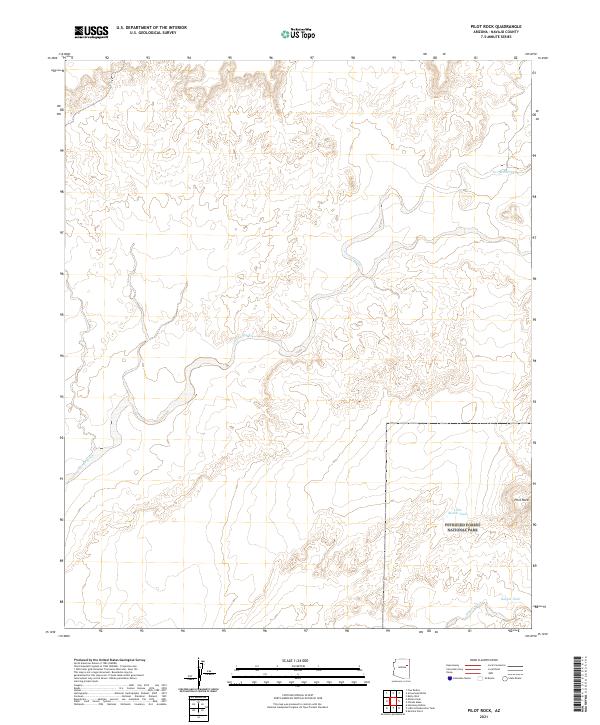 2021 Pilot Rock2021 Print · USGSNavajo County's high desert landscape is documented here in the early twenty-first century, showing the intersection of protected wilderness and ranching history. Researchers can locate remote water sources like Two-Mile Tank and Little Rabbit Tank near the iconic Pilot Rock.
 - 2021 Map of Mesa Redonda, 2021 Print
 2021 Mesa Redonda2021 Print · USGSThe high desert borderlands of Navajo and Apache counties are captured here in the early twenty-first century. Genealogists and local researchers can trace the roads and water tanks surrounding Mesa Redonda and the small settlement at Little Mesa Redonda.
 - 2021 Map of Manuel Seep, 2021 Print
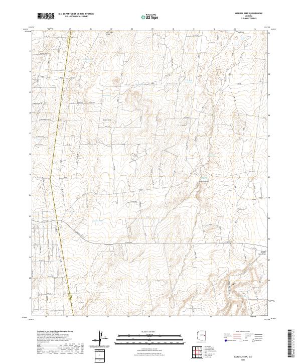 2021 Manuel Seep2021 Print · USGSApache and Navajo Counties at the turn of the decade show a landscape tied to precious water sources and ranching heritage. Local historians can trace the paths of Manuel Seep and identify named ranch landmarks like Rockin R Ranch Trl and Quema Tank.
 - 2021 Map of Steamboat Canyon, 2021 Print
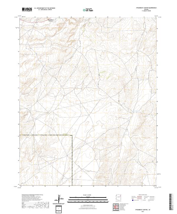 2021 Steamboat Canyon2021 Print · USGSThe borderlands of Apache and Navajo counties are mapped in detail here during the early twenty-first century. Researchers can trace remote desert routes like Indian Rte 9055 and Bia Rd or locate the site of Joseph Spring near Steamboat Canyon.
 - 2021 Map of Padilla Tank, 2021 Print
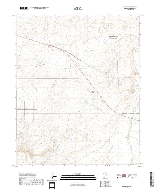 2021 Padilla Tank2021 Print · USGSThe northern expanse of Navajo County is documented here in the early twenty-first century, featuring the boundaries of Petrified Forest National Park. Researchers can trace the ranching infrastructure of this arid landscape through named features like Padilla Tank, Broken Dam Tank, and Mexican Hollow Wash.
 - 2021 Map of Point of the Mountain, 2021 Print
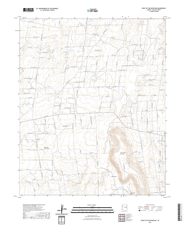 2021 Point of the Mountain2021 Print · USGSThe ranchlands of Navajo County are captured here in the early twenty-first century, showing a landscape defined by water tanks and remote roads. Genealogists and historians can trace family-named routes and land features like Hay Hollow, Antelope Ridge, and Old School Bus Trl.
 - 2021 Map of Greasewood, 2021 Print
 2021 Greasewood2021 Print · USGSGreasewood and the surrounding Navajo Nation lands are documented here in the early twenty-first century. Researchers can trace regional travel routes like Old Toyel Rd and locate local landmarks such as Big Dam Wash and the Pueblo Colorado Valley.
 - 2021 Map of Agate House, 2021 Print
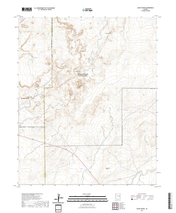 2021 Agate House2021 Print · USGSApache and Navajo counties appear in the 2020s within the high desert borders of Petrified Forest National Park. Researchers can trace the path of the MAIN PARK ROAD or locate specific landmarks like the Milky Wash Bridge and The Battleship.
 - 2021 Map of Adamana, 2021 Print
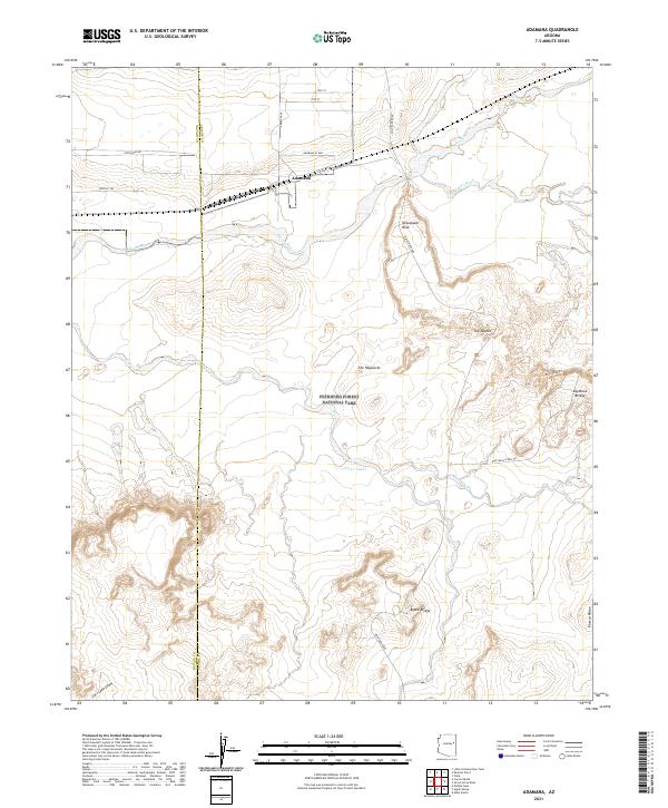 2021 Adamana2021 Print · USGSApache County's desert landscape is captured here in the early twenty-first century, centered on the historic rail-side settlement of Adamana. Local historians can trace park landmarks like Newspaper Rock, Agate Bridge, and the unique formations of The Tepees.
 - 2021 Map of Satan Butte, 2021 Print
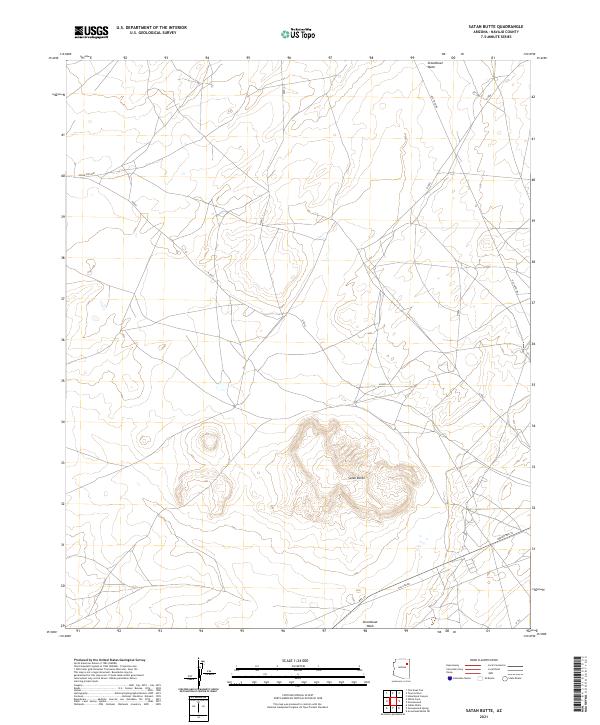 2021 Satan Butte2021 Print · USGSNavajo County, Arizona, is depicted here in the early 2020s, showing a landscape defined by high-desert landforms and traditional travel routes. Researchers can trace the path of Steamboat Wash and locate landmarks like Satan Butte or the historic Old Toyei Rd.
Showing maps 1-25 of 244
Top cities of Navajo County
- Show Low historical maps
- Winslow historical maps
- Snowflake historical maps
- Kayenta historical maps
- Holbrook historical maps
- Pinetop-Lakeside historical maps
See more
Frequently asked questions
- What are the different types of historical maps available for Navajo County?
- What is the oldest map of Navajo County?
- Where can I purchase historical maps of Navajo County for my home or office?
- Where can I download high-res historical maps of Navajo County?
- Are there historical topographic maps available for Navajo County?
- Is there historical aerial imagery available for Navajo County?
- Where are historical maps of Navajo County sourced from?