1970s Maps of Navajo County, Arizona
Explore 106 historic maps of Navajo County from the 1970s. These maps offer a rare glimpse into what life looked like during the 1970s — showing old roads, neighborhoods, homes, and landmarks that have changed or disappeared over time.
Whether you're researching your family's past, planning a metal detecting trip, or studying how Navajo County's landscape evolved across the 1970s, these high-resolution maps are a powerful tool for exploring the history of this region.
- Focus on a specific era: All maps on this page are from the 1970s, giving you a focused view of this time period.
- See what’s changed: Compare century-old streets, trails, and buildings to today's modern landscape using overlays and satellite layers.
- Research with precision: Use these maps for genealogy, historical research, land use analysis, or educational projects.
- View, download, or print: Maps are fully viewable online in high resolution, and can be downloaded or printed for your own records.
Start exploring Navajo County's history through authentic maps from the 1970s. This is your window into the past.
Navajo County, AZ maps
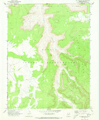
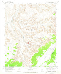
(106)- 1970 Map of Cattle Canyon, 1972 Print
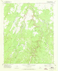
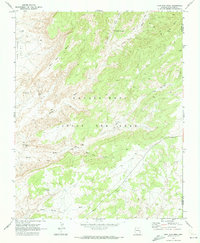
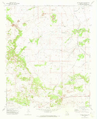
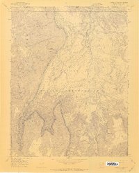 1970 Cattle Canyon1972 Print · USGSThe high plateau country of the Navajo Nation is captured here in the early 1970s, spanning the border of Arizona and Utah. Researchers can trace the steep topography of Nakai Mesa and identify remote water sources like Fullers Spring and Neskahi Wash.4 unique versions available
 - 1970 Map of Cow Springs, 1972 Print
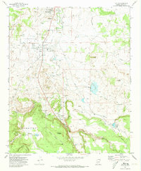
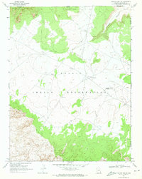
 1970 Cow Springs1972 Print · USGSCoconino County was a crossroads of tradition and transition in the early 1970s, as shown by the settlements and land use patterns here. Researchers can trace the heritage of the Old Cow Springs Trading Post, the waters of Kai Si Kito, and the layout of Masitoh.
 - 1970 Map of Kydestea Spring, 1972 Print
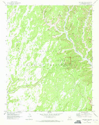
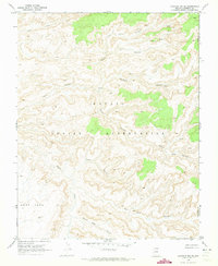
 1970 Kydestea Spring1972 Print · USGSThe Navajo and Hopi borderlands in the early 1970s reveal a high-desert landscape centered on the vital waters of Kydestea Spring. Researchers can trace the path of a Pack Trail across Black Mesa or locate remote sites like Dog Spring and Blue Canyon.
 - 1970 Map of Black Mesa Wash NW, 1972 Print
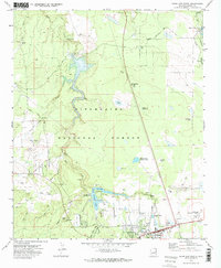
 1970 Black Mesa Wash NW1972 Print · USGSThe Navajo and Hopi borderlands of Northern Arizona are captured here in the early seventies, centered on the Klethla Valley. Researchers can trace remote water sources like Frank Isaac Spring and old transportation routes including a Pack Trail.
 - 1970 Map of Tall Mountain NW, 1973 Print
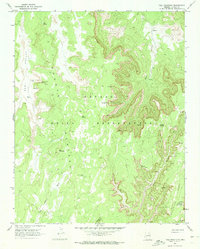
 1970 Tall Mountain NW1973 Print · USGSThe Navajo Indian Reservation in the early seventies reveals a landscape of deep canyons and high mesas. Archaeologists and researchers can trace the locations of several Ruins, a Cliff Dwelling, and the winding Pack Trail through Piute Canyon.
 - 1970 Map of Whirlwind Rock, 1973 Print
 1970 Whirlwind Rock1973 Print · USGSThe Navajo Plateau in northern Arizona comes to life in this survey of the Shonto region during the early seventies. Genealogists and historians can trace essential water sources and livestock landmarks like Begay Windmill, Red Spot Spring, and Old Farm Spring.
 - 1970 Map of Shonto SE, 1973 Print
 1970 Shonto SE1973 Print · USGSThe Navajo Indian Reservation is surveyed here in the early seventies, showcasing the dramatic drop from the Shonto Plateau to the valley floor. Researchers can trace remote desert features like a Pack Trail, a seasonal Spring, and a lone Corral.2 unique versions available
 - 1970 Map of Cactus Flat, 1973 Print
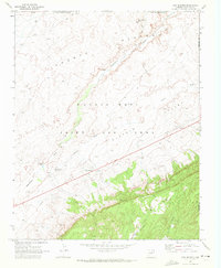
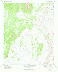
 1970 Cactus Flat1973 Print · USGSNavajo County ranching and forest lands are frozen in time during the early seventies, showing a landscape of windmills and rugged washes. Genealogists and historians can trace the Old Railroad Grade and locate family-named sites like Thomas Windmill and Linden Windmill.2 unique versions available
 - 1970 Map of Red Knoll, 1973 Print
 1970 Red Knoll1973 Print · USGSNavajo County ranching and forest lands are captured here in the early seventies, showing a high-desert territory reliant on scattered water catchments. Researchers can locate remote features like Uranium Tank, the Red Knoll Well, and family-named landmarks including Turley Tank.
 - 1970 Map of Taylor, 1973 Print
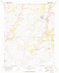
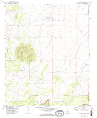
 1970 Taylor1973 Print · USGSSnowflake and Taylor appear at a time of steady growth and industrial transition in the early seventies. Genealogists can trace family landmarks and local burials at the Taylor Cem and Shumway Cem, or follow the Old Railroad Grade through the valley.
 - 1970 Map of Betatakin Ruin, 1973 Print
 1970 Betatakin Ruin1973 Print · USGSThe Navajo Nation's high mesas and ancient canyons are detailed in the early 1970s, showcasing a landscape of significant archaeological heritage. Trace the footpaths to Betatakin Ruin and locate remote water sources like Bubbling Spring and Peach Spring.2 unique versions available
 - 1970 Map of Show Low North, 1973 Print
 1970 Show Low North1973 Print · USGSShow Low and the surrounding high-country forests are documented here as the town expanded into a recreational and utility hub. Genealogists and historians can trace the early layout of Show Low, from the Cem and Rodeo Grounds to infrastructure like the Lone Pine Dam.2 unique versions available
 - 1970 Map of John Daw Mesa, 1973 Print
 1970 John Daw Mesa1973 Print · USGSCoconino County, Arizona, is captured here during the early seventies, detailing the remote land within the Navajo - Hopi Joint Use Area. Researchers can trace specific family-named landmarks and water sources like the John Daw Grave, John Daw Well, and Kai Si Kato.
 - 1970 Map of Tall Mountain, 1973 Print
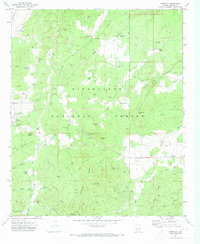
 1970 Tall Mountain1973 Print · USGSThe Navajo Nation's high plateaus and ancient cliff dwellings are meticulously recorded in the early seventies. You can locate archaeological sites like Calamity Cave Cliff Dwelling and the Keet Seel Ruin among the depths of Long Canyon.2 unique versions available
 - 1970 Map of Shonto, 1973 Print
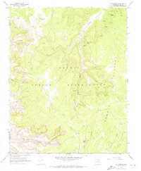
 1970 Shonto1973 Print · USGSShonto and its surrounding Navajo lands appear in great detail during the early seventies, capturing a high-desert community centered on the water. Trace local heritage and infrastructure through the Shonto Boarding Sch, the Trading Post, and nearby Cliff Dwellings.
 - 1970 Map of Hibbard, 1973 Print
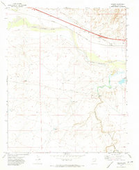 1970 Hibbard1973 Print · USGSNavajo County's high desert landscape and rail infrastructure are captured here in the early 1970s. Researchers can trace the water management systems of the Chevelon Aqueduct and locate remote landmarks like the Aja Ranch and the rail-stop at Hibbard.
 - 1970 Map of Inscription House Ruin, 1973 Print
 1970 Inscription House Ruin1973 Print · USGSCoconino County canyonlands are documented here in the early seventies, detailing indigenous archaeological sites and trading hubs. Researchers can locate cliff dwellings near Inscription House Ruin and trace remote routes like the Pack Trail to the Inscription House Trading Post.
 - 1970 Map of Chaiyahi Rim NE, 1973 Print
 1970 Chaiyahi Rim NE1973 Print · USGSThe high desert of the Navajo Indian Reservation appears here in the early seventies, just south of the Utah border. Researchers can trace remote sites like the Navajo Mountain Mission or ancient Cliff Dwelling and Red House ruins.
 - 1970 Map of Red Willow Spring, 1973 Print
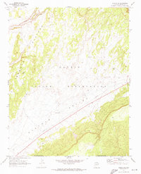
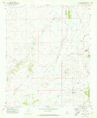
 1970 Red Willow Spring1973 Print · USGSThe Navajo Nation high country is captured here in the early 1970s, during a period of unique land management and administrative transition. Trace the remote network of Jeep Trails and Pipeline corridors that connect vital water sources like Red Willow Spring and Cottonwood Spring.
 - 1970 Map of Chaiyahi Rim SE, 1973 Print
 1970 Chaiyahi Rim SE1973 Print · USGSThe Navajo Indian Reservation at the start of the 1970s is shown here through its intricate canyon systems and high mesas. Researchers can trace ancient sites like the Cliff Dwelling and remote paths such as the Pack Trail near Forty Caves Canyon.
 - 1970 Map of Chevelon Butte, 1973 Print
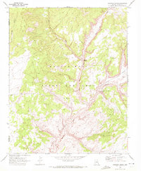
 1970 Chevelon Butte1973 Print · USGSCoconino County ranching and forest lands come into focus during the early seventies. Genealogists and historians can trace the distribution of essential water improvements like Babbitt Tank, Big Windmill, and Mormon Tank around the landmark Chevelon Butte.2 unique versions available
 - 1970 Map of Second Knolls, 1973 Print
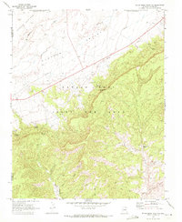
 1970 Second Knolls1973 Print · USGSNavajo County's high plateau is captured here in the early seventies, showcasing a landscape of isolated homesteads and industrial infrastructure. Genealogists and historians can trace the Old Apache Railroad Grade or locate the remote John Hunt Cabin and Green Water Tank.
 - 1970 Map of Oak Springs, 1973 Print
 1970 Oak Springs1973 Print · USGSThe Navajo Indian Reservation in the early seventies reveals a landscape where ancient sites and vital water sources dictate the pattern of life. Researchers can find remote landmarks like a Cliff Dwelling and the high Shonto Plateau, along with named sites such as Oak Springs and Alliance.
 - 1970 Map of Pinedale, 1973 Print
 1970 Pinedale1973 Print · USGSNavajo County ranching and timber lands are captured here in the early seventies as new infrastructure reached the plateau. Researchers can trace the Old Railroad Grade, locate the Pinedale Ranger Station, and find family-named sites like Whiting Tank or Linden.2 unique versions available
 - 1970 Map of Flattop Hill, 1973 Print
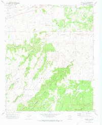
 1970 Flattop Hill1973 Print · USGSNortheastern Arizona's high desert is captured here in the early seventies, showing a landscape defined by ranching and seasonal washes. Researchers can locate remote landmarks like Halfway Ranch, Sheza Butte, and the vital Flattop Windmill among the draws.
Showing maps 1-25 of 106
Top cities of Navajo County
- Show Low historical maps
- Winslow historical maps
- Snowflake historical maps
- Kayenta historical maps
- Holbrook historical maps
- Pinetop-Lakeside historical maps
See more
Frequently asked questions
- What are the different types of historical maps available for Navajo County?
- What is the oldest map of Navajo County?
- Where can I purchase historical maps of Navajo County for my home or office?
- Where can I download high-res historical maps of Navajo County?
- Are there historical topographic maps available for Navajo County?
- Is there historical aerial imagery available for Navajo County?
- Where are historical maps of Navajo County sourced from?