1990s Maps of Navajo County, Arizona
Explore 67 historic maps of Navajo County from the 1990s. These maps offer a rare glimpse into what life looked like during the 1990s — showing old roads, neighborhoods, homes, and landmarks that have changed or disappeared over time.
Whether you're researching your family's past, planning a metal detecting trip, or studying how Navajo County's landscape evolved across the 1990s, these high-resolution maps are a powerful tool for exploring the history of this region.
- Focus on a specific era: All maps on this page are from the 1990s, giving you a focused view of this time period.
- See what’s changed: Compare century-old streets, trails, and buildings to today's modern landscape using overlays and satellite layers.
- Research with precision: Use these maps for genealogy, historical research, land use analysis, or educational projects.
- View, download, or print: Maps are fully viewable online in high resolution, and can be downloaded or printed for your own records.
Start exploring Navajo County's history through authentic maps from the 1990s. This is your window into the past.
Navajo County, AZ maps
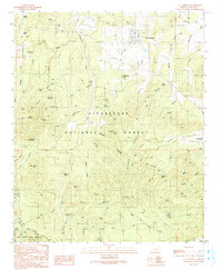
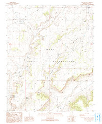
(67)- 1990 Map of Big Pug Tank, 1991 Print
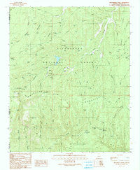
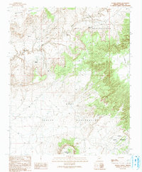
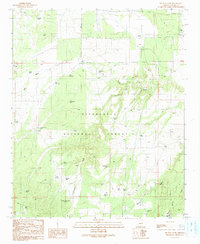 1990 Big Pug Tank1991 Print · USGSNavajo County ranching and forest lands are captured in the early nineties, showing a landscape defined by water management and drainage. Researchers can trace land use through features like the Corral, Big Pug Tank, and the southern vicinity of Clay Springs.
 - 1990 Map of Onion Spring, 1991 Print
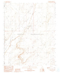
 1990 Onion Spring1991 Print · USGSNavajo County land within the Hopi Indian Reservation is captured here as it appeared in the late twentieth century. Researchers can trace the geography of the Second Mesa and locate remote landmarks like Onion Spring, Coal Point, and Wepo Wash.
 - 1990 Map of Heber, 1991 Print
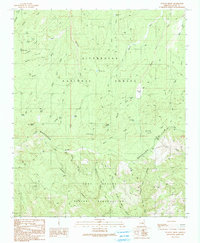
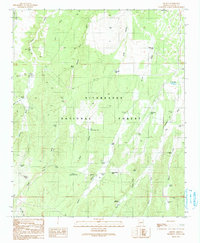
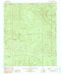
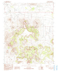
 1990 Heber1991 Print · USGSHeber and Overgaard appear as thriving mountain communities during the 1980s, set against the backdrop of the Sitgreaves National Forest. Local historians can trace town developments near Tall Timbers County Park, the Overgaard Airport, and the Heber Ranger Station.
 - 1990 Map of Low Mountain, 1991 Print
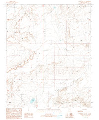
 1990 Low Mountain1991 Print · USGSThe Navajo and Hopi reservations meet in the high desert of Navajo County during the late twentieth century. Researchers can trace land use through water features like Tse Chizzi Spring and high-altitude landmarks including Smoke Signal Point.
 - 1990 Map of Gentry Mountain, 1991 Print
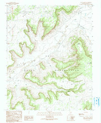
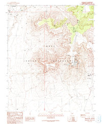
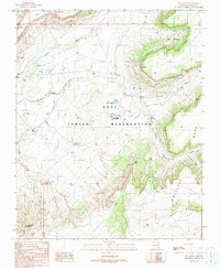
 1990 Gentry Mountain1991 Print · USGSHigh mesas and deep canyons define this Gila County territory during the 1990s as it transitions from national forest to tribal lands. Genealogists and historians can locate a remote grave near Pine Spring or trace mining activity through several adits and prospects.
 - 1990 Map of Outlaw Draw, 1991 Print
 1990 Outlaw Draw1991 Print · USGSNavajo County's high-country terrain is captured here in the 1990s as it drops away from the Mogollon Rim. Local historians and researchers can trace old wilderness access routes and water features like the Buckskin Lookout Tower, Whiskey Spring, and Walker Park.
 - 1990 Map of Echo Canyon, 1991 Print
 1990 Echo Canyon1991 Print · USGSMesa country at the turn of the 1990s reveals a landscape of high-plateau drainage and reservation boundaries. Trace the seasonal water systems of Polacca Wash and Echo Canyon or locate land-use features like check dams and Echo Spring.
 - 1990 Map of O W Point, 1991 Print
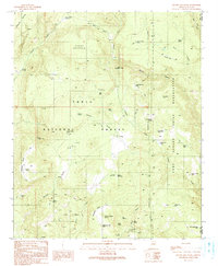
 1990 O W Point1991 Print · USGSThe Mogollon Rim country comes into sharp focus during the early 1990s as forest communities and mountain recreation areas expanded. Researchers can trace the development of Forest Lakes, find the Gravel Pit, and locate remote landmarks like Willow Springs Lake and North Ow Point.3 unique versions available
 - 1990 Map of Clay Springs, 1991 Print
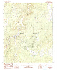
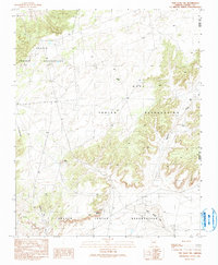
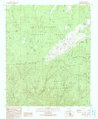
 1990 Clay Springs1991 Print · USGSThe high plateau of Navajo County is documented here during the late twentieth century, showing the forest and canyon country north of the Mogollon Rim. Local historians can trace the Old Grade Railroad and locate community landmarks like the Cem and PO in Clay Springs.
 - 1990 Map of Tsin Naan Tee, 1991 Print
 1990 Tsin Naan Tee1991 Print · USGSThe Navajo and Hopi nations meet in this high-desert plateau during the late twentieth century. Researchers can trace land use patterns through isolated features like Beshbito Wash, Tsin Naan Tee, and the Check Dams managing seasonal desert water.
 - 1990 Map of Aripine, 1991 Print
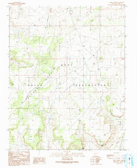
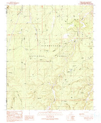
 1990 Aripine1991 Print · USGSNavajo County ranching and forest lands are captured in the early 1990s as the high-country landscape of the Sitgreaves National Forest remained largely centered on livestock. Researchers can trace the layout of Aripine, the grounds of Sundown Girls Ranch, and historic water improvements like Shumway Tank and Flake Ranch.
 - 1990 Map of Weimer Point, 1991 Print
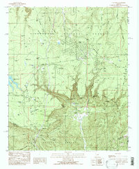
 1990 Weimer Point1991 Print · USGSCoconino County high country in the early nineties is defined here by deep canyon systems and a vital network of livestock tanks. Trace the landscape from Chevelon Canyon Lake across family-named landmarks like Joe Smith Canyon and Weimer Point.2 unique versions available
 - 1990 Map of Brookbank Point, 1991 Print
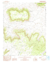
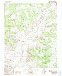
 1990 Brookbank Point1991 Print · USGSThe Mogollon Rim country of the 1990s was a rugged territory of cattle ranching and early forest recreation. Genealogists and historians can locate specific sites like the Gentry Lookout Tower, the Black Canyon Lake Recreation Site, and isolated markers such as a Grave and Cem.
 - 1990 Map of Parallel Canyon, 1991 Print
 1990 Parallel Canyon1991 Print · USGSGila County ranching and forest lands are captured in this late twentieth-century study, showcasing the high-elevation terrain before modern developments. Researchers can trace remote sites like Oak Creek Ranch, the Red Lake FS Station, and the Redman Cave Grave.
 - 1990 Map of Day Spring, 1991 Print
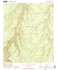
 1990 Day Spring1991 Print · USGSThe high timberlands and dramatic escarpments of the Arizona high country are captured here in the late twentieth century. Researchers can trace land use patterns across the Mogollon Rim, from remote camps like the Trailer Park to essential water sources like Day Spring and Hidden Spring.
 - 1990 Map of Hanks Draw, 1991 Print
 1990 Hanks Draw1991 Print · USGSSitgreaves National Forest at the turn of the 1990s reveals a rugged landscape of ranching waterworks and forest recreation. Researchers can trace the drainage of Saloon Canyon and locate points of interest like Camp Shadow Pines and Wildcat Spring.
 - 1990 Map of Wepo Village, 1991 Print
 1990 Wepo Village1991 Print · USGSThe Hopi Indian Reservation in the 1990s reveals a unique landscape of high mesas and vital desert water sources. Local history researchers can trace the vicinity of Wepo Village, locating family-named springs such as Donkey Spring and the local Cemetery.
 - 1991 Map of Burro Spring
 1991 Burro Spring1991 Print · USGSThe Hopi Indian Reservation in the early nineties reveals a landscape of high-desert water management and mineral exploration. Researchers can trace the path of Oraibi Wash past isolated landmarks like Burro Spring, Shonto Spring, and several remote Prospects.
 - 1991 Map of Hauke Mesa
 1991 Hauke Mesa1991 Print · USGSThe borderlands of the Hopi and Navajo reservations are revealed in this late-century survey of the high desert. Researchers can trace the importance of water through landmarks like Betony Reservoir and Horse Spring, or locate remote sites including a Cemetery and scattered Graves.
 - 1991 Map of Tovar Mesa East
 1991 Tovar Mesa East1991 Print · USGSThe high plateau of Navajo County is captured here in the late twentieth century. Researchers can trace remote desert routes to Sa'lako and Tees Toh, or locate water sources like Jeddito Wash and various Water Tanks across the mesa.
 - 1991 Map of Shungopavi
 1991 Shungopavi1991 Print · USGSThe high mesas of the Hopi Indian Reservation are documented here in the early nineties, centered on the ancient village of Shungopavi. Genealogists and historians can locate numerous named water sources like Stinkbug Spring and Brownrock Spring used by residents of Second Mesa.
 - 1991 Map of Kykotsmovi
 1991 Kykotsmovi1991 Print · USGSThe Hopi heartland on the high mesas of northern Arizona is meticulously documented in this early nineties survey. Genealogists and historians can locate specific villages such as Kykotsmovi and Mungyaovi or trace the levee system along the Oraibi Wash.
 - 1991 Map of Tovar Mesa West
 1991 Tovar Mesa West1991 Print · USGSNavajo and Hopi lands intersect in the Arizona desert during the early 1990s, revealing a landscape shaped by mesas and seasonal washes. Researchers can locate remote ranching infrastructure like Corrals and Water Tanks along the route of Polacca Wash.
 - 1991 Map of Sun Altar
 1991 Sun Altar1991 Print · USGSThe Hopi Reservation in the early nineties reveals a landscape of high mesas and vital desert springs. Researchers can trace the location of the Hopi High Sch and small residential clusters like Five Houses and Windswept Terrace.
 - 1991 Map of Jeddito Spring
 1991 Jeddito Spring1991 Print · USGSThe high desert landscape of the Navajo and Hopi nations is captured here in the early nineties, centered on the dramatic rise of Antelope Mesa. Genealogists and historians can locate remote water sources like Jeddito Spring and landmarks like Stephen Butte.
Showing maps 1-25 of 67
Top cities of Navajo County
- Show Low historical maps
- Winslow historical maps
- Snowflake historical maps
- Kayenta historical maps
- Holbrook historical maps
- Pinetop-Lakeside historical maps
See more
Frequently asked questions
- What are the different types of historical maps available for Navajo County?
- What is the oldest map of Navajo County?
- Where can I purchase historical maps of Navajo County for my home or office?
- Where can I download high-res historical maps of Navajo County?
- Are there historical topographic maps available for Navajo County?
- Is there historical aerial imagery available for Navajo County?
- Where are historical maps of Navajo County sourced from?