1970s Maps of Arkansas
Explore 346 historic maps of Arkansas from the 1970s. These maps offer a rare glimpse into what life looked like during the 1970s — showing old roads, neighborhoods, homes, and landmarks that have changed or disappeared over time.
Whether you're researching your family's past, planning a metal detecting trip, or studying how Arkansas's landscape evolved across the 1970s, these high-resolution maps are a powerful tool for exploring the history of this region.
- Focus on a specific era: All maps on this page are from the 1970s, giving you a focused view of this time period.
- See what’s changed: Compare century-old streets, trails, and buildings to today's modern landscape using overlays and satellite layers.
- Research with precision: Use these maps for genealogy, historical research, land use analysis, or educational projects.
- View, download, or print: Maps are fully viewable online in high resolution, and can be downloaded or printed for your own records.
Start exploring Arkansas's history through authentic maps from the 1970s. This is your window into the past.
Arkansas maps
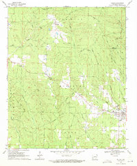
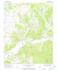
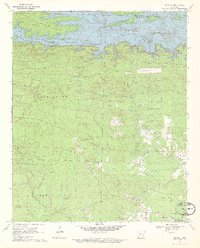
(346)- 1970 Map of Indian Bay
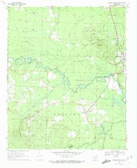
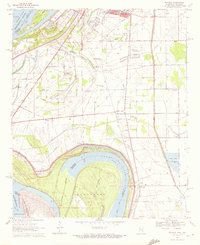
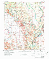 1970 Indian Bay1970 Print · USGSThe White River bottomlands in the late sixties remain a maze of oxbow lakes and wetlands along the Monroe and Phillips county lines. Genealogists can trace family names at St John Cem or locate rural landmarks like Hill Chapel and the Indian Mound.2 unique versions available
 - 1970 Map of De Witt
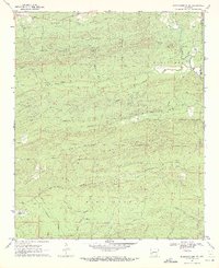
 1970 De Witt1970 Print · USGSThe Arkansas Delta comes to life in this survey of the De Witt area, where a complex network of flumes and bayous supports a thriving agricultural landscape. Trace the local heritage through family-named landmarks like Yoder Cem, Eldridge Corner, and Forks LaGrue Ch.
 - 1970 Map of Pace
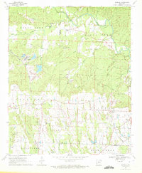
 1970 Pace1970 Print · USGSThe Mississippi Delta's rail-and-river landscape comes alive in this 1970s survey of Bolivar County. Researchers can trace family history through dozens of rural landmarks like Peters Rock Ch, the Gunnison Cem, and the tracks of the Illinois Central Railroad.
 - 1970 Map of Henrico
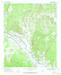
 1970 Henrico1970 Print · USGSThe Arkansas Delta comes into focus during the late sixties, where the meandering White River meets the heavy timber of the White River National Wildlife Refuge. Genealogists and researchers can trace family-named sites like Nichols Cem, the community of Snow Lake, and 24 New Canaan Ch.
 - 1970 Map of Delight, 1971 Print
 1970 Delight1971 Print · USGSThe community of Delight and its surrounding timberlands are documented here just as the late twentieth century began. Genealogists and local historians can trace family roots through landmarks like Brocktown Cem, Saline Ch, and the rural settlement at Steltown.2 unique versions available
 - 1970 Map of Luna, 1971 Print
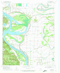
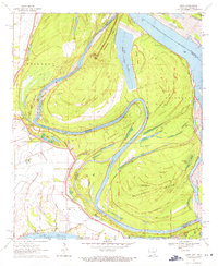 1970 Luna1971 Print · USGSThe Arkansas-Mississippi border country along the great river bends comes to life in the early 1970s. Trace the history of river commerce and flood control through local sites like Gaines Landing, the Panther Forest Crevasse, and Luna Landing.2 unique versions available
 - 1970 Map of Glen Allan, 1972 Print
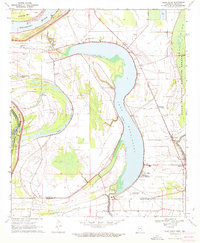 1970 Glen Allan1972 Print · USGSThe Mississippi Delta in the early seventies reveals a landscape defined by massive oxbow lakes and river bends. Genealogists and local historians can trace family roots through sites like Glen Allan, Magnolia Ch Cem, and the ancient Indian Mounds near the wildlife refuge.
 - 1970 Map of Greenville, 1972 Print
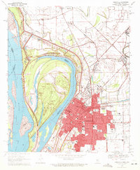 1970 Greenville1972 Print · USGSGreenville and the Mississippi River frontline are captured here in the early seventies, showing a landscape shaped by massive river cutoffs. Genealogists can locate family landmarks like Old Mt Tabor Cem, Macedonia Ch, and Winterville.2 unique versions available
 - 1970 Map of Gallatin, 1972 Print
 1970 Gallatin1972 Print · USGSBenton County at the start of the seventies shows a landscape where prairie agriculture meets the deep woods of the Ozarks. Genealogists can trace family footprints through sites like Lone Elm Cem, Fairmount Cem, and the Shady Grove Church.3 unique versions available
 - 1970 Map of Wright, 1972 Print
 1970 Wright1972 Print · USGSJefferson and Pulaski counties meet along the winding Arkansas River in the early seventies. Genealogists and local historians can trace family landmarks like Watkins Chapel, the Pastoria Sch, and the riverside Tar Camp Public Use Area.2 unique versions available
 - 1970 Map of Hardin, 1972 Print
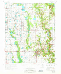
 1970 Hardin1972 Print · USGSJefferson and Grant counties appear here during the early seventies, capturing a transition between small rural settlements and industrial expansion. Researchers can trace family roots at New Shiloh Ch or Hardin Cem, while mapping the impact of the Missouri Pacific RR and Pine Bluff Arsenal.4 unique versions available
 - 1970 Map of Evansville, 1972 Print
 1970 Evansville1972 Print · USGSSettled valleys and mountain ridges define the Arkansas-Oklahoma border during the early seventies. Genealogists can trace family roots through numerous burial sites like Vineyard Cem, Goddard Cem, and the community of Dutch Mills.3 unique versions available
 - 1970 Map of Whelen Springs, 1972 Print
 1970 Whelen Springs1972 Print · USGSWhelen Springs and the rural townships of Clark County appear here in the early 1970s, as the Missouri Pacific railroad still anchored the river valley economy. Genealogists can trace family names through landmarks like Brown Cem, Sycamore Grove Ch, and the settlement at Cummings Springs.2 unique versions available
 - 1970 Map of Murfreesboro, 1972 Print
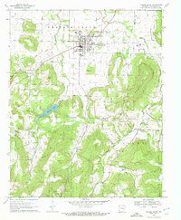
 1970 Murfreesboro1972 Print · USGSThe Pike County seat and its world-famous diamond field are captured here during the early 1970s. Trace the local genealogy and land use of the river valley through sites like the Crater of Diamonds, Indian Mounds, and Maple Springs Ch.2 unique versions available
 - 1970 Map of Prescott East, 1972 Print
 1970 Prescott East1972 Print · USGSNevada County, Arkansas, is captured here in the early seventies as the railroad and river define the local landscape. Genealogists and historians can trace family locations near Providence Cem, Boughton, and the rural Moscow Ch.
 - 1970 Map of Rudy NE, 1972 Print
 1970 Rudy NE1972 Print · USGSCrawford County's mountain ridges and deep creek valleys are captured here in the early 1970s before modern expansion. Genealogists can trace family landmarks and burial sites like Oak Grove Cem, Kimbler Cem, and the high peak of Bradford Knob.3 unique versions available
 - 1970 Map of Prairie Grove, 1972 Print
 1970 Prairie Grove1972 Print · USGSNorthwest Arkansas in the early seventies shows the rural legacy of Washington County as small farm towns and hollows remain largely intact. Genealogists can trace family landmarks and cemeteries like Billingsley Cem, Hogeye, and the Illinois Chapel Cem.4 unique versions available
 - 1970 Map of De Gray, 1972 Print
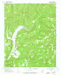
 1970 De Gray1972 Print · USGSNear the Arkansas foothills in the early seventies, the landscape shows the recent impact of the De Gray Reservoir on the Caddo River. Researchers can trace old family roots and rural networks through sites like Greenville, Golden Cemetery, and Hearn Church.3 unique versions available
 - 1970 Map of Murfreesboro NE, 1972 Print
 1970 Murfreesboro NE1972 Print · USGSNortheastern Pike County appears as a network of ridges and river valleys in the early 1970s. Genealogists and local historians can trace legacy sites like Macedonia Cem and Hannon Cem or locate the old Shale Pit near Woodall Creek.2 unique versions available
 - 1970 Map of Hollywood, 1972 Print
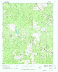
 1970 Hollywood1972 Print · USGSThe Clark County countryside around Hollywood is shown here in the early seventies, featuring a complex network of waterways and drainage ditches. Genealogists can trace family names through landmarks like Rodgers Cem, Shady Grove Ch, and South Central.2 unique versions available
 - 1970 Map of Nathan, 1972 Print
 1970 Nathan1972 Print · USGSSouthwest Arkansas in the early seventies shows a landscape shaped by timber and mining transport. Genealogists and local historians can trace family locations near Corinth, Nathan, and numerous burial sites like Biggs Chapel Cem and Polk Cem.2 unique versions available
 - 1970 Map of Wayside, 1972 Print
 1970 Wayside1972 Print · USGSThe Mississippi Delta riverfront south of Greenville appears here in the early seventies, defined by oxbows and rural church communities. Genealogists and historians can trace family locations near Lakeview Gardens Cem, Wayside, and The Old Evening Star Ch.
 - 1970 Map of Strickler, 1972 Print
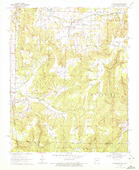
 1970 Strickler1972 Print · USGSThe Boston Mountains of Washington County are shown here in the early 1970s, just as the rural landscape of the Ozarks began to see modern shifts. Genealogists and local historians can locate many family landmarks, from Scott Cem and Dunkard Cem to Bee Scuffle Ch and the settlement of Strickler.4 unique versions available
 - 1970 Map of Reader, 1972 Print
 1970 Reader1972 Print · USGSThe Little Missouri River bottomlands and timber country are captured here in the early 1970s. Local researchers can trace family landmarks and rural life at Bethlehem Ch, the Lewis Randolph Grave, and the rail town of Reader.2 unique versions available
 - 1970 Map of Center Point NE, 1972 Print
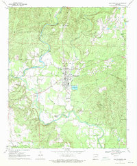
 1970 Center Point NE1972 Print · USGSPike and Howard counties in the early 1970s showcase a landscape where recreational development met rural tradition. Genealogists and hikers can trace sites like Eden Landmark Ch, the Shiloh Cem, and the high points of White Mountain.
Showing maps 1-25 of 346
Top cities of Arkansas
- Little Rock historical maps
- Fayetteville historical maps
- Fort Smith historical maps
- Springdale historical maps
- Jonesboro historical maps
- Rogers historical maps
See more
Top counties of Arkansas
- Pulaski County historical maps
- Benton County historical maps
- Washington County historical maps
- Sebastian County historical maps
- Faulkner County historical maps
- Saline County historical maps
See more
Frequently asked questions
- What are the different types of historical maps available for Arkansas?
- What is the oldest map of Arkansas?
- Where can I purchase historical maps of Arkansas for my home or office?
- Where can I download high-res historical maps of Arkansas?
- Are there historical topographic maps available for Arkansas?
- Is there historical aerial imagery available for Arkansas?
- Where are historical maps of Arkansas sourced from?