2010s Maps of Arkansas
Explore 2,793 historic maps of Arkansas from the 2010s. These maps offer a rare glimpse into what life looked like during the 2010s — showing old roads, neighborhoods, homes, and landmarks that have changed or disappeared over time.
Whether you're researching your family's past, planning a metal detecting trip, or studying how Arkansas's landscape evolved across the 2010s, these high-resolution maps are a powerful tool for exploring the history of this region.
- Focus on a specific era: All maps on this page are from the 2010s, giving you a focused view of this time period.
- See what’s changed: Compare century-old streets, trails, and buildings to today's modern landscape using overlays and satellite layers.
- Research with precision: Use these maps for genealogy, historical research, land use analysis, or educational projects.
- View, download, or print: Maps are fully viewable online in high resolution, and can be downloaded or printed for your own records.
Start exploring Arkansas's history through authentic maps from the 2010s. This is your window into the past.
Arkansas maps
- 2011 Map of Chic, 2011 Print
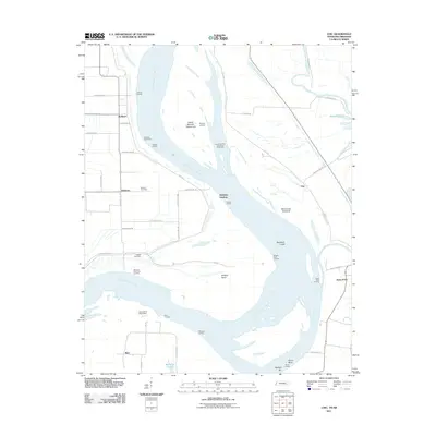 2011 Chic2011 Print · USGSThe Tennessee and Arkansas riverlands are captured here in the early twenty-first century, showing a landscape shaped by the Mississippi River. Researchers can trace old family names and sites like Buckner Cemetery, Hales Point, and the Needham Cutoff.
 - 2011 Map of Rosa, 2011 Print
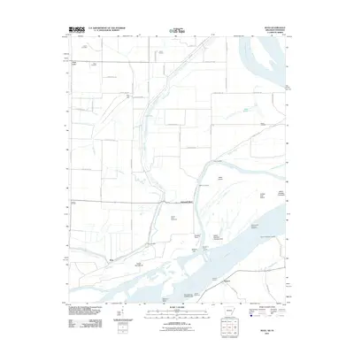 2011 Rosa2011 Print · USGSThe Mississippi River floodplain comes alive in this 2011 survey of the Arkansas-Tennessee border. Genealogists and local historians can trace family-named sites like Mann Cemetery and river access points including Sadie Lee Landing and Ashport.
 - 2011 Map of Nodena, 2011 Print
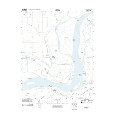 2011 Nodena2011 Print · USGSThe riverfronts of Arkansas and Tennessee meet here along the Mississippi during the early twenty-first century. Researchers can trace historic river landings and burial grounds such as Old Randolph Cemetery, Nodena, and Saw Mill Landing.
 - 2011 Map of Golddust, 2011 Print
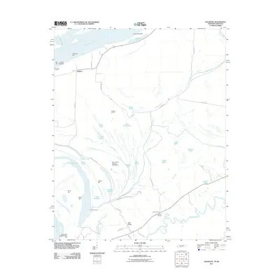 2011 Golddust2011 Print · USGSThe Tennessee-Arkansas borderlands come to life in this 2011 survey of the Mississippi River bottomlands. Researchers can locate family sites near Bates Cemetery, trace the old river bends of Jones Slough, and explore the river landing at Golddust.
 - 2011 Map of Armorel, 2011 Print
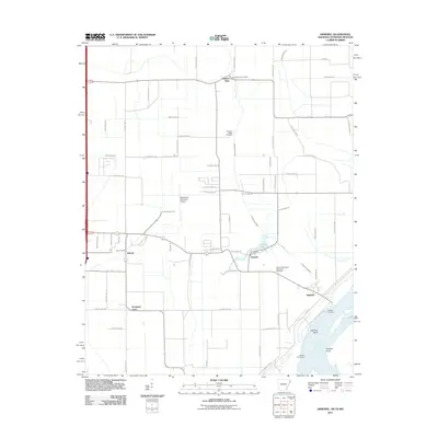 2011 Armorel2011 Print · USGSMississippi County at the start of the twenty-first century reveals a landscape defined by industrial drainage and riverfront life. Genealogists and local historians can trace family sites from Promised Land to the African Methodist Episcopal Cemetery and the uniquely named Number Nine.
 - 2011 Map of Open Lake, 2011 Print
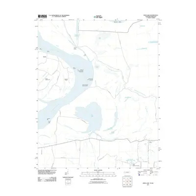 2011 Open Lake2011 Print · USGSThe Arkansas-Tennessee borderlands along the Mississippi River are shown here in the early twenty-first century, featuring riverfront landings and intricate bottomland bayous. Researchers can trace the river economy through Tomato Landing and Carr Landing, or find local family sites near Ashport Cemetery.
 - 2011 Map of Cottonwood Point, 2011 Print
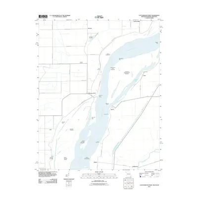 2011 Cottonwood Point2011 Print · USGSThe tri-state riverlands of Missouri, Tennessee, and Arkansas are shown here during the early twenty-first century as the Mississippi continues to shape the local geography. Researchers can trace riverside heritage at Cottonwood Point, locate the Taylor Cemetery, and explore historic water access points like Ayers Landing.
 - 2011 Map of Patmos, 2011 Print
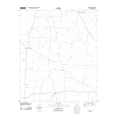 2011 Patmos2011 Print · USGSHempstead County at the start of the 2010s reveals a quiet network of rural settlements and family burial grounds. Local historians can trace the paths between Evening Shade, New Hope, and Patmos, or locate sites like Huckabee Cemetery and Giles Cemetery.
 - 2011 Map of Boyd Hill, 2011 Print
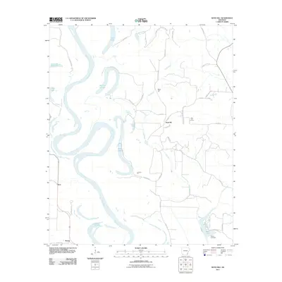 2011 Boyd Hill2011 Print · USGSMiller County at the dawn of the 2010s reveals a landscape shaped by the shifting Red River. Researchers can trace old family sites and local history through the Boyd Hill Cemetery, the Dooley Ferry Crossing, and oxbows like 1927 Cut off Lake.
 - 2011 Map of Calhoun, 2011 Print
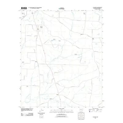 2011 Calhoun2011 Print · USGSColumbia County at the start of the 2010s shows a landscape where industrial energy extraction meets rural Arkansas life. Genealogists and historians can trace local landmarks like Kings Hill Cemetery, the community of Brister, and the Magnolia Oil and Gas Field.
 - 2011 Map of Lewisville, 2011 Print
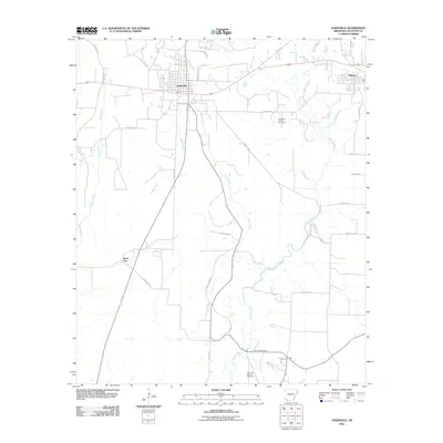 2011 Lewisville2011 Print · USGSLafayette County enters a new decade with its classic oil-and-gas landscape and rural settlements intact. Researchers can trace the layout of Lewisville and Stamps, or locate family sites near the Mars Hill Cemetery and the Lewisville Oil and Gas Field.
 - 2011 Map of Sparkman, 2011 Print
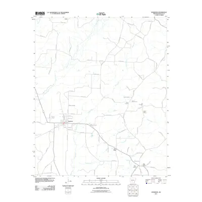 2011 Sparkman2011 Print · USGSThe town of Sparkman and its outlying rural settlements appear here during the early 21st century as a landscape of creeks and country cemeteries. Genealogists and local historians can trace family roots through numerous sites like Old New Hope Cemetery, Williams Cemetery, and the Key Hill Lookout Tower.
 - 2011 Map of Tinsman, 2011 Print
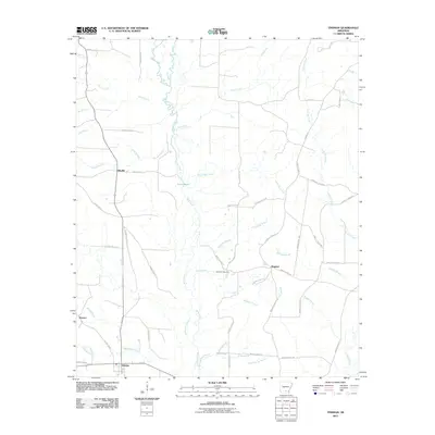 2011 Tinsman2011 Print · USGSCalhoun County timberlands and rural crossroads are captured here during the early twenty-first century. Genealogists can locate Williams Cemetery and trace the small settlements of Tinsman, Ellisville, and Wagnon along the winding banks of Moro Creek.
 - 2011 Map of Macedonia, 2011 Print
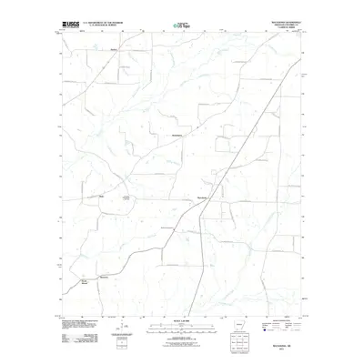 2011 Macedonia2011 Print · USGSColumbia County, Arkansas, remains a landscape of quiet rural settlements and active energy production in the early twenty-first century. Genealogists and local historians can trace family roots through Macedonia Cemetery and the crossroads at Philadelphia and Harmony.
 - 2011 Map of Louann, 2011 Print
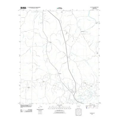 2011 Louann2011 Print · USGSOuachita County oil country and rural settlements are well-documented in this 2011 study of the Louann area. Local historians can trace family roots through the East Pace City Oil and Gas Field and numerous burial grounds like Old Liberty Cemetery and Jones Cemetery.
 - 2011 Map of New London, 2011 Print
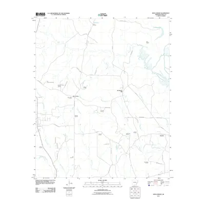 2011 New London2011 Print · USGSNew London and the surrounding Union County timberlands are documented here during the early twenty-first century. Researchers can trace family sites like Wallace Cemetery and Ebenezer Cemetery or the industrial footprint of McGlendon Mill.
 - 2011 Map of Wesson, 2011 Print
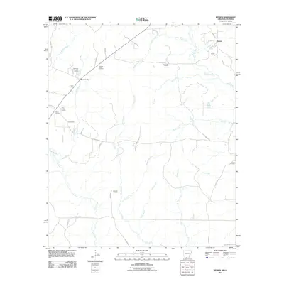 2011 Wesson2011 Print · USGSThe rural borderlands of Union County, Arkansas, are seen here just after the turn of the decade. Genealogists can trace family heritage across a remarkable concentration of burial sites, including Jones Cemetery, Masondia Cemetery, and Andrews Chapel Cemetery.
 - 2011 Map of East Camden, 2011 Print
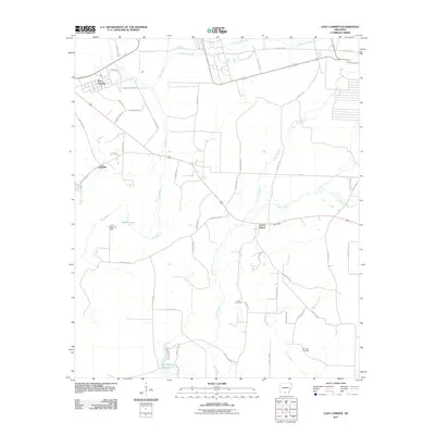 2011 East Camden2011 Print · USGSOuachita County at the dawn of the 2010s reveals a landscape shaped by petroleum and winding bayous. Genealogists and local historians can locate Furr Cemetery, trace the Locust Bayou Oil Field, or follow the banks of Two Bayou.
 - 2011 Map of McKinney, 2011 Print
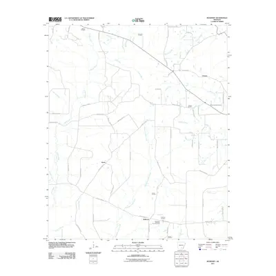 2011 McKinney2011 Print · USGSSouthern Arkansas rural life at the start of the decade is preserved here through its scattered communities and family landmarks. Researchers can trace ancestral roots at the Good Hope Methodist Church Cemetery or follow the waters of L'Aigle Creek and Steepbank L'Aigle Creek.
 - 2011 Map of Buckner, 2011 Print
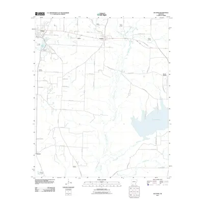 2011 Buckner2011 Print · USGSLafayette County enters the second decade of the new millennium as a landscape shaped by petroleum and winding waterways. Genealogists and local historians can locate several family burial sites, including Mount Zion Cemetery, or trace the development around the Buckner Oil and Gas Field and Lake Columbia.
 - 2011 Map of Troy, 2011 Print
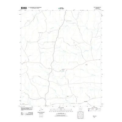 2011 Troy2011 Print · USGSSouthern Arkansas at the start of the 2010s reveals a quiet landscape of bayous and petroleum production. Genealogists and local historians can trace family locations near the East Troy Oil Field or burial sites at Adams Chapel Cemetery and Zion Hill Cemetery.
 - 2011 Map of Magnolia NW, 2011 Print
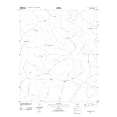 2011 Magnolia NW2011 Print · USGSColumbia County at the start of the 2010s was a landscape defined by oil fields and timbered creek bottoms. Researchers can trace family history through sites like Watts Cemetery and the Glenville Lookout Tower or locate the North Stephens Oil and Gas Field.
 - 2011 Map of Ouachita, 2011 Print
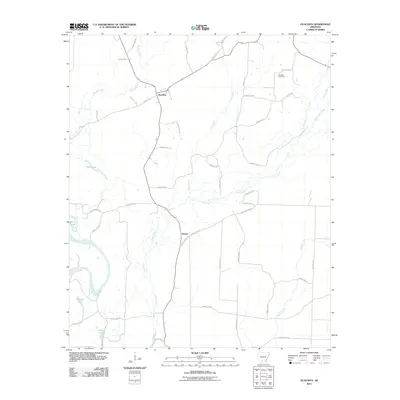 2011 Ouachita2011 Print · USGSThe Ouachita River bottoms and Dallas County timberlands are captured here in the early twenty-first century. Genealogists and local historians can locate Brazeale Cemetery and trace the rural layouts of Ouachita and Smead near Tulip Creek.
 - 2011 Map of Harrell Brake, 2011 Print
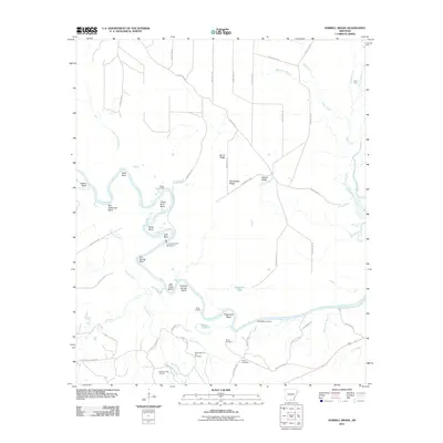 2011 Harrell Brake2011 Print · USGSThe Ouachita River dominates this Union County landscape in the early twenty-first century, carving a path through numerous bends and ridges. Researchers can trace the local energy economy and family history at the Wilmington Oil and Gas Field, Miller Cemetery, and Lock and Dam Number 8.
 - 2011 Map of Bradley NE, 2011 Print
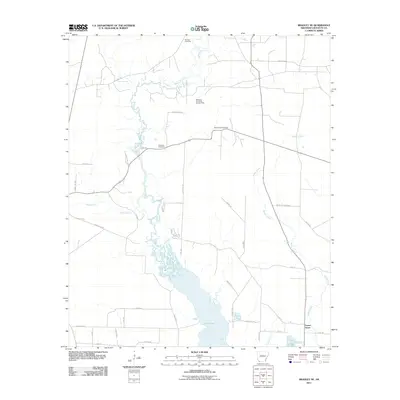 2011 Bradley NE2011 Print · USGSLafayette County, Arkansas, is captured here in the early twenty-first century, showcasing a landscape shaped by both nature and industry. Genealogists and local historians can trace the sites of Demoss Cemetery, the Forest Grove settlement, and the McKemie- Patton Oil and Gas Field.
Showing maps 1-25
Top cities of Arkansas
- Little Rock historical maps
- Fayetteville historical maps
- Fort Smith historical maps
- Springdale historical maps
- Jonesboro historical maps
- Rogers historical maps
See more
Top counties of Arkansas
- Pulaski County historical maps
- Benton County historical maps
- Washington County historical maps
- Sebastian County historical maps
- Faulkner County historical maps
- Saline County historical maps
See more
Frequently asked questions
- What are the different types of historical maps available for Arkansas?
- What is the oldest map of Arkansas?
- Where can I purchase historical maps of Arkansas for my home or office?
- Where can I download high-res historical maps of Arkansas?
- Are there historical topographic maps available for Arkansas?
- Is there historical aerial imagery available for Arkansas?
- Where are historical maps of Arkansas sourced from?