1950s Maps of Arkansas
Explore 212 historic maps of Arkansas from the 1950s. These maps offer a rare glimpse into what life looked like during the 1950s — showing old roads, neighborhoods, homes, and landmarks that have changed or disappeared over time.
Whether you're researching your family's past, planning a metal detecting trip, or studying how Arkansas's landscape evolved across the 1950s, these high-resolution maps are a powerful tool for exploring the history of this region.
- Focus on a specific era: All maps on this page are from the 1950s, giving you a focused view of this time period.
- See what’s changed: Compare century-old streets, trails, and buildings to today's modern landscape using overlays and satellite layers.
- Research with precision: Use these maps for genealogy, historical research, land use analysis, or educational projects.
- View, download, or print: Maps are fully viewable online in high resolution, and can be downloaded or printed for your own records.
Start exploring Arkansas's history through authentic maps from the 1950s. This is your window into the past.
Arkansas maps
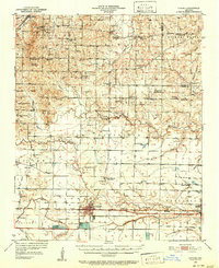
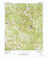
(212)- 1950 Map of Mcalester
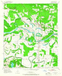
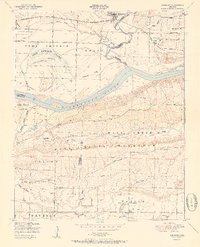
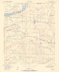
 1950 Mcalester1950 Print · USGSThe Ouachita Mountains and the coal country of Southeast Oklahoma are shown here in the late 1940s. Genealogists and historians can trace the rail-driven growth of McAlester, Wilburton, and Antlers alongside the rugged terrain of Kiamichi Mountain.2 unique versions available
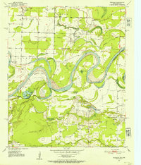
 - 1950 Map of Helena
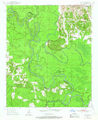
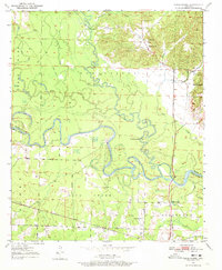
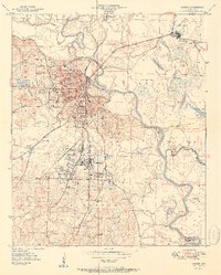
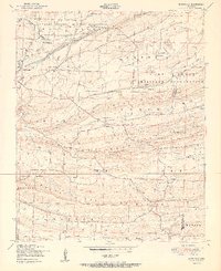
 1950 Helena1950 Print · USGSMid-century Phillips County and the surrounding Delta region are shown at a peak of rail and river commerce. Genealogists and historians can trace family locations through numerous rural communities like Old Austin, Cotton Plant, and West Helena, or follow the routes of the Missouri Pacific RR across Grand Prairie.2 unique versions available
 - 1950 Map of Lonoke, 1952 Print
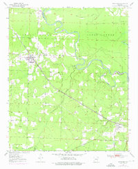
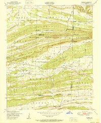
 1950 Lonoke1952 Print · USGSLonoke and Carlisle are centered in this mid-century survey of central Arkansas, highlighting a landscape shaped by rail and river. Genealogists can trace family roots at Camp Nelson Confederate Cem or locate rural landmarks like Jacksons Store and Sylvania.2 unique versions available
 - 1950 Map of Redbank, 1954 Print
 1950 Redbank1954 Print · USGSBowie County and the Arkansas border are defined by the winding Red River in the early fifties, showing a rural landscape of oxbow lakes and timbered bottoms. Researchers can trace local landmarks like Elizabeth Academy Ch, the Rifle Range (Abandoned), and Hughes Cem.3 unique versions available
 - 1950 Map of Ashdown East, 1956 Print
 1950 Ashdown East1956 Print · USGSLittle River County at the midpoint of the century is defined by its winding river oxbows and vital rail junctions. Researchers can trace the path of the Kansas City Southern railroad through Ashdown or locate rural landmarks like Zealia Chapel and Fomby Sch.2 unique versions available
 - 1950 Map of Ashdown West, 1956 Print
 1950 Ashdown West1956 Print · USGSLittle River County at mid-century centers on the rail crossroads of Ashdown and the rural agricultural lands surrounding it. Researchers can trace historic family landmarks through sites like Richmond Cem, Elmore Ch, and the small community of Wilton.2 unique versions available
 - 1950 Map of Ogden, 1966 Print
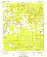
 1950 Ogden1966 Print · USGSThe riverlands of Southwest Arkansas are captured here in the mid-century, where the Red River meanders through a landscape of oxbow lakes and bayous. Researchers can trace the heritage of local communities through named schools and churches like Rosenwald Sch, Summer Hill Ch, and the settlement of Ogden.4 unique versions available
 - 1950 Map of Red Bluff, 1966 Print
 1950 Red Bluff1966 Print · USGSHempstead and Little River counties are captured at mid-century as the river-and-rail economy shaped local life. Genealogists can locate family landmarks like Saratoga Cemetery, Mt Olive Church, and the site of Ward Ferry.2 unique versions available
 - 1950 Map of Ben Lomond, 1966 Print
 1950 Ben Lomond1966 Print · USGSMid-century Sevier and Little River counties appear here as a patchwork of river-bottom farms and small timber-country settlements. Genealogists and researchers can trace local roots at Rice Chapel, White Cliffs Sch, and the White Cliffs Station along the river.2 unique versions available
 - 1950 Map of Barkman, 1969 Print
 1950 Barkman1969 Print · USGSThe Texas-Arkansas borderlands are captured here at mid-century, where the Red River's shifting path created a rich landscape of oxbow lakes and bayous. Genealogists can trace rural life through landmarks like Rosenwald Sch, Barkman, and the Clear Lake Cem.5 unique versions available
 - 1950 Map of Salem, 1973 Print
 1950 Salem1973 Print · USGSFulton County and the surrounding Ozark borderlands are captured here in the mid-twentieth century, centered on the community of Salem. Local researchers can locate family homesteads near landmarks like Wesley Chapel, Bexar, and the Liberty Hill Ch.2 unique versions available
 - 1950 Map of Falls Chapel, 1973 Print
 1950 Falls Chapel1973 Print · USGSThe river bottomlands of Sevier and Little River counties are captured here in the early postwar era, as the Cossatot River meanders toward its confluence. Genealogists can trace family landmarks like Hopson Cem and the Paraclifta Monument or the rail lines of the Kansas City Southern.2 unique versions available
 - 1950 Map of Winthrop, 1976 Print
 1950 Winthrop1976 Print · USGSLittle River County and Sevier County are captured here at mid-century, showcasing the intersection of the rail economy and the river lowlands. Researchers can trace the path of the Kansas City Southern railroad as it connects Winthrop and Alleene, or locate family sites near Alleene Cem and Freeman Cem.
 - 1951 Map of Fort Smith
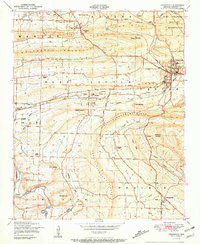
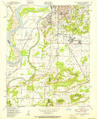
 1951 Fort Smith1951 Print · USGSFort Smith and its neighboring Oklahoma borderlands are captured here during a period of significant mid-century growth and industrial connectivity. Researchers can trace the development of urban neighborhoods and rural outposts like Moffett, Dora, and Bluemouse School.2 unique versions available
 - 1951 Map of Greenwood
 1951 Greenwood1951 Print · USGSSebastian County's coal and rail landscape is captured here in the early fifties, centering on the junction at Greenwood. Researchers can locate several Strip mines, rural institutions like Palestine School and Church, and the division of Old Jenny Lind and New Jenny Lind.4 unique versions available
 - 1951 Map of Van Buren
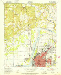
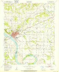 1951 Van Buren1951 Print · USGSCrawford County's river-front industry and rural settlements are captured in the late 1940s, just as the postwar era began to shape the Van Buren landscape. Genealogists and historians can locate family landmarks such as Fairview Cemetery, Wright Town, and the old Zinc smelter.2 unique versions available
 - 1951 Map of Barling
 1951 Barling1951 Print · USGSThe military expansion at Camp Chaffee and the riverside life of Sebastian County are captured here in the years following the war. Researchers can trace family sites near New Jenny Lind or locate the St Marys Ch and Sch and various local coal mines.2 unique versions available
 - 1951 Map of Ione
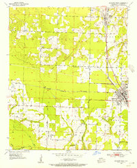
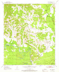
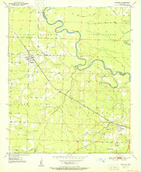
 1951 Ione1951 Print · USGSLogan and Scott Counties appear at the start of the 1950s, showing a landscape defined by the winding Petit Jean Creek and the southern Ouachita National Forest. Researchers can locate old community hubs like Ione, Elm Park, and the French Prairie Cemetery.2 unique versions available
 - 1951 Map of Mulberry
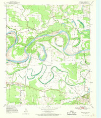
 1951 Mulberry1951 Print · USGSThe Arkansas River valley near Mulberry comes alive in this mid-century survey, showcasing a landscape of fertile bottomlands and river islands. Researchers can trace rural genealogy through Pleasant View School, Bethel Church, and the winding Court House Slough.2 unique versions available
 - 1951 Map of Camden
 1951 Camden1951 Print · USGSCamden and its industrial neighbors Cullendale and Fairview are captured here in the early 1950s as rail and river travel shaped south Arkansas. Researchers can trace local genealogy through Greenwood Cem or locate community hubs like Lincoln High Sch and the Bradley Ferry (Aband).2 unique versions available
 - 1951 Map of South Fort Smith
 1951 South Fort Smith1951 Print · USGSThe Arkansas-Oklahoma borderlands in the early fifties show a landscape of river-bend farming and industrial growth. Genealogists can trace family roots through several rural schools like Pocola School, old burial grounds at Oak Cemetery, and community landmarks like the White Bluff Church.2 unique versions available
 - 1951 Map of Winthrop
 1951 Winthrop1951 Print · USGSLittle River and Sevier County are captured here in the early fifties, where the railroad and river define local life. Trace family history at Alleene Cem or follow the Kansas City Southern line through Winthrop and Red Lake.2 unique versions available
 - 1951 Map of Lavaca
 1951 Lavaca1951 Print · USGSSebastian County is captured here in the early fifties as the Arkansas River landscape met the expanding footprint of the military. Genealogists and historians can trace family locations near Lavaca, Bloomer School, and Red Oak Cemetery.2 unique versions available
 - 1951 Map of Burnville
 1951 Burnville1951 Print · USGSSebastian and Logan counties appear in the early fifties as the military presence at Camp Chaffee met the rural life of Burnville. Genealogists can trace early homesteads and landmarks like Liberty Church, Milltown, and the Burnville School.2 unique versions available
 - 1951 Map of Barber
 1951 Barber1951 Print · USGSThe Arkansas Ozark foothills meet military history in the early fifties, where the Camp Chaffee Military Reservation borders rural communities. Genealogists can locate family landmarks like Spencer Cemetery, Mebane Cemetery, and the small settlement of Barber.2 unique versions available
Showing maps 1-25 of 212
Top cities of Arkansas
- Little Rock historical maps
- Fayetteville historical maps
- Fort Smith historical maps
- Springdale historical maps
- Jonesboro historical maps
- Rogers historical maps
See more
Top counties of Arkansas
- Pulaski County historical maps
- Benton County historical maps
- Washington County historical maps
- Sebastian County historical maps
- Faulkner County historical maps
- Saline County historical maps
See more
Frequently asked questions
- What are the different types of historical maps available for Arkansas?
- What is the oldest map of Arkansas?
- Where can I purchase historical maps of Arkansas for my home or office?
- Where can I download high-res historical maps of Arkansas?
- Are there historical topographic maps available for Arkansas?
- Is there historical aerial imagery available for Arkansas?
- Where are historical maps of Arkansas sourced from?