2000s (21st Century) Maps of Franklin County, Arkansas
Explore 105 historic maps of Franklin County from the 2000s (21st Century). These maps offer a rare glimpse into what life looked like during the 2000s — showing old roads, neighborhoods, homes, and landmarks that have changed or disappeared over time.
Whether you're researching your family's past, planning a metal detecting trip, or studying how Franklin County's landscape evolved across the 2000s, these high-resolution maps are a powerful tool for exploring the history of this region.
- Focus on a specific era: All maps on this page are from the 2000s, giving you a focused view of this time period.
- See what’s changed: Compare century-old streets, trails, and buildings to today's modern landscape using overlays and satellite layers.
- Research with precision: Use these maps for genealogy, historical research, land use analysis, or educational projects.
- View, download, or print: Maps are fully viewable online in high resolution, and can be downloaded or printed for your own records.
Start exploring Franklin County's history through authentic maps from the 2000s. This is your window into the past.
Franklin County, AR maps
(105)- 2011 Map of Charleston, 2011 Print
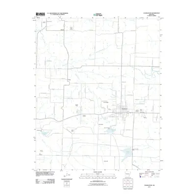 2011 Charleston2011 Print · USGSFranklin County's western reaches are captured here in the early twenty-first century, centered on the community of Charleston and the northern edge of Fort Chaffee. Local historians can trace family roots through numerous sites like Singleton Cemetery, Nixon Cemetery, and the settlement at Ursula.
 - 2011 Map of Barber, 2011 Print
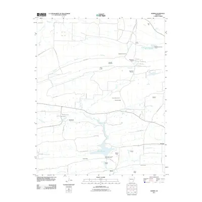 2011 Barber2011 Print · USGSLogan County during the early twenty-first century reveals a landscape of protected military lands and ridge-and-valley settlements. Genealogists can trace family names at Spencer Cemetery and Washburn Cemetery or explore the shores of Booneville Lake.
 - 2011 Map of Mulberry, 2011 Print
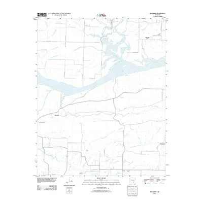 2011 Mulberry2011 Print · USGSCrawford County at the start of the 2010s shows a landscape shaped by its river systems and rural crossroads. Local researchers can trace family roots through numerous sites like Tate Cemetery, Riverdale, and the namesake Mulberry River valley.
 - 2011 Map of Caulksville, 2011 Print
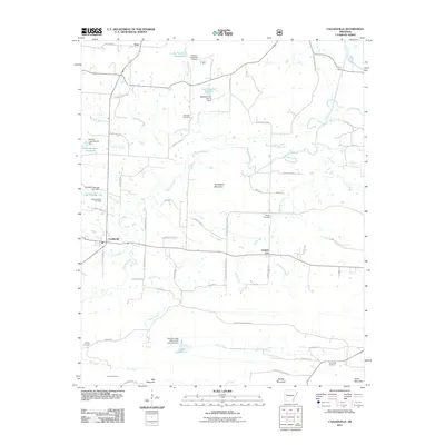 2011 Caulksville2011 Print · USGSLogan County, Arkansas, is captured here in the early twenty-first century, showcasing a landscape defined by small-town settlements and extensive watershed management. Researchers can locate numerous local burial sites including Saint Anthony Cemetery and Carpenter Cemetery alongside landmarks like Horseshoe Mountain.
 - 2011 Map of Delaney, 2011 Print
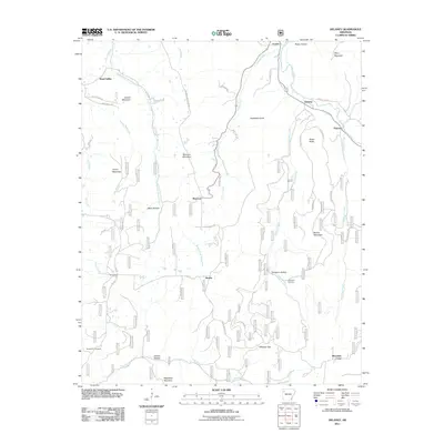 2011 Delaney2011 Print · USGSMadison County's highland river valleys are captured here in the early twenty-first century as they appeared before recent development. Researchers can trace family history through local landmarks like Temple Hill Cemetery and the settlements of Hazel Valley and Patrick.
 - 2011 Map of Pettigrew, 2011 Print
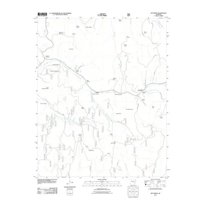 2011 Pettigrew2011 Print · USGSMadison County high country is documented here at the start of the 2010s, showing the remote communities and family lands of the Ozarks. Genealogists can trace family names through landmarks like Williams Cemetery, Kilgore Gap, and the Pettigrew Post Office.
 - 2011 Map of Watalula, 2011 Print
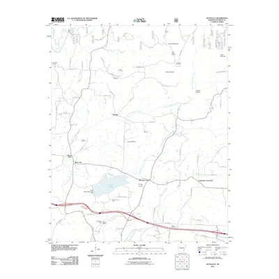 2011 Watalula2011 Print · USGSFranklin County at the start of the decade reveals a landscape of upland peaks and deep creek valleys defined by small-scale energy production and rural crossroads. Genealogists can locate numerous family-named burial grounds like McNelly Cemetery and Handchew Cemetery or trace the drainage of Cripple Branch.
 - 2011 Map of Booneville, 2011 Print
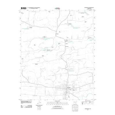 2011 Booneville2011 Print · USGSBooneville and the surrounding Logan County valleys are shown here in the early twenty-first century, just north of the Ouachita Mountains. You can trace the complex network of flood control dams on Sixmile Creek or locate local burial sites like Oak Hill Cemetery and Spring Hill Cemetery.
 - 2011 Map of Bidville, 2011 Print
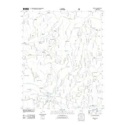 2011 Bidville2011 Print · USGSBidville and the surrounding Ozark ridges are shown here in the early twenty-first century, before many of these rural paths were modernized. Genealogists can locate family burial grounds at Bidville Cemetery and Brewer Cemetery, or trace old routes past Milton Ford and the Paradise Gas Field.
 - 2011 Map of Cecil, 2011 Print
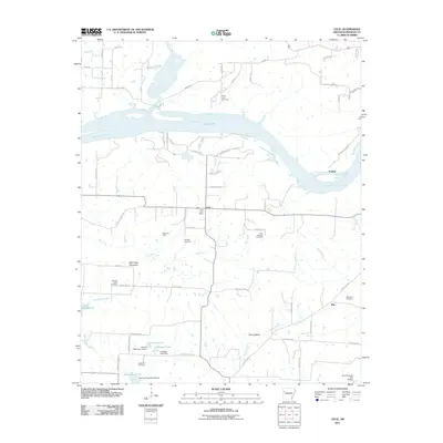 2011 Cecil2011 Print · USGSFranklin County at the start of the decade shows a landscape shaped by the Arkansas River and energy exploration. Genealogists can trace family names at Price Springs Cemetery, Bercham Cemetery, and the historic Cecil Post Office while exploring the rural roads near Meg.
 - 2011 Map of Cass, 2011 Print
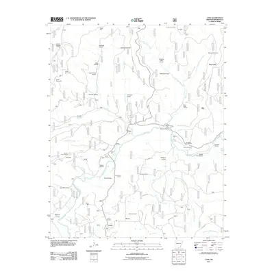 2011 Cass2011 Print · USGSFranklin County's highland terrain and the winding Mulberry River are documented here in the early twenty-first century. Researchers can locate remote family burial sites like Mcilroy Cemetery and Dick Hill Cemetery or trace the reach of the Fly Gap Lookout Tower.
 - 2011 Map of Branch, 2011 Print
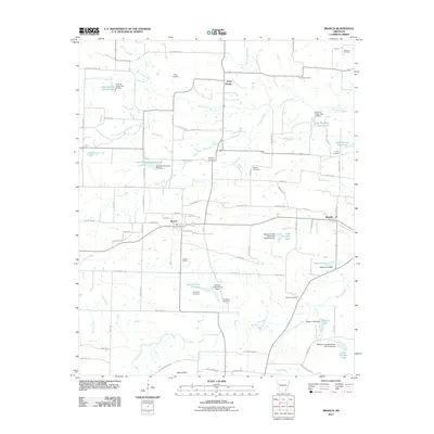 2011 Branch2011 Print · USGSThe rural communities of Branch and Ratcliff are shown here during the early 2000s, surrounded by a complex system of watershed reservoirs. Researchers can locate numerous family burial sites like Hunter Cemetery and Wilcox Cemetery among the many dams of the Sixmile Creek basin.
 - 2011 Map of Coal Hill, 2011 Print
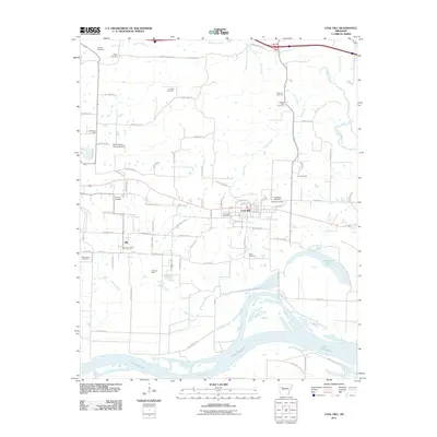 2011 Coal Hill2011 Print · USGSThe Arkansas River valley comes alive in this study of the communities surrounding Coal Hill and Alix during the early 2010s. Genealogists can locate numerous burial sites like Possum Walk Cemetery and Hess Cemetery while tracing the Alix Gas Field and local vineyard landmarks.
 - 2011 Map of Hunt, 2011 Print
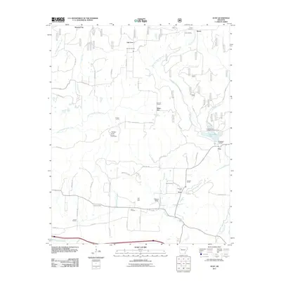 2011 Hunt2011 Print · USGSFranklin County at the start of the 2010s reveals a landscape of Ozark valleys shaped by resource extraction and rural community life. Genealogists and local historians can trace legacy sites like the Utah Strip Mine, the Hunt Post Office, and the Brendle Cemetery.
 - 2011 Map of Saint Paul, 2011 Print
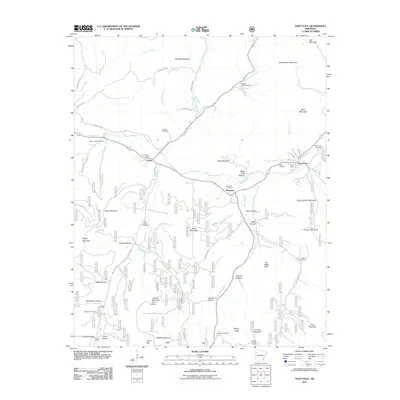 2011 Saint Paul2011 Print · USGSMadison County high country is documented here at the start of the 2010s, centered on the settlements of Saint Paul and Combs. Researchers can locate numerous upland burial sites including Riverside Cemetery and Mill Creek Cemetery, or trace the rugged geography of Joe Salee Bluff and Fly Gap Mountain.
 - 2011 Map of Yale, 2011 Print
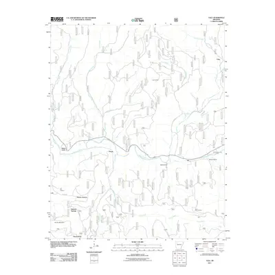 2011 Yale2011 Print · USGSFranklin County's river valleys and ridgelines are captured here in the early twenty-first century as the landscape balances forestry and recreation. Genealogists and local historians can locate remote burial grounds like Lone Pine Cemetery and small communities such as Peanut and Yale.
 - 2011 Map of Paris, 2011 Print
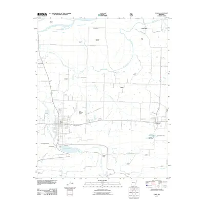 2011 Paris2011 Print · USGSLogan County at the start of the twenty-first century reveals a landscape of settled valleys and industrial gas fields. Researchers can trace family sites at Oakwood Cemetery or Saint Benedict Cemetery and locate rural landmarks like Cotton Town and Greasy Valley.
 - 2011 Map of Ozark, 2011 Print
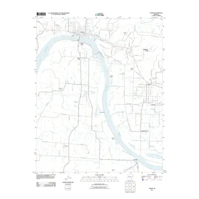 2011 Ozark2011 Print · USGSFranklin County's riverfront communities are captured here in the early twenty-first century as the Arkansas River winds past Ozark and Altus. Trace family roots at Highland Cemetery and Liberty Cemetery, or locate local landmarks like the Ozark Gas Field and Guthrie Island.
 - 2011 Map of Cravens, 2011 Print
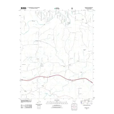 2011 Cravens2011 Print · USGSFranklin County's rural landscape is captured here in the early twenty-first century, showing a mix of traditional river life and modern energy extraction. Researchers can locate family burial grounds like Rankin Cemetery and trace historic crossings at Kings Ford or Ham Ford.
 - 2011 Map of Fern, 2011 Print
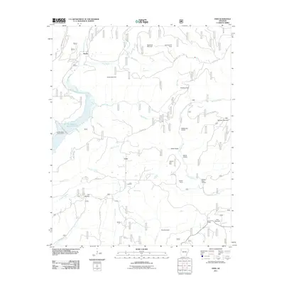 2011 Fern2011 Print · USGSThe rural uplands of Franklin County come to life in this recent topographic survey of the Arkansas Ozarks. Genealogists and local historians can trace family connections at Pense Cemetery or explore landmarks like Government Knob and The Narrows.
 - 2011 Map of Mountainburg SE, 2011 Print
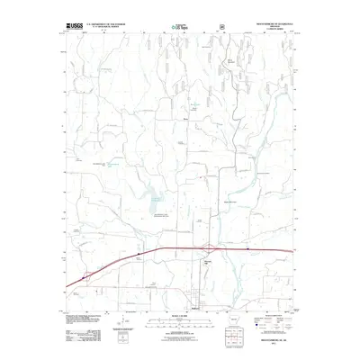 2011 Mountainburg SE2011 Print · USGSThe river valley near Mulberry is documented here during a period of modern growth and infrastructure development. Researchers can trace numerous family burial sites, including Quesenbury Cemetery, or locate historical river crossings like Queensbury Ford.
 - 2014 Map of Charleston, 2014 Print
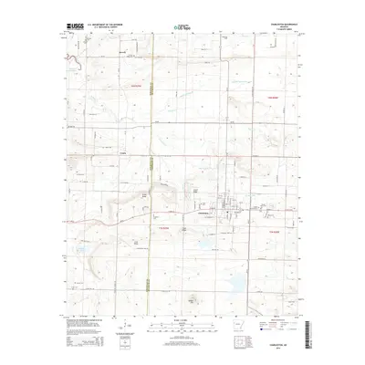 2014 Charleston2014 Print · USGSCharleston and the Sebastian-Franklin county line are shown here in the mid-2010s, revealing a landscape rich in family history and rural geography. Genealogists can trace numerous burial sites such as Sacred Heart Cem, Singleton Cem, and Hickory Ridge Cem across the countryside.
 - 2014 Map of Barber, 2014 Print
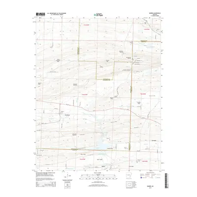 2014 Barber2014 Print · USGSNorthwest Arkansas in the mid-2010s reveals a landscape shaped by narrow mountain gaps and quiet rural outposts. Genealogists can locate several historic burial sites like Washburn Cem and Antioch Cem near the small communities of Washburn and Barber.
 - 2014 Map of Booneville, 2014 Print
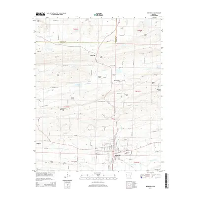 2014 Booneville2014 Print · USGSLogan County at the southern edge of the Ozarks is documented here as it appeared in the mid-2010s, centered on the community of Booneville. Researchers can trace local genealogy and land use through features like Lyles Chapel Cem, the Chismville Gas Field, and the valley corridor of Sixmile Cr.
 - 2014 Map of Bidville, 2014 Print
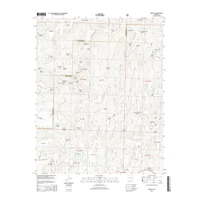 2014 Bidville2014 Print · USGSThe Ozark highlands along the Crawford and Franklin County border appear here in the early twenty-first century. Genealogists and local historians can locate remote family landmarks and burial sites like the Bidville Cem, Brewer Cem, and Phillips Cem.
Showing maps 1-25 of 105
Top cities of Franklin County
- Ozark historical maps
- Charleston historical maps
- Altus historical maps
- Branch historical maps
- Denning historical maps
- Wiederkehr Village historical maps
Frequently asked questions
- What are the different types of historical maps available for Franklin County?
- What is the oldest map of Franklin County?
- Where can I purchase historical maps of Franklin County for my home or office?
- Where can I download high-res historical maps of Franklin County?
- Are there historical topographic maps available for Franklin County?
- Is there historical aerial imagery available for Franklin County?
- Where are historical maps of Franklin County sourced from?