2000s (21st Century) Maps of Miller County, Arkansas
Explore 96 historic maps of Miller County from the 2000s (21st Century). These maps offer a rare glimpse into what life looked like during the 2000s — showing old roads, neighborhoods, homes, and landmarks that have changed or disappeared over time.
Whether you're researching your family's past, planning a metal detecting trip, or studying how Miller County's landscape evolved across the 2000s, these high-resolution maps are a powerful tool for exploring the history of this region.
- Focus on a specific era: All maps on this page are from the 2000s, giving you a focused view of this time period.
- See what’s changed: Compare century-old streets, trails, and buildings to today's modern landscape using overlays and satellite layers.
- Research with precision: Use these maps for genealogy, historical research, land use analysis, or educational projects.
- View, download, or print: Maps are fully viewable online in high resolution, and can be downloaded or printed for your own records.
Start exploring Miller County's history through authentic maps from the 2000s. This is your window into the past.
Miller County, AR maps
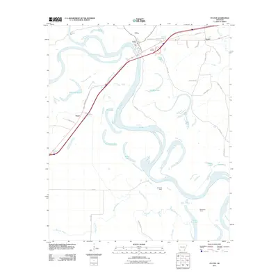
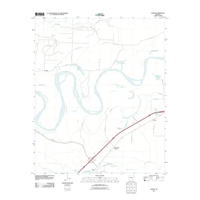
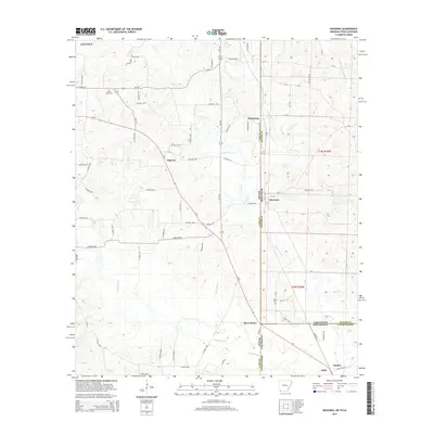
(96)- 2001 Map of Texarkana, 2004 Print
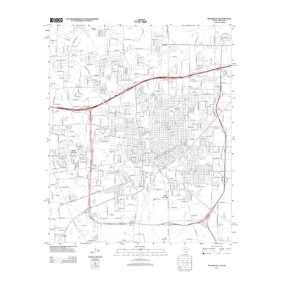
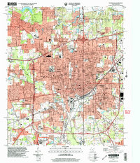 2001 Texarkana2004 Print · USGSTexarkana sits at a major crossroads of the South at the start of the new millennium, spanning the border between Texas and Arkansas. Researchers can trace the layout of civic landmarks and schools, from the Federal Correctional Institution to Texarkana Junior College and the Iron Mountain Tabernacle.
 - 2011 Map of Boyd Hill, 2011 Print
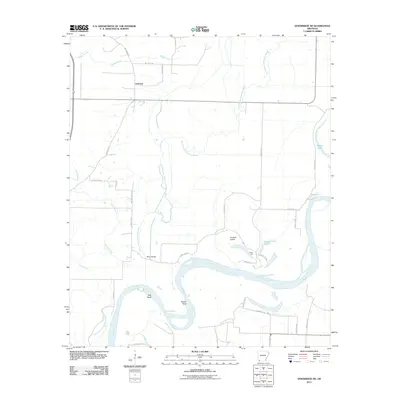
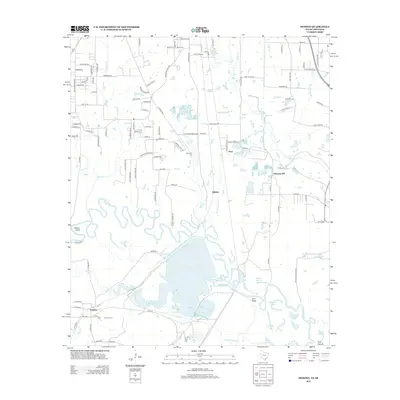
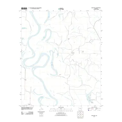 2011 Boyd Hill2011 Print · USGSCovers Miller County, including Beck, Boyd Hill, and other nearby areas
 - 2011 Map of Doddridge SE, 2011 Print
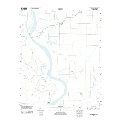 2011 Doddridge SE2011 Print · USGSCovers Miller County, including Canale, Missionary, and other nearby areas
 - 2011 Map of Garland, 2011 Print
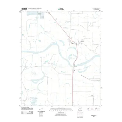
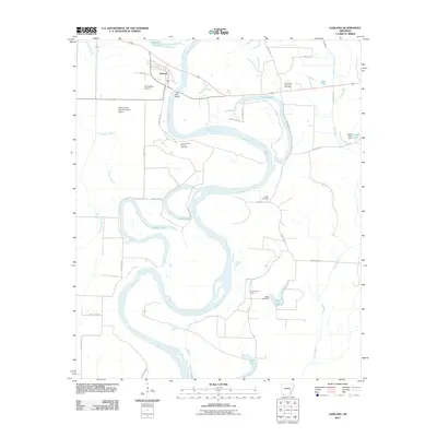 2011 Garland2011 Print · USGSCovers Miller County, including Garland, Lafayette County, and other nearby areas
 - 2011 Map of Fulton, 2011 Print
 2011 Fulton2011 Print · USGSCovers Miller County, including Fulton, Sprudel, and other nearby areas
 - 2011 Map of Fouke, 2011 Print
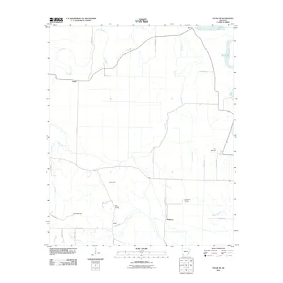
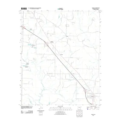 2011 Fouke2011 Print · USGSCovers Miller County, including Texarkana, Fouke, and other nearby areas
 - 2011 Map of Bloomburg, 2011 Print
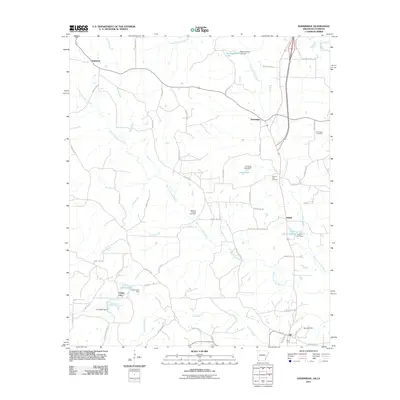
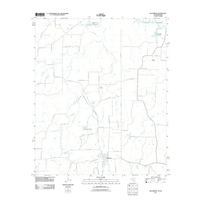 2011 Bloomburg2011 Print · USGSCovers Miller County, including Atlanta, Bloomburg, and other nearby areas
 - 2011 Map of Ogden, 2011 Print
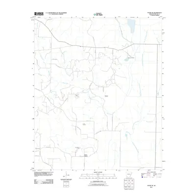
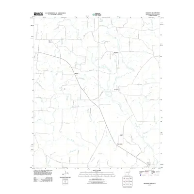
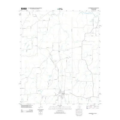
 2011 Ogden2011 Print · USGSCovers Miller County, including Texarkana, Texarkana, and other nearby areas
 - 2011 Map of Doddridge NE, 2011 Print
 2011 Doddridge NE2011 Print · USGSCovers Miller County, including Fairland, Lafayette County, and other nearby areas
 - 2011 Map of Canfield, 2011 Print
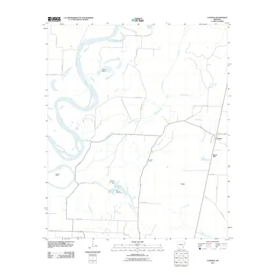 2011 Canfield2011 Print · USGSCovers Miller County, including Burton Mill, Canfield, and other nearby areas
 - 2011 Map of Fouke NE, 2011 Print
 2011 Fouke NE2011 Print · USGSCovers Miller County, including Dooley, Artex, and other nearby areas
 - 2011 Map of Mandeville, 2011 Print
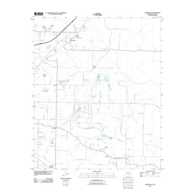 2011 Mandeville2011 Print · USGSCovers Miller County, including Texarkana, Mount Pleasant, and other nearby areas
 - 2011 Map of Fouke SE, 2011 Print
 2011 Fouke SE2011 Print · USGSCovers Miller County, including Fouke, Rocky Mound, and other nearby areas
 - 2011 Map of Doddridge, 2011 Print
 2011 Doddridge2011 Print · USGSCovers Miller County, including Ida, Capps City, and other nearby areas
 - 2011 Map of Spring Hill, 2011 Print
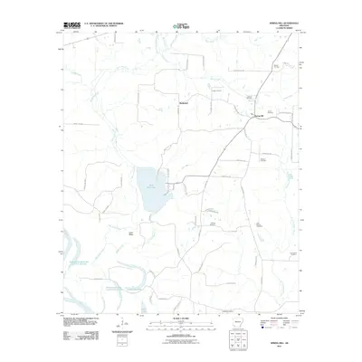 2011 Spring Hill2011 Print · USGSCovers Miller County, including Battlefield, Spring Hill, and other nearby areas
 - 2011 Map of Domino, 2011 Print
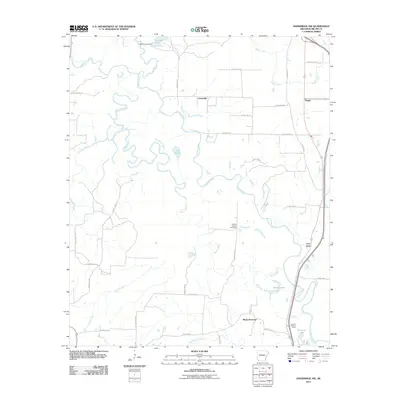
 2011 Domino2011 Print · USGSCovers Miller County, including Texarkana, Domino, and other nearby areas
 - 2011 Map of Homan, 2011 Print
 2011 Homan2011 Print · USGSCovers Miller County, including Texarkana, Paup, and other nearby areas
 - 2011 Map of Ravanna, 2011 Print
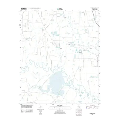
 2011 Ravanna2011 Print · USGSCovers Miller County, including Atlanta, Zylks, and other nearby areas
 - 2011 Map of Doddridge NW, 2011 Print
 2011 Doddridge NW2011 Print · USGSCovers Miller County, including Black Diamond, Fort Lynn, and other nearby areas
 - 2011 Map of Texarkana, 2011 Print
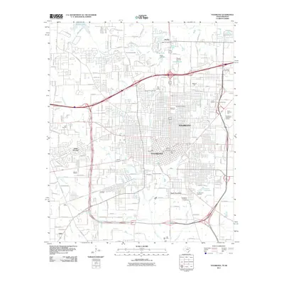 2011 Texarkana2011 Print · USGSCovers Miller County, including Texarkana, Texarkana, and other nearby areas
 - 2013 Map of Domino, 2013 Print
 2013 Domino2013 Print · USGSCovers Miller County, including Texarkana, Domino, and other nearby areas
 - 2013 Map of Bloomburg, 2013 Print
 2013 Bloomburg2013 Print · USGSCovers Miller County, including Atlanta, Bloomburg, and other nearby areas
 - 2013 Map of Texarkana, 2013 Print
 2013 Texarkana2013 Print · USGSCovers Miller County, including Texarkana, Texarkana, and other nearby areas
 - 2014 Map of Ogden, 2014 Print
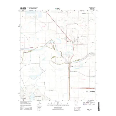 2014 Ogden2014 Print · USGSCovers Miller County, including Texarkana, Texarkana, and other nearby areas
 - 2014 Map of Ravanna, 2014 Print
 2014 Ravanna2014 Print · USGSCovers Miller County, including Atlanta, Zylks, and other nearby areas
Showing maps 1-25 of 96
Top cities of Miller County
Frequently asked questions
- What are the different types of historical maps available for Miller County?
- What is the oldest map of Miller County?
- Where can I purchase historical maps of Miller County for my home or office?
- Where can I download high-res historical maps of Miller County?
- Are there historical topographic maps available for Miller County?
- Is there historical aerial imagery available for Miller County?
- Where are historical maps of Miller County sourced from?