2010s Maps of Miller County, Arkansas
Explore 60 historic maps of Miller County from the 2010s. These maps offer a rare glimpse into what life looked like during the 2010s — showing old roads, neighborhoods, homes, and landmarks that have changed or disappeared over time.
Whether you're researching your family's past, planning a metal detecting trip, or studying how Miller County's landscape evolved across the 2010s, these high-resolution maps are a powerful tool for exploring the history of this region.
- Focus on a specific era: All maps on this page are from the 2010s, giving you a focused view of this time period.
- See what’s changed: Compare century-old streets, trails, and buildings to today's modern landscape using overlays and satellite layers.
- Research with precision: Use these maps for genealogy, historical research, land use analysis, or educational projects.
- View, download, or print: Maps are fully viewable online in high resolution, and can be downloaded or printed for your own records.
Start exploring Miller County's history through authentic maps from the 2010s. This is your window into the past.
Miller County, AR maps
(60)- 2011 Map of Boyd Hill, 2011 Print
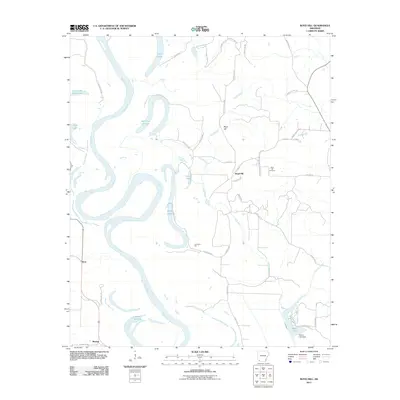 2011 Boyd Hill2011 Print · USGSMiller County at the dawn of the 2010s reveals a landscape shaped by the shifting Red River. Researchers can trace old family sites and local history through the Boyd Hill Cemetery, the Dooley Ferry Crossing, and oxbows like 1927 Cut off Lake.
 - 2011 Map of Doddridge SE, 2011 Print
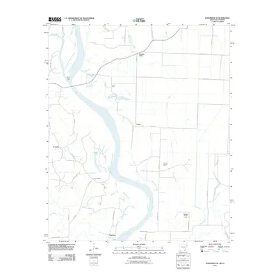 2011 Doddridge SE2011 Print · USGSThe Red River floodplain at the Arkansas-Louisiana border reveals a landscape defined by its waterways and historic crossings. Researchers can trace the river's legacy through family landmarks like Blanton Cemetery and river transit points including Spring Bank Ferry and Missionary Ferry.
 - 2011 Map of Garland, 2011 Print
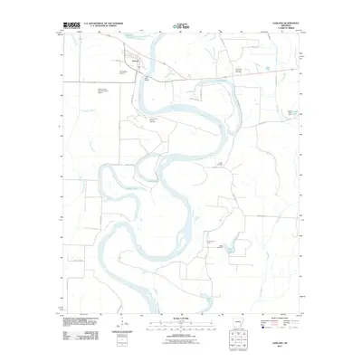 2011 Garland2011 Print · USGSThe Red River floodplain in Miller County is shown here in the early twenty-first century, marked by winding oxbows and rural industry. Researchers can locate family landmarks like Wright Cemetery, trace the grounds of Cedar Grove School, or study the Spirit Lake Oil and Gas Field.
 - 2011 Map of Fulton, 2011 Print
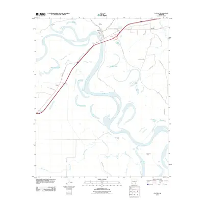 2011 Fulton2011 Print · USGSHempstead County at the start of the 2010s reveals a river-driven landscape where the shifting Red River has left a legacy of oxbow lakes and historic crossings. Genealogists and local historians can locate Fulton Cemetery, trace the old route of Old 67 Hwy, and identify landmarks like Old Allens Ferry.
 - 2011 Map of Fouke, 2011 Print
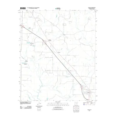 2011 Fouke2011 Print · USGSMiller County at the start of the 2010s reveals a landscape of rural junctions and managed waterways north of the Louisiana border. Genealogists and researchers can trace the roads connecting Fouke, Ferguson Crossroads, and the historic Gibson Cemetery.
 - 2011 Map of Bloomburg, 2011 Print
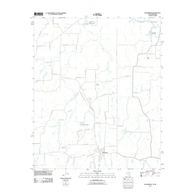 2011 Bloomburg2011 Print · USGSNortheast Texas at the start of the 2010s was a landscape of managed waterways and quiet rural crossroads near the Arkansas line. Researchers can trace local lineage at Walters Cemetery or explore the water-frontage history of Smith Lake and Porterfield Lake.
 - 2011 Map of Ogden, 2011 Print
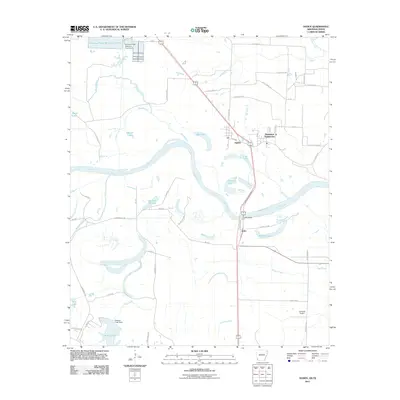 2011 Ogden2011 Print · USGSThe Red River floodplain along the Arkansas-Texas border comes to life in this early twenty-first-century survey. Genealogists and local historians can trace the roads around Ogden, locate the Flying W Airport, or study the river crossings at Index Bridge.
 - 2011 Map of Doddridge NE, 2011 Print
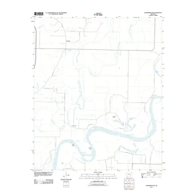 2011 Doddridge NE2011 Print · USGSThe Miller County floodplains in the early twenty-first century reveal a landscape deeply shaped by the shifting course of the Red River. Researchers can trace the legacy of rural transport and agriculture through local landmarks like Beloh Bridge, the Valley Gin, and the settlement of Fairland.
 - 2011 Map of Canfield, 2011 Print
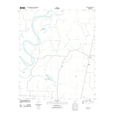 2011 Canfield2011 Print · USGSLafayette County's river-bottom lands are captured here in the early twenty-first century as the Red River snakes past Dillard Bend. Researchers can trace the rural infrastructure around Canfield, locating landmarks like Union Hill Cemetery and the Burton Mill site.
 - 2011 Map of Fouke NE, 2011 Print
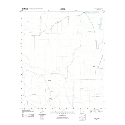 2011 Fouke NE2011 Print · USGSMiller County at the start of the 2010s reveals a rural landscape defined by ancient river channels and energy production. Researchers can trace local lineage at Rock Springs Cemetery or locate old community hubs like Dooley and Artex near the Garland City Oil and Gas Field.
 - 2011 Map of Mandeville, 2011 Print
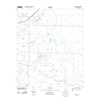 2011 Mandeville2011 Print · USGSMiller County northeast of Texarkana is shown here in the early 2010s, featuring rural communities and an intricate network of bayous. Researchers can locate historic burial grounds like Cleveland Cemetery or trace the lands around Genoa and the Genoa Post Office.
 - 2011 Map of Fouke SE, 2011 Print
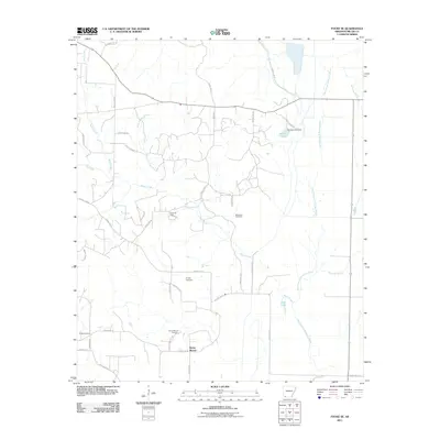 2011 Fouke SE2011 Print · USGSSoutheast of Fouke in the early 2000s, this Miller County landscape is shaped by the petroleum industry and the winding Old Channel McKinney Bayou. Genealogists can locate family landmarks like McKenzie Cemetery and the Rocky Mound Cemetery near the historic Rocky Mound settlement.
 - 2011 Map of Doddridge, 2011 Print
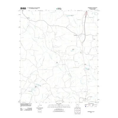 2011 Doddridge2011 Print · USGSThe Arkansas-Louisiana borderlands come into focus in this recent survey, showcasing the rural landscape at the edge of the Caddo Parish line. Researchers can trace the Rodessa Oil and Gas Field and locate family sites like New Hope Cemetery or the community of Brightstar.
 - 2011 Map of Spring Hill, 2011 Print
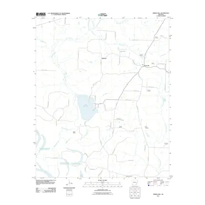 2011 Spring Hill2011 Print · USGSHempstead County’s rural landscape is mapped here in the early twenty-first century, showing the intersection of local history and river geography. Genealogists can locate family landmarks such as Sullivan Cemetery and Phillips Cemetery or the historic site of Battlefield.
 - 2011 Map of Domino, 2011 Print
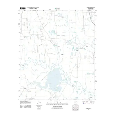 2011 Domino2011 Print · USGSThe river bottomlands near Texarkana come into focus in the early 21st century, showing a landscape defined by the shifting waters of the Sulphur River. Genealogists and local historians can trace the communities of Domino and Hoot, as well as the Buchanan Cemetery.
 - 2011 Map of Homan, 2011 Print
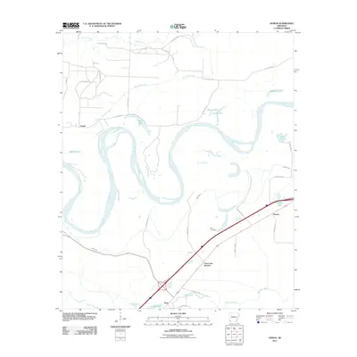 2011 Homan2011 Print · USGSThe Red River floodplain in Miller County is captured here in the early twenty-first century, showing a landscape defined by oxbow lakes and rural settlements. Genealogists and researchers can locate Paup Cemetery and trace early connections at Paup, Temple, and Homan.
 - 2011 Map of Ravanna, 2011 Print
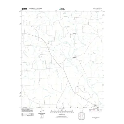 2011 Ravanna2011 Print · USGSThe tri-state junction of Arkansas, Texas, and Louisiana comes into focus during the early twenty-first century. Researchers can trace rural family roots through Beech Creek Cemetery, the crossroads at Three States, and the winding banks of Black Bayou.
 - 2011 Map of Doddridge NW, 2011 Print
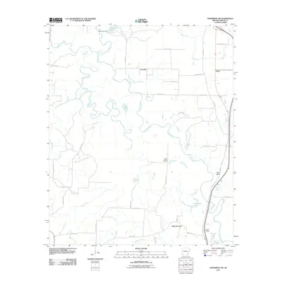 2011 Doddridge NW2011 Print · USGSMiller County at the start of the 2010s shows a landscape of river bottoms and rural outposts. Genealogists and local historians can trace family locations near Jonesville, the Millett Oil and Gas Field, and the Sulphur River Lookout Tower.
 - 2011 Map of Texarkana, 2011 Print
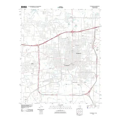 2011 Texarkana2011 Print · USGSTexarkana and its borderland suburbs appear here in a state of modern growth during the early twenty-first century. Researchers can trace the layout of local landmarks like the Texarkana Post Office, Four States Fair Grounds, and historic grounds of Rose Hill Cemetery.
 - 2013 Map of Domino, 2013 Print
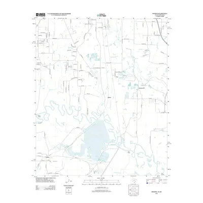 2013 Domino2013 Print · USGSThe Texas-Arkansas borderlands come alive in this detailed survey of the Sulphur River floodplain. Local historians can trace family land via Domino Cem and Buchanan Cem, or explore the complex waterways of Baker Slough and Gifford Hill Lake.
 - 2013 Map of Bloomburg, 2013 Print
 2013 Bloomburg2013 Print · USGSThe Texas-Arkansas borderlands are captured here in the early twenty-first century, showing the rural landscape surrounding the town of Bloomburg. Genealogists and local historians can trace the paths of State Line Rd and locate sites like Walters Cem and the settlement of Cass.
 - 2013 Map of Texarkana, 2013 Print
 2013 Texarkana2013 Print · USGSTexarkana's cross-border sprawl is captured here in the early twenty-first century, showing a thriving regional hub of education and industry. Researchers can find numerous family landmarks, from State Line Cem to Shilling's Airport and Wake Village.
 - 2014 Map of Ogden, 2014 Print
 2014 Ogden2014 Print · USGSThe Arkansas-Texas borderlands come into focus in this early twenty-first-century survey of the Red River valley. Genealogists and local historians can trace the rural communities of Ogden and Index, or locate family landmarks near Summer Hill Lake and Wamba.
 - 2014 Map of Ravanna, 2014 Print
 2014 Ravanna2014 Print · USGSWhere Texas, Arkansas, and Louisiana meet, this survey captures the rural landscape at the tri-state boundary in the early 21st century. Researchers can locate crossroads communities like Three States and Ravanna or trace family roots at the Beech Creek Cem.
 - 2014 Map of Doddridge NW, 2014 Print
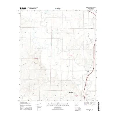 2014 Doddridge NW2014 Print · USGSMiller County’s river-bottom landscape is captured here in the early twenty-first century, showing a rural region defined by the winding Sulphur River. Genealogists and local historians can trace the small communities of Fort Lynn, Jonesville, and Black Diamond alongside the Millett Oil and Gas Field.
Showing maps 1-25 of 60
Top cities of Miller County
Frequently asked questions
- What are the different types of historical maps available for Miller County?
- What is the oldest map of Miller County?
- Where can I purchase historical maps of Miller County for my home or office?
- Where can I download high-res historical maps of Miller County?
- Are there historical topographic maps available for Miller County?
- Is there historical aerial imagery available for Miller County?
- Where are historical maps of Miller County sourced from?