2000s (21st Century) Maps of Alpine County, California
Explore 110 historic maps of Alpine County from the 2000s (21st Century). These maps offer a rare glimpse into what life looked like during the 2000s — showing old roads, neighborhoods, homes, and landmarks that have changed or disappeared over time.
Whether you're researching your family's past, planning a metal detecting trip, or studying how Alpine County's landscape evolved across the 2000s, these high-resolution maps are a powerful tool for exploring the history of this region.
- Focus on a specific era: All maps on this page are from the 2000s, giving you a focused view of this time period.
- See what’s changed: Compare century-old streets, trails, and buildings to today's modern landscape using overlays and satellite layers.
- Research with precision: Use these maps for genealogy, historical research, land use analysis, or educational projects.
- View, download, or print: Maps are fully viewable online in high resolution, and can be downloaded or printed for your own records.
Start exploring Alpine County's history through authentic maps from the 2000s. This is your window into the past.
Alpine County, CA maps
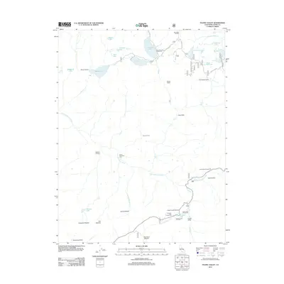
(110)- 2001 Map of Dardanelle, 2004 Print
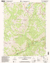
 2001 Dardanelle2004 Print · USGSTuolumne County high country is shown here in the early 2000s, where the river-cut valleys host seasonal resorts and remote forest camps. Trace the historical footprint of mountain life at Baker Station, Martins Cow Camp, and Douglas Resort.
 - 2001 Map of Spicer Meadow Reservoir, 2004 Print
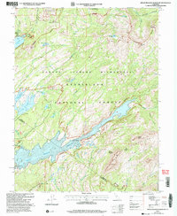 2001 Spicer Meadow Reservoir2004 Print · USGSHigh Sierra water management and wilderness recreation define this Alpine County region at the start of the new millennium. Hikers and historians can trace the Pacific Crest Trail as it winds past Spicer Meadow Reservoir and Lake Alpine.
 - 2001 Map of Donnell Lake, 2004 Print
 2001 Donnell Lake2004 Print · USGSTuolumne County's high Sierra backcountry is shown here at the start of the millennium, centered on the Middle Fork Stanislaus River. Researchers can trace remote mountain geography including Donnell Lake, the Niagara Rim 4WD Trail, and prominent peaks like Dardanelles Cone.
 - 2001 Map of Disaster Peak, 2004 Print
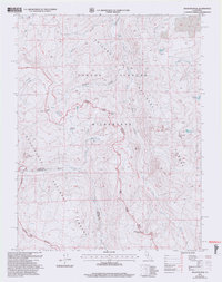 2001 Disaster Peak2004 Print · USGSHigh Sierra summits and alpine meadows mark this wilderness area at the turn of the millennium. Hikers and historians can trace the high-altitude Pacific Crest National Scenic Trail as it passes near Disaster Peak and Iceberg Meadow.2 unique versions available
 - 2001 Map of Dardanelles Cone, 2004 Print
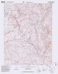
 2001 Dardanelles Cone2004 Print · USGSThe high Sierra Nevada backcountry of Alpine and Tuolumne counties is captured here at the turn of the century. Trace the high-altitude route of the Pacific Crest National Scenic Trail past peaks like Dardanelles Cone and the Highland Lakes.
 - 2001 Map of Ebbetts Pass, 2004 Print
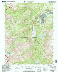
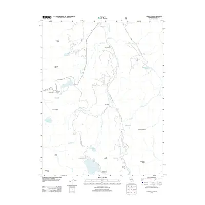
 2001 Ebbetts Pass2004 Print · USGSAlpine County high country is shown here at the start of the millennium, dominated by the Sierra Nevada peaks and historical silver mining districts. Genealogists and historians can trace old mining claims like the Lady Washington Mine and the Silver Mountain (Site) near Kinney Reservoir.2 unique versions available
 - 2001 Map of Pickel Meadow, 2004 Print
 2001 Pickel Meadow2004 Print · USGSHigh in the Eastern Sierra during the early 2000s, this area remains a vital intersection of military training and wilderness recreation. Trace the route of the Pacific Crest National Scenic Trail past Leavitt Lake and the USMC Mountain Warfare Sch.
 - 2001 Map of Tamarack, 2004 Print
 2001 Tamarack2004 Print · USGSHigh Sierra recreation and pioneer history meet in this early 2000s survey of the Stanislaus National Forest. Genealogists and historians can trace the Emigrant Trail and the Bloods Toll Sta Hist Site alongside developments like Sherman Acres.2 unique versions available
 - 2001 Map of Pacific Valley, 2004 Print
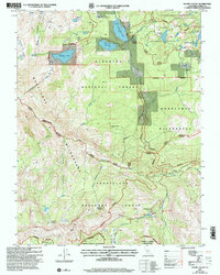 2001 Pacific Valley2004 Print · USGSHigh-altitude forest lands and wilderness preserves define this Alpine County landscape at the turn of the century. Trace the remote Ranger Trail or locate the Stevenot Camp (Site) and Historical Monument along the North Fork Mokelumne River.
 - 2001 Map of Sonora Pass, 2004 Print
 2001 Sonora Pass2004 Print · USGSHigh Sierra wilderness and the crest of the mountains are captured here at the turn of the millennium. Outdoor historians and hikers can trace the Pacific Crest National Scenic Trail as it passes Sonora Peak and Kennedy Meadow.
 - 2012 Map of Carters Station, 2012 Print
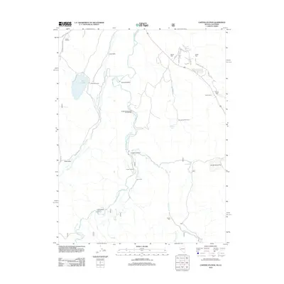 2012 Carters Station2012 Print · USGSCovers Alpine County, including Carter Springs, Douglas County, and other nearby areas
 - 2012 Map of Minden, 2012 Print
 2012 Minden2012 Print · USGSCovers Alpine County, including Minden, Mottsville, and other nearby areas
 - 2012 Map of Topaz Lake, 2012 Print
 2012 Topaz Lake2012 Print · USGSCovers Alpine County, including Topaz Ranch Estates, Topaz Lake, and other nearby areas
 - 2012 Map of Lost Cannon Peak, 2012 Print
 2012 Lost Cannon Peak2012 Print · USGSCovers Alpine County, including Mono County, United States, and other nearby areas
 - 2012 Map of Disaster Peak, 2012 Print
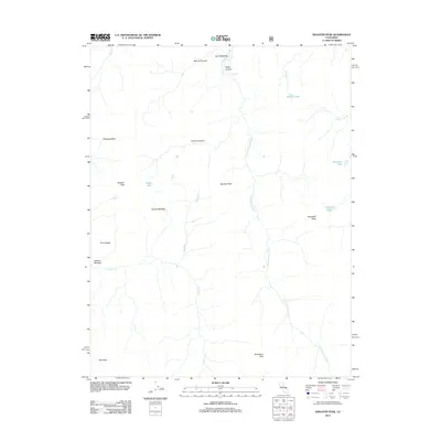 2012 Disaster Peak2012 Print · USGSCovers Alpine County, including Tuolumne County, United States, and other nearby areas
 - 2012 Map of Markleeville, 2012 Print
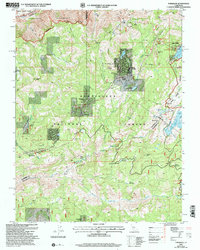
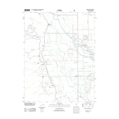
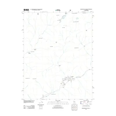
 2012 Markleeville2012 Print · USGSCovers Alpine County, including Markleeville, Markleeville, and other nearby areas
 - 2012 Map of Dardanelles Cone, 2012 Print
 2012 Dardanelles Cone2012 Print · USGSCovers Alpine County, including Peaceful Pines, Tuolumne County, and other nearby areas
 - 2012 Map of Dardanelle, 2012 Print
 2012 Dardanelle2012 Print · USGSCovers Alpine County, including Dardanelle, Tuolumne County, and other nearby areas
 - 2012 Map of Wolf Creek, 2012 Print
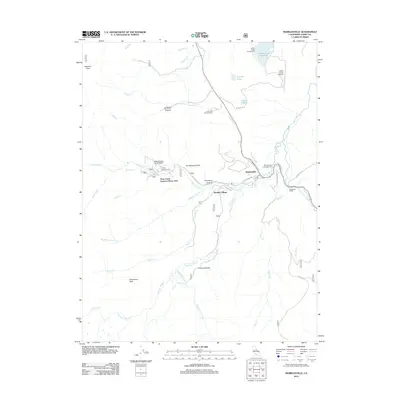
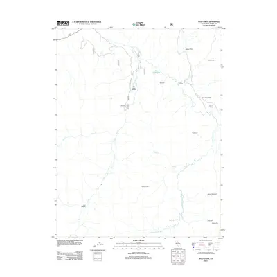 2012 Wolf Creek2012 Print · USGSCovers Alpine County, including United States, California, and other nearby areas
 - 2012 Map of Sonora Pass, 2012 Print
 2012 Sonora Pass2012 Print · USGSCovers Alpine County, including Tuolumne County, Mono County, and other nearby areas
 - 2012 Map of Coleville, 2012 Print
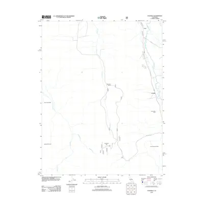 2012 Coleville2012 Print · USGSCovers Alpine County, including Coleville, Topaz, and other nearby areas
 - 2012 Map of Ebbetts Pass, 2012 Print
 2012 Ebbetts Pass2012 Print · USGSCovers Alpine County, including United States, California, and other nearby areas
 - 2012 Map of Donnell Lake, 2012 Print
 2012 Donnell Lake2012 Print · USGSCovers Alpine County, including Wagner, Tuolumne County, and other nearby areas
 - 2012 Map of Pacific Valley, 2012 Print
 2012 Pacific Valley2012 Print · USGSCovers Alpine County, including United States, California, and other nearby areas
 - 2012 Map of Carson Pass, 2012 Print
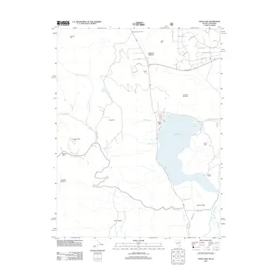
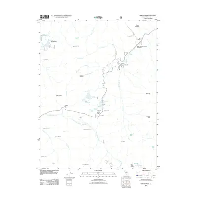
 2012 Carson Pass2012 Print · USGSCovers Alpine County, including Markleeville, United States, and other nearby areas
Showing maps 1-25 of 110
Top cities of Alpine County
- Alpine Village historical maps
- Mesa Vista historical maps
- Markleeville historical maps
- Bear Valley historical maps
Frequently asked questions
- What are the different types of historical maps available for Alpine County?
- What is the oldest map of Alpine County?
- Where can I purchase historical maps of Alpine County for my home or office?
- Where can I download high-res historical maps of Alpine County?
- Are there historical topographic maps available for Alpine County?
- Is there historical aerial imagery available for Alpine County?
- Where are historical maps of Alpine County sourced from?