2020s Maps of Alpine County, California
Explore 25 historic maps of Alpine County from the 2020s. These maps offer a rare glimpse into what life looked like during the 2020s — showing old roads, neighborhoods, homes, and landmarks that have changed or disappeared over time.
Whether you're researching your family's past, planning a metal detecting trip, or studying how Alpine County's landscape evolved across the 2020s, these high-resolution maps are a powerful tool for exploring the history of this region.
- Focus on a specific era: All maps on this page are from the 2020s, giving you a focused view of this time period.
- See what’s changed: Compare century-old streets, trails, and buildings to today's modern landscape using overlays and satellite layers.
- Research with precision: Use these maps for genealogy, historical research, land use analysis, or educational projects.
- View, download, or print: Maps are fully viewable online in high resolution, and can be downloaded or printed for your own records.
Start exploring Alpine County's history through authentic maps from the 2020s. This is your window into the past.
Alpine County, CA maps
(25)- 2021 Map of Carters Station, 2021 Print
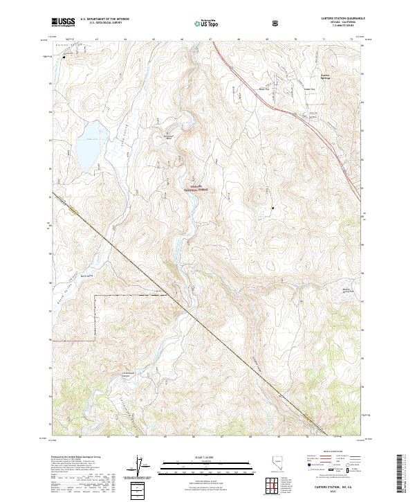 2021 Carters Station2021 Print · USGSDouglas County's eastern slopes come alive in this recent survey, showing the transition from the Carson Valley floor to the high forest. Researchers can locate the Washoe Cem and trace seasonal water sources like Hot Springs or the Falke and Tillman Ditch.
 - 2021 Map of Topaz Lake, 2021 Print
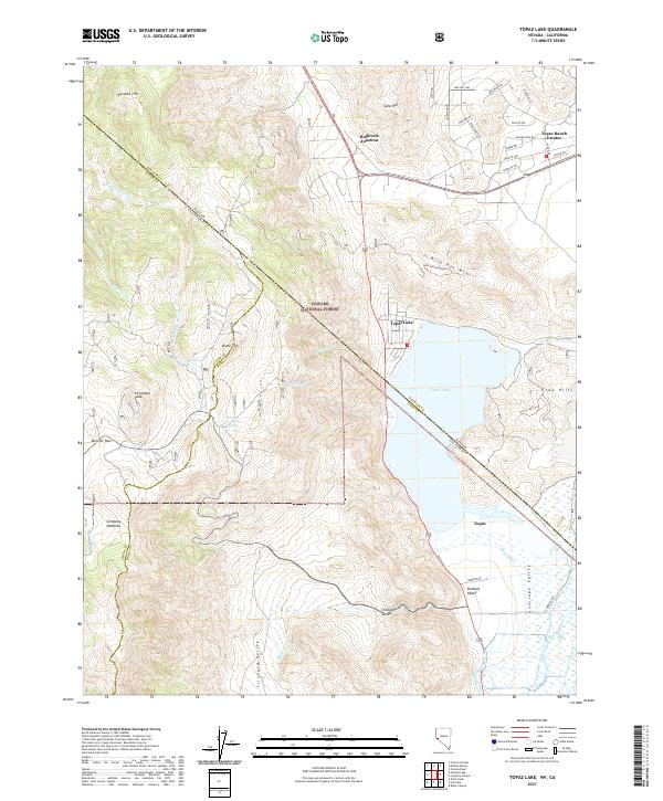 2021 Topaz Lake2021 Print · USGSThe high desert and alpine borderlands of the Nevada-California line come into focus in this recent survey. Local historians can trace the water systems of Topaz Lake and irrigation features like Swager Ditch alongside peaks such as Leviathan Peak.
 - 2021 Map of Minden, 2021 Print
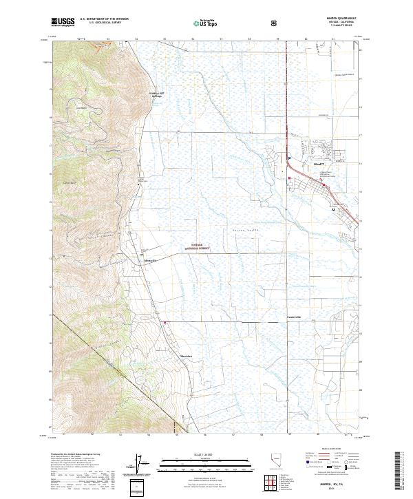 2021 Minden2021 Print · USGSThe Carson Valley is shown in great detail during the early 2020s, where high sierra peaks meet a vast network of irrigation ditches and sloughs. Genealogists and local historians can locate early burial sites like the Captain George Donner Cem and old settlements at Sheridan and Walleys Hot Springs.
 - 2021 Map of Ebbetts Pass, 2021 Print
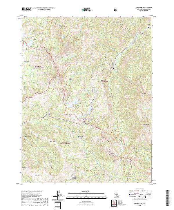 2021 Ebbetts Pass2021 Print · USGSThe high Sierra Nevada crest at the start of the 2020s shows the convergence of three national forests around the iconic Ebbetts Pass. Hikers and historians can trace the Pacific Crest National Scenic Trl past landmarks like Raymond Peak and the Silver Mountain Cem.
 - 2021 Map of Disaster Peak, 2021 Print
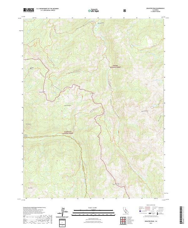 2021 Disaster Peak2021 Print · USGSHigh Sierra wilderness at the junction of Alpine and Tuolumne Counties is preserved here during the early twenty-first century. Hikers and cartographers can trace the Pacific Crest National Scenic Trl as it winds past Disaster Peak and Poison Lake.
 - 2021 Map of Pacific Valley, 2021 Print
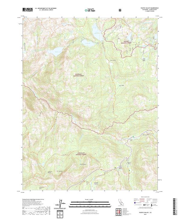 2021 Pacific Valley2021 Print · USGSAlpine County’s high Sierra wilderness is captured here in the early twenty-first century at the intersection of three national forests. Trekkers and historians can trace the Pacific Crest National Scenic Trl and the historic Emigrant Trl through Hermit Valley and past Pacific Grade Summit.
 - 2021 Map of Dardanelles Cone, 2021 Print
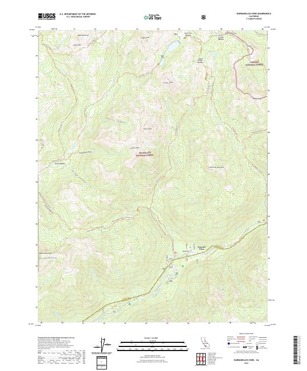 2021 Dardanelles Cone2021 Print · USGSThe high Sierra peaks and forest boundaries of Alpine and Tuolumne counties are shown here as they appeared in the early 2020s. Hikers and researchers can trace the Pacific Crest National Scenic Trl past Wolf Creek Pass and identify landmarks like Dardanelles Cone.
 - 2021 Map of Heenan Lake, 2021 Print
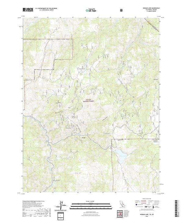 2021 Heenan Lake2021 Print · USGSHigh in the Sierra Nevada during the 2020s, this area shows a landscape of mountain flats and remote canyon watercourses. Researchers can locate specific sites like the settlement at Loope or explore high-country landmarks including Mogul Peak and Heenan Lake.
 - 2021 Map of Wolf Creek, 2021 Print
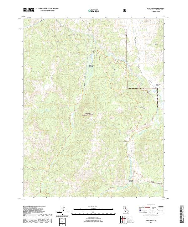 2021 Wolf Creek2021 Print · USGSAlpine County’s high Sierra backcountry is shown here in the early twenty-first century as a network of meadows and river canyons. Modern researchers can trace historic footpaths like Grays Crossing Trl and identify specific landmarks such as Soda Cone or Dumonts Meadows.
 - 2021 Map of Lost Cannon Peak, 2021 Print
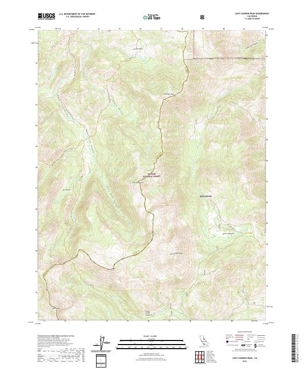 2021 Lost Cannon Peak2021 Print · USGSHigh Sierra ridgelines and remote alpine meadows define this portion of the Toiyabe National Forest in the 2020s. Researchers can trace historic backcountry routes like the Silver King Trl to landmarks such as Llewellyn Falls and Chango Lake.
 - 2021 Map of Dardanelle, 2021 Print
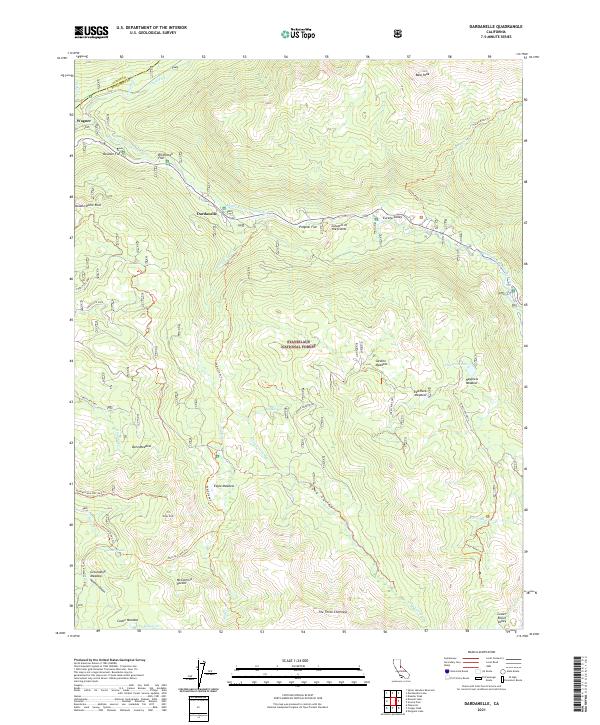 2021 Dardanelle2021 Print · USGSThe High Sierra wilderness near the Tuolumne and Alpine county line is captured here in the early twenty-first century. Researchers can trace forest routes to remote landmarks like the Columns of the Giants, Eagle Meadow, and Haypress Lake.
 - 2021 Map of Pickel Meadow, 2021 Print
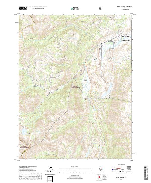 2021 Pickel Meadow2021 Print · USGSThe High Sierra backcountry of Mono County is documented here during the early 2020s, showing a landscape defined by glacial lakes and alpine meadows. Trace the path of the Pacific Crest National Scenic Trl past Leavitt Lake and the waters of Pickel Meadow.
 - 2021 Map of Coleville, 2021 Print
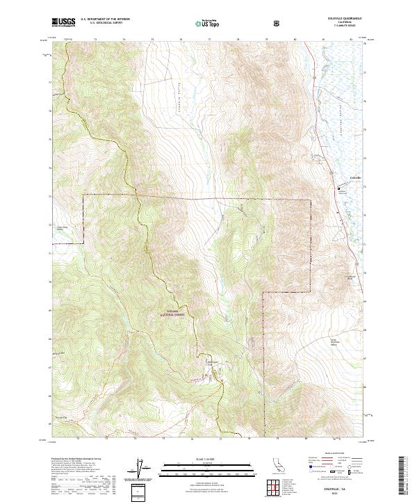 2021 Coleville2021 Print · USGSColeville and the surrounding Antelope Valley are documented here during the early 2020s, showing the complex intersection of high-desert ranching and national forest lands. Genealogists and historians can trace local family roots at the Antelope Valley Cem or locate remote high-country sites like Rodriguez Flat and Poison Flat.
 - 2021 Map of Woodfords, 2021 Print
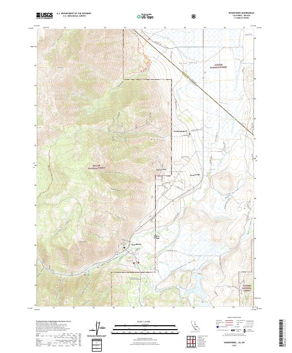 2021 Woodfords2021 Print · USGSThe eastern Sierra foothills and Carson Valley come alive in this survey. Genealogists and historians can trace family burial sites at Old Woodfords Cem and Washoe Cem or locate early settlements like Fredericksburg and Paynesville.
 - 2021 Map of Carson Pass, 2021 Print
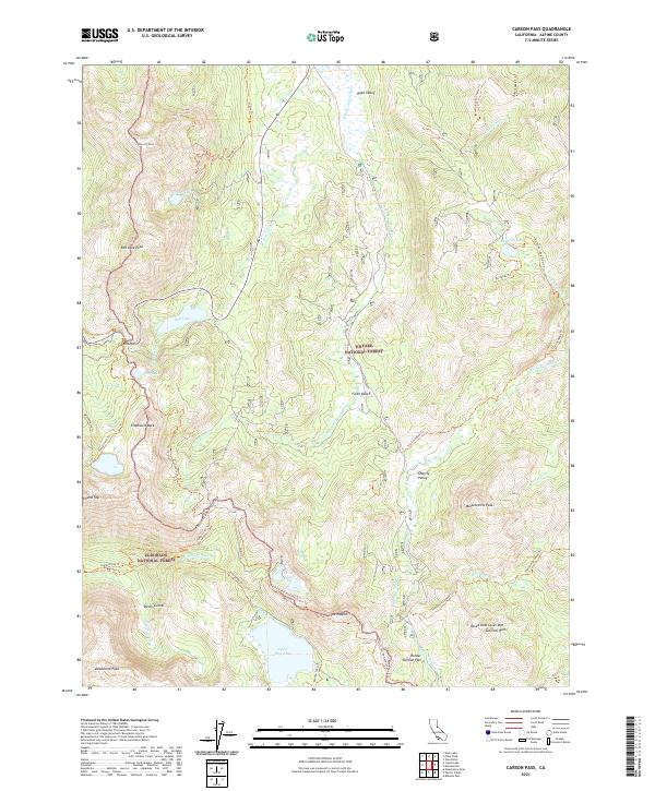 2021 Carson Pass2021 Print · USGSThis high-altitude section of the Sierra Nevada near the California-Nevada border is documented in the early twenty-first century. Researchers can trace the path of the Pacific Crest National Scenic Trl past landmarks like The Nipple and through the sweeping meadows of Hope Valley.
 - 2021 Map of Mokelumne Peak, 2021 Print
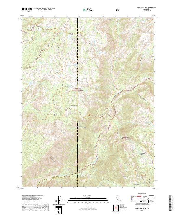 2021 Mokelumne Peak2021 Print · USGSHigh in the Sierra Nevada during the 2020s, this survey covers the intersection of three counties and two national forests. Trace historic backcountry routes like the Carson Emigrant N.R.T. Trl and find landmarks like Mokelumne Peak or Lake Valley.
 - 2021 Map of Donnell Lake, 2021 Print
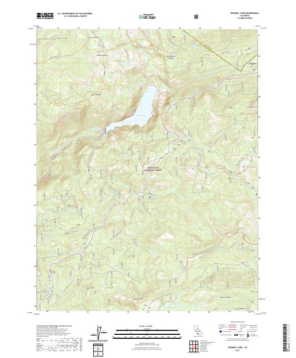 2021 Donnell Lake2021 Print · USGSHigh in the Sierra Nevada during the early twenty-first century, this area centers on the deep waters of Donnell Lake. Researchers can trace old mountain routes and landforms like Mill Creek Cem, Pikes Peak, and the Ancient Dwarves I. T. Trl.
 - 2021 Map of South Lake Tahoe, 2021 Print
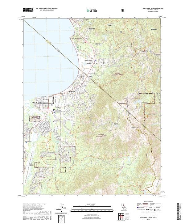 2021 South Lake Tahoe2021 Print · USGSThe high Sierras meet the developed shoreline of the South Shore in the 2020s, showing a landscape defined by tourism and wilderness. Researchers can trace the boundaries of Stateline and Bijou Park, find Happy Homestead Cem, or explore the trails around Monument Peak.
 - 2021 Map of Sonora Pass, 2021 Print
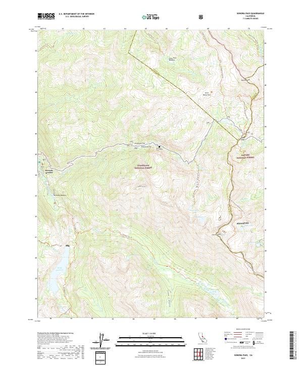 2021 Sonora Pass2021 Print · USGSThe high Sierra crossing at Sonora Pass is documented in this 2021 survey, showing the intersection of three counties and the Pacific Crest National Scenic Trail. Researchers can find the remote Deadman's Creek Grave and trace trails to Relief Reservoir and Kennedy Meadow.
 - 2021 Map of Spicer Meadow Reservoir, 2021 Print
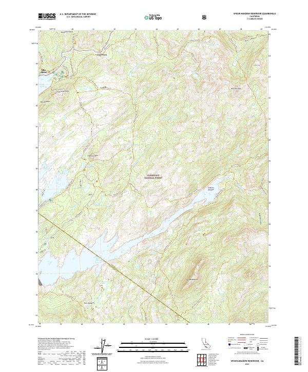 2021 Spicer Meadow Reservoir2021 Print · USGSThe High Sierra near the Alpine and Tuolumne county line is shown here in the early twenty-first century. Researchers can trace the path of the Emigrant Trl and locate secluded landmarks like The Dardanelles and Spicer Meadow Reservoir.
 - 2021 Map of Echo Lake, 2021 Print
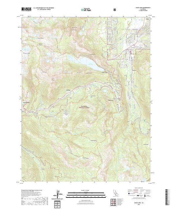 2021 Echo Lake2021 Print · USGSThe high Sierra peaks and alpine basins near Meyers are captured here as they appeared in 2021. Researchers can trace historic mountain routes through Johnson Pass and Echo Summit or locate landmarks like Twin Bridges and Sayles Flat.
 - 2022 Map of Freel Peak, 2022 Print
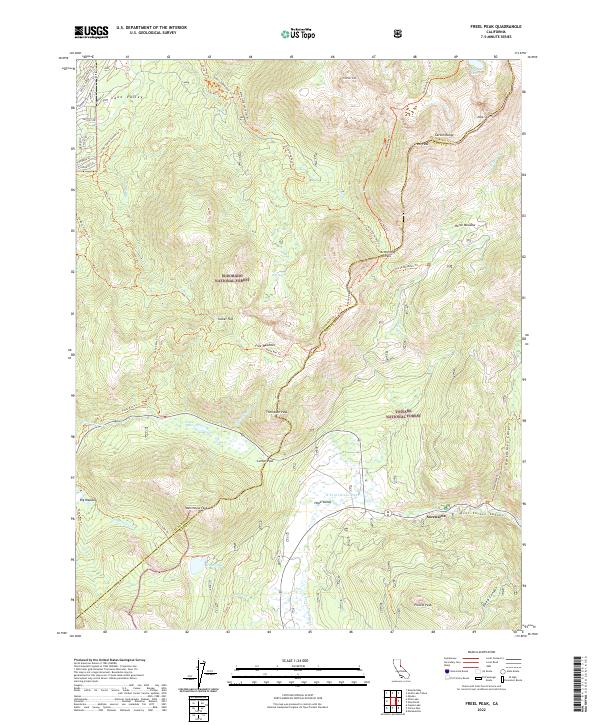 2022 Freel Peak2022 Print · USGSThe high Sierra peaks and alpine basins of the El Dorado and Alpine county border are shown here in the early twenty-first century. Hikers and historians can trace the paths through Hope Valley and Big Meadow, or locate landmarks like Sorensens and Star Lake.
 - 2022 Map of Markleeville, 2022 Print
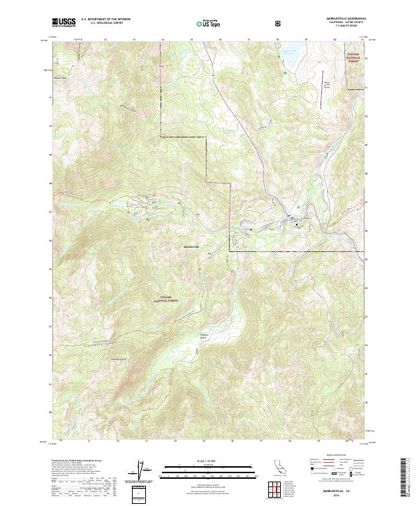 2022 Markleeville2022 Print · USGSMarkleeville and the high Sierra peaks come into focus during this twenty-first-century survey of the California mountains. Researchers can locate civic landmarks like the Superior Court and recreational sites such as Grover Hot Springs.
 - 2022 Map of Caples Lake, 2022 Print
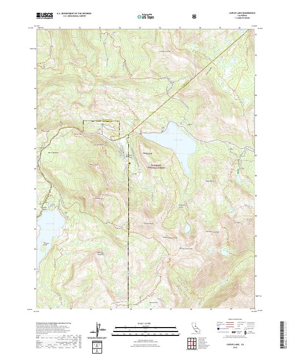 2022 Caples Lake2022 Print · USGSThe high Sierra peaks and alpine lakes near Kirkwood are captured in the early 2020s, showing a landscape defined by winter recreation and wilderness trails. Genealogists and hikers can trace the Pacific Crest National Scenic Trl or locate historic sites like Summit City and Machado Postpiles.
 - 2022 Map of Tamarack, 2022 Print
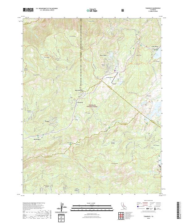 2022 Tamarack2022 Print · USGSHigh Sierra settlements and meadows emerge in this 2020s study of the Stanislaus National Forest and its alpine communities. Researchers can trace historic routes like the Emigrant Trl and explore family-named landmarks including Sherman Acres, Sapps Hill, and Jelmini Basin.
End of results
Showing maps 1-25 of 25
Top cities of Alpine County
- Alpine Village historical maps
- Mesa Vista historical maps
- Markleeville historical maps
- Bear Valley historical maps
Frequently asked questions
- What are the different types of historical maps available for Alpine County?
- What is the oldest map of Alpine County?
- Where can I purchase historical maps of Alpine County for my home or office?
- Where can I download high-res historical maps of Alpine County?
- Are there historical topographic maps available for Alpine County?
- Is there historical aerial imagery available for Alpine County?
- Where are historical maps of Alpine County sourced from?