2000s (21st Century) Maps of Calaveras County, California
Explore 133 historic maps of Calaveras County from the 2000s (21st Century). These maps offer a rare glimpse into what life looked like during the 2000s — showing old roads, neighborhoods, homes, and landmarks that have changed or disappeared over time.
Whether you're researching your family's past, planning a metal detecting trip, or studying how Calaveras County's landscape evolved across the 2000s, these high-resolution maps are a powerful tool for exploring the history of this region.
- Focus on a specific era: All maps on this page are from the 2000s, giving you a focused view of this time period.
- See what’s changed: Compare century-old streets, trails, and buildings to today's modern landscape using overlays and satellite layers.
- Research with precision: Use these maps for genealogy, historical research, land use analysis, or educational projects.
- View, download, or print: Maps are fully viewable online in high resolution, and can be downloaded or printed for your own records.
Start exploring Calaveras County's history through authentic maps from the 2000s. This is your window into the past.
Calaveras County, CA maps
(133)- 2000 Map of Keystone, 2002 Print
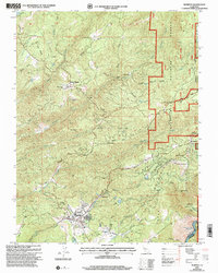
 2000 Keystone2002 Print · USGSTuolumne County's rugged ranchlands and hydraulic engineering are on display in this turn-of-the-millennium survey. Researchers can trace the path of the Hetch Hetchy Aqueduct or locate family landmarks like Burgeson Ranch and the settlement of Keystone.
 - 2001 Map of Murphys, 2004 Print
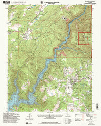
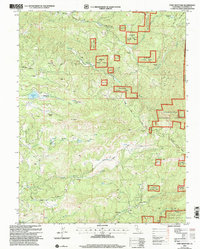
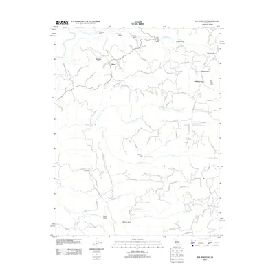
 2001 Murphys2004 Print · USGSCalaveras County's mining heartland is captured here at the start of the new millennium. Researchers can trace the evolution of old claims and settlements from Sheep Ranch to Murphys, alongside landmarks like the Collierville Powerhouse.
 - 2001 Map of Columbia, 2004 Print
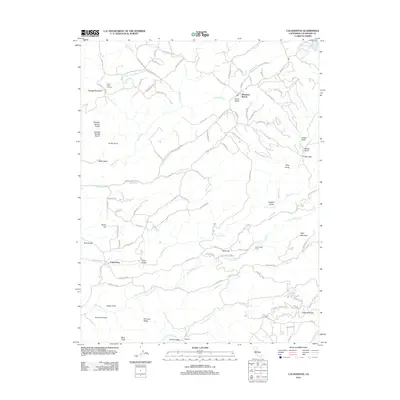
 2001 Columbia2004 Print · USGSCalaveras and Tuolumne counties meet along the rugged Stanislaus River canyon in this early 2000s survey of California's Gold Country. Genealogists and researchers can trace the historic footprint of Columbia State Historic Park, locate the Catholic Cemetery, and explore old mining sites like Yankee Hill.2 unique versions available
 - 2001 Map of Stanislaus, 2004 Print
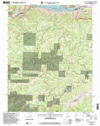
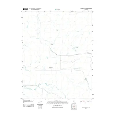
 2001 Stanislaus2004 Print · USGSThe Sierra Nevada foothills at the start of the millennium show a mix of tight-knit residential communities and protected timberlands. Genealogists and local historians can locate specific sites like Avery Ranch, Douds Landing, and Lakemont Pines.
 - 2001 Map of Devils Nose, 2004 Print
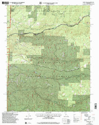
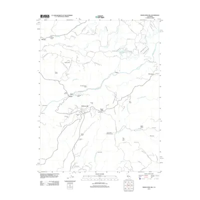
 2001 Devils Nose2004 Print · USGSThe Amador and Calaveras county line at the start of the millennium highlights a landscape of high ridges and hydroelectric infrastructure. Researchers can trace the rugged water systems from the Tiger Creek Reservoir to the Mokelumne River, while locating secluded spots like Whitmore Meadow and Boston Flat.
 - 2001 Map of Dorrington, 2004 Print
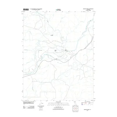
 2001 Dorrington2004 Print · USGSThe High Sierra foothills near the Calaveras and Tuolumne county line are shown here just after the turn of the millennium. Researchers can trace local landmarks like Blue Mountain Lookout and family-named enclaves such as Mumbert Acres and Airola Camp.
 - 2001 Map of Fort Mountain, 2004 Print
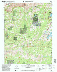
 2001 Fort Mountain2004 Print · USGSCalaveras County's rugged mining and ranching country is captured here during the early twenty-first century as part of the Forest Service's ongoing land management. Genealogists and historians can locate remote landmarks like Swiss Ranch, the Fine Gold Mine, and a local cemetery near the Mokelumne River.
 - 2001 Map of Tamarack, 2004 Print
 2001 Tamarack2004 Print · USGSHigh Sierra recreation and pioneer history meet in this early 2000s survey of the Stanislaus National Forest. Genealogists and historians can trace the Emigrant Trail and the Bloods Toll Sta Hist Site alongside developments like Sherman Acres.2 unique versions available
 - 2001 Map of Calaveras Dome, 2004 Print
 2001 Calaveras Dome2004 Print · USGSThe High Sierra backcountry near the Amador and Calaveras border comes to life in this era of forest management and water engineering. Trace high-altitude landmarks and resource sites from Cuneo Camp and Ganns to the Shovel Grave Quarry.
 - 2001 Map of Boards Crossing, 2004 Print
 2001 Boards Crossing2004 Print · USGSThe high country of the Sierra Nevada comes into focus at the turn of the century as it transitions from historic timber camps to protected forest. Researchers can trace the footprints of old mountain life at Ramsey, Cow Camp, and the uniquely named Brown Boy Cabin.
 - 2001 Map of Garnet Hill, 2004 Print
 2001 Garnet Hill2004 Print · USGSThe Sierra Nevada foothills come into focus at the turn of the millennium where the Amador and Calaveras county lines meet. Researchers can trace historic mining activity at Moore Mine or follow the winding North Fork Mokelumne River and Licking Fork.
 - 2012 Map of Rail Road Flat, 2012 Print
 2012 Rail Road Flat2012 Print · USGSCovers Calaveras County, including Alabama Hill, Glencoe, and other nearby areas
 - 2012 Map of Mokelumne Hill, 2012 Print
 2012 Mokelumne Hill2012 Print · USGSCovers Calaveras County, including Jackson, Electra, and other nearby areas
 - 2012 Map of Valley Springs, 2012 Print
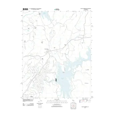 2012 Valley Springs2012 Print · USGSCovers Calaveras County, including Rancho Calaveras, Valley Springs, and other nearby areas
 - 2012 Map of Salt Spring Valley, 2012 Print
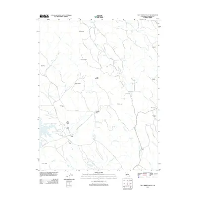 2012 Salt Spring Valley2012 Print · USGSCovers Calaveras County, including Carmen City, Lost City, and other nearby areas
 - 2012 Map of Valley Springs SW, 2012 Print
 2012 Valley Springs SW2012 Print · USGSCovers Calaveras County, including Mother Lode Acres, Oak Grove, and other nearby areas
 - 2012 Map of San Andreas, 2012 Print
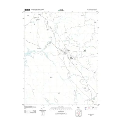 2012 San Andreas2012 Print · USGSCovers Calaveras County, including Oak Park Estates, San Andreas, and other nearby areas
 - 2012 Map of Angels Camp, 2012 Print
 2012 Angels Camp2012 Print · USGSCovers Calaveras County, including Carson Hill, Melones, and other nearby areas
 - 2012 Map of Jackson, 2012 Print
 2012 Jackson2012 Print · USGSCovers Calaveras County, including Jackson, Sutter Creek, and other nearby areas
 - 2012 Map of Jenny Lind, 2012 Print
 2012 Jenny Lind2012 Print · USGSCovers Calaveras County, including Milton, Scenic Valley Ranchos, and other nearby areas
 - 2012 Map of Wallace, 2012 Print
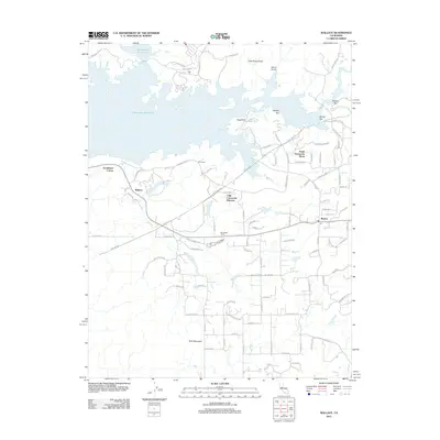 2012 Wallace2012 Print · USGSCovers Calaveras County, including Lake Camanche Ranches, Burson, and other nearby areas
 - 2012 Map of Calaveritas, 2012 Print
 2012 Calaveritas2012 Print · USGSCovers Calaveras County, including Mountain Ranch, Calaveritas, and other nearby areas
 - 2012 Map of Bachelor Valley, 2012 Print
 2012 Bachelor Valley2012 Print · USGSCovers Calaveras County, including Eugene, Stanislaus County, and other nearby areas
 - 2012 Map of Copperopolis, 2012 Print
 2012 Copperopolis2012 Print · USGSCovers Calaveras County, including Telegraph City, Copper Cove Subdivision, and other nearby areas
 - 2012 Map of Knights Ferry, 2012 Print
 2012 Knights Ferry2012 Print · USGSCovers Calaveras County, including Knights Ferry, Stanislaus County, and other nearby areas
Showing maps 1-25 of 133
Top cities of Calaveras County
Frequently asked questions
- What are the different types of historical maps available for Calaveras County?
- What is the oldest map of Calaveras County?
- Where can I purchase historical maps of Calaveras County for my home or office?
- Where can I download high-res historical maps of Calaveras County?
- Are there historical topographic maps available for Calaveras County?
- Is there historical aerial imagery available for Calaveras County?
- Where are historical maps of Calaveras County sourced from?