2010s Maps of Calaveras County, California
Explore 90 historic maps of Calaveras County from the 2010s. These maps offer a rare glimpse into what life looked like during the 2010s — showing old roads, neighborhoods, homes, and landmarks that have changed or disappeared over time.
Whether you're researching your family's past, planning a metal detecting trip, or studying how Calaveras County's landscape evolved across the 2010s, these high-resolution maps are a powerful tool for exploring the history of this region.
- Focus on a specific era: All maps on this page are from the 2010s, giving you a focused view of this time period.
- See what’s changed: Compare century-old streets, trails, and buildings to today's modern landscape using overlays and satellite layers.
- Research with precision: Use these maps for genealogy, historical research, land use analysis, or educational projects.
- View, download, or print: Maps are fully viewable online in high resolution, and can be downloaded or printed for your own records.
Start exploring Calaveras County's history through authentic maps from the 2010s. This is your window into the past.
Calaveras County, CA maps
(90)- 2012 Map of Rail Road Flat, 2012 Print
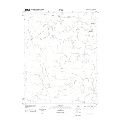 2012 Rail Road Flat2012 Print · USGSCalaveras County hill country comes into focus in this early twenty-first-century survey. Genealogists and local historians can trace the foundations of Rail Road Flat and Glencoe while identifying family-named landmarks like Alabama Hill and Norwich Mine Rd.
 - 2012 Map of Mokelumne Hill, 2012 Print
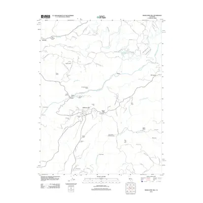 2012 Mokelumne Hill2012 Print · USGSThe Mother Lode foothills come into focus in the early twenty-first century, showcasing a landscape of ranching and water engineering. Trace local history through family-named landmarks like McSorley Ranch and the gold-era echoes of Mokelumne Hill and Jesus Maria.
 - 2012 Map of Valley Springs, 2012 Print
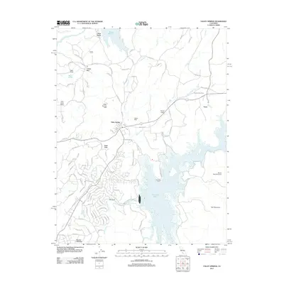 2012 Valley Springs2012 Print · USGSCalaveras County's water-management landscape comes into focus during the early twenty-first century as suburban growth meets rugged terrain. You can trace the complex shoreline of New Hogan Lake or locate the infrastructure at Camp Pardee and the Pardee Tunnel.
 - 2012 Map of Salt Spring Valley, 2012 Print
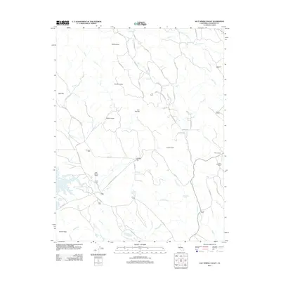 2012 Salt Spring Valley2012 Print · USGSCalaveras County ranching lands and foothills are captured here in the early twenty-first century. Researchers can trace historic family holdings and remote settlements like Carmen City, Felix, Inks Ranch, and the intriguing site of Lost City.
 - 2012 Map of Valley Springs SW, 2012 Print
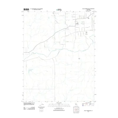 2012 Valley Springs SW2012 Print · USGSCalaveras County ranchlands and river valleys are captured here during a period of transition in the early twenty-first century. Genealogists and local historians can trace property boundaries and rural developments near Ospital Ranch, Mother Lode Acres, and the Calaveras River.
 - 2012 Map of San Andreas, 2012 Print
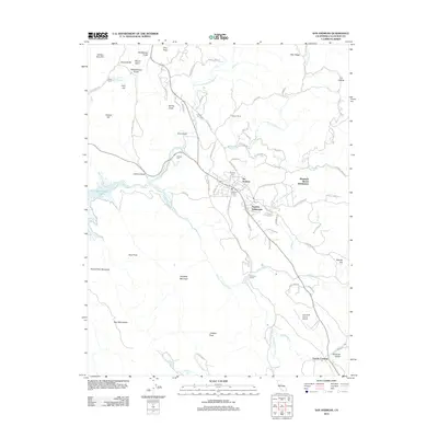 2012 San Andreas2012 Print · USGSCalaveras County's historic gold-country character is preserved here in the early 21st century, centered on the community of San Andreas. Genealogists and researchers can trace local family lineages at Pioneer Cem, Peoples Cem, or the Catholic Cem, while exploring the rural outskirts of Fourth Crossing and Brandy Flat.
 - 2012 Map of Angels Camp, 2012 Print
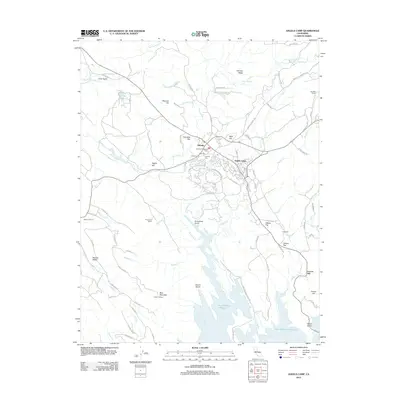 2012 Angels Camp2012 Print · USGSCalaveras County gold country is centered around the storied settlements of Angels Camp and Altaville in the early twenty-first century. Genealogists and historians can trace family roots at the Altaville Protestant Cem or explore the geography of Carson Hill and Frogtown.
 - 2012 Map of Jackson, 2012 Print
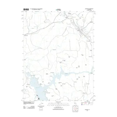 2012 Jackson2012 Print · USGSAmador County's gold country and hydraulic history are on full display in this survey of the Jackson area. Researchers can trace historic mining routes and landmarks like Kennedy Mine Rd, Jackson Gate, and the Massa Tunnel near the Pardee Reservoir shoreline.
 - 2012 Map of Jenny Lind, 2012 Print
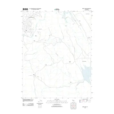 2012 Jenny Lind2012 Print · USGSCalaveras County ranching and water history come into focus in this recent survey of the Sierra Nevada foothills. Researchers can trace the layout of Milton, locate the Milton Cem, and follow irrigation routes like the South Gulch Ditch across Salt Spring Valley.
 - 2012 Map of Wallace, 2012 Print
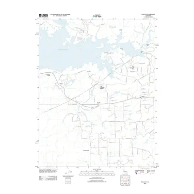 2012 Wallace2012 Print · USGSCalaveras County transitions from rural ranching to reservoir-side living in the early twenty-first century. Researchers can trace the development of Lake Camanche Ranches and South Camanche Shore alongside historic locales like Wallace and Burson.
 - 2012 Map of Calaveritas, 2012 Print
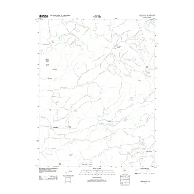 2012 Calaveritas2012 Print · USGSCalaveras County hill country comes alive in this study of the Sierra Nevada foothills, where mining history and modern settlements converge. Local researchers can trace the roads to Mountain Ranch, Cave City, and the Lucky Jim Mine Rd.
 - 2012 Map of Bachelor Valley, 2012 Print
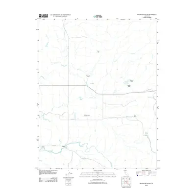 2012 Bachelor Valley2012 Print · USGSBachelor Valley and the southern Stanislaus County countryside are depicted here in the early twenty-first century. Genealogists and local historians can trace family-named sites such as Snow Ranch, Bund Ranch, and the Saint Joseph Cem near Eugene.
 - 2012 Map of Copperopolis, 2012 Print
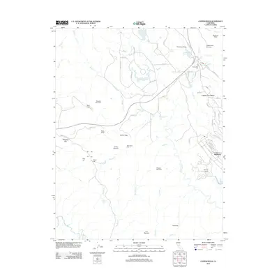 2012 Copperopolis2012 Print · USGSCalaveras County's rugged foothills and growing residential communities are documented here during the early 2010s. Researchers can locate family landmarks at the Copperopolis Cem or trace rural terrain around Telegraph City and Iron Mountain.
 - 2012 Map of Knights Ferry, 2012 Print
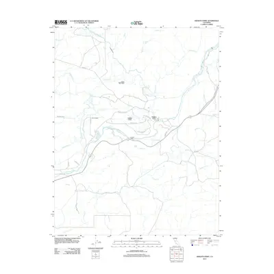 2012 Knights Ferry2012 Print · USGSThe Stanislaus River corridor near Knights Ferry is shown here during its modern era of sophisticated water engineering. Genealogists and historians can trace irrigation networks like the Hetch Hetchy Aqueduct alongside landmarks such as Lovers Leap and Cape Horn Tunnel.
 - 2012 Map of Keystone, 2012 Print
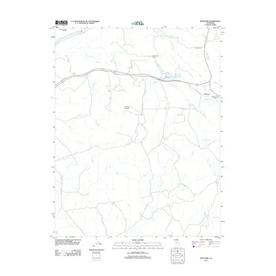 2012 Keystone2012 Print · USGSTuolumne County's ranching and water infrastructure are clearly defined in this early twenty-first-century survey of the foothills. Researchers can trace the path of the Hetch Hetchy Aqueduct and locate family landmarks like Burgeson Ranch or the Kistler Ranch Airport.
 - 2012 Map of New Melones Dam, 2012 Print
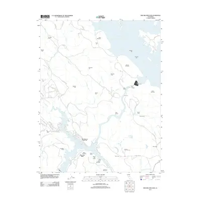 2012 New Melones Dam2012 Print · USGSTuolumne County's river landscape is defined by massive water projects and residential growth in the early twenty-first century. Researchers can trace the engineering footprint of the New Melones Dam and find local landmarks like the Jamestown Conservation Camp and The Shores of Poker Flat.
 - 2012 Map of Sonora, 2012 Print
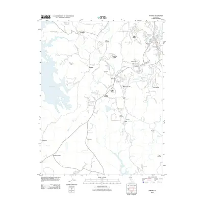 2012 Sonora2012 Print · USGSTuolumne County’s gold country comes alive in this contemporary view of the Mother Lode’s enduring settlements and historic infrastructure. Researchers can trace family roots through numerous burial sites like Jewish Cem or locate regional landmarks such as the Mark Twain Cabin and Tuttletown.
 - 2012 Map of Mokelumne Peak, 2012 Print
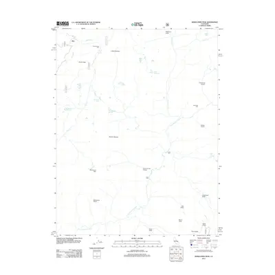 2012 Mokelumne Peak2012 Print · USGSHigh Sierra peaks and remote trading posts define this region at the start of the 2010s. Trace the paths to Plasse Trading Post, the Monty Wolf Cabin, and isolated landmarks like Horse Thief Spring.
 - 2012 Map of Boards Crossing, 2012 Print
 2012 Boards Crossing2012 Print · USGSTuolumne County’s high-country terrain is captured here during a period of modern forest management and recreation. Researchers can trace historical routes and outposts like Boards Crossing Road, Whittles Upper Camp, and the remote Brown Boy Cabin.
 - 2012 Map of Calaveras Dome, 2012 Print
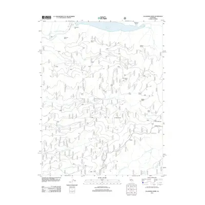 2012 Calaveras Dome2012 Print · USGSThe Sierra Nevada high country at the start of the twenty-first century is captured here, centered on the headwaters of the Mokelumne and Stanislaus Rivers. Genealogists and hikers can trace historical sites like Buck Ranch, Cuneo Camp, and the settlement at Ganns.
 - 2012 Map of Murphys, 2012 Print
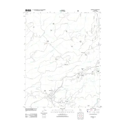 2012 Murphys2012 Print · USGSThe Sierra Nevada foothills near Murphys are mapped here as a landscape of historic ranching and modern viticulture. Researchers can trace the path of the Utica Ditch and locate early settlements like Sheep Ranch and Red Apple.
 - 2012 Map of Columbia, 2012 Print
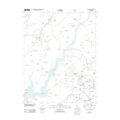 2012 Columbia2012 Print · USGSTuolumne County's historic gold country comes to life in this survey of the region surrounding Columbia. Researchers can trace old water systems like the O'Neil Ditch and locate family history at the Vallecito Cem or the Public Cem.
 - 2012 Map of Fort Mountain, 2012 Print
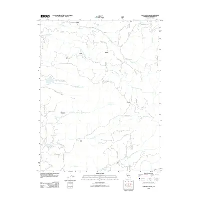 2012 Fort Mountain2012 Print · USGSCalaveras County's timber and ranching history is preserved here in the early twenty-first century, showing a terrain shaped by river forks and mountain ridges. Researchers can locate legacy sites like Mitchells Mill, the Old Emigrant Trl, and Swiss Ranch.
 - 2012 Map of Garnet Hill, 2012 Print
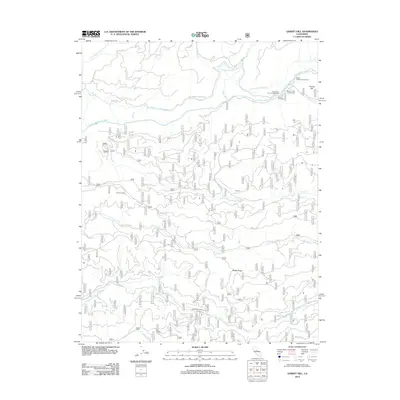 2012 Garnet Hill2012 Print · USGSCalaveras County's river-carved interior is documented here in the early twenty-first century, showing a land of deep canyons and timber ridges. Researchers can locate remote crossings like Solinsky Crossing, historical sites like Buck Ranch, and the path of the Tiger Creek Regulatory Canal.
 - 2012 Map of Tamarack, 2012 Print
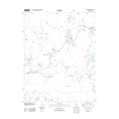 2012 Tamarack2012 Print · USGSBear Valley and the surrounding Sierra Nevada highlands are captured here in a period of established mountain recreation and seasonal settlement. Researchers can trace forest roads to alpine sites like Camp Wolfeboro, Lake Alpine, and the high-altitude neighborhoods of Skyhigh and Lombardi.
Showing maps 1-25 of 90
Top cities of Calaveras County
Frequently asked questions
- What are the different types of historical maps available for Calaveras County?
- What is the oldest map of Calaveras County?
- Where can I purchase historical maps of Calaveras County for my home or office?
- Where can I download high-res historical maps of Calaveras County?
- Are there historical topographic maps available for Calaveras County?
- Is there historical aerial imagery available for Calaveras County?
- Where are historical maps of Calaveras County sourced from?