2020s Maps of Calaveras County, California
Explore 32 historic maps of Calaveras County from the 2020s. These maps offer a rare glimpse into what life looked like during the 2020s — showing old roads, neighborhoods, homes, and landmarks that have changed or disappeared over time.
Whether you're researching your family's past, planning a metal detecting trip, or studying how Calaveras County's landscape evolved across the 2020s, these high-resolution maps are a powerful tool for exploring the history of this region.
- Focus on a specific era: All maps on this page are from the 2020s, giving you a focused view of this time period.
- See what’s changed: Compare century-old streets, trails, and buildings to today's modern landscape using overlays and satellite layers.
- Research with precision: Use these maps for genealogy, historical research, land use analysis, or educational projects.
- View, download, or print: Maps are fully viewable online in high resolution, and can be downloaded or printed for your own records.
Start exploring Calaveras County's history through authentic maps from the 2020s. This is your window into the past.
Calaveras County, CA maps
(32)- 2021 Map of Copperopolis, 2021 Print
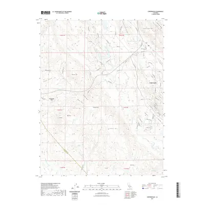 2021 Copperopolis2021 Print · USGSThe foothills of Calaveras County come alive in this contemporary map of a legendary mining and ranching district. Researchers can trace the layout of Telegraph City and Copperopolis, or find local landmarks like Copperopolis Cem and Boucher Mtn.
 - 2021 Map of Keystone, 2021 Print
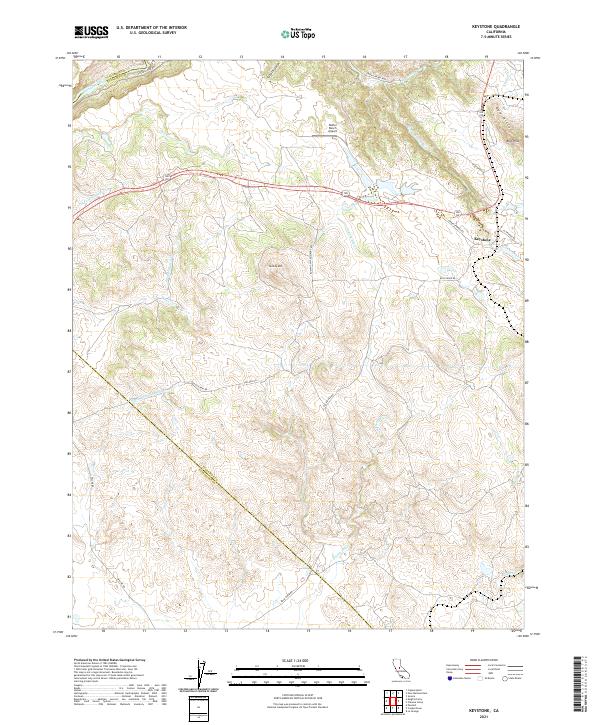 2021 Keystone2021 Print · USGSTuolumne County ranch lands and foothills are captured here in the early twenty-first century, showing the intersection of historic transit and modern infrastructure. You can trace the path of the Hetch Hetchy Aqueduct, find the Kistler Ranch Airport, and locate the settlement of Keystone.
 - 2021 Map of Sonora, 2021 Print
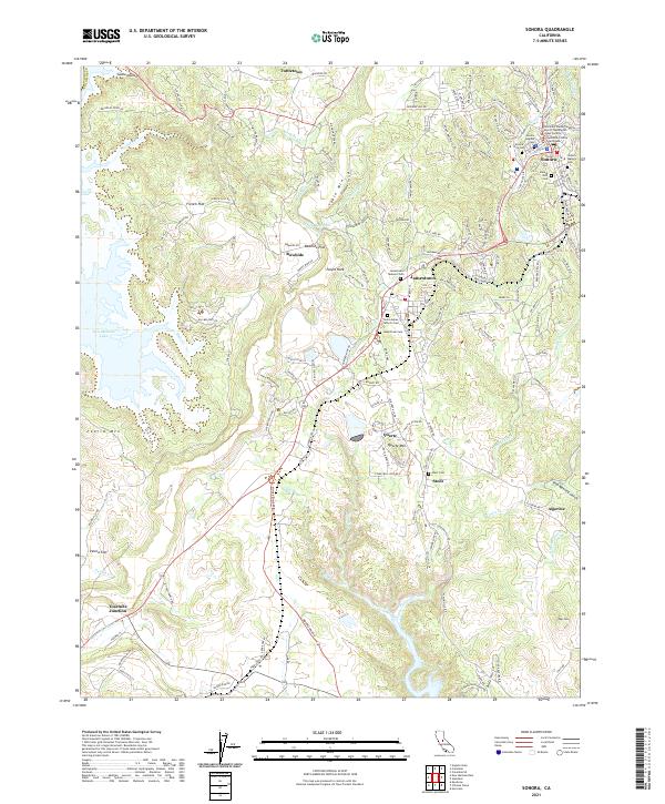 2021 Sonora2021 Print · USGSTuolumne County's historic gold country comes into focus in this contemporary survey of the Mother Lode. Genealogists and researchers can trace lineage through numerous burial sites like Sonora City Cem and Saint James Catholic Cem while exploring the geography of old mining camps near Quartz and Algerine.
 - 2021 Map of New Melones Dam, 2021 Print
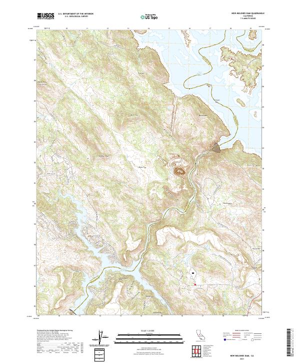 2021 New Melones Dam2021 Print · USGSThe foothills of the Sierra Nevada meet the waters of the Stanislaus River in this recent survey. Researchers can trace the shoreline of New Melones Lake and Tulloch Reservoir while locating historic mining-era sites like Bostick Bar and Vermont Bar.
 - 2021 Map of Boards Crossing, 2021 Print
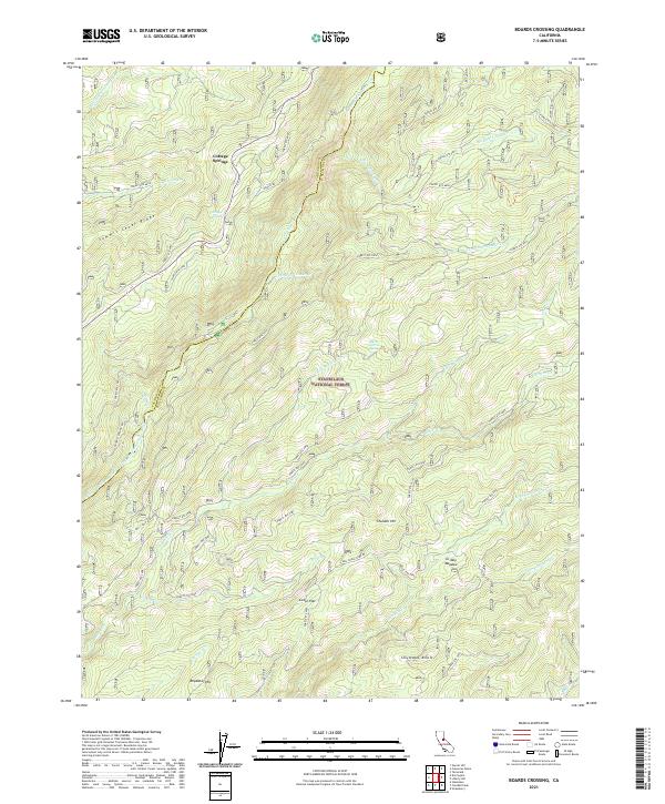 2021 Boards Crossing2021 Print · USGSThe High Sierra backcountry of Tuolumne and Calaveras counties is captured here in the early 2020s as the forest road network branches through the mountains. Researchers can trace the paths between Cottage Springs and Cedar Flat or locate landmarks like Grizzly Meadow and Summit Level Ridge.
 - 2021 Map of Angels Camp, 2021 Print
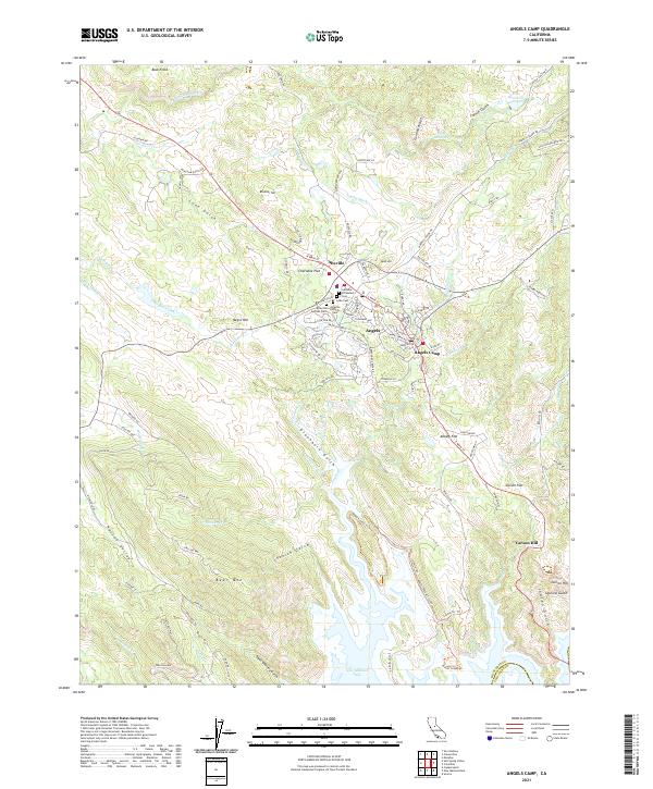 2021 Angels Camp2021 Print · USGSCalaveras County's gold country history is preserved here in the transition from the high ridges of Bear Mtn to the shoreline of New Melones Lake. Genealogists can trace family heritage through a unique concentration of sites like the Altaville Serbian Cem and Lode Cem.
 - 2021 Map of Wallace, 2021 Print
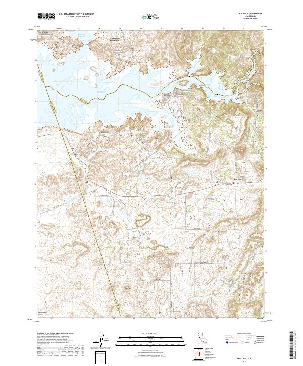 2021 Wallace2021 Print · USGSThe foothills of Calaveras and Amador counties are captured here in the early twenty-first century as they meet the Central Valley. Researchers can trace the modern layout of Wallace and Burson or locate mining-era sites like Poverty Bar and Winter Bar along the Camanche Reservoir shoreline.
 - 2021 Map of Valley Springs SW, 2021 Print
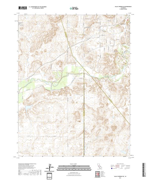 2021 Valley Springs SW2021 Print · USGSThe eastern edge of the San Joaquin Valley meets the foothills in this modern survey of the tri-county border. Genealogists and local researchers can trace family lands near Oak Grove or follow the path of the Calaveras River and Jenny Lind Rd.
 - 2021 Map of Stanislaus, 2021 Print
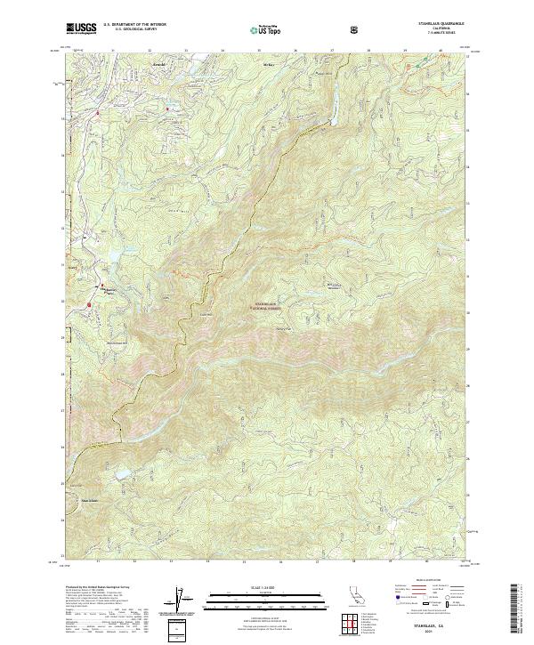 2021 Stanislaus2021 Print · USGSUpper Calaveras and Tuolumne counties are shown here as they appeared recently, centered on the steep river canyons and high timberlands. Researchers can trace the path of the Utica Ditch and locate the mountain settlements of Arnold, Hathaway Pines, and Avery.
 - 2021 Map of Salt Spring Valley, 2021 Print
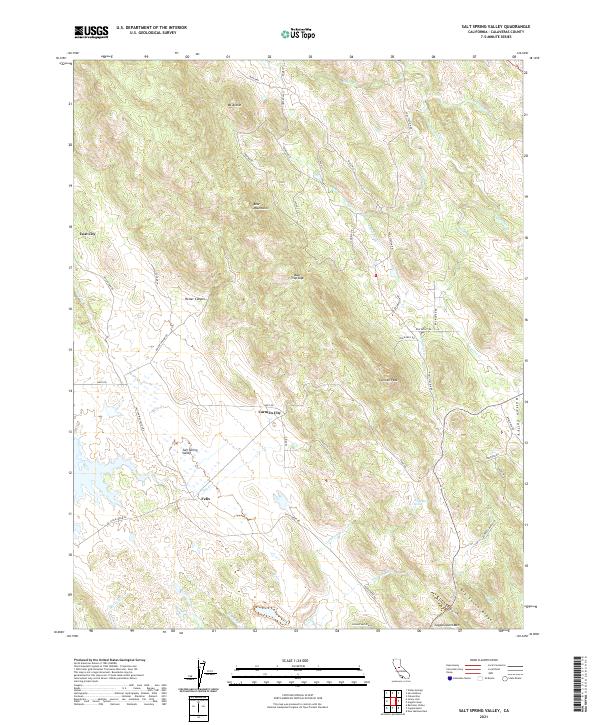 2021 Salt Spring Valley2021 Print · USGSCalaveras County ranching and mining country comes into focus in this contemporary survey of the Mother Lode foothills. Genealogists and historians can trace the vicinity of Felix and Lost City or locate landmarks like Copperopolis Mtn and Gooseberry Spring.
 - 2021 Map of Rail Road Flat, 2021 Print
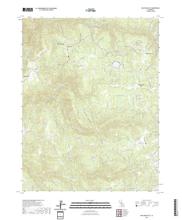 2021 Rail Road Flat2021 Print · USGSCalaveras County's rugged uplands are mapped here in the modern era, showing the enduring footprint of gold-country settlements. Genealogists can locate the Independence Cemetery while historians trace the path of the Old Emigrant Trail near Rail Road Flat.
 - 2021 Map of Jenny Lind, 2021 Print
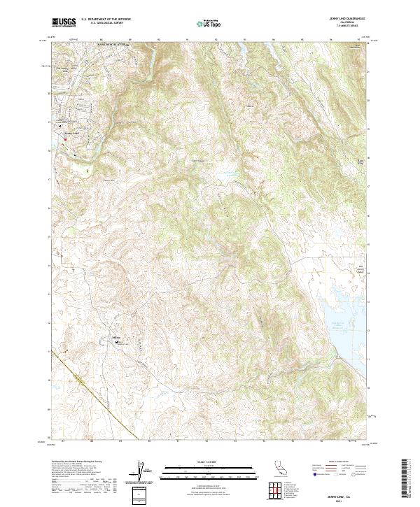 2021 Jenny Lind2021 Print · USGSCalaveras County's western foothills are mapped here during a period of modern growth and historical preservation. Genealogists can locate family sites at the Jenny Lind International Order of Odd Fellows Cemetery or the Milton Masonic Cemetery near Milton.
 - 2021 Map of Columbia, 2021 Print
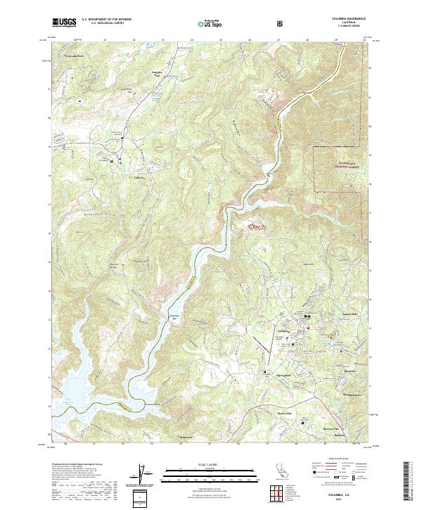 2021 Columbia2021 Print · USGSThe Mother Lode region of Tuolumne and Calaveras counties is seen here in recent decades, showing the intricate intersection of gold-era settlements and modern preservation. Genealogists can locate several historic burial sites like Columbia Masonic Cem and Springfield Cem while tracing landforms like Table Mtn.
 - 2021 Map of Valley Springs, 2021 Print
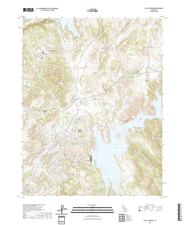 2021 Valley Springs2021 Print · USGSValley Springs and the surrounding foothills appear in this contemporary survey as a landscape of reservoirs and rural history. Researchers can locate the Campo Seco Protestant Cem, trace the Mokelumne Aqueduct, and explore terrain around New Hogan Lake.
 - 2021 Map of West Point, 2021 Print
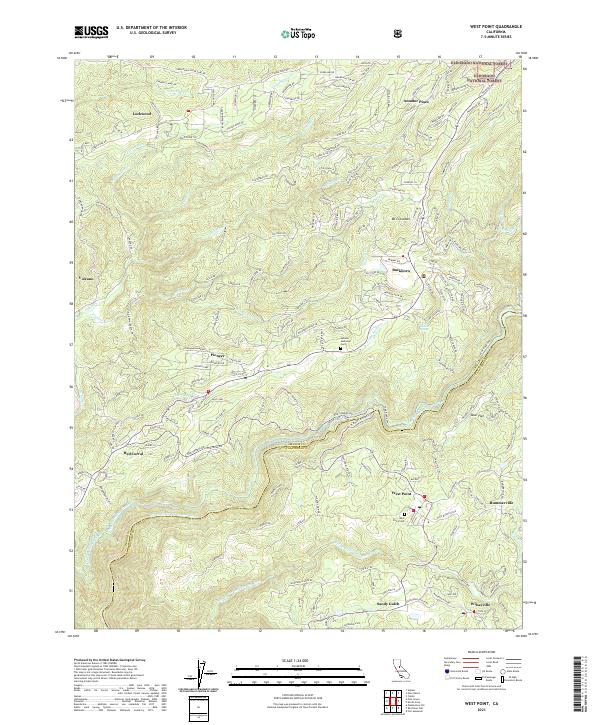 2021 West Point2021 Print · USGSThe Mother Lode foothills of Calaveras and Amador Counties are shown here during the early 2020s, highlighting a landscape shaped by rivers and canals. Researchers can trace the routes of the Upper Standard Canal or locate local landmarks like Sandy Gulch and Bummerville.
 - 2021 Map of Calaveras Dome, 2021 Print
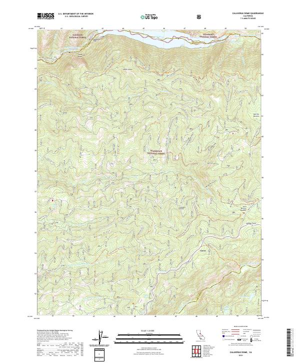 2021 Calaveras Dome2021 Print · USGSThe High Sierra backcountry is documented in the early twenty-first century as it straddles the Calaveras and Amador county lines. Researchers can trace the path of Old Hwy 4 past mountain settlements like Ganns and Cabbage Patch near Pumpkin Hollow.
 - 2021 Map of Bachelor Valley, 2021 Print
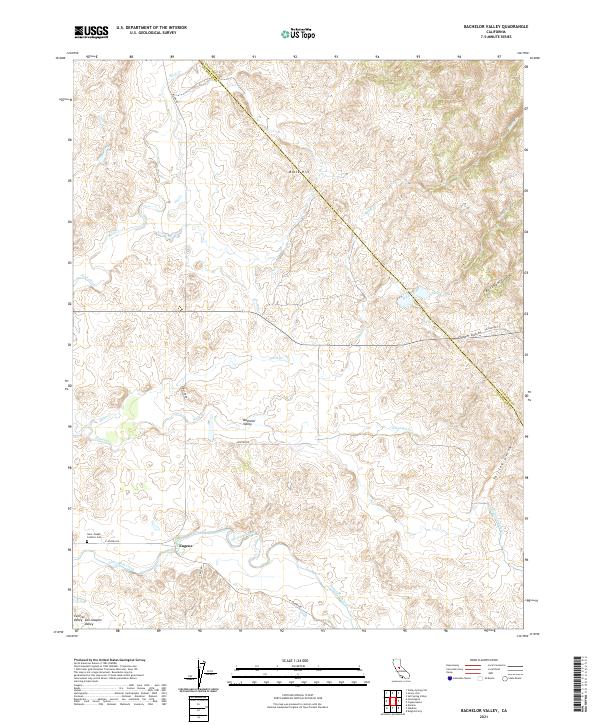 2021 Bachelor Valley2021 Print · USGSBachelor Valley and the settlement of Eugene appear here as the foothills meet the San Joaquin Valley floor. Researchers can locate the Saint Joseph Catholic Cem and trace seasonal waterways like Littlejohns Creek or the Thalheim Lateral.
 - 2021 Map of Knights Ferry, 2021 Print
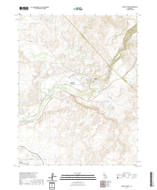 2021 Knights Ferry2021 Print · USGSThe Stanislaus River corridor and its historic river crossing are captured here in the early twenty-first century as the region maintains its agricultural character. Researchers can trace the sophisticated water network through the Thalheim Lateral and find local landmarks like Oak Grove Cem and Lovers Leap.
 - 2021 Map of Garnet Hill, 2021 Print
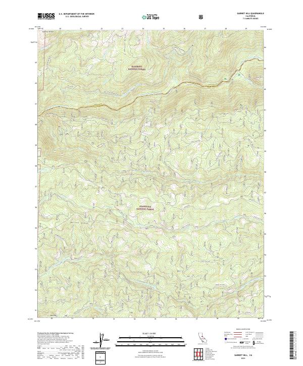 2021 Garnet Hill2021 Print · USGSDeep in the Sierra Nevada timberland in 2021, this map captures the intersection of the Eldorado National Forest and Stanislaus National Forest. Trace the complex topography around Garnet Hill and family-named landmarks like Buck Ranch.
 - 2021 Map of Mokelumne Peak, 2021 Print
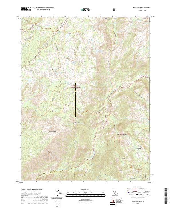 2021 Mokelumne Peak2021 Print · USGSHigh in the Sierra Nevada during the 2020s, this survey covers the intersection of three counties and two national forests. Trace historic backcountry routes like the Carson Emigrant N.R.T. Trl and find landmarks like Mokelumne Peak or Lake Valley.
 - 2021 Map of Devils Nose, 2021 Print
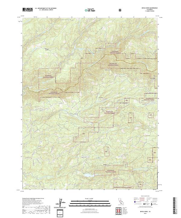 2021 Devils Nose2021 Print · USGSCalaveras and Amador counties meet in this modern survey of the Sierra Nevada timber and water lands during the early 2020s. Trace local landmarks like Devils Nose, the remote settlement of Lily Valley, and the hydrological works of the Tiger Cr Conduit.
 - 2021 Map of San Andreas, 2021 Print
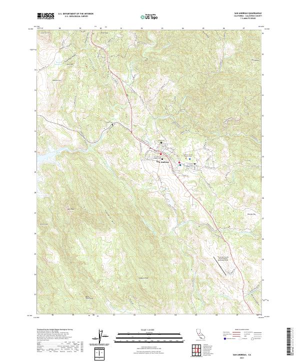 2021 San Andreas2021 Print · USGSCalaveras County's seat and the surrounding Sierra foothills are captured here in the early twenty-first century. Genealogists and local historians can locate several historic burial grounds, including Pioneer Cem and Peoples Cem, alongside landmarks like the Calaveras County Superior Court.
 - 2021 Map of Bear River Reservoir, 2021 Print
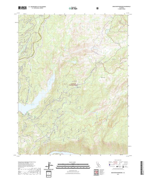 2021 Bear River Reservoir2021 Print · USGSThe High Sierra of Amador County is mapped here in the early twenty-first century, showing a landscape defined by massive water reservoirs and backcountry trails. Researchers can trace historic routes like the Carson Emigrant N.R.T. Trl and locate Foster Meadow or Shriner Lake.
 - 2021 Map of Calaveritas, 2021 Print
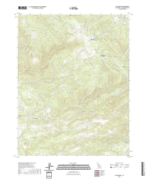 2021 Calaveritas2021 Print · USGSThe foothills of Calaveras County appear in detail here, showing the modern layout of early mining-era settlements. Genealogists and historians can trace family locations near Calaveritas, Old Gulch, and the Mountain Ranch Cem.
 - 2021 Map of Murphys, 2021 Print
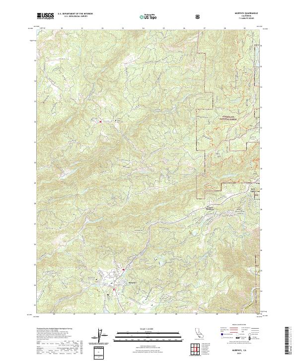 2021 Murphys2021 Print · USGSThe Murphys region in the early 2020s shows a landscape of modern mountain communities and legacy mining terrain. Trace family sites at the Saint Patricks Catholic Cem or explore the network of ditches and gulches near Sheep Ranch.
Showing maps 1-25 of 32
Top cities of Calaveras County
Frequently asked questions
- What are the different types of historical maps available for Calaveras County?
- What is the oldest map of Calaveras County?
- Where can I purchase historical maps of Calaveras County for my home or office?
- Where can I download high-res historical maps of Calaveras County?
- Are there historical topographic maps available for Calaveras County?
- Is there historical aerial imagery available for Calaveras County?
- Where are historical maps of Calaveras County sourced from?