2020s Maps of Madera County, California
Explore 58 historic maps of Madera County from the 2020s. These maps offer a rare glimpse into what life looked like during the 2020s — showing old roads, neighborhoods, homes, and landmarks that have changed or disappeared over time.
Whether you're researching your family's past, planning a metal detecting trip, or studying how Madera County's landscape evolved across the 2020s, these high-resolution maps are a powerful tool for exploring the history of this region.
- Focus on a specific era: All maps on this page are from the 2020s, giving you a focused view of this time period.
- See what’s changed: Compare century-old streets, trails, and buildings to today's modern landscape using overlays and satellite layers.
- Research with precision: Use these maps for genealogy, historical research, land use analysis, or educational projects.
- View, download, or print: Maps are fully viewable online in high resolution, and can be downloaded or printed for your own records.
Start exploring Madera County's history through authentic maps from the 2020s. This is your window into the past.
Madera County, CA maps
(58)- 2021 Map of Lanes Bridge, 2021 Print
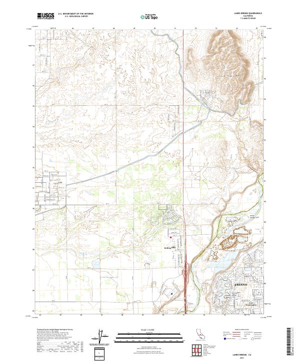 2021 Lanes Bridge2021 Print · USGSThe northern edge of the Fresno metropolitan area meets the Madera County line in the early 2020s. Researchers can trace the modern development of Rolling Hills and Fort Washington or locate landmarks like Cobbs Island and the Madera Canal.
 - 2021 Map of Mendota Dam, 2021 Print
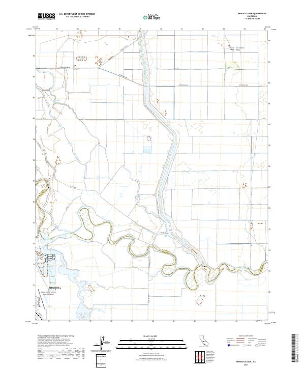 2021 Mendota Dam2021 Print · USGSAgricultural life in the San Joaquin Valley comes into focus in this contemporary survey of the Fresno-Madera county line. Researchers can trace irrigation history through Mendota Pool and the path of the San Joaquin River near Mendota.
 - 2021 Map of Biola, 2021 Print
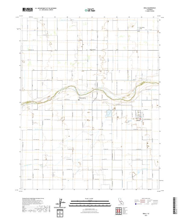 2021 Biola2021 Print · USGSThe agricultural heart of the San Joaquin Valley is revealed in this modern survey of the Fresno-Madera county line. Researchers can trace the path of the San Joaquin River and locate local landmarks like the Bethany Evangelical Lutheran Church Cem and Biola.
 - 2021 Map of Firebaugh NE, 2021 Print
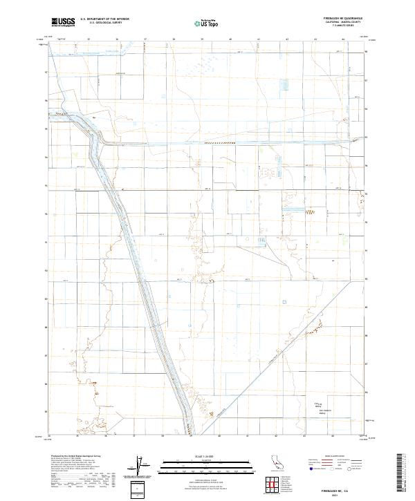 2021 Firebaugh NE2021 Print · USGSMadera County agricultural lands and water systems are documented here in the early 2020s. Researchers can trace the engineering of the Eastside Bypass and Chowchilla Canal alongside the natural path of the Fresno River.
 - 2021 Map of Bonita Ranch, 2021 Print
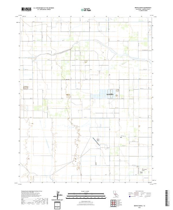 2021 Bonita Ranch2021 Print · USGSThe agricultural landscape of the San Joaquin Valley comes into focus here, showing the intricate grid of the Central Valley just west of Madera. Researchers can trace the path of the Fresno River and locate local landmarks like the New Hope Cem and the settlement of Bonita.
 - 2021 Map of Friant, 2021 Print
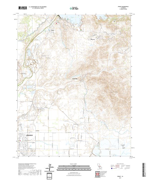 2021 Friant2021 Print · USGSThe foothills of the San Joaquin Valley meet the Sierra Nevada here in the early 2020s. Trace the intricate canal systems like the Friant-Kern Canal and locate local landmarks such as Winchell Cove Cem and the Clovis Community College Center.
 - 2021 Map of Oxalis, 2021 Print
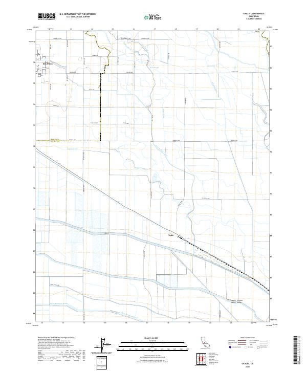 2021 Oxalis2021 Print · USGSThe Central Valley's intensive agricultural and water management systems are on full display in this recent look at the Fresno and Merced county border. Researchers can trace the engineering of the Delta-Mendota Canal and find local landmarks like Dos Palos and Oxalis.
 - 2021 Map of Le Grand, 2021 Print
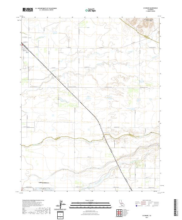 2021 Le Grand2021 Print · USGSMerced and Madera counties meet along the Chowchilla River in this modern survey of the San Joaquin agricultural belt. Genealogists can trace property lines and rural routes like Buchanan Hollow Rd or the northern outskirts of Chowchilla.
 - 2021 Map of Gregg, 2021 Print
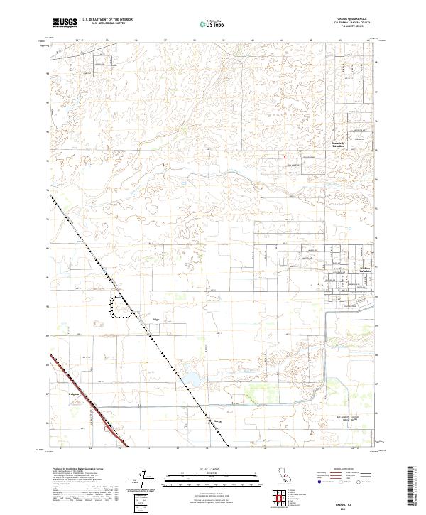 2021 Gregg2021 Print · USGSMadera County agricultural and residential growth is documented here during the early 2020s. Genealogists and local historians can trace the street layouts of Bonadelle Ranchos and Madera Ranchos or locate the settlements of Trigo and Gregg.
 - 2021 Map of Poso Farm, 2021 Print
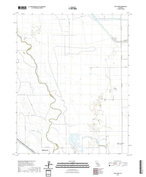 2021 Poso Farm2021 Print · USGSMadera and Fresno counties are captured here in the early twenty-first century, showing the complex water systems of the Central Valley. Researchers can trace the meandering San Joaquin River and irrigation networks like the Poso Canal and River Br Columbia Canal.
 - 2021 Map of Gravelly Ford, 2021 Print
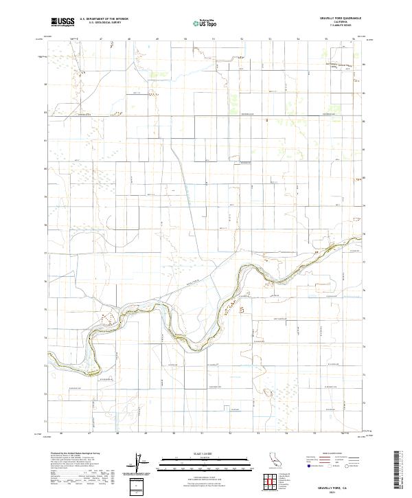 2021 Gravelly Ford2021 Print · USGSThe San Joaquin Valley at the start of the 2020s shows the intricate intersection of the San Joaquin River and the regional irrigation grid. Trace the paths of the Gravelly Ford Canal and Sandridge Canal across the Madera and Fresno county line.
 - 2021 Map of Mount Ritter, 2021 Print
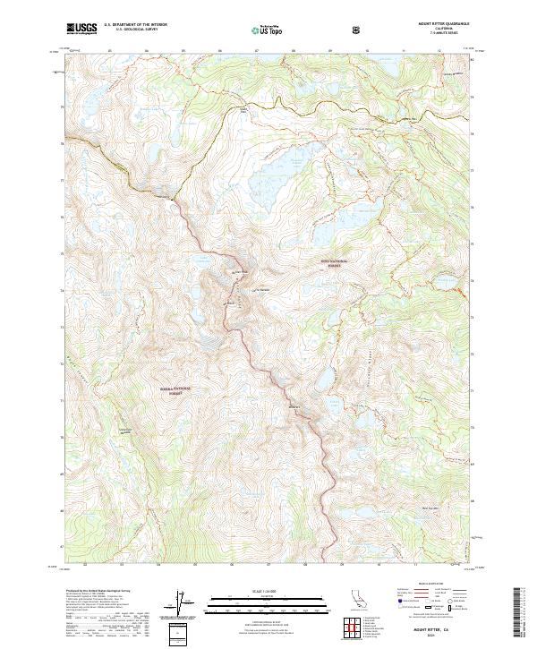 2021 Mount Ritter2021 Print · USGSHigh Sierra wilderness at the start of the twenty-first century reveals a landscape of massive granite peaks and glacial basins. Trace the historic route of the John Muir Trl through Island Pass or locate high-altitude landmarks like the Minaret Mine Trl and Banner Peak.
 - 2021 Map of Sing Peak, 2021 Print
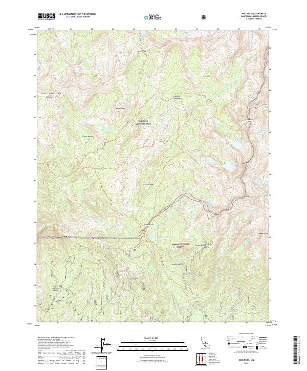 2021 Sing Peak2021 Print · USGSThe High Sierra backcountry near the Yosemite border comes to life in this recent survey. Hikers and historians can trace traditional routes like the California Riding and Hiking Trl and Fernandez Pass, or locate landmarks such as Sing Peak and Moraine Meadows.
 - 2021 Map of Auberry, 2021 Print
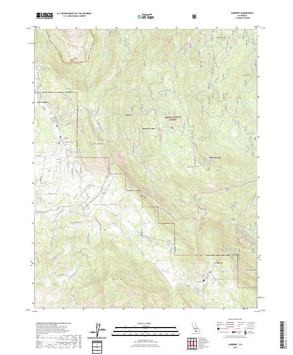 2021 Auberry2021 Print · USGSIn the Sierra Nevada foothills during the early twenty-first century, this area shows the development of mountain communities and forest management. Researchers can trace local history at Tollhouse Cem, the Prescott Mill, and through the residential clusters at Meadow Lakes and Alder Springs.
 - 2021 Map of Little Table Mountain, 2021 Print
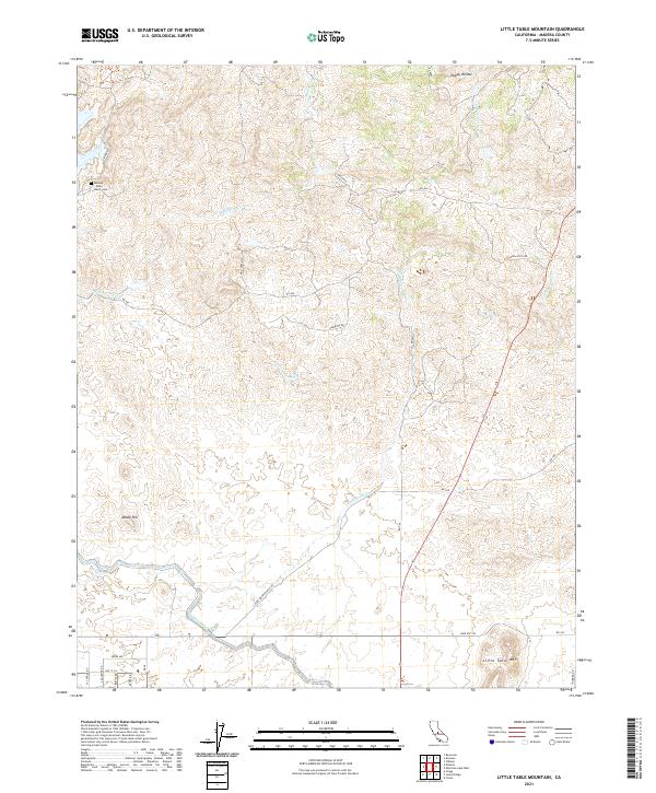 2021 Little Table Mountain2021 Print · USGSMadera County ranch lands and foothills are captured here in the early twenty-first century, showing the enduring agricultural character of the region. Researchers can trace family history at the Hensley Noble Ranch Cem or follow the path of the Madera Canal and Wide Awake Ranch Rd.
 - 2021 Map of North Fork, 2021 Print
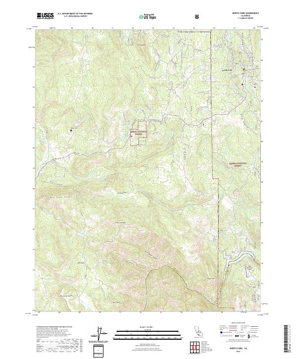 2021 North Fork2021 Print · USGSThe foothills of the Sierra Nevada come into focus in this recent study of the North Fork region, where the San Joaquin River meets the high forest. Researchers can trace historic water infrastructure like the Auberry Flume and locate family sites at Walker Cem.
 - 2021 Map of Raynor Creek, 2021 Print
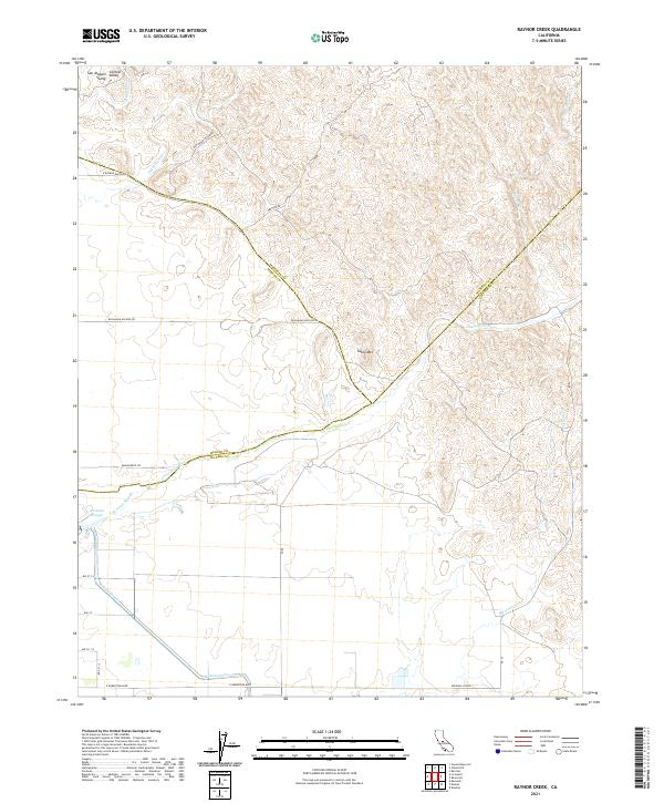 2021 Raynor Creek2021 Print · USGSThe northern San Joaquin Valley foothills meet the agricultural plains in this recent survey of the Madera and Mariposa county borders. Researchers can trace the path of the Madera Canal or locate landmarks like Table Mtn and the Chowchilla River.
 - 2021 Map of Plainsburg, 2021 Print
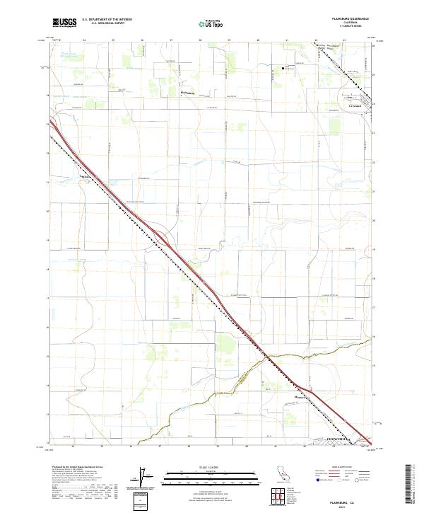 2021 Plainsburg2021 Print · USGSThe rural agricultural heart of the San Joaquin Valley is documented here just north of the Madera County line. Genealogists and local historians can trace the areas around Plainsburg, Le Grand, and the Helm - Turner Cem along the Santa Fe Ave corridor.
 - 2021 Map of Ahwahnee, 2021 Print
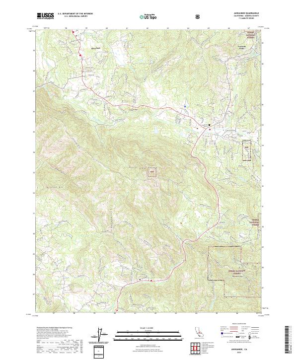 2021 Ahwahnee2021 Print · USGSAhwahnee and the Madera County foothills are captured in 2021 as they transition into the Sierra National Forest. Local historians can trace family connections at the Oakhill Cem District and explore mining history at the Texas Flat Mines.
 - 2021 Map of Knowles, 2021 Print
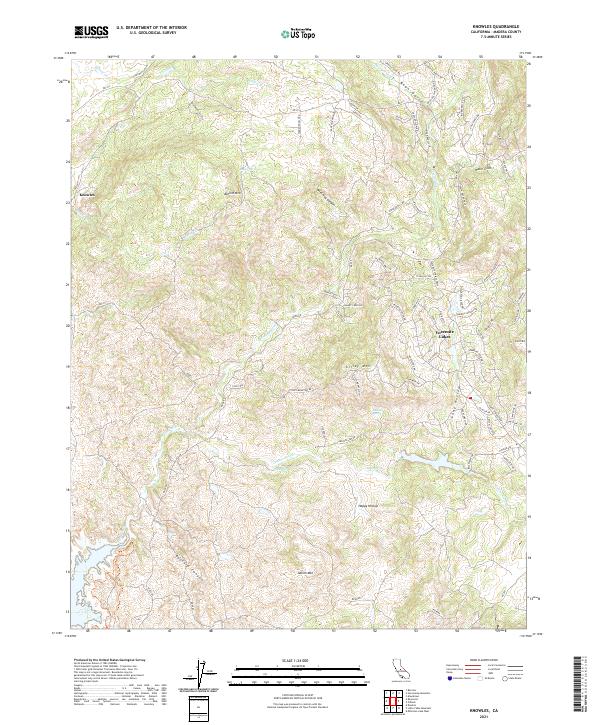 2021 Knowles2021 Print · USGSMadera County in the early 2020s shows the transition from the old ranching tracts of the foothills to modern residential enclaves. Genealogists and local historians can trace family land marks along Polk Ranch Rd or locate historic water sources like Pecan Spring and Vichy Spring.
 - 2021 Map of Little Shuteye Peak, 2021 Print
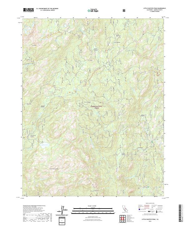 2021 Little Shuteye Peak2021 Print · USGSThe high Sierra Nevada backcountry of Madera County is documented here during the early twenty-first century. Genealogists and hikers can trace old pack routes like the Beasore Trl past landmarks such as Globe Rock and Little Shuteye Pass.
 - 2021 Map of Daulton, 2021 Print
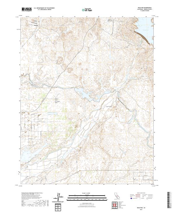 2021 Daulton2021 Print · USGSMadera County's agricultural and hydrologic landscape is captured here in the early 2020s as the Madera Canal cuts through the valley. Researchers can trace the paths of the Fresno River and China Slough or locate the settlement of Daulton.
 - 2021 Map of Millerton Lake West, 2021 Print
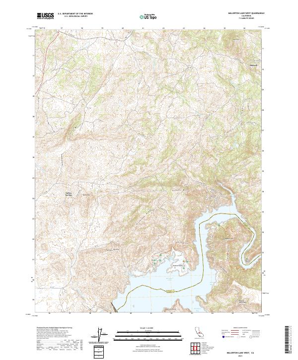 2021 Millerton Lake West2021 Print · USGSMadera County’s foothills meet the rising waters of the San Joaquin River in this recent survey. Local historians can trace the topography surrounding Millerton Lake, find the small settlement of Hildreth, and follow the Buzzard's Roost Trl.
 - 2021 Map of Musick Mountain, 2021 Print
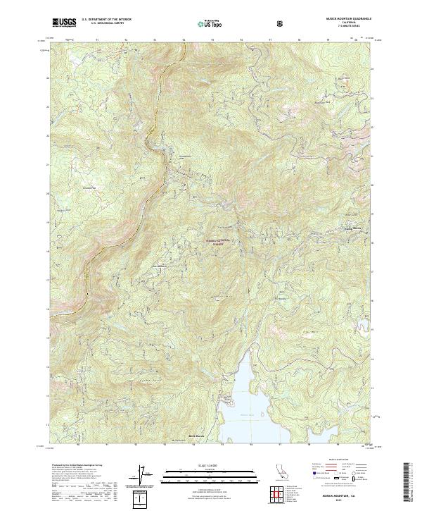 2021 Musick Mountain2021 Print · USGSThe high Sierra backcountry near the Madera and Fresno County line is documented here in the early twenty-first century. Researchers can trace the legacy of mountain industry and transit through the S J B E Railroad Grade and the infrastructure at Shaver Lake.
 - 2021 Map of Ben Hur, 2021 Print
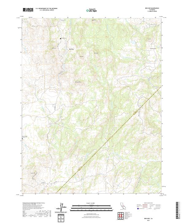 2021 Ben Hur2021 Print · USGSMariposa County, California, is captured here in the early twenty-first century as a landscape of rural roads and remote hillsides. Genealogists and local researchers can trace family roots at Pea Ridge Cem or follow the waters of the Chowchilla River past Buckeye Hill.
Showing maps 1-25 of 58
Top cities of Madera County
Frequently asked questions
- What are the different types of historical maps available for Madera County?
- What is the oldest map of Madera County?
- Where can I purchase historical maps of Madera County for my home or office?
- Where can I download high-res historical maps of Madera County?
- Are there historical topographic maps available for Madera County?
- Is there historical aerial imagery available for Madera County?
- Where are historical maps of Madera County sourced from?