2000s (21st Century) Maps of Madera County, California
Explore 247 historic maps of Madera County from the 2000s (21st Century). These maps offer a rare glimpse into what life looked like during the 2000s — showing old roads, neighborhoods, homes, and landmarks that have changed or disappeared over time.
Whether you're researching your family's past, planning a metal detecting trip, or studying how Madera County's landscape evolved across the 2000s, these high-resolution maps are a powerful tool for exploring the history of this region.
- Focus on a specific era: All maps on this page are from the 2000s, giving you a focused view of this time period.
- See what’s changed: Compare century-old streets, trails, and buildings to today's modern landscape using overlays and satellite layers.
- Research with precision: Use these maps for genealogy, historical research, land use analysis, or educational projects.
- View, download, or print: Maps are fully viewable online in high resolution, and can be downloaded or printed for your own records.
Start exploring Madera County's history through authentic maps from the 2000s. This is your window into the past.
Madera County, CA maps
(247)- 2004 Map of Timber Knob, 2007 Print
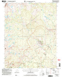 2004 Timber Knob2007 Print · USGSMadera County's high Sierra backcountry is captured here at the start of the millennium, spanning the border of Yosemite and the Ansel Adams Wilderness. Researchers can locate remote outposts like Chetwood Cabin, the historic Strawberry Mine, and the Minarets Pack Station.
 - 2004 Map of Stumpfield Mountain, 2007 Print
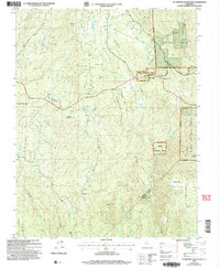 2004 Stumpfield Mountain2007 Print · USGSMariposa and Madera counties are captured here in the early 2000s as the Sierra foothills transitioned into the high forest. Researchers can locate remote landmarks like the Indian Peak School, the cemetery near Fox Creek, and the small settlement at Elliott Corner.
 - 2004 Map of Mariposa Grove, 2007 Print
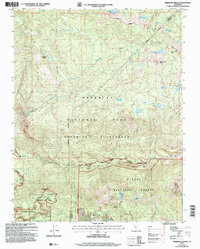 2004 Mariposa Grove2007 Print · USGSYosemite's high country is captured here during the early 2000s, showing the intersection of national park wilderness and forest lands. Researchers can trace the groves and landmarks of the Mariposa Grove, including the Grizzly Giant and the remote Star Mine.
 - 2004 Map of Mount Lyell, 2007 Print
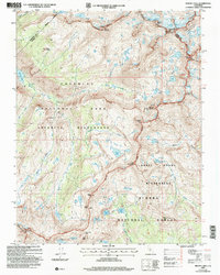 2004 Mount Lyell2007 Print · USGSThe High Sierra near the Yosemite-Madera border is captured here during the early 2000s, showcasing a landscape of glaciers and alpine summits. Trekkers and historians can trace routes through Isberg Pass, locate the Maclure Glacier, or find the source of the Merced River.
 - 2004 Map of Sing Peak, 2007 Print
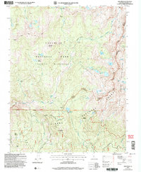 2004 Sing Peak2007 Print · USGSThe high Sierra backcountry at the turn of the millennium shows where national forest and park boundaries meet. Hikers and historians can trace high-altitude routes through Merced Pass, find the seasonal Buck Camp Summer Only, and locate the Prospect near Quartz Mountain.
 - 2004 Map of Musick Mountain, 2007 Print
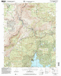 2004 Musick Mountain2007 Print · USGSThe High Sierra backcountry of Madera and Fresno counties comes into focus in this early 2000s study of the San Joaquin River corridor. Researchers can trace the industrial legacy of the Mammoth Pool Powerhouse alongside family landmarks like Hogue Ranch and Ross Cabin.2 unique versions available
 - 2004 Map of Cascadel Point, 2007 Print
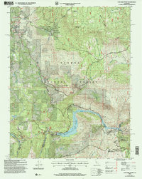 2004 Cascadel Point2007 Print · USGSAs the hydroelectric network matured in the early 2000s, this area of the Sierra Nevada foothills maintained its remote character. Genealogists and researchers can trace local landmarks like Chawanakee Sch, the settlement at Cascadel, and the historical Italian Bar.
 - 2004 Map of White Chief Mountain, 2007 Print
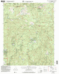 2004 White Chief Mountain2007 Print · USGSMadera County ranchlands and Sierra timber stands are detailed here at the start of the millennium. Researchers can trace historic land use at the Sivils Ranch (Site), the ancient sequoias of Shadow of the Giants, and the Soquel Meadow Ranch.
 - 2004 Map of Little Shuteye Peak, 2007 Print
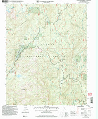 2004 Little Shuteye Peak2007 Print · USGSMadera County’s high sierra high country at the start of the millennium remains a landscape of seasonal camps and mountain peaks. Researchers can locate remote historical sites like Wagners Cow Camp and McSwain Mine or trace the early paths of Sky Ranch Road.
 - 2004 Map of Mt. Ritter, 2007 Print
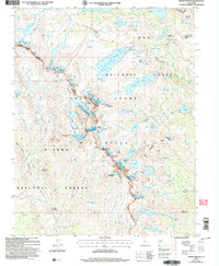 2004 Mt. Ritter2007 Print · USGSHigh Sierra crests and alpine basins define this Madera County wilderness at the start of the twenty-first century. Hikers and historians can trace the John Muir Scenic Trail past Thousand Island Lake or locate the site of the Minaret Mine beneath Volcanic Ridge.
 - 2004 Map of Fish Camp, 2007 Print
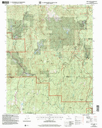 2004 Fish Camp2007 Print · USGSThe borderlands of Mariposa and Madera Counties are captured here during the early 2000s, showcasing the intersection of timber history and park land. Researchers can trace the legacy of mountain industry and indigenous sites at Harris Ranch Mill, Sugar Pine, and the Wassama Roundhouse State Historical Park.
 - 2004 Map of Balloon Dome, 2007 Print
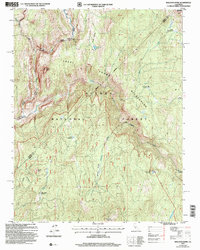 2004 Balloon Dome2007 Print · USGSThe Madera and Fresno county lines meet in the high Sierra during the early 2000s, showing a landscape defined by protected wilderness. Hikers and historians can trace the remote San Joaquin River canyon and landmarks like Balloon Dome or the Cassidy Bridge.
 - 2004 Map of Mammoth Pool Dam, 2007 Print
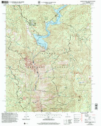 2004 Mammoth Pool Dam2007 Print · USGSThe high Sierra landscape during the early 2000s reveals a unique blend of hydroelectric infrastructure and remote wilderness near the Madera and Fresno county line. Researchers can trace the development of the San Joaquin River at the Mammoth Pool Reservoir and locate legacy sites like Wagner's Mammoth Pool Resort and Wieseman Mine.
 - 2004 Map of Piyau Dome, 2007 Print
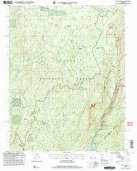 2004 Piyau Dome2007 Print · USGSMadera County’s high forest country is documented here in the early 2000s as it transitions from managed timberlands into protected wilderness areas. Map collectors can trace the layout of the Minarets Work Center, Topping Cow Camp, and the shore of the Mammoth Pool Reservoir.
 - 2004 Map of Cattle Mountain, 2007 Print
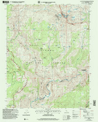 2004 Cattle Mountain2007 Print · USGSThe high Sierra backcountry is captured here in the early 2000s at the meeting of the Sierra National Forest and Inyo National Forest. Trace historic trails like the Mammoth Route and find remote landmarks such as the Open Pit Mine or Naked Lady Meadow.
 - 2004 Map of Shuteye Peak, 2007 Print
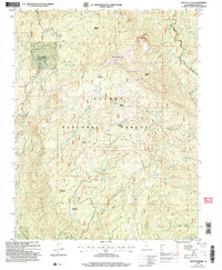 2004 Shuteye Peak2007 Print · USGSMadera County’s high Sierra backcountry is captured here during the early 2000s, showing a landscape of timber camps and fire lookouts. You can trace 4WD trails to historic spots like Central Camp, Whites Cabin, and the high-elevation Shuteye Peak Lookout.
 - 2004 Map of North Fork, 2007 Print
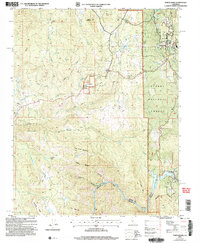 2004 North Fork2007 Print · USGSThe Madera County foothills are captured here in the early 2000s, showing a landscape defined by forest service lands and river power. Researchers can trace the Fresno Banner Mine, the North Fork Cemetery, and early settlements like Old Town and Church Ranch.
 - 2004 Map of Bass Lake, 2007 Print
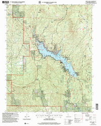 2004 Bass Lake2007 Print · USGSMadera County’s high country is captured here during the early 2000s, centered on the vital hydroelectric and recreational waters of Bass Lake. Researchers can locate civic landmarks like the Bass Lake Sch or trace historical sites such as Hele Ranch (Site) and Denver Church.
 - 2004 Map of Ahwahnee, 2007 Print
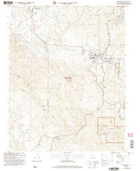 2004 Ahwahnee2007 Print · USGSThe foothills of Madera County come alive in this early 2000s study of the region's historic mining and cultural landscapes. Genealogists and historians can trace the legacy of local industry through the Rich Hill and Texas Flat mines or locate heritage sites like Wassama School and the Wassama Roundhouse.2 unique versions available
 - 2004 Map of Auberry, 2007 Print
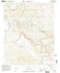 2004 Auberry2007 Print · USGSFresno County's foothill communities are captured here in the early 2000s, showing the junction of forest lands and local settlements. Genealogists can locate family landmarks such as the Cem near the Indian Mission and the Auberry Union Sch.
 - 2004 Map of Millerton Lake East, 2007 Print
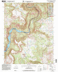 2004 Millerton Lake East2007 Print · USGSThe Sierra foothills and the San Joaquin River corridor are captured here at the turn of the millennium. Researchers can trace the legacy of ranching and early industry through sites like Auberry Cemetery, Sullivan Mine, and the Kerckhoff Powerhouse.2 unique versions available
 - 2012 Map of Firebaugh, 2012 Print
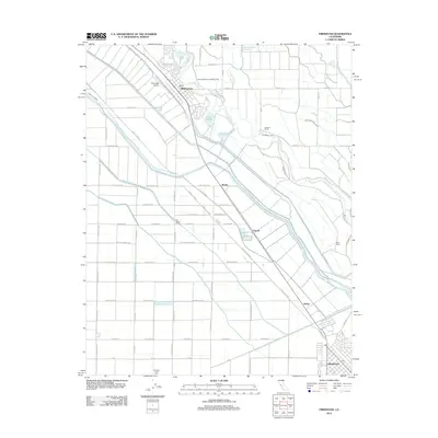 2012 Firebaugh2012 Print · USGSThe Central Valley towns of Firebaugh and Mendota are shown in 2012 amidst a complex network of industrial canals and irrigation systems. Researchers can trace the agricultural footprint of the region through sites like Vista Del Llano Farm, the Delta-Mendota Canal, and Firebaugh Airport.
 - 2012 Map of Gravelly Ford, 2012 Print
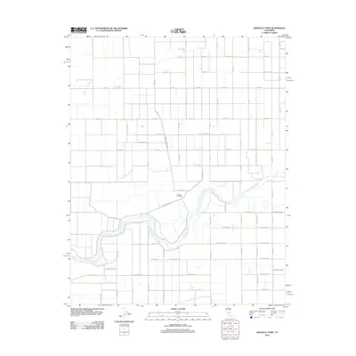 2012 Gravelly Ford2012 Print · USGSClear Lake and the surrounding Iowa prairies are captured in the early 1950s, showing a landscape defined by lakeside recreation and rail transport. Locate family landmarks like the Pleasant View School or track the route of the Mason City & Clear Lake Railroad.
 - 2012 Map of Biola, 2012 Print
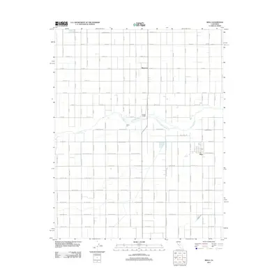 2012 Biola2012 Print · USGSThe Central Valley agricultural grid is seen here in the early twenty-first century, centered on the unincorporated community of Biola. Genealogists and local historians can trace landmarks like Bethany Cem and the irrigation network of Herndon Canal and Ripperdan Ditch.
 - 2012 Map of Madera, 2012 Print
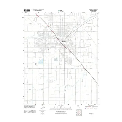 2012 Madera2012 Print · USGSMadera and the surrounding San Joaquin Valley farmlands are shown here in the early twenty-first century as a bustling agricultural and transit hub. Genealogists and historians can trace local landmarks like Arbor Vitae Cem, the Italian Swiss Colony, and the historic siding at Borden.
Showing maps 1-25 of 247
Top cities of Madera County
Frequently asked questions
- What are the different types of historical maps available for Madera County?
- What is the oldest map of Madera County?
- Where can I purchase historical maps of Madera County for my home or office?
- Where can I download high-res historical maps of Madera County?
- Are there historical topographic maps available for Madera County?
- Is there historical aerial imagery available for Madera County?
- Where are historical maps of Madera County sourced from?