1980s Maps of Modoc County, California
Explore 24 historic maps of Modoc County from the 1980s. These maps offer a rare glimpse into what life looked like during the 1980s — showing old roads, neighborhoods, homes, and landmarks that have changed or disappeared over time.
Whether you're researching your family's past, planning a metal detecting trip, or studying how Modoc County's landscape evolved across the 1980s, these high-resolution maps are a powerful tool for exploring the history of this region.
- Focus on a specific era: All maps on this page are from the 1980s, giving you a focused view of this time period.
- See what’s changed: Compare century-old streets, trails, and buildings to today's modern landscape using overlays and satellite layers.
- Research with precision: Use these maps for genealogy, historical research, land use analysis, or educational projects.
- View, download, or print: Maps are fully viewable online in high resolution, and can be downloaded or printed for your own records.
Start exploring Modoc County's history through authentic maps from the 1980s. This is your window into the past.
Modoc County, CA maps
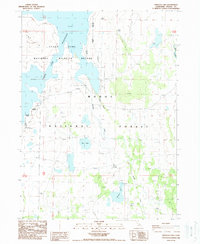
(24)- 1980 Map of Big Hat Mtn
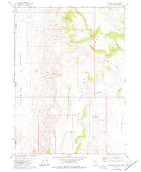 1980 Big Hat Mtn1980 Print · USGSThe high desert of Washoe County and the California border are captured here during the 1970s, showcasing a landscape defined by ranching and volcanic geology. Researchers can trace remote livestock outposts like Long Ranch and topographic landmarks such as The Craters and Big Hat Mountain.2 unique versions available
 - 1980 Map of Pegleg Canyon
 1980 Pegleg Canyon1980 Print · USGSThe California-Nevada borderlands are captured in the early eighties as a landscape of remote ranching and rugged desert hydrology. Trace early water rights and land use at the Murphy Ranch, Pegleg Reservoir, and a geothermal Spring (Hot).
 - 1981 Map of High Rock Canyon
 1981 High Rock Canyon1981 Print · USGSNorthwestern Nevada at the dawn of the eighties remains a landscape of remote outposts and dramatic geological shifts. Genealogists and historians can trace the sites of Leadville, isolated features like Powers Well, and the vast boundaries of the Black Rock Desert.2 unique versions available
 - 1983 Map of Cedarville
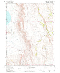
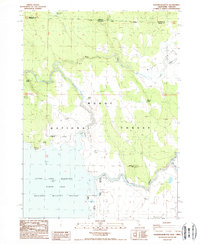
 1983 Cedarville1983 Print · USGSNortheastern California at the turn of the 1980s reveals a landscape of high-altitude basins and remote mountain ranges. Researchers can trace historic mining operations at Yellow Jacket Mines, locate the XL Ranch Indian Reservation, and follow the Southern Pacific line through Willow Ranch.2 unique versions available
 - 1983 Map of Alturas
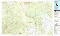
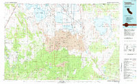
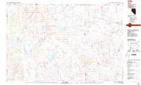
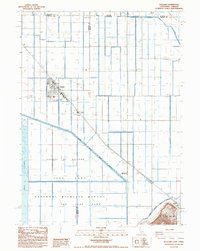
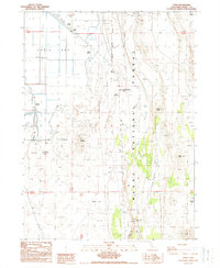
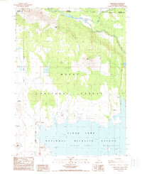
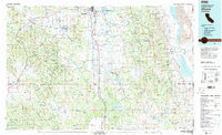 1983 Alturas1983 Print · USGSNortheastern California during the early 1980s reveals a high-desert landscape shaped by volcanic plateaus and the massive Warner Mountains. Researchers can trace the rail corridor of the Southern Pacific and locate small ranching communities like Likely, Madeline, and McArthur along the Pit River.2 unique versions available
 - 1984 Map of McArthur
 1984 McArthur1984 Print · USGSThe northern California high country near McArthur is captured in the mid-1980s, showcasing a landscape of volcanic peaks and river valleys. Genealogists and historians can trace the rail connections at Nubieber and Bieber, or locate family sites near Pittville and Glenburn.
 - 1984 Map of Tulelake, 1985 Print
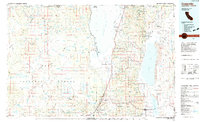
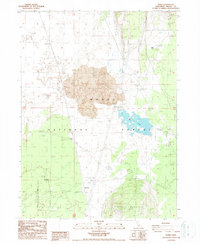
 1984 Tulelake1985 Print · USGSThe high desert and volcanic basins of the California-Oregon border are captured here in the mid-eighties. Researchers can trace the legacy of the Southern Pacific railroad through settlements like Stronghold, Newell, and the sprawling Lava Beds National Monument.2 unique versions available
 - 1987 Map of Vya
 1987 Vya1987 Print · USGSThe high-desert tri-state border region of Nevada, Oregon, and California is captured here in the late 1980s. Researchers can trace remote desert outposts like Vya, the Virgin Mine, and the unique hydrologic features of Massacre Lake and Hanging Rock Canyon.2 unique versions available
 - 1988 Map of Kephart
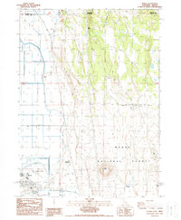
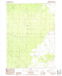
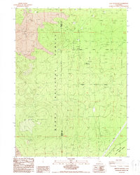
 1988 Kephart1988 Print · USGSThe high desert of northeastern California is captured here in the late eighties, documenting the remote crossroads of the Modoc National Forest. Researchers can trace the layout of the Long Bell State Game Refuge and locate isolated water sources like Quaking Aspen Spring and Little Quaking Aspen Spring.
 - 1988 Map of Tulelake
 1988 Tulelake1988 Print · USGSTulelake and the reclaimed wetlands of the Klamath Basin are captured in the late eighties as a highly organized agricultural and wildlife corridor. Genealogists and historians can trace the rail-side community of Tuber, the airfield, and the boundaries of the League of Nations National Wildlife Refuge.
 - 1988 Map of The Panhandle
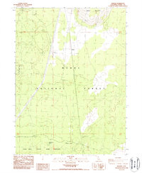
 1988 The Panhandle1988 Print · USGSThe volcanic terrain of Modoc County meets industrial agriculture in the late eighties as the basin's water is managed for conservation. Trace the intersection of Lava Beds National Monument and the grain industry at Hannchen Grain Elevator and Captain Jacks Stronghold.
 - 1988 Map of Newell
 1988 Newell1988 Print · USGSThe high-desert borderlands of Modoc County are captured here in the late eighties, showing the intersection of heavy reclamation and ranching. Genealogists and historians can locate family holdings like Old Elliot Ranch and Mike Faine Ranch near the Tulelake Airport.
 - 1988 Map of Rimrock Lake
 1988 Rimrock Lake1988 Print · USGSModoc County at the end of the eighties was a landscape of remote forest tracts and essential water points. Genealogists and historians can locate ranching landmarks like Horse Camp, Bob Young Flat, and the isolated Flukey Well.
 - 1988 Map of Double Head Mtn
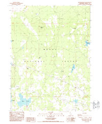
 1988 Double Head Mtn1988 Print · USGSModoc County's volcanic high country and expansive waters are documented here in the late eighties. Researchers can trace the rugged boundaries of the Modoc National Forest and locate specific features like the Corral and Bird Island.
 - 1988 Map of Knobcone Butte
 1988 Knobcone Butte1988 Print · USGSThis high-desert forest landscape in northeastern California shows the region's mid-century water and power infrastructure. Researchers can locate Browns Well (Site) and trace water sources like Hog Lake and Spaulding Reservoir among the volcanic ridges.
 - 1988 Map of Caldwell Butte
 1988 Caldwell Butte1988 Print · USGSThe volcanic landscape of the Siskiyou and Modoc borderlands is revealed in this late-century survey of the Lava Beds. Local historians can trace indigenous defensive sites at the Indian Fortifications and explore subterranean landmarks like Captain Jacks Ice Cave.
 - 1988 Map of Pinnacle Lake
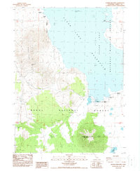
 1988 Pinnacle Lake1988 Print · USGSThe Modoc plateau in the late 1980s reveals a specialized landscape of conservation and water storage. Researchers can trace the protected boundaries of the Clear Lake National Wildlife Refuge and locate remote water sources like Pinnacle Lake and Red Lake.
 - 1988 Map of Perez
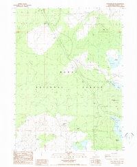
 1988 Perez1988 Print · USGSThe Modoc plateau in the late eighties reveals a landscape of volcanic features and railroad history within the Modoc National Forest. Genealogists and historians can trace the Southern Pacific line to settlements like Perez and Tionesta or locate the Battle of the Lake 1873 site.
 - 1988 Map of Copic
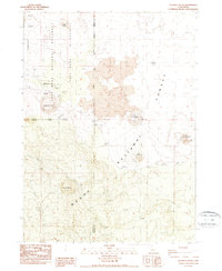
 1988 Copic1988 Print · USGSNortheastern California's high desert and marshlands are documented here during the late 1980s, centered on the historic Copic area. Local historians can locate specific conflict markers like the Battle of Lands Ranch (Site) or trace family-named landmarks including Harvey Jones Butte and Stone Island.
 - 1988 Map of West of Kephart
 1988 West of Kephart1988 Print · USGSIn the late twentieth century, this volcanic high-country survey captures the industrial and natural borders of the Siskiyou and Modoc line. Researchers can trace the layout of Old Camp One and locate specialized sites like the Pumice Mine.
 - 1988 Map of Carr Butte
 1988 Carr Butte1988 Print · USGSThe California-Oregon borderlands in the late 1980s reveal a high-desert landscape centered on the Clear Lake Reservoir. Local historians and researchers can trace the rugged topography of Modoc National Forest through features like Hopeless Pass, Fiddlers Green, and Walter Flat.
 - 1988 Map of Sagebrush Butte
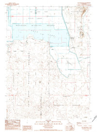
 1988 Sagebrush Butte1988 Print · USGSThe high-desert border of California and Oregon is captured in the late eighties, featuring the intersection of major wildlife and forest reserves. Genealogists and historians can trace boundary lines and water rights through features like Clear Lake Reservoir, Sagebrush Butte, and Willow Valley Reservoir.
 - 1988 Map of Spaulding Butte
 1988 Spaulding Butte1988 Print · USGSIn the high-country of Northeastern California during the late eighties, this map shows a landscape of volcanic buttes and critical water management. Trace features like Damons Cave, the Quarantine Station, and several reservoirs including Whitney and Henski.
 - 1988 Map of Lone Pine Butte
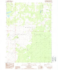 1988 Lone Pine Butte1988 Print · USGSThe Modoc National Forest landscape appears in the late eighties as a land of vital water management and high-country landmarks. Researchers can trace the placement of water sources like Davis Spring, Badger Well, and Dalton Reservoir across the terrain.
End of results
Showing maps 1-24 of 24
Top cities of Modoc County
- Alturas historical maps
- Cedarville historical maps
- Adin historical maps
- Fort Bidwell historical maps
- Eagleville historical maps
Frequently asked questions
- What are the different types of historical maps available for Modoc County?
- What is the oldest map of Modoc County?
- Where can I purchase historical maps of Modoc County for my home or office?
- Where can I download high-res historical maps of Modoc County?
- Are there historical topographic maps available for Modoc County?
- Is there historical aerial imagery available for Modoc County?
- Where are historical maps of Modoc County sourced from?