2000s (21st Century) Maps of Modoc County, California
Explore 365 historic maps of Modoc County from the 2000s (21st Century). These maps offer a rare glimpse into what life looked like during the 2000s — showing old roads, neighborhoods, homes, and landmarks that have changed or disappeared over time.
Whether you're researching your family's past, planning a metal detecting trip, or studying how Modoc County's landscape evolved across the 2000s, these high-resolution maps are a powerful tool for exploring the history of this region.
- Focus on a specific era: All maps on this page are from the 2000s, giving you a focused view of this time period.
- See what’s changed: Compare century-old streets, trails, and buildings to today's modern landscape using overlays and satellite layers.
- Research with precision: Use these maps for genealogy, historical research, land use analysis, or educational projects.
- View, download, or print: Maps are fully viewable online in high resolution, and can be downloaded or printed for your own records.
Start exploring Modoc County's history through authentic maps from the 2000s. This is your window into the past.
Modoc County, CA maps
(365)- 2011 Map of Pegleg Canyon, 2011 Print
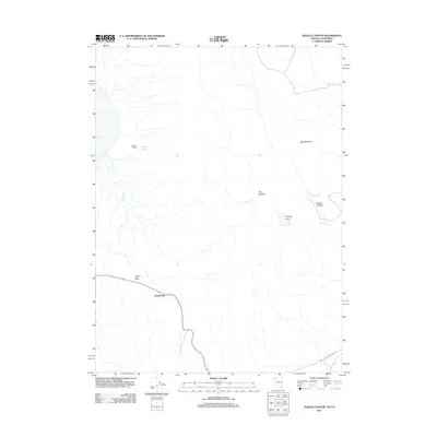 2011 Pegleg Canyon2011 Print · USGSIn the high-desert borderlands of Washoe County, this early twenty-first-century survey documents a landscape of isolated ranching and remote outposts. Researchers can locate the Hausen Post Office, the settlement of Reederville, and vital water sources like Pegleg Reservoir.
 - 2011 Map of Fortynine Mountain, 2011 Print
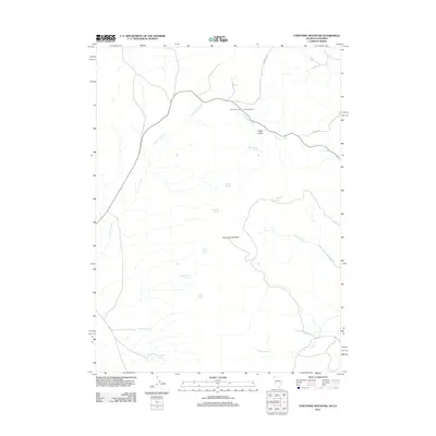 2011 Fortynine Mountain2011 Print · USGSWashoe County's high-desert landscape appears in the early twenty-first century, centered on the historic Fortynine Ranch. Researchers can trace the path of the Applegate Trl and locate vital water sources like Big Spring and Koenig Spring.
 - 2011 Map of Big Hat Mountain, 2011 Print
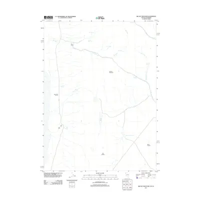 2011 Big Hat Mountain2011 Print · USGSWashoe County ranching and high desert water sources are documented here in the early 2000s. Researchers can locate family-named sites such as Long Ranch and Miller Ranch, alongside remote features like Crampton Troughs and The Craters.
 - 2011 Map of Carter Reservoir, 2011 Print
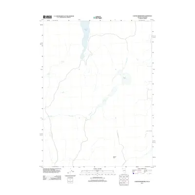 2011 Carter Reservoir2011 Print · USGSWashoe County and the Nevada-California borderlands are documented here in the early twenty-first century, showing a landscape defined by water and historical passage. Researchers can trace the path of the Applegate Trl and find named water sources like Carter Reservoir and New Year Lake.
 - 2011 Map of Barrel Springs, 2011 Print
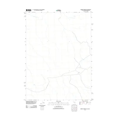 2011 Barrel Springs2011 Print · USGSWashoe County's high-desert borderlands are documented here at the start of the twenty-first century, showing the remote intersection of three states. Researchers can trace essential water sources like Coleman Spring, Twin Lakes, and the route of Barrel Springs Rd.
 - 2011 Map of Hays Canyon, 2011 Print
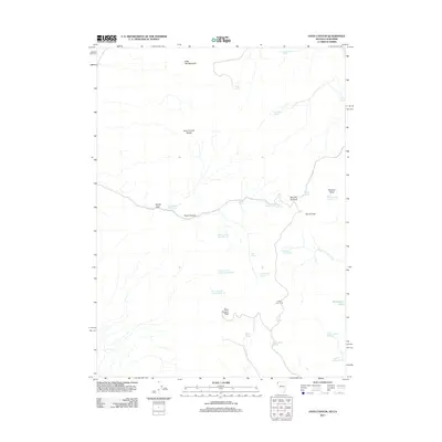 2011 Hays Canyon2011 Print · USGSWashoe County and the Nevada-California borderlands are shown here in the early twenty-first century, centered on high-desert peaks and critical water sources. Trace the locations of historic sites like Indian Pole Camp and numerous remote watering points such as Pick and Shovel Springs Number One and Hayes Spring.
 - 2011 Map of Crooks Meadow, 2011 Print
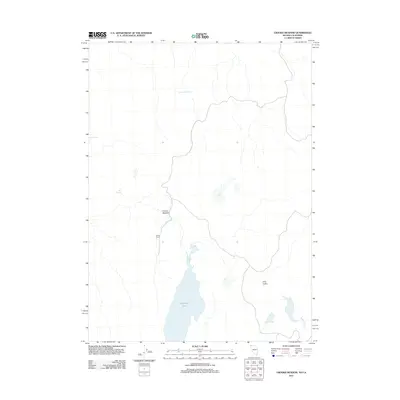 2011 Crooks Meadow2011 Print · USGSWashoe County ranching land and high-desert basins are captured here in the early twenty-first century. Researchers can trace remote water sources and landmarks like Crooks Ranch, Pennywinkle Holes, and the seasonal expanse of New Year Lake.
 - 2012 Map of Boyd Spring, 2012 Print
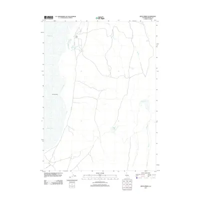 2012 Boyd Spring2012 Print · USGSSurprise Valley ranching and water management are the focus of this Modoc County survey from the early 2000s. Researchers can trace the layout of Boyd Spring Ranch and locate seasonal features such as Mud Lake and Hawk Reservoir.
 - 2012 Map of Infernal Caverns, 2012 Print
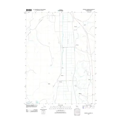 2012 Infernal Caverns2012 Print · USGSRanching and irrigation systems define this Modoc County landscape in the early twenty-first century. Genealogists and local historians can trace family-named sites such as Fitzhugh Creek Ranch, McGarva, and Williams along the South Fork Pit River valley.
 - 2012 Map of Alturas, 2012 Print
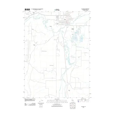 2012 Alturas2012 Print · USGSThe Modoc County seat of Alturas is captured here in the early 2000s at the confluence of the north and south forks of the Pit River. Genealogists and local historians can trace the town’s footprint alongside rural landmarks like The Three Sisters, Signal Butte, and the Westside Canal.
 - 2012 Map of Tulelake, 2012 Print
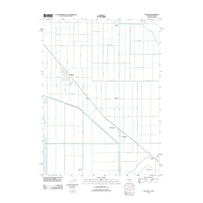 2012 Tulelake2012 Print · USGSThe reclaimed basin of the California-Oregon border is shown in detail during the early 2010s, defined by its rigid irrigation grid and rail history. Genealogists and historians can trace local rural life through labels for Tulelake, Stronghold, and the Malin Airstrip.
 - 2012 Map of Hansen Island, 2012 Print
 2012 Hansen Island2012 Print · USGSSurprise Valley in the early twenty-first century reveals a remote landscape centered on the fluctuating waters of Middle Alkali Lake. Researchers can trace old rural access routes like Patterson Ln and the boundaries of Hansen Island.
 - 2012 Map of Dorris Reservoir, 2012 Print
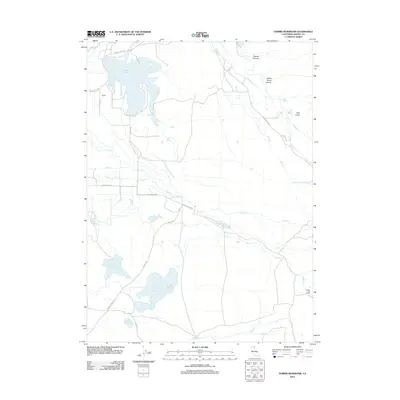 2012 Dorris Reservoir2012 Print · USGSModoc County ranchlands appear in the early twenty-first century as a network of reservoirs and rural outposts. Genealogists and local historians can trace family land at Yankee Jim Ranch and Brooks or follow the waters of Dorris Reservoir.
 - 2012 Map of Leonards Hot Springs, 2012 Print
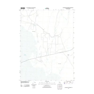 2012 Leonards Hot Springs2012 Print · USGSSurprise Valley and the Modoc high desert appear in this early twenty-first century study of eastern California. Researchers can trace the local drainage of Sand Cr and the geothermal activity at Leonards Hot Springs near the edge of Middle Alkali Lake.
 - 2012 Map of Larkspur Hills, 2012 Print
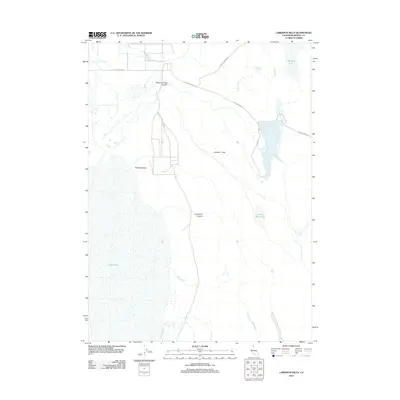 2012 Larkspur Hills2012 Print · USGSModoc County high country in the early twenty-first century reveals a rugged landscape of seasonal basins and essential springs. Researchers can trace the water-management history of the region via Fee Reservoir, Conlan Spring, and Big Mud Lake.
 - 2012 Map of McGinty Point, 2012 Print
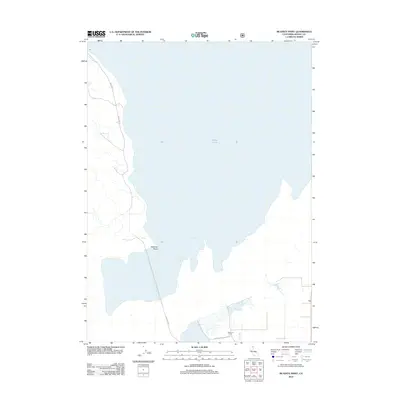 2012 McGinty Point2012 Print · USGSThe eastern shores of Modoc County are captured here in the early 21st century as the landscape borders the high desert waters. Researchers can trace the shoreline around McGinty Point or locate the ranching operations at Lakeshore Ranch near Davis Cr.
 - 2012 Map of Willow Ranch, 2012 Print
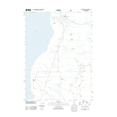 2012 Willow Ranch2012 Print · USGSThe Oregon-California border comes alive in the early twenty-first century, showing the ranching settlements along the eastern shore of Goose Lake. Genealogists and historians can trace family locations at Willow Ranch, New Pine Creek, and the Willow Ranch Cem.
 - 2012 Map of Washington Mountain, 2012 Print
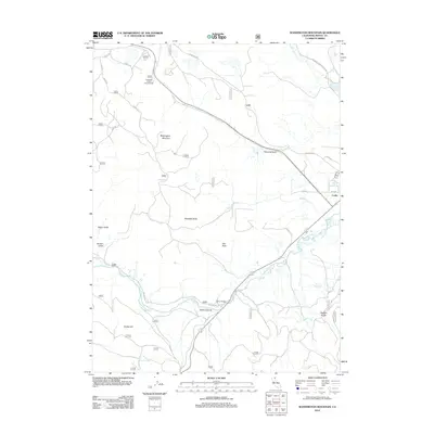 2012 Washington Mountain2012 Print · USGSModoc County’s high-desert terrain is captured here in the early twenty-first century, centered on the Pit River corridor. Genealogists and local historians can trace the geography around Canby, identifying landmarks like Canby Bridge, City Rock, and Howards Gulch Campground.
 - 2012 Map of Beaver Mountain, 2012 Print
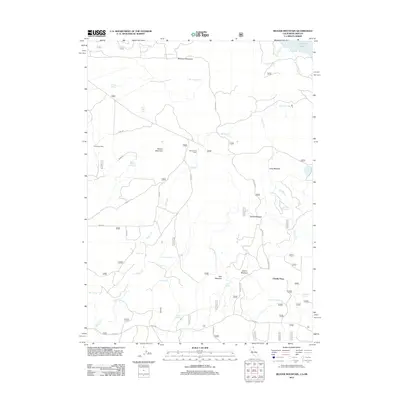 2012 Beaver Mountain2012 Print · USGSHigh-altitude meadows and mountain peaks define this Modoc County landscape during the early twenty-first century. Researchers can trace land-use patterns through remote outposts like Beaver Dam Cabin and water sources such as Coffee Mill Spring and Renner Lake.
 - 2012 Map of Fort Bidwell, 2012 Print
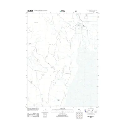 2012 Fort Bidwell2012 Print · USGSFort Bidwell and the Surprise Valley basin are captured here in the early twenty-first century, showing the remote settlement at the edge of the Warner Mountains. Researchers can trace historic routes through Fandango Pass or locate landmarks like Hot Spring and the Fort Bidwell Airport.
 - 2012 Map of Snake Lake, 2012 Print
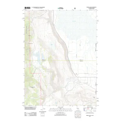 2012 Snake Lake2012 Print · USGSSurprise Valley at the start of the twenty-first century reveals a remote landscape of ranching and high-desert hydrology. Researchers can trace the water systems of Bare Ranch through Bare Creek Ditch and locate landmarks like Sworinger Reservoir.
 - 2012 Map of Eagleville, 2012 Print
 2012 Eagleville2012 Print · USGSSurprise Valley ranchlands and the Eagleville settlement are captured here in the early twenty-first century. Genealogists and local historians can trace legacy properties like Cockrell Ranch or locate the Eagleville Cem and Menlo Baths.
 - 2012 Map of Jacks Butte, 2012 Print
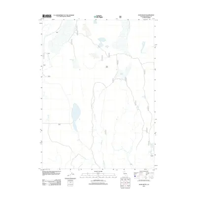 2012 Jacks Butte2012 Print · USGSHigh-desert ranching and water management define this portion of Modoc County in the early twenty-first century. Researchers can trace the legacy of remote livestock operations through landmarks like Hastings Ranch, Essex Spring, and Antelope Reservoir.
 - 2012 Map of Mount Bidwell, 2012 Print
 2012 Mount Bidwell2012 Print · USGSThe high Warner Mountains at the border of Oregon and California are captured here in the early 2010s. Researchers can locate remote land-use sites like Larry Flat Campground, the Fort Bidwell Airport, and the Lilly Lake Picnic Area.
 - 2012 Map of Hermit Butte, 2012 Print
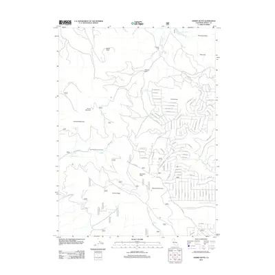 2012 Hermit Butte2012 Print · USGSModoc County’s high volcanic ridges and spring-fed creeks are captured here during the early twenty-first century. Genealogists and researchers can trace backcountry water sources like Kelly Spring and Jackson Cabin Spring or follow historic routes such as Whiskey Flat Trl.
Showing maps 1-25 of 365
Top cities of Modoc County
- Alturas historical maps
- Cedarville historical maps
- Adin historical maps
- Fort Bidwell historical maps
- Eagleville historical maps
Frequently asked questions
- What are the different types of historical maps available for Modoc County?
- What is the oldest map of Modoc County?
- Where can I purchase historical maps of Modoc County for my home or office?
- Where can I download high-res historical maps of Modoc County?
- Are there historical topographic maps available for Modoc County?
- Is there historical aerial imagery available for Modoc County?
- Where are historical maps of Modoc County sourced from?