2020s Maps of Modoc County, California
Explore 92 historic maps of Modoc County from the 2020s. These maps offer a rare glimpse into what life looked like during the 2020s — showing old roads, neighborhoods, homes, and landmarks that have changed or disappeared over time.
Whether you're researching your family's past, planning a metal detecting trip, or studying how Modoc County's landscape evolved across the 2020s, these high-resolution maps are a powerful tool for exploring the history of this region.
- Focus on a specific era: All maps on this page are from the 2020s, giving you a focused view of this time period.
- See what’s changed: Compare century-old streets, trails, and buildings to today's modern landscape using overlays and satellite layers.
- Research with precision: Use these maps for genealogy, historical research, land use analysis, or educational projects.
- View, download, or print: Maps are fully viewable online in high resolution, and can be downloaded or printed for your own records.
Start exploring Modoc County's history through authentic maps from the 2020s. This is your window into the past.
Modoc County, CA maps
(92)- 2021 Map of Pegleg Canyon, 2021 Print
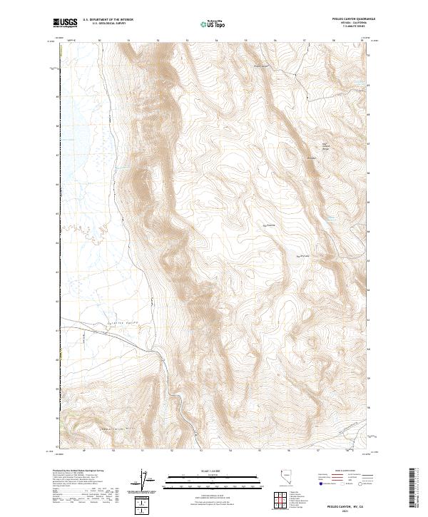 2021 Pegleg Canyon2021 Print · USGSWashoe County's high desert is captured here in the early twenty-first century, showing a landscape defined by seasonal water and cattle-country roads. Outdoor enthusiasts and researchers can trace the routes through Pegleg Canyon or locate reliable water at Murphy Spring and Pegleg Reservoir.
 - 2021 Map of Crooks Meadow, 2021 Print
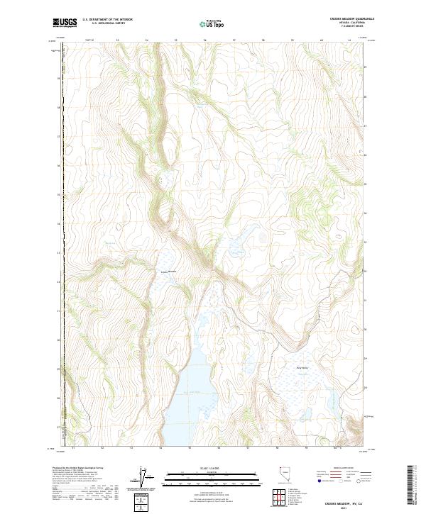 2021 Crooks Meadow2021 Print · USGSThe high-desert borderlands of Nevada and California are mapped here in the early 21st century. Researchers can trace vital water sources and landmarks like New Year Lake, Crooks Meadow, and the isolated Holy Lake.
 - 2021 Map of Carter Reservoir, 2021 Print
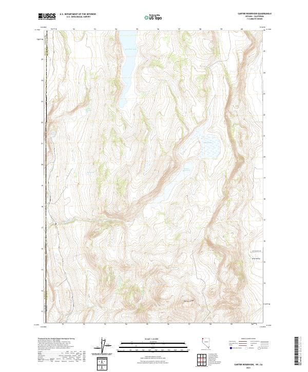 2021 Carter Reservoir2021 Print · USGSThis high-desert borderland between Nevada and California remained a landscape of isolated springs and seasonal basins as of the early twenty-first century. Researchers can trace the water sources vital to this arid region, from New Year Lake to Leonards Hot Springs and Metzker Peak.
 - 2021 Map of Fortynine Mountain, 2021 Print
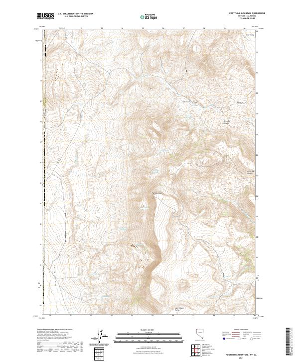 2021 Fortynine Mountain2021 Print · USGSThe high desert border between Nevada and California comes into focus in this contemporary survey of the Hays Canyon Range. Researchers can trace the essential water network of the region through Quaking Asp Spring, Fortynine Creek, and Sagebrush Spring.
 - 2021 Map of Big Hat Mountain, 2021 Print
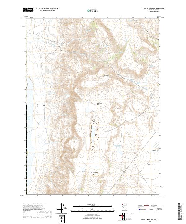 2021 Big Hat Mountain2021 Print · USGSWashoe County's high desert landscape near the California border is revealed in this modern survey of the Hays Canyon Range. Researchers can trace essential water sources like Rimrock Spring and Roe Deer Spring or examine the geological formations at The Craters.
 - 2021 Map of Barrel Springs, 2021 Print
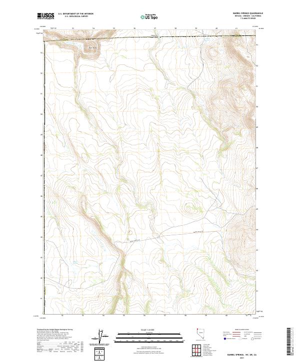 2021 Barrel Springs2021 Print · USGSNorthwestern Nevada’s high desert landscape appears in great detail in this recent survey of the tri-state border region. Trace the remote cattle-country routes along BARREL SPRINGS RD and locate isolated water sources like Coleman Spring and Twelvemile Cr.
 - 2021 Map of Hays Canyon, 2021 Print
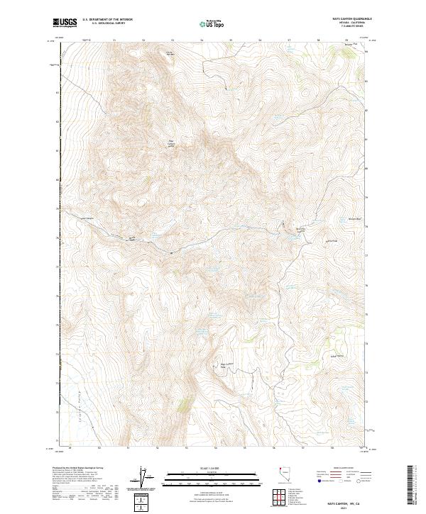 2021 Hays Canyon2021 Print · USGSWashoe County's high-desert peaks and natural springs are captured here during the early twenty-first century. Genealogists and historians can trace family-named landmarks like Bert Fitz Summit and locate remote water sources such as Pick and Shovel Springs Number One.
 - 2021 Map of Leonards Hot Springs, 2021 Print
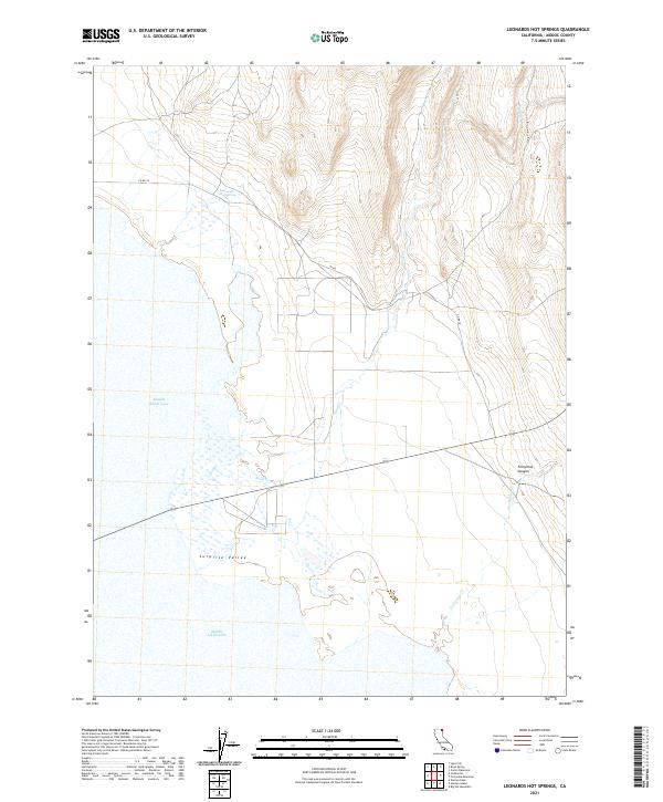 2021 Leonards Hot Springs2021 Print · USGSSurprise Valley and the high-desert basin of Modoc County appear here in the early twenty-first century. Researchers can trace the drainage of Sand Cr and Fortynine Cr into Middle Alkali Lake and locate the geothermal Leonards Hot Springs.
 - 2021 Map of Likely, 2021 Print
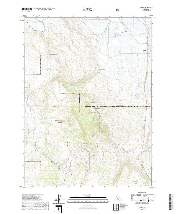 2021 Likely2021 Print · USGSThe community of Likely and the South Fork Pit River valley are captured here in 2021, showing the area's mix of ranching land and high-desert wilderness. Trace local history through the Likely Cemetery or explore the mountain terrain surrounding the Likely Mtn Lookout and Montgomery Canyon.
 - 2021 Map of Boles Meadow West, 2021 Print
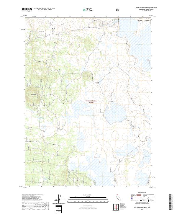 2021 Boles Meadow West2021 Print · USGSModoc County’s high forest and rangeland are documented here in the early twenty-first century. Researchers can trace the water infrastructure of the Modoc National Forest, from the broad Boles Meadow to the Surveyors Valley Reservoir.
 - 2021 Map of Eagle Peak, 2021 Print
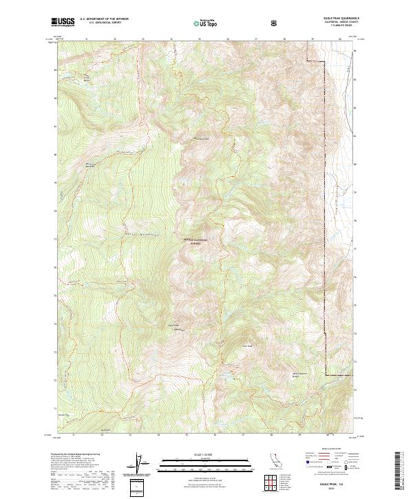 2021 Eagle Peak2021 Print · USGSHigh in the Warner Mountains during the early 2020s, this forest survey documents the remote peaks and alpine hydrology of Modoc County. Hikers and historians can trace high-country routes like the Summit Trl and find landmarks such as Modoc Natural Bridge and Eagle Peak.
 - 2021 Map of Dorris Reservoir, 2021 Print
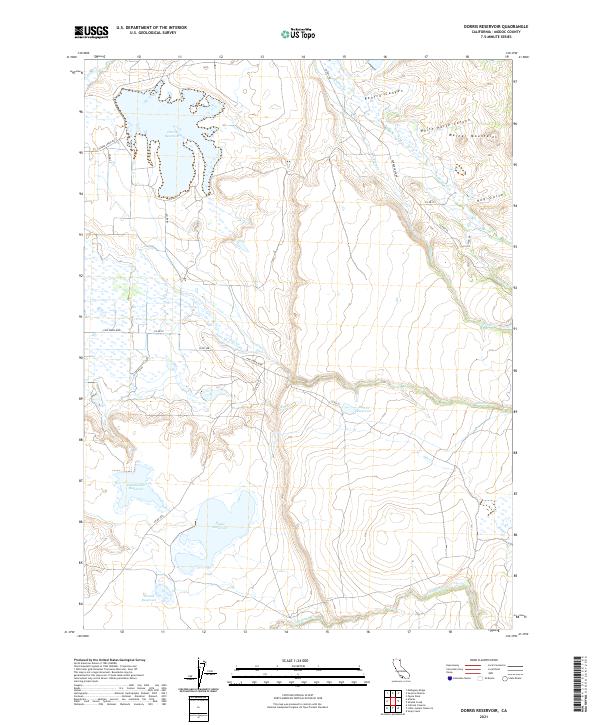 2021 Dorris Reservoir2021 Print · USGSModoc County’s high-desert water network is documented in this contemporary survey of the eastern valley floor. Historians and land managers can trace the essential irrigation and storage system through Dorris Reservoir, Pine Cr Reservoir, and Porter Reservoir.
 - 2021 Map of Sugar Hill, 2021 Print
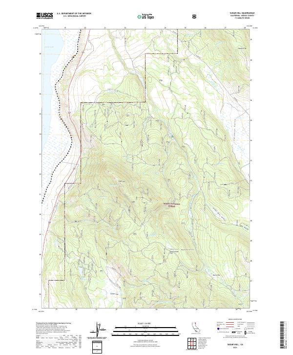 2021 Sugar Hill2021 Print · USGSThe high timber and alpine flats of Modoc County are captured here in the 2020s, showing a landscape defined by ranching and forestry. Researchers can trace the historic Fandango route and locate remote landmarks like Briles Reservoir and Sugar Hill.
 - 2021 Map of Shields Creek, 2021 Print
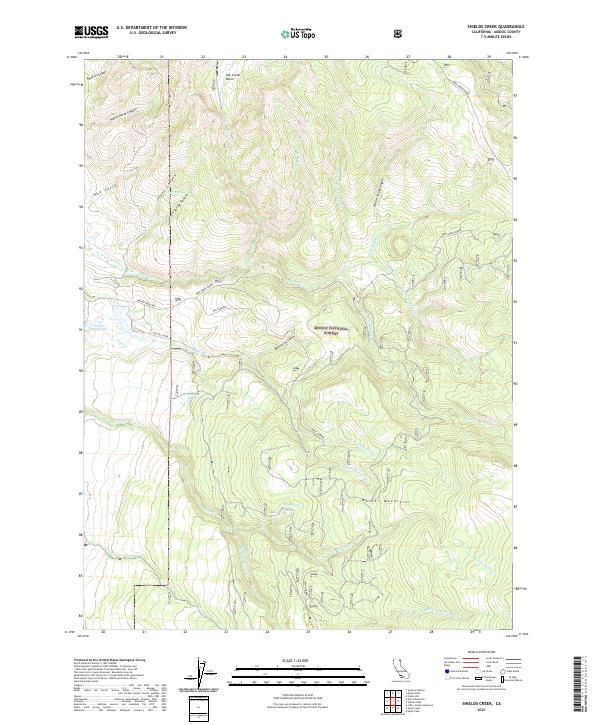 2021 Shields Creek2021 Print · USGSThe high timberlands of Modoc County are captured here in the early twenty-first century, showing the intricate drainages of the Warner Mountains. Researchers can trace remote water sources like Fitzhugh Springs and Pine Spring or follow forest routes along Shields Creek.
 - 2021 Map of Jess Valley, 2021 Print
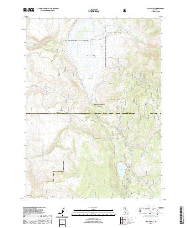 2021 Jess Valley2021 Print · USGSThe Modoc high country is captured here in the early twenty-first century, showcasing the intersection of the Warner Mountains and the Modoc National Forest. Researchers can trace the headwaters of the S Fork Pit River and locate remote landmarks like Blue Lake and McKabe Flat.
 - 2021 Map of Hansen Island, 2021 Print
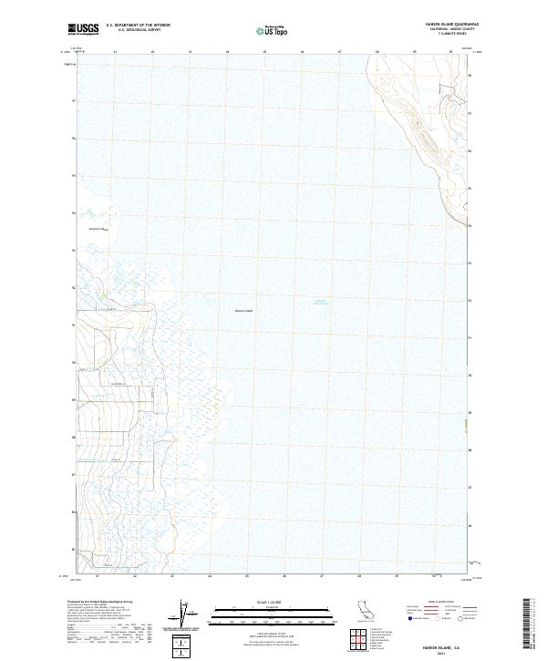 2021 Hansen Island2021 Print · USGSModoc County’s high desert landscape is documented here in the early 2020s as seasonal waters gather in the Great Basin. Researchers can trace the local road network and water features like Middle Alkali Lake, Hansen Island, and Patterson Ln.
 - 2021 Map of Emerson Peak, 2021 Print
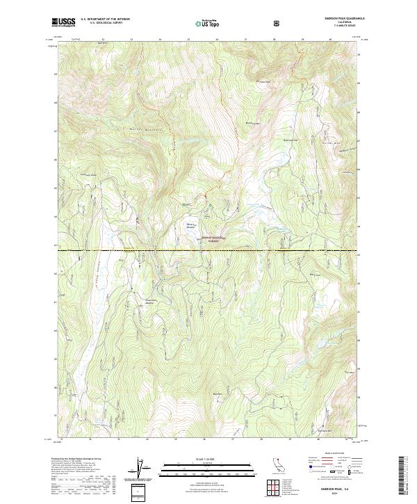 2021 Emerson Peak2021 Print · USGSThe Warner Mountains in the early twenty-first century offer a look at the remote intersection of Modoc and Lassen Counties. Outdoorsmen and historians can trace the paths of the Summit Trl or locate high-altitude landmarks like Lost Lake and Patterson Meadow.
 - 2021 Map of Infernal Caverns, 2021 Print
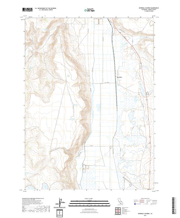 2021 Infernal Caverns2021 Print · USGSModoc County’s agricultural valley and canyon lands are captured here in the early twenty-first century. Researchers can trace the legacy of local water rights and transit via McGarva Reservoir, the Litt Modoc Line Rail Trl, and the namesake McArthur settlement.
 - 2021 Map of Alturas, 2021 Print
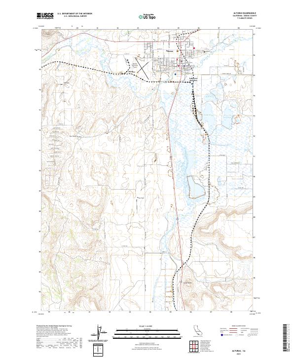 2021 Alturas2021 Print · USGSModern-day Modoc County reveals a landscape where the high desert meets the wetlands of the Modoc National Wildlife Refuge. Genealogists and historians can trace the streets of Alturas, locating the Modoc County Courthouse and the Alturas Cem near the forks of the Pit River.
 - 2021 Map of Little Juniper Reservoir, 2021 Print
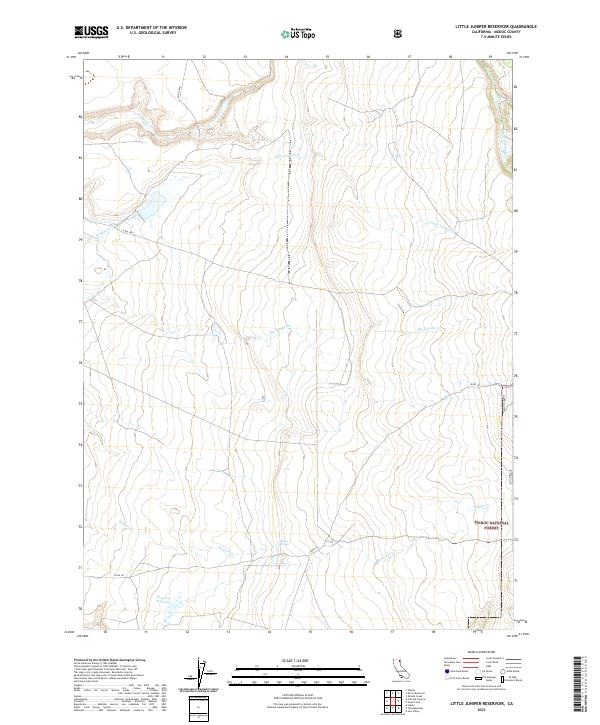 2021 Little Juniper Reservoir2021 Print · USGSHigh-desert ranching country and the Modoc National Forest are shown here as they appeared in the early 2020s. Researchers can trace remote water sources and cattle infrastructure at Flournoy Reservoir, Nelson Springs, and Big Juniper Cr.
 - 2021 Map of Weed Valley, 2021 Print
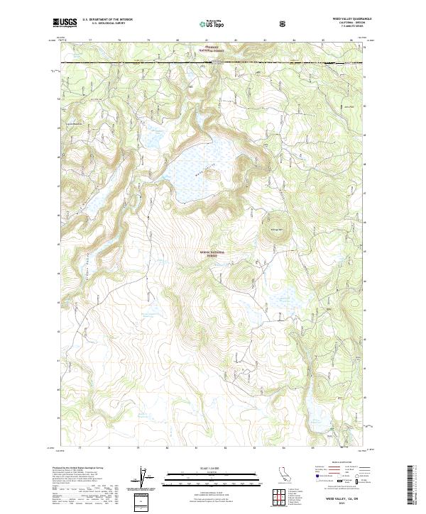 2021 Weed Valley2021 Print · USGSThe California-Oregon borderlands are mapped here in the early twenty-first century, showing the remote high-country where two national forests meet. Genealogists and local historians can trace the Old State Line and locate livestock landmarks like Coyote Meadow or Kellogg Tank.
 - 2021 Map of Graven Ridge, 2021 Print
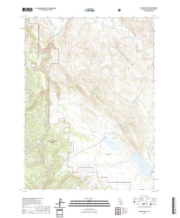 2021 Graven Ridge2021 Print · USGSHigh-elevation Modoc County is captured here in the early 2020s, showing a landscape shaped by water management and forest service lands. Researchers can trace the complex network of mountain springs and reservoirs like Graven Reservoir and Arnett Spring alongside the California Pines Blvd corridor.
 - 2021 Map of Hager Basin, 2021 Print
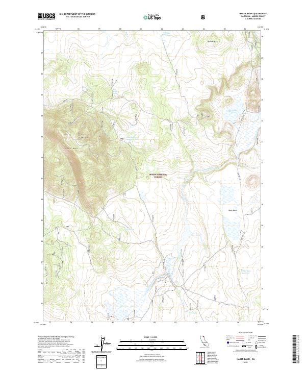 2021 Hager Basin2021 Print · USGSThe Modoc Plateau in northeastern California is shown here in the early twenty-first century, revealing a landscape shaped by forest management and ranching. Genealogists and historians can trace essential water sources and high-altitude landmarks like Blue Mountain Lookout, Hager Basin Reservoir, and Tramp Spring.
 - 2021 Map of Warren Peak, 2021 Print
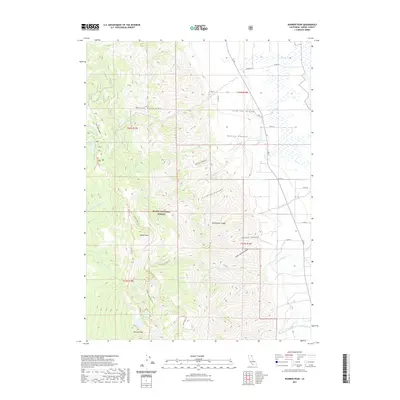 2021 Warren Peak2021 Print · USGSThe high alpine crest of the Warner Mountains is captured here during the early twenty-first century. Hikers and historians can trace the network of wilderness paths like the Summit Trl and Tom Smith Cabin Trl that connect Warren Peak to Patterson Lake.
 - 2021 Map of Boyd Spring, 2021 Print
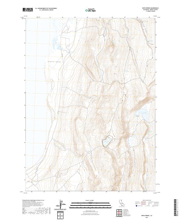 2021 Boyd Spring2021 Print · USGSSurprise Valley in the early twenty-first century remains a landscape defined by its isolated water sources and high-plateau terrain. Researchers can locate vital landmarks of the regional hydrology, from Boyd Spring and Mud Lake to Lieberman Canyon.
Showing maps 1-25 of 92
Top cities of Modoc County
- Alturas historical maps
- Cedarville historical maps
- Adin historical maps
- Fort Bidwell historical maps
- Eagleville historical maps
Frequently asked questions
- What are the different types of historical maps available for Modoc County?
- What is the oldest map of Modoc County?
- Where can I purchase historical maps of Modoc County for my home or office?
- Where can I download high-res historical maps of Modoc County?
- Are there historical topographic maps available for Modoc County?
- Is there historical aerial imagery available for Modoc County?
- Where are historical maps of Modoc County sourced from?