2000s (21st Century) Maps of Siskiyou County, California
Explore 675 historic maps of Siskiyou County from the 2000s (21st Century). These maps offer a rare glimpse into what life looked like during the 2000s — showing old roads, neighborhoods, homes, and landmarks that have changed or disappeared over time.
Whether you're researching your family's past, planning a metal detecting trip, or studying how Siskiyou County's landscape evolved across the 2000s, these high-resolution maps are a powerful tool for exploring the history of this region.
- Focus on a specific era: All maps on this page are from the 2000s, giving you a focused view of this time period.
- See what’s changed: Compare century-old streets, trails, and buildings to today's modern landscape using overlays and satellite layers.
- Research with precision: Use these maps for genealogy, historical research, land use analysis, or educational projects.
- View, download, or print: Maps are fully viewable online in high resolution, and can be downloaded or printed for your own records.
Start exploring Siskiyou County's history through authentic maps from the 2000s. This is your window into the past.
Siskiyou County, CA maps
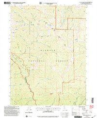
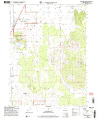
(675)- 2001 Map of Deadman Point, 2004 Print
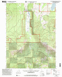
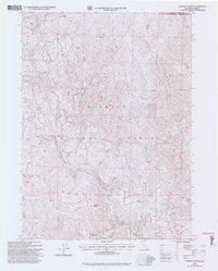 2001 Deadman Point2004 Print · USGSThe Siskiyou mountain borderlands at the turn of the millennium reveal a rugged landscape of ridges and remote mining claims. Genealogists and historians can trace the paths of Grayback Road to the Ruby Mine, Classic H Mine, and localized prospects near Deadman Point.2 unique versions available
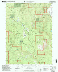
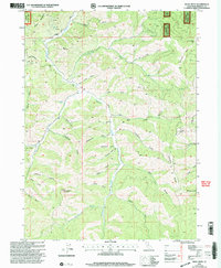
 - 2001 Map of Secret Spring Mountain, 2004 Print
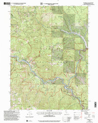
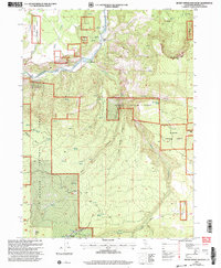 2001 Secret Spring Mountain2004 Print · USGSSiskiyou County at the opening of the millennium shows a landscape defined by the Klamath River and early ranching history. Researchers can trace the footprints of old homesteads like Spannaus Ranch and Hessig Ranch or locate the historic site of Beswick.
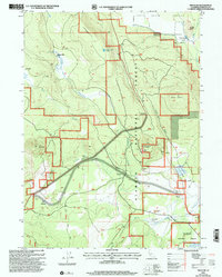
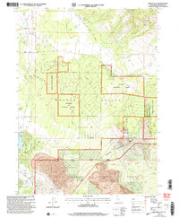
 - 2001 Map of Bark Shanty Gulch, 2004 Print
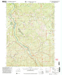
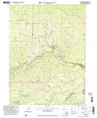
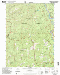 2001 Bark Shanty Gulch2004 Print · USGSSiskiyou County's mountain and river country is documented here at the turn of the millennium, showing the overlap of two national forests and three county lines. Researchers can trace the river corridor via the R. Lyle Davis Bridge to find Young Ranch and remote backcountry sites like Beans Camp.
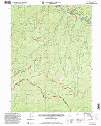
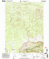
 - 2001 Map of Horse Creek, 2004 Print
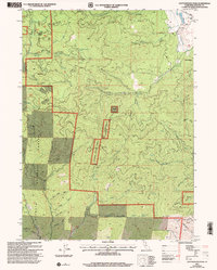
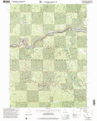 2001 Horse Creek2004 Print · USGSSiskiyou County's river-cut landscape is captured here at the turn of the millennium, centered on the Klamath River and the Horse Creek settlement. Genealogists and historians can trace local landmarks like the Klamath River School, Maplesden Ranch, and the Columbia Mine.
 - 2001 Map of Yellow Dog Peak, 2004 Print
 2001 Yellow Dog Peak2004 Print · USGSThe Marble Mountain Wilderness and Klamath National Forest are shown here in detail just after the turn of the century. Trace high-altitude trails and remote outposts like the Pacific Crest National Scenic Trail, Abbott Ranch, and Wilson Cabin.2 unique versions available
 - 2001 Map of Siskiyou Pass, 2004 Print
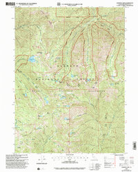
 2001 Siskiyou Pass2004 Print · USGSThe Oregon and California borderlands meet at the high divide of the Siskiyou Mountains in this early 2000s survey. You can trace the Pacific Crest National Scenic Trail as it passes Siskiyou Summit and the historic Dollarhide location.
 - 2001 Map of Panther Rock, 2004 Print
 2001 Panther Rock2004 Print · USGSSiskiyou County's high forest terrain is detailed here at the turn of the millennium, showing a landscape of alpine meadows and mountain lookouts. Trace the legacy of forest management and grazing at Martin Dairy, Kucks Cabin, and the Ball Mountain Lookout.
 - 2001 Map of Penoyar, 2004 Print
 2001 Penoyar2004 Print · USGSSiskiyou County's volcanic landscape at the turn of the millennium reveals a rugged mix of timber, ranching, and rail history. Researchers can pinpoint the former Hoffman Mill (Site) and Soule Ranch (Site) or trace the path of Horsethief Creek.
 - 2001 Map of Youngs Peak, 2004 Print
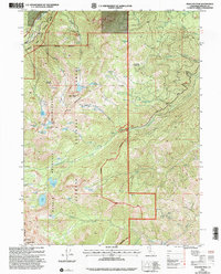
 2001 Youngs Peak2004 Print · USGSThe Siskiyou and Trinity County borderlands at the start of the new millennium reveal a landscape shaped by gold-mining legacies and towering peaks. Researchers can trace historic claims like the Gilta Mine and Knownothing Mine or locate the remote Barton Cabin and Knownothing Lake.2 unique versions available
 - 2001 Map of Ukonom Lake, 2004 Print
 2001 Ukonom Lake2004 Print · USGSSiskiyou County's high country is captured here in the early 2000s, showing the remote alpine basins of the Marble Mountains. Researchers can trace the trails and camps of this wilderness area, locating Pickle Camp, the historic Johnsons Hunting Ground, and the turquoise waters of Ukonom Lake.
 - 2001 Map of Yreka, 2004 Print
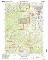 2001 Yreka2004 Print · USGSThe northern California landscape at the turn of the millennium shows the intersection of the Klamath National Forest and the historic city of Yreka. Genealogists and historians can trace the town's layout near Evergreen Cemetery and the Siskiyou County Courthouse.2 unique versions available
 - 2001 Map of Buckhorn Bally, 2004 Print
 2001 Buckhorn Bally2004 Print · USGSSiskiyou County's rugged mining and ranching history is preserved on this turn-of-the-millennium survey of the Klamath range. Researchers can trace historic extraction sites like the Golden Rule Mine and Espee Mine or locate the former Condrey Ranch (Site).2 unique versions available
 - 2001 Map of Tennant, 2004 Print
 2001 Tennant2004 Print · USGSUpper Siskiyou County is seen here at the start of the millennium, centered on the community of Tennant. Researchers can locate specific local landmarks including the town Cem, the Ken Del Ranch, and the high-elevation Stephens Pass.2 unique versions available
 - 2001 Map of Huckleberry Mountain, 2004 Print
 2001 Huckleberry Mountain2004 Print · USGSSiskiyou County's high ridges and river canyons are captured here just after the turn of the millennium. Trace the path of the Pacific Crest National Scenic Trail and locate remote landmarks like the Turner Mine Prospect and Sulphur Springs.
 - 2001 Map of Red Rock Lakes, 2004 Print
 2001 Red Rock Lakes2004 Print · USGSSiskiyou County's high forest lands are captured here at the turn of the millennium, showing a landscape defined by isolated peaks and vital water sources. You can trace the rugged topography from Mahogany Peak down to Red Rock Lakes and Deyarmie Lake.
 - 2001 Map of Thompson Peak, 2004 Print
 2001 Thompson Peak2004 Print · USGSThe high wilderness of the Trinity Alps and the Salmon River corridor are captured here at the start of the millennium. Researchers can trace isolated family landmarks and early mining footprints at Petersburg Station, Schoolhouse Flat, and Moliter Cabin.2 unique versions available
 - 2001 Map of Boulder Peak, 2004 Print
 2001 Boulder Peak2004 Print · USGSHigh in the Siskiyou mountains at the start of the millennium, this survey details a pristine wilderness landscape defined by granite peaks and alpine lakes. Trace the Pacific Crest Nat Scenic Trail through the Marble Mountain Wilderness past Boulder Peak and Isinglass Lake.
 - 2001 Map of Sheep Mountain, 2004 Print
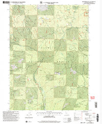
 2001 Sheep Mountain2004 Print · USGSSiskiyou County at the turn of the twenty-first century reveals a landscape of high-desert basins and volcanic peaks. Researchers can trace the rural infrastructure around Macdoel and Mt Hebron, or locate family sites near Lakeview Cemetery and Bramsteads Waterhole.
 - 2001 Map of Duzel Rock, 2004 Print
 2001 Duzel Rock2004 Print · USGSSiskiyou County at the opening of the twenty-first century reveals a landscape of high ridges and deep drainages within the Klamath National Forest. Researchers can trace old resource sites like the Prospects near Piney Gulch or find landmarks like the Duzel Rock Lookout.
 - 2001 Map of Juniper Flat, 2004 Print
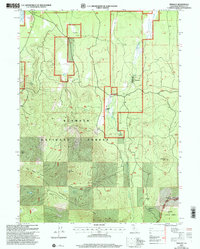
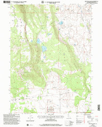
 2001 Juniper Flat2004 Print · USGSNorthern Siskiyou County at the turn of the millennium shows a landscape defined by volcanic geology and recreational growth. Trace the development of the Lake Shastina Golf Resort near Dwinnell Dam and locate rural landmarks like Conrad Ranch and the Lava Tubes.
 - 2001 Map of Mule Hill, 2004 Print
 2001 Mule Hill2004 Print · USGSThe high timber and river country of the Oregon-California border comes into focus at the turn of the millennium. Genealogists and historians can trace the foundations of former outposts at Pokegama (Site) and find family history at the Way Cem near the Klamath River.
 - 2001 Map of West Haight Mountain, 2004 Print
 2001 West Haight Mountain2004 Print · USGSKlamath National Forest at the turn of the millennium reveals a landscape of high-country ranching and forest management. Trace early water infrastructure like the DITCH near Granada Ranch or locate mountain springs such as Onion Spring.
 - 2001 Map of Hamburg, 2004 Print
 2001 Hamburg2004 Print · USGSThe Klamath River canyon comes into sharp focus during the turn of the millennium, showing a landscape shaped by mining and forest management. Genealogists and researchers can locate the Horse Creek Cemetery, the Lucky Mine, and the historic footprint of Hamburg.
 - 2001 Map of Sawyers Bar, 2004 Print
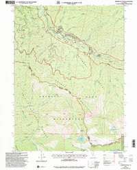
 2001 Sawyers Bar2004 Print · USGSSawyers Bar and the surrounding Klamath Mountains are documented here at the turn of the millennium, showing a landscape shaped by gold mining and remote ranching. Researchers can trace historic extraction sites like the Black Bear Mine, the Bestville (Site), and the local Cem.
 - 2001 Map of Cottonwood Peak, 2004 Print
 2001 Cottonwood Peak2004 Print · USGSSiskiyou County's high forest terrain is documented here at the turn of the millennium, revealing a landscape etched with decades of mining history. Local researchers can pinpoint specific operations like the Last Chance Mine and New Year Mine or trace the remote Woodchopper settlement.
Showing maps 1-25 of 675
Top cities of Siskiyou County
- Yreka historical maps
- Mount Shasta historical maps
- Weed historical maps
- Dunsmuir historical maps
- Montague historical maps
- Tulelake historical maps
See more
Frequently asked questions
- What are the different types of historical maps available for Siskiyou County?
- What is the oldest map of Siskiyou County?
- Where can I purchase historical maps of Siskiyou County for my home or office?
- Where can I download high-res historical maps of Siskiyou County?
- Are there historical topographic maps available for Siskiyou County?
- Is there historical aerial imagery available for Siskiyou County?
- Where are historical maps of Siskiyou County sourced from?