Old Maps of Siskiyou County, California for Hiking & Exploration
Hike through history with 568 historic maps of Siskiyou County. Explore old trails, ghost towns, and forgotten backroads — perfect for outdoor adventurers and local explorers.
- Rediscover forgotten places: Map out old mining camps, roads, and footpaths that no longer exist on modern maps.
- Layer with modern tools: Combine with LiDAR or satellite views to plan hikes through historical terrain.
- Made for exploration: Popular among hikers, overlanders, and local history lovers.
Use these maps to find adventure and explore the hidden past of Siskiyou County.
Siskiyou County, CA maps
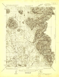
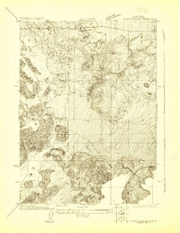
(568)- 1886 Map of Modoc Lava Bed
 1886 Modoc Lava Bed1886 Print · USGSCovers Siskiyou County, including Tulelake, Dorris, and other nearby areas
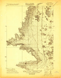
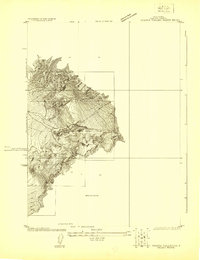
 - 1886 Map of Shasta
 1886 Shasta1886 Print · USGSCovers Siskiyou County, including Yreka, Mount Shasta, and other nearby areas3 unique versions available
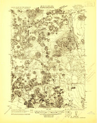
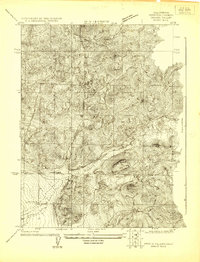
 - 1889 Map of Klamath
 1889 Klamath1889 Print · USGSCovers Siskiyou County, including Klamath Falls, Altamont, and other nearby areas
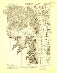
 - 1890 Map of Red Bluff
 1890 Red Bluff1890 Print · USGSCovers Siskiyou County, including Redding, Red Bluff, and other nearby areas
 - 1891 Map of Ashland
 1891 Ashland1891 Print · USGSCovers Siskiyou County, including Medford, Ashland, and other nearby areas
 - 1892 Map of Modoc Lava-Bed
 1892 Modoc Lava-Bed1892 Print · USGSCovers Siskiyou County, including Tulelake, Dorris, and other nearby areas7 unique versions available
 - 1893 Map of Ashland
 1893 Ashland1893 Print · USGSCovers Siskiyou County, including Medford, Ashland, and other nearby areas6 unique versions available
 - 1894 Map of Klamath
 1894 Klamath1894 Print · USGSCovers Siskiyou County, including Klamath Falls, Altamont, and other nearby areas6 unique versions available
 - 1894 Map of Red Bluff, 1896 Print
 1894 Red Bluff1896 Print · USGSCovers Siskiyou County, including Redding, Red Bluff, and other nearby areas6 unique versions available
 - 1894 Map of Shasta, 1903 Print
 1894 Shasta1903 Print · USGSCovers Siskiyou County, including Yreka, Mount Shasta, and other nearby areas8 unique versions available
 - 1897 Map of Ashland, 1937 Print
 1897 Ashland1937 Print · USGSCovers Siskiyou County, including Medford, Ashland, and other nearby areas
 - 1908 Map of Grants Pass
 1908 Grants Pass1908 Print · USGSCovers Siskiyou County, including Grants Pass, Rogue River, and other nearby areas5 unique versions available
 - 1913 Map of Weaverville
 1913 Weaverville1913 Print · USGSCovers Siskiyou County, including Weaverville, Lewiston, and other nearby areas6 unique versions available
 - 1914 Map of Seiad, 1957 Print
 1914 Seiad1957 Print · USGSCovers Siskiyou County, including Seiad Valley, Scott Bar, and other nearby areas
 - 1917 Map of Kerby, 1927 Print
 1917 Kerby1927 Print · USGSCovers Siskiyou County, including Cave Junction, Kerby, and other nearby areas3 unique versions available
 - 1918 Map of Kerby
 1918 Kerby1918 Print · USGSCovers Siskiyou County, including Cave Junction, Kerby, and other nearby areas2 unique versions available
 - 1921 Map of Shasta Valley Sheet No 7
 1921 Shasta Valley Sheet No 71921 Print · USGSCovers Siskiyou County, including Big Springs, United States, and other nearby areas
 - 1921 Map of Shasta Valley Sheet No 11
 1921 Shasta Valley Sheet No 111921 Print · USGSCovers Siskiyou County, including United States, California, and other nearby areas
 - 1921 Map of Shasta Valley Sheet No 1
 1921 Shasta Valley Sheet No 11921 Print · USGSCovers Siskiyou County, including Gazelle, United States, and other nearby areas
 - 1921 Map of Shasta Valley Sheet No 6
 1921 Shasta Valley Sheet No 61921 Print · USGSCovers Siskiyou County, including United States, California, and other nearby areas
 - 1921 Map of Shasta Valley Sheet No 2
 1921 Shasta Valley Sheet No 21921 Print · USGSCovers Siskiyou County, including Grenada, United States, and other nearby areas
 - 1922 Map of Shasta Valley Sheet No 10
 1922 Shasta Valley Sheet No 101922 Print · USGSCovers Siskiyou County, including Lake Shastina, United States, and other nearby areas
 - 1922 Map of Shasta Valley Sheet No 10 E
 1922 Shasta Valley Sheet No 10 E1922 Print · USGSCovers Siskiyou County, including United States, California, and other nearby areas
 - 1922 Map of Preston Peak
 1922 Preston Peak1922 Print · USGSCovers Siskiyou County, including Peak Eight, Klamath Glen, and other nearby areas5 unique versions available
 - 1922 Map of Shasta Valley Sheet No 12
 1922 Shasta Valley Sheet No 121922 Print · USGSCovers Siskiyou County, including Little Shasta, United States, and other nearby areas
Showing maps 1-25 of 568
Top cities of Siskiyou County
- Yreka historical maps
- Mount Shasta historical maps
- Weed historical maps
- Dunsmuir historical maps
- Montague historical maps
- Tulelake historical maps
See more
Frequently asked questions
- What are the different types of historical maps available for Siskiyou County?
- What is the oldest map of Siskiyou County?
- Where can I purchase historical maps of Siskiyou County for my home or office?
- Where can I download high-res historical maps of Siskiyou County?
- Are there historical topographic maps available for Siskiyou County?
- Is there historical aerial imagery available for Siskiyou County?
- Where are historical maps of Siskiyou County sourced from?