2020s Maps of Siskiyou County, California
Explore 168 historic maps of Siskiyou County from the 2020s. These maps offer a rare glimpse into what life looked like during the 2020s — showing old roads, neighborhoods, homes, and landmarks that have changed or disappeared over time.
Whether you're researching your family's past, planning a metal detecting trip, or studying how Siskiyou County's landscape evolved across the 2020s, these high-resolution maps are a powerful tool for exploring the history of this region.
- Focus on a specific era: All maps on this page are from the 2020s, giving you a focused view of this time period.
- See what’s changed: Compare century-old streets, trails, and buildings to today's modern landscape using overlays and satellite layers.
- Research with precision: Use these maps for genealogy, historical research, land use analysis, or educational projects.
- View, download, or print: Maps are fully viewable online in high resolution, and can be downloaded or printed for your own records.
Start exploring Siskiyou County's history through authentic maps from the 2020s. This is your window into the past.
Siskiyou County, CA maps
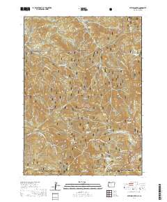
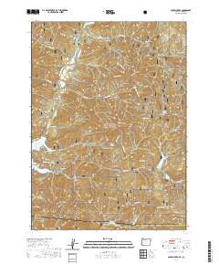
(168)- 2020 Map of Hamaker Mountain, 2020 Print
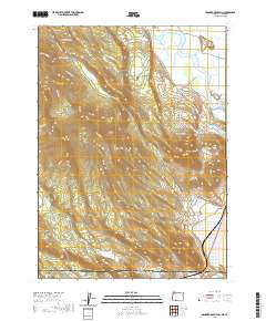 2020 Hamaker Mountain2020 Print · USGSCovers Siskiyou County, including Klamath County, United States, and other nearby areas
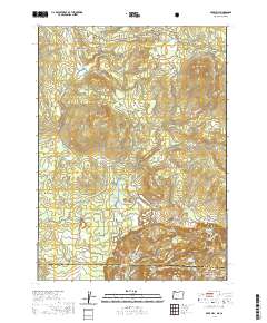
 - 2020 Map of Chicken Hills, 2020 Print
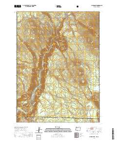 2020 Chicken Hills2020 Print · USGSCovers Siskiyou County, including Klamath County, United States, and other nearby areas
 - 2020 Map of Siskiyou Peak, 2020 Print
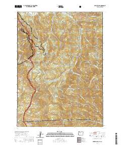
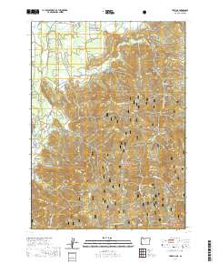
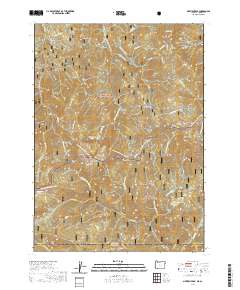 2020 Siskiyou Peak2020 Print · USGSCovers Siskiyou County, including Jackson County, United States, and other nearby areas
 - 2020 Map of Soda Mountain, 2020 Print
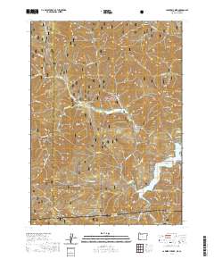
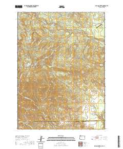 2020 Soda Mountain2020 Print · USGSCovers Siskiyou County, including Mountain View, Lincoln, and other nearby areas
 - 2020 Map of Dutchman Peak, 2020 Print
 2020 Dutchman Peak2020 Print · USGSCovers Siskiyou County, including Jackson County, United States, and other nearby areas
 - 2020 Map of Mule Hill, 2020 Print
 2020 Mule Hill2020 Print · USGSCovers Siskiyou County, including Klamath County, United States, and other nearby areas
 - 2020 Map of Siskiyou Pass, 2020 Print
 2020 Siskiyou Pass2020 Print · USGSCovers Siskiyou County, including Jackson County, United States, and other nearby areas
 - 2020 Map of Carberry Creek, 2020 Print
 2020 Carberry Creek2020 Print · USGSCovers Siskiyou County, including Jackson County, Josephine County, and other nearby areas
 - 2020 Map of Mule Mountain, 2020 Print
 2020 Mule Mountain2020 Print · USGSCovers Siskiyou County, including Jackson County, United States, and other nearby areas
 - 2020 Map of Oregon Caves, 2020 Print
 2020 Oregon Caves2020 Print · USGSCovers Siskiyou County, including Josephine County, United States, and other nearby areas
 - 2020 Map of Takilma, 2020 Print
 2020 Takilma2020 Print · USGSCovers Siskiyou County, including Takilma, Josephine County, and other nearby areas
 - 2021 Map of Gazelle Mountain, 2021 Print
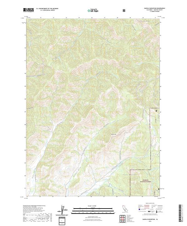 2021 Gazelle Mountain2021 Print · USGSSiskiyou County's high country is captured in this recent survey of the mountains south of Gazelle. Researchers can trace the rugged drainages of Noyes Valley and the E Fork Scott River, or locate landmarks like Gazelle Mtn and Scarface Ridge.
 - 2021 Map of Dorris, 2021 Print
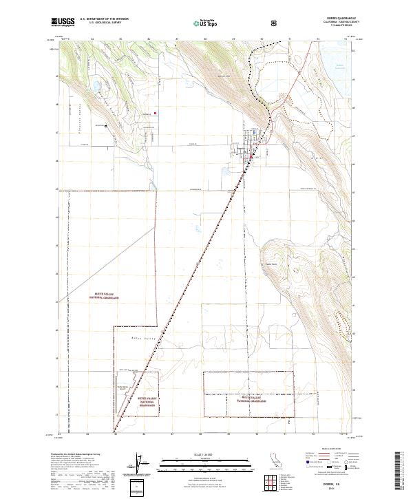 2021 Dorris2021 Print · USGSSiskiyou County's high-plateau border country is captured here in the early 2020s, centered on the community of Dorris. Researchers can trace local genealogy at Picard Cem and explore the geography of Butte Valley and the Butte Valley National Grassland.
 - 2021 Map of Border Mountain, 2021 Print
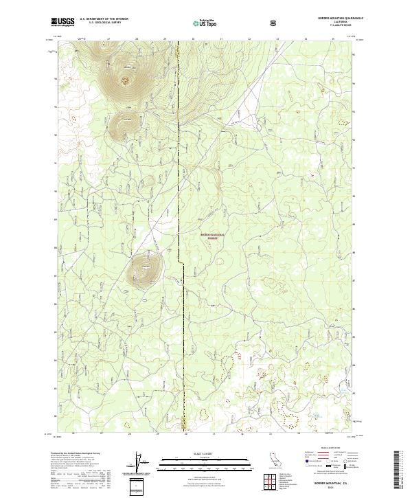 2021 Border Mountain2021 Print · USGSThe Siskiyou and Modoc county line in northern California comes alive here in this modern era survey of the high forest plateau. Outdoorsmen and local historians can trace vital water sources like Deep Waterhole and traverse the forest roads surrounding Border Mtn.
 - 2021 Map of Bonita Butte, 2021 Print
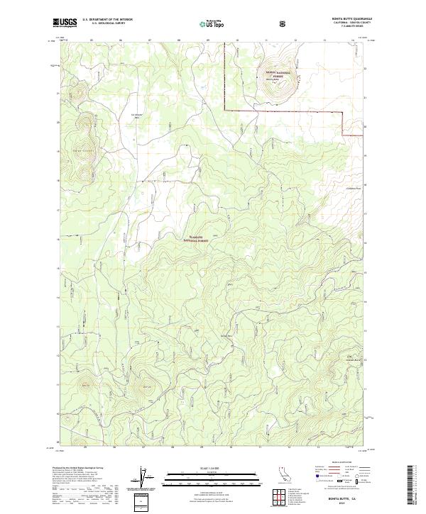 2021 Bonita Butte2021 Print · USGSSiskiyou County's volcanic highlands are documented in the early 2020s where two national forests meet. Researchers can trace historic industrial footprints through the Lower Rr Grade Trl, Six Shooter Pass, and the prominent Bonita Butte.
 - 2021 Map of Sharp Mountain, 2021 Print
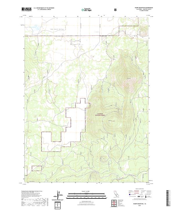 2021 Sharp Mountain2021 Print · USGSSiskiyou County's high-country terrain is captured here in the early twenty-first century, showing the intersection of forest management and early transit. Researchers can trace the legacy of mountain timber and rail via the Railroad Grade and the path to Russell Lake.
 - 2021 Map of Indian Spring Mountain, 2021 Print
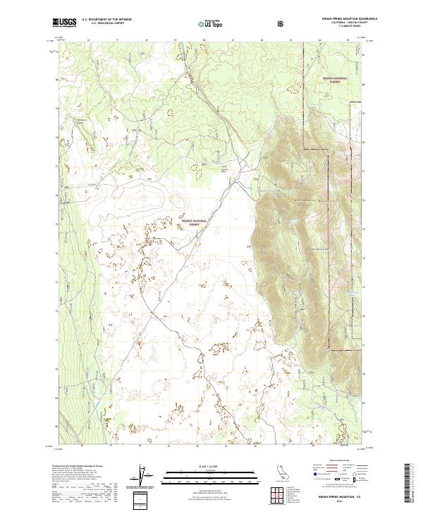 2021 Indian Spring Mountain2021 Print · USGSSiskiyou County's high forest and volcanic terrain are documented here in the early twenty-first century. Researchers can trace the rugged topography of the Whitehorse Mountains and locate landmarks like Hambone Island and Indian Spring.
 - 2021 Map of East of Pondosa, 2021 Print
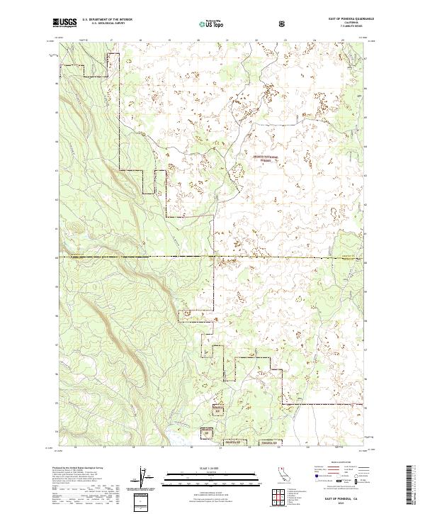 2021 East of Pondosa2021 Print · USGSSiskiyou and Shasta counties meet in this high-elevation forest landscape during the early 2020s. Researchers can trace historic access routes like Old Co Rd and Mcarthur Rd alongside modern utility lines like the Pit Gas Pipe.
 - 2021 Map of Sheep Mountain, 2021 Print
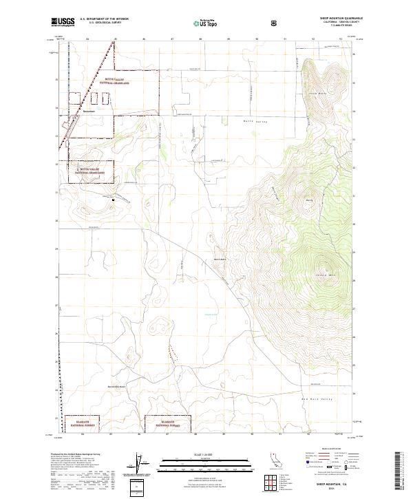 2021 Sheep Mountain2021 Print · USGSSiskiyou County's high basin and volcanic peaks are captured here in the early twenty-first century. Genealogists and local historians can trace the roads around Somerset or locate the Lakeview Cem and the prominent Sheep Mtn.
 - 2021 Map of Grizzly Peak, 2021 Print
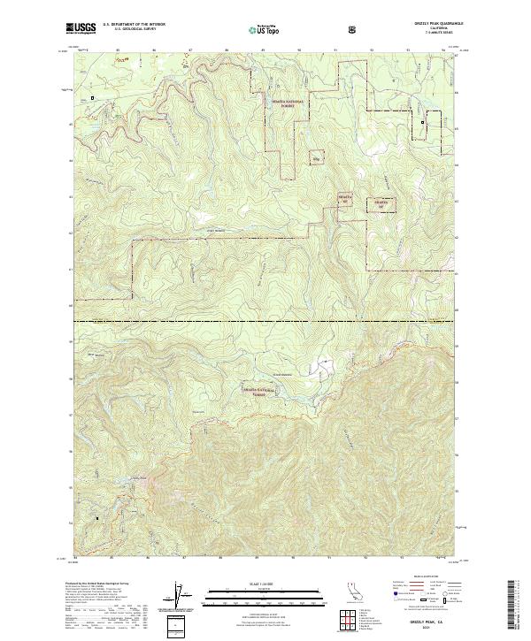 2021 Grizzly Peak2021 Print · USGSSiskiyou and Shasta counties meet in this modern survey of the high cascades forest, centered on the landmark Grizzly Peak. Researchers can trace the path of the Pacific Crest National Scenic Trl past historic water sources like Dad Lofton Spring and Bundoora Spring.
 - 2021 Map of Kinyon, 2021 Print
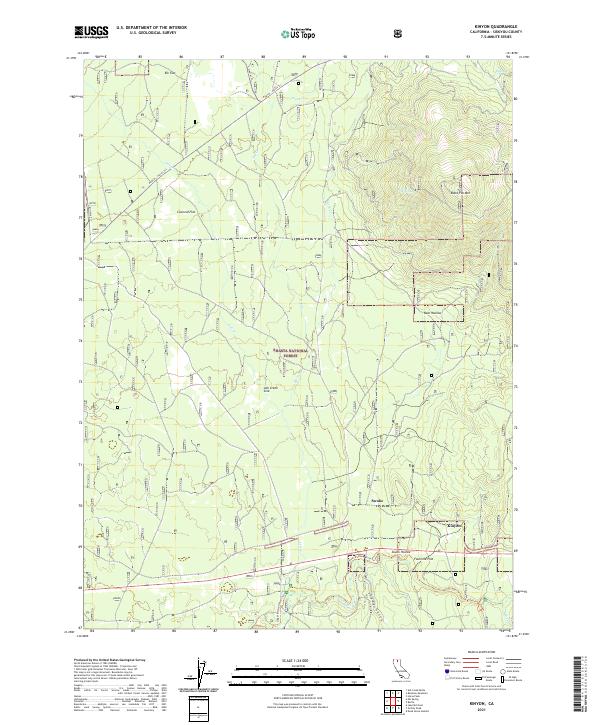 2021 Kinyon2021 Print · USGSSiskiyou County's high forest lands are captured here in the early twenty-first century, showcasing the remote terrain of the Shasta National Forest. Researchers can trace the paths of the Military Trl and Upper McCloud River Trl near the settlements of Kinyon and Swobe.
 - 2021 Map of Bartle, 2021 Print
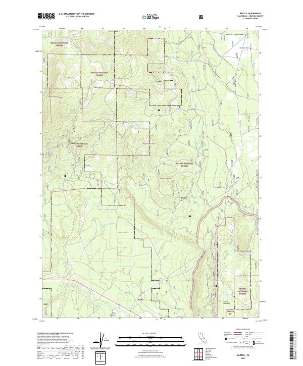 2021 Bartle2021 Print · USGSThe high timberlands of Siskiyou County are shown here in the early 2020s, centered on the historic mountain outpost of Bartle. Researchers can trace forest access routes like Powder Hill to remote landmarks including Sheepheaven Butte and Stillwater Meadows.
 - 2021 Map of Little Glass Mountain, 2021 Print
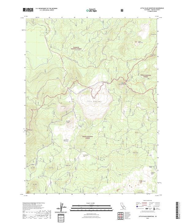 2021 Little Glass Mountain2021 Print · USGSSiskiyou County's volcanic interior is revealed in this modern survey of the high-elevation forests where three national forests meet. Researchers and hikers can trace the 11 Mile Rd Trl Railroad Grade and identify geological landmarks like Little Glass Mtn and Paint Pot Crater.
 - 2021 Map of Dead Horse Summit, 2021 Print
 2021 Dead Horse Summit2021 Print · USGSUpper Siskiyou and Shasta counties are shown here in the 2020s, dominated by high-country forest and the winding Pacific Crest Trail. Hikers and historians can trace routes near Dead Horse Summit, the McCloud River, and the settlement at Curtis.
 - 2021 Map of Medicine Lake, 2021 Print
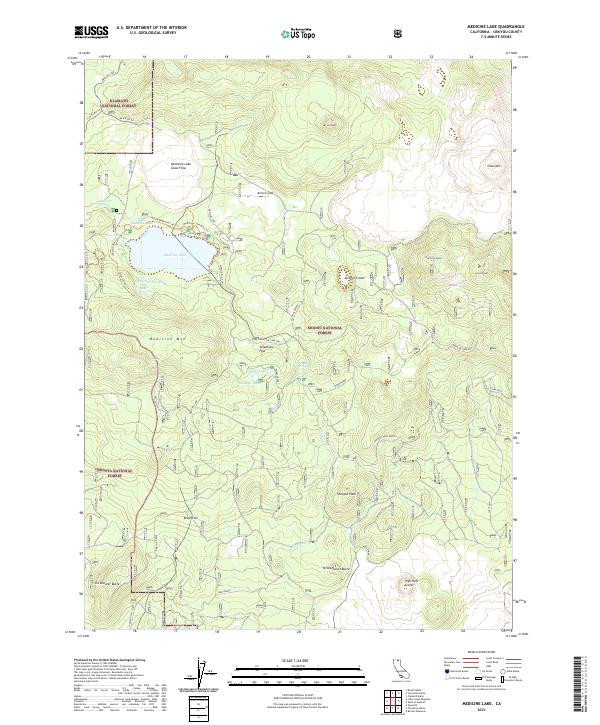 2021 Medicine Lake2021 Print · USGSSiskiyou County's volcanic highlands are documented here during a period of modern forest management and recreation. Researchers can trace the trails and springs surrounding Medicine Lake, including Schonchin Spring and the extensive Medicine Lake Glass Flow.
Showing maps 1-25 of 168
Top cities of Siskiyou County
- Yreka historical maps
- Mount Shasta historical maps
- Weed historical maps
- Dunsmuir historical maps
- Montague historical maps
- Tulelake historical maps
See more
Frequently asked questions
- What are the different types of historical maps available for Siskiyou County?
- What is the oldest map of Siskiyou County?
- Where can I purchase historical maps of Siskiyou County for my home or office?
- Where can I download high-res historical maps of Siskiyou County?
- Are there historical topographic maps available for Siskiyou County?
- Is there historical aerial imagery available for Siskiyou County?
- Where are historical maps of Siskiyou County sourced from?