1970s Maps of Siskiyou County, California
Explore 26 historic maps of Siskiyou County from the 1970s. These maps offer a rare glimpse into what life looked like during the 1970s — showing old roads, neighborhoods, homes, and landmarks that have changed or disappeared over time.
Whether you're researching your family's past, planning a metal detecting trip, or studying how Siskiyou County's landscape evolved across the 1970s, these high-resolution maps are a powerful tool for exploring the history of this region.
- Focus on a specific era: All maps on this page are from the 1970s, giving you a focused view of this time period.
- See what’s changed: Compare century-old streets, trails, and buildings to today's modern landscape using overlays and satellite layers.
- Research with precision: Use these maps for genealogy, historical research, land use analysis, or educational projects.
- View, download, or print: Maps are fully viewable online in high resolution, and can be downloaded or printed for your own records.
Start exploring Siskiyou County's history through authentic maps from the 1970s. This is your window into the past.
Siskiyou County, CA maps
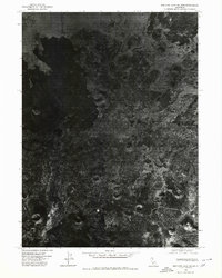
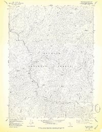
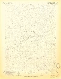
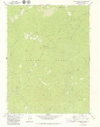
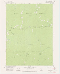
(26)- 1974 Map of Orleans Mtn., 1977 Print
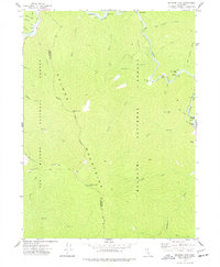 1974 Orleans Mtn.1977 Print · USGSCovers Siskiyou County, including Humboldt County, United States, and other nearby areas2 unique versions available
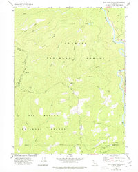
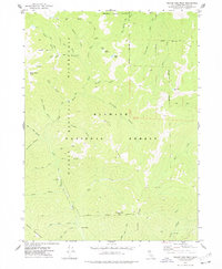
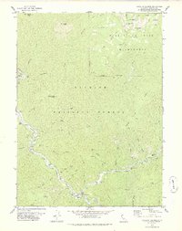
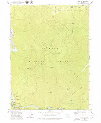
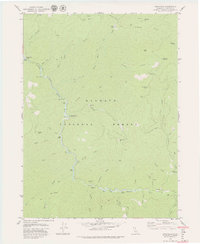
 - 1974 Map of Lonesome Ridge, 1977 Print
 1974 Lonesome Ridge1977 Print · USGSCovers Siskiyou County, including Humboldt County, Del Norte County, and other nearby areas
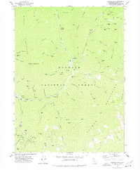
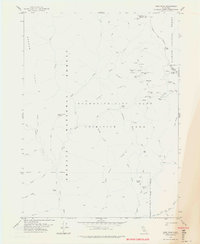
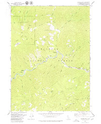
 - 1974 Map of Bark Shanty Gulch, 1977 Print
 1974 Bark Shanty Gulch1977 Print · USGSCovers Siskiyou County, including Humboldt County, Del Norte County, and other nearby areas2 unique versions available
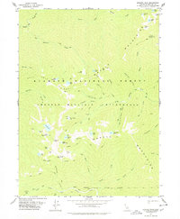
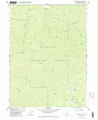
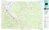
 - 1974 Map of Yreka NW, 1980 Print
 1974 Yreka NW1980 Print · USGSCovers Siskiyou County, including Yreka, United States, and other nearby areas
 - 1974 Map of Lake Shastina SW, 1980 Print
 1974 Lake Shastina SW1980 Print · USGSCovers Siskiyou County, including Big Springs, United States, and other nearby areas
 - 1975 Map of Medicine Lake NE, 1979 Print
 1975 Medicine Lake NE1979 Print · USGSCovers Siskiyou County, including United States, California, and other nearby areas2 unique versions available
 - 1977 Map of Yellow Dog Peak, 1978 Print
 1977 Yellow Dog Peak1978 Print · USGSCovers Siskiyou County, including United States, California, and other nearby areas
 - 1977 Map of Tanners Peak, 1978 Print
 1977 Tanners Peak1978 Print · USGSCovers Siskiyou County, including United States, California, and other nearby areas
 - 1977 Map of English Peak, 1978 Print
 1977 English Peak1978 Print · USGSCovers Siskiyou County, including United States, California, and other nearby areas2 unique versions available
 - 1978 Map of Cecilville
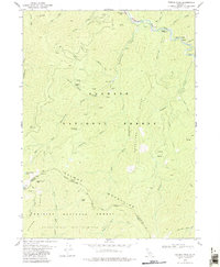
 1978 Cecilville1978 Print · USGSCovers Siskiyou County, including Black Bear, Cecilville, and other nearby areas
 - 1978 Map of Forks of Salmon
 1978 Forks of Salmon1978 Print · USGSCovers Siskiyou County, including Forks of Salmon, United States, and other nearby areas2 unique versions available
 - 1978 Map of Salmon Mtn.
 1978 Salmon Mtn.1978 Print · USGSCovers Siskiyou County, including Humboldt County, Trinity County, and other nearby areas2 unique versions available
 - 1978 Map of Dees Peak
 1978 Dees Peak1978 Print · USGSCovers Siskiyou County, including Trinity County, United States, and other nearby areas3 unique versions available
 - 1978 Map of Medicine Mtn, 1979 Print
 1978 Medicine Mtn1979 Print · USGSCovers Siskiyou County, including United States, California, and other nearby areas2 unique versions available
 - 1978 Map of Sawyers Bar, 1979 Print
 1978 Sawyers Bar1979 Print · USGSCovers Siskiyou County, including Sawyers Bar, United States, and other nearby areas
 - 1978 Map of Medford, 1994 Print
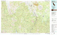
 1978 Medford1994 Print · USGSCovers Siskiyou County, including Medford, Ashland, and other nearby areas
 - 1979 Map of Youngs Peak
 1979 Youngs Peak1979 Print · USGSCovers Siskiyou County, including Trinity County, United States, and other nearby areas
 - 1979 Map of Yreka
 1979 Yreka1979 Print · USGSCovers Siskiyou County, including Yreka, Montague, and other nearby areas
 - 1979 Map of Grasshopper Ridge
 1979 Grasshopper Ridge1979 Print · USGSCovers Siskiyou County, including United States, California, and other nearby areas2 unique versions available
 - 1979 Map of Somes Bar
 1979 Somes Bar1979 Print · USGSCovers Siskiyou County, including Somes Bar, Humboldt County, and other nearby areas
 - 1979 Map of Fort Jones
 1979 Fort Jones1979 Print · USGSCovers Siskiyou County, including Fort Jones, United States, and other nearby areas
 - 1979 Map of Mount Shasta
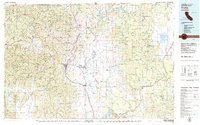
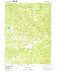
 1979 Mount Shasta1979 Print · USGSCovers Siskiyou County, including Mount Shasta, Weed, and other nearby areas3 unique versions available
 - 1979 Map of Cecil Lake
 1979 Cecil Lake1979 Print · USGSCovers Siskiyou County, including Trinity County, United States, and other nearby areas2 unique versions available
 - 1979 Map of Cecilville
 1979 Cecilville1979 Print · USGSCovers Siskiyou County, including Black Bear, Cecilville, and other nearby areas3 unique versions available
 - 1979 Map of Sawyers Bar
 1979 Sawyers Bar1979 Print · USGSCovers Siskiyou County, including Sawyers Bar, United States, and other nearby areas2 unique versions available
Showing maps 1-25 of 26
Top cities of Siskiyou County
- Yreka historical maps
- Mount Shasta historical maps
- Weed historical maps
- Dunsmuir historical maps
- Montague historical maps
- Tulelake historical maps
See more
Frequently asked questions
- What are the different types of historical maps available for Siskiyou County?
- What is the oldest map of Siskiyou County?
- Where can I purchase historical maps of Siskiyou County for my home or office?
- Where can I download high-res historical maps of Siskiyou County?
- Are there historical topographic maps available for Siskiyou County?
- Is there historical aerial imagery available for Siskiyou County?
- Where are historical maps of Siskiyou County sourced from?