1990s Maps of Siskiyou County, California
Explore 81 historic maps of Siskiyou County from the 1990s. These maps offer a rare glimpse into what life looked like during the 1990s — showing old roads, neighborhoods, homes, and landmarks that have changed or disappeared over time.
Whether you're researching your family's past, planning a metal detecting trip, or studying how Siskiyou County's landscape evolved across the 1990s, these high-resolution maps are a powerful tool for exploring the history of this region.
- Focus on a specific era: All maps on this page are from the 1990s, giving you a focused view of this time period.
- See what’s changed: Compare century-old streets, trails, and buildings to today's modern landscape using overlays and satellite layers.
- Research with precision: Use these maps for genealogy, historical research, land use analysis, or educational projects.
- View, download, or print: Maps are fully viewable online in high resolution, and can be downloaded or printed for your own records.
Start exploring Siskiyou County's history through authentic maps from the 1990s. This is your window into the past.
Siskiyou County, CA maps
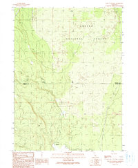
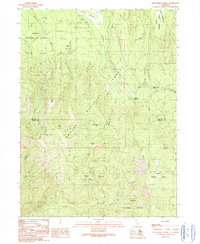
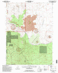
(81)- 1990 Map of Kinyon
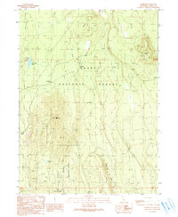
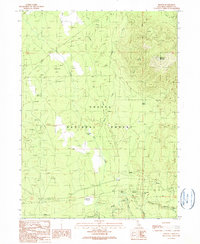 1990 Kinyon1990 Print · USGSSiskiyou County's timberlands are captured here in the late twentieth century as the region balanced forestry with high-country recreation. Trace the route of the Old Railroad Grade and locate old mountain outposts like Nitwit Camp and Kinyon.
 - 1990 Map of Snag Hill
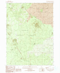
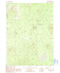
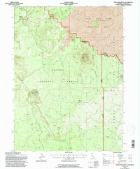
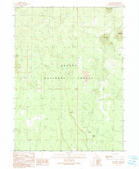 1990 Snag Hill1990 Print · USGSNorthern California volcanic territory is documented in the 1990s, revealing a landscape of high-elevation peaks and caves. Researchers can trace the Old RR Grade and find remote sites like Lost Iron Well or Ice River Caves.
 - 1990 Map of Pondosa
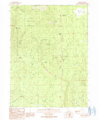
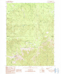
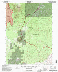
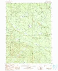 1990 Pondosa1990 Print · USGSThe timberlands of Siskiyou and Shasta counties are captured in the 1990s as a landscape of managed forests and old logging routes. Researchers can trace the Old Railroad Grade or locate family-named sites like Harlow Place and Bosworth Meadow.
 - 1990 Map of Border Mountain
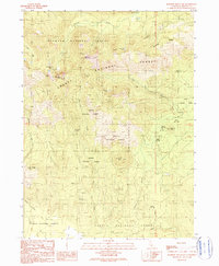
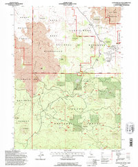
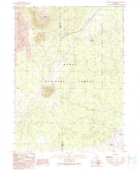 1990 Border Mountain1990 Print · USGSThe volcanic high country of Northern California is mapped here in the late twentieth century. Researchers can trace the high-altitude features of the Modoc National Forest, from the Round Mountain Lookout to the Long Bell FS Station.
 - 1990 Map of East of Pondosa
 1990 East of Pondosa1990 Print · USGSThe timberlands of Northern California appear in the 1990s as a landscape defined by volcanic geology and forest management. Researchers can trace remote junctions like Hammond Crossing and Spalding Corner near the banks of Bear Creek.
 - 1990 Map of Rainbow Mountain
 1990 Rainbow Mountain1990 Print · USGSSiskiyou County's volcanic highlands are documented here during the late twentieth century, showing the intersection of two national forests. Researchers can locate remote high-altitude water sources like Antelope Creek Lakes and landmarks such as Rainbow Mountain and Watakma Butte.
 - 1990 Map of Porcupine Butte
 1990 Porcupine Butte1990 Print · USGSSiskiyou County's volcanic high country is captured here during the 1990s, showcasing a landscape defined by dramatic lava flows and craters. Local researchers can trace geological landmarks like the Deep Ice Caves, Porcupine Butte, and the Burnt Lava Flow Geological Area.
 - 1990 Map of White Horse
 1990 White Horse1990 Print · USGSThe Modoc County high country in the early 1990s is defined by vast reservoirs and timber history on the border of the Shasta and Modoc National Forests. Researchers can trace the legacy of logging and ranching through several Old Railroad Grades, the settlement of White Horse, and remote outposts like McArthur Cow Camp.
 - 1990 Map of Bartle
 1990 Bartle1990 Print · USGSSiskiyou County's high forest country is captured here in the late twentieth century as a region of mountain peaks and alpine meadows. Researchers can trace forest management sites like Stagger Camp FS Station and find local landmarks such as Bartle and McKay Springs.
 - 1990 Map of Timbered Crater
 1990 Timbered Crater1990 Print · USGSNorthern California's volcanic borderlands are captured here in the late twentieth century, where three counties converge. Trace remote 4WD trails to Timbered Crater, Little Hot Spring, and the unique waterways of Big Lake.
 - 1990 Map of Dead Horse Summit
 1990 Dead Horse Summit1990 Print · USGSThe high country of the Shasta-Siskiyou border is mapped here in the late twentieth century, showing a landscape defined by timber, trails, and transit. Researchers can trace the Old RR Grade and the Pacific Crest National Scenic Trail past Mushroom Rock and Horse Lake.
 - 1990 Map of Horse Peak
 1990 Horse Peak1990 Print · USGSSiskiyou County's volcanic peaks and forest management sites are captured here in the 1990s. Researchers can trace the layout of Harris Spring FS Station and locate landmarks like Masonic Rock, Toad Lake, and Kluntuchi Butte.
 - 1990 Map of Grizzly Peak
 1990 Grizzly Peak1990 Print · USGSThe Siskiyou and Shasta county line is documented here in the late twentieth century as it traverses the high timberlands. Researchers can trace the path of the Pacific Crest National Scenic Trail near landmarks like Grizzly Peak and Dad Lofton Spring.
 - 1990 Map of Indian Spring Mountain
 1990 Indian Spring Mountain1990 Print · USGSThe northern California forests of Siskiyou County were extensively surveyed for this 1990 map, showing the confluence of the Shasta and Modoc national forests. Researchers can locate natural landmarks like the Mayfield Ice Cave and traces of industry like the Cinder Pit or an old Railroad Grade.
 - 1990 Map of Hambone
 1990 Hambone1990 Print · USGSNorthern California timber country is documented here in the 1980s, centered on the Shasta National Forest. Researchers can trace the legacy of logging via the Old Railroad Grade and find sites like Bear Lookout and Hambone.
 - 1991 Map of Klamath Falls, 1992 Print
 1991 Klamath Falls1992 Print · USGSSouthern Oregon's high desert and timber basins are captured here in the early nineties, centered on the rail and river networks of the Klamath Basin. Genealogists and researchers can trace local settlements from Beatty and Bly to the agricultural grids of Merrill and Dairy.
 - 1993 Map of Medicine Lake, 1996 Print
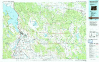
 1993 Medicine Lake1996 Print · USGSNorthern California's volcanic highlands appear in sharp detail during the early nineties. Geologists and local explorers can trace the Medicine Lake Glass Flow and locate the Undertakers Camp (Site) or Yellowjacket Ice Cave.2 unique versions available
 - 1993 Map of West of Kephart, 1996 Print
 1993 West of Kephart1996 Print · USGSThe volcanic highlands of eastern Siskiyou and western Modoc Counties are shown here during the early 1990s. Researchers can trace historic industrial footprints at Old Camp One, an Old RR Grade, and the specialized Pumice Mine.2 unique versions available
 - 1993 Map of Caldwell Butte, 1996 Print
 1993 Caldwell Butte1996 Print · USGSSiskiyou and Modoc Counties are captured in the early 1990s as a landscape of volcanic cones and archaeological sites. Researchers can locate ancient Indian Fortifications and unique geological features like Frozen River Cave and Caldwell Butte.
 - 1993 Map of Porcupine Butte, 1996 Print
 1993 Porcupine Butte1996 Print · USGSNorthern California volcanic landscapes are meticulously charted in the early nineties, showing the rugged intersection of the Shasta and Modoc national forests. Researchers can locate unique subterranean sites like the Deep Ice Caves and the Jot Dean Ice Cave near Porcupine Butte.
 - 1993 Map of Border Mountain, 1996 Print
 1993 Border Mountain1996 Print · USGSUpper Modoc County in the early nineties is a landscape of volcanic fields and timber management. Researchers can locate remote industrial and conservation sites like Round Mountain Lookout, the Cinder Pit, and Deep Waterhole.
 - 1993 Map of Schonchin Butte, 1996 Print
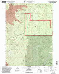
 1993 Schonchin Butte1996 Print · USGSSiskiyou County's volcanic interior is documented in the 1990s as a managed landscape of wilderness and forestry. Researchers can trace the path of the Old Railroad Grade or locate specific sites like Monument Headquarters and the Geothermal Well.
 - 1993 Map of Lower Klamath Lake, 1997 Print
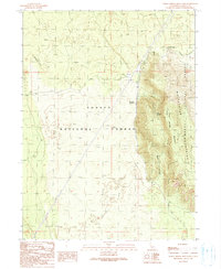
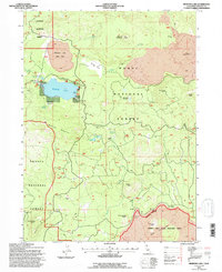
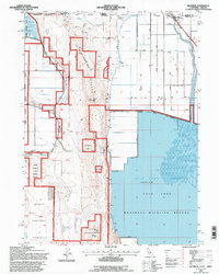
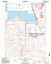
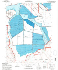 1993 Lower Klamath Lake1997 Print · USGSThe reclaimed basin of the California-Oregon border is captured here during the 1990s, showcasing a highly managed wetland and agricultural landscape. Researchers can trace the extensive levee systems and canals surrounding Fairchild Island, the Lower Klamath National Wildlife Refuge, and Sardine Flat.
 - 1993 Map of Hatfield, 1997 Print
 1993 Hatfield1997 Print · USGSThe California-Oregon borderlands in the 1990s reveal a landscape of massive water engineering and wildlife conservation. Genealogists and historians can trace the irrigation networks of Tule Lake and find landmarks like Ainsworth Corner and Hatfield.
 - 1993 Map of The Panhandle, 1997 Print
 1993 The Panhandle1997 Print · USGSThe Modoc County volcanic landscape is captured here in the early nineties, showing where ancient geology meets modern reclamation. Trace the historic defenses at Captain Jacks Stronghold or locate rail stops like Hannchen and Kandra along the Southern Pacific.
Showing maps 1-25 of 81
Top cities of Siskiyou County
- Yreka historical maps
- Mount Shasta historical maps
- Weed historical maps
- Dunsmuir historical maps
- Montague historical maps
- Tulelake historical maps
See more
Frequently asked questions
- What are the different types of historical maps available for Siskiyou County?
- What is the oldest map of Siskiyou County?
- Where can I purchase historical maps of Siskiyou County for my home or office?
- Where can I download high-res historical maps of Siskiyou County?
- Are there historical topographic maps available for Siskiyou County?
- Is there historical aerial imagery available for Siskiyou County?
- Where are historical maps of Siskiyou County sourced from?