Old Maps of Yreka, California for Metal Detecting
Plan your next treasure hunt with 38 historic maps of Yreka. Find old homesites, ghost towns, trails, and gathering spots that may be lost to time — perfect for identifying promising metal detecting locations.
- Locate forgotten sites: Uncover places like long-lost settlements, abandoned rail lines, or gathering spots.
- Plan better hunts: Use map overlays combined with LiDAR or satellite views to narrow in on historically rich areas.
- Made for detectorists: Thousands of hobbyists use these maps to discover relics, coins, and hidden history.
Use these historic maps to boost your research and find new opportunities beneath the surface of Yreka.
Yreka, CA maps
(38)- 1886 Map of Shasta
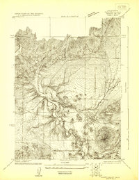
 1886 Shasta1886 Print · USGSUpper California in the mid-1880s is captured here during the height of the mining era and the early days of mountain tourism. Genealogists can locate family holdings near Yreka, trace river crossings like the ferry at Oaks Bar, or find early resorts at Upper Soda Spring.3 unique versions available
 - 1894 Map of Shasta, 1903 Print
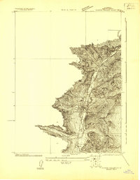
 1894 Shasta1903 Print · USGSNorthern California at the turn of the century reveals a landscape defined by the shadow of Mt Shasta and a booming mining economy. Genealogists can trace family roots through pioneer settlements like Yreka, Fort Jones, and the Callahan Ranch as the frontier transitioned into a network of established ranching and timber hubs.8 unique versions available
 - 1922 Map of Shasta Valley Sheet No 4
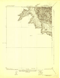
 1922 Shasta Valley Sheet No 41922 Print · USGSSiskiyou County's high-desert landscape appears in great detail in the early 1920s as irrigation and power projects began to reshape the valley. Genealogists and local historians can pinpoint the exact sites of the Dwinell School, Delphic School, and the rail junction at Montague.
 - 1922 Map of Shasta Valley Sheet No 3
 1922 Shasta Valley Sheet No 31922 Print · USGSYreka and the western Shasta Valley are shown in detail during the early 1920s as the local irrigation network was being established. Researchers can locate specific structures and civic sites like Greenhorn School, the town Cem, and the winding Yreka Ditch.
 - 1922 Map of Shasta Valley Sheet No 3 S
 1922 Shasta Valley Sheet No 3 S1922 Print · USGSIn the early 1920s, the irrigation and water networks of Siskiyou County were undergoing significant engineering. Researchers can trace the path of the Yreka Ditch alongside Yreka Creek and locate early benchmarks like BM 2838.
 - 1932 Map of Yreka
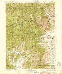
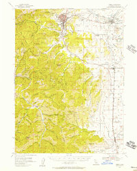
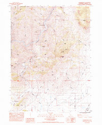
 1932 Yreka1932 Print · USGSSiskiyou County at the dawn of the 1930s shows a landscape of mountain mining claims and developing valley towns. Genealogists can trace family roots through numerous rural school districts like Lane Star Sch and mining sites including the Norma Mine and McKinley Mine.
 - 1939 Map of Yreka
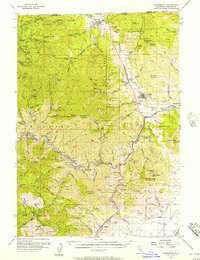
 1939 Yreka1939 Print · USGSSiskiyou County's mining and ranching valleys are captured here in the late 1930s, showing the early infrastructure of the Klamath River corridor. Trace the old rail stops at Hornbrook and Montague or locate family-named sites like Shasta River Sch and Cinnabar Mine.2 unique versions available
 - 1948 Map of Weed, 1950 Print
 1948 Weed1950 Print · USGSNorthern California and Southern Oregon are captured here during the post-war era, documenting the mountain-and-valley economies of the Klamath and Cascade ranges. Trace the legacy of local mining and timber at the King Solomon Mine, find old schools like Siskiyou County School, and follow the historic Southern Pacific RR route.2 unique versions available
 - 1950 Map of Weed
 1950 Weed1950 Print · USGSSiskiyou County and the surrounding Klamath mountains appear in the mid-century before extensive modern development. Genealogists and local historians can locate remote outposts like the Lee Brown Ranch and the specialized settlement of Darlingtonia.
 - 1954 Map of Yreka, 1957 Print
 1954 Yreka1957 Print · USGSSiskiyou County during the mid-fifties is captured here as a landscape of established cattle ranching and mining tradition. Genealogists and historians can trace old homesteads and landmarks like Forest House, local schools such as Delphic School, and workings at the Pegleg Mine.3 unique versions available
 - 1955 Map of Hornbrook, 1957 Print
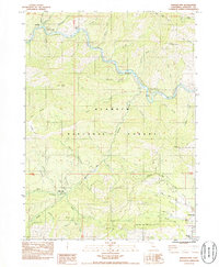
 1955 Hornbrook1957 Print · USGSThe Siskiyou County borderlands come to life in the mid-fifties, showing a landscape defined by the Southern Pacific rails and river-bar mining. Genealogists and historians can trace the foundations of Gottville, find the Honolulu School, or locate the numerous family-named mines like the Winget Mine.3 unique versions available
 - 1958 Map of Weed, 1963 Print
 1958 Weed1963 Print · USGSThe Northern California high country of the late fifties is defined by the towering presence of Mt Shasta and the logging railroads of the Siskiyou range. Genealogists and researchers can trace remote mining sites like the China Mine and mountain settlements such as Sawyers Bar and Seiad Valley.3 unique versions available
 - 1963 Map of Weed
 1963 Weed1963 Print · USGSNorthern California during the early 1960s shows a landscape of steep mountain ranges and river-fed valleys at the height of the timber era. Researchers can trace the routes of the McCloud River RR, locate remote sites like the Holiday Mine, or find ancestral markers at the Scott Valley Cem.
 - 1974 Map of Yreka NW, 1980 Print
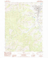
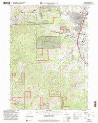
 1974 Yreka NW1980 Print · USGSNorthern Siskiyou County is captured in the mid-seventies, showing the city of Yreka as it meets the foothills. Researchers can trace the path of Yreka Creek or locate landmarks like Manzanita Hill in this detailed aerial record.
 - 1979 Map of Yreka
 1979 Yreka1979 Print · USGSSiskiyou County in the late seventies is a rugged landscape of deep river canyons and high mountain valleys where logging and mining history meet. Genealogists and researchers can trace old rail stops and mining sites like Klamathon, Negro Boy Mine, and the settlement of Mugginsville.
 - 1983 Map of Hawkinsville, 1984 Print
 1983 Hawkinsville1984 Print · USGSNorthern California's mining and river landscapes are captured here in the early eighties as the Shasta Valley meets the forest. Researchers can trace historical extraction sites like the Negro Boy Mine and Union Mine or follow the route of the Southern Pacific railroad.
 - 1984 Map of Yreka
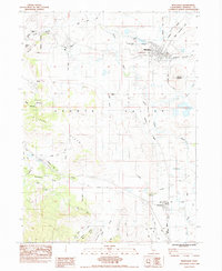
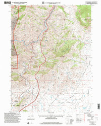
 1984 Yreka1984 Print · USGSSiskiyou County's seat at the edge of the Shasta Valley is captured here in the early 1980s, balancing timber, mining, and mountain living. Local historians can trace the rail lines of the Yreka Western RR and locate sites like Evergreen Cemetery and the Scorpion Mine.
 - 1984 Map of Montague
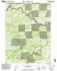
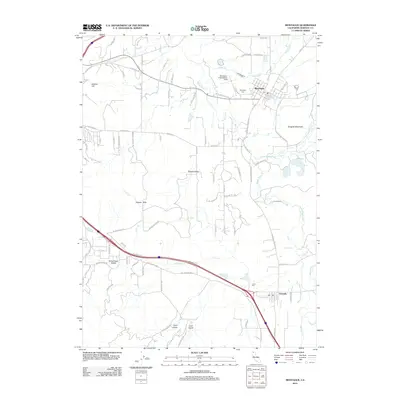
 1984 Montague1984 Print · USGSSiskiyou County in the mid-1980s was a landscape defined by the railroads and rivers of the Shasta Valley. Genealogists and historians can trace family locations near the Montague Cem, follow the Southern Pacific line, or explore the area around Butcher Hill.2 unique versions available
 - 1984 Map of Badger Mtn.
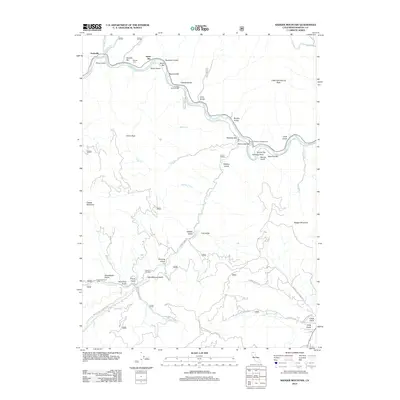
 1984 Badger Mtn.1984 Print · USGSSiskiyou County's Klamath River corridor is captured here in the mid-1980s, documenting a landscape of steep gulches and historic gold-bearing bars. Genealogists and historians can locate former community hubs like Gottville and the Honolulu Sch (Site), or trace mining operations at the Indian Girl Mine.
 - 2001 Map of Yreka, 2004 Print
 2001 Yreka2004 Print · USGSThe northern California landscape at the turn of the millennium shows the intersection of the Klamath National Forest and the historic city of Yreka. Genealogists and historians can trace the town's layout near Evergreen Cemetery and the Siskiyou County Courthouse.2 unique versions available
 - 2001 Map of Hawkinsville, 2004 Print
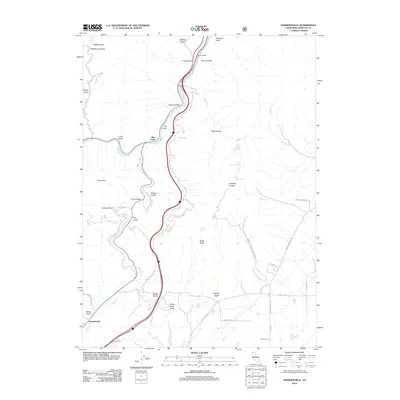
 2001 Hawkinsville2004 Print · USGSSiskiyou County at the start of the millennium reveals a rugged landscape of mining history and river confluences. Researchers can trace the heritage of the Negro Boy Mine and Union Mine or locate the small settlements of Riverview and Hawkinsville.
 - 2001 Map of Badger Mountain, 2004 Print
 2001 Badger Mountain2004 Print · USGSSiskiyou County's gold-bearing river canyons and forest peaks are captured here in the early 2000s, reflecting a century of extraction. Genealogists and historians can locate former communities like Gottville or trace the Siskiyou Mine and Kanaka Cem among the many riverside bars.
 - 2012 Map of Hawkinsville, 2012 Print
 2012 Hawkinsville2012 Print · USGSCovers Yreka, including Hawkinsville, Jims Camp, and other nearby areas
 - 2012 Map of Montague, 2012 Print
 2012 Montague2012 Print · USGSCovers Yreka, including Montague, Grenada, and other nearby areas
 - 2012 Map of Badger Mountain, 2012 Print
 2012 Badger Mountain2012 Print · USGSCovers Yreka, including Gottville, Swiss Bar, and other nearby areas
Showing maps 1-25 of 38
Top cities near Yreka
Frequently asked questions
- What are the different types of historical maps available for Yreka?
- What is the oldest map of Yreka?
- Where can I purchase historical maps of Yreka for my home or office?
- Where can I download high-res historical maps of Yreka?
- Are there historical topographic maps available for Yreka?
- Is there historical aerial imagery available for Yreka?
- Where are historical maps of Yreka sourced from?