2010s Maps of Yuma County, Colorado
Explore 224 historic maps of Yuma County from the 2010s. These maps offer a rare glimpse into what life looked like during the 2010s — showing old roads, neighborhoods, homes, and landmarks that have changed or disappeared over time.
Whether you're researching your family's past, planning a metal detecting trip, or studying how Yuma County's landscape evolved across the 2010s, these high-resolution maps are a powerful tool for exploring the history of this region.
- Focus on a specific era: All maps on this page are from the 2010s, giving you a focused view of this time period.
- See what’s changed: Compare century-old streets, trails, and buildings to today's modern landscape using overlays and satellite layers.
- Research with precision: Use these maps for genealogy, historical research, land use analysis, or educational projects.
- View, download, or print: Maps are fully viewable online in high resolution, and can be downloaded or printed for your own records.
Start exploring Yuma County's history through authentic maps from the 2010s. This is your window into the past.
Yuma County, CO maps
(224)- 2010 Map of Eckley NW, 2010 Print
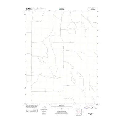 2010 Eckley NW2010 Print · USGSNortheast Colorado's rural high plains are shown at the start of the 2010s, organized by a precise network of agricultural section roads. Researchers can trace the exact layout of local property access along County Rd 46, County Rd 43, and County Rd W.
 - 2010 Map of Alvin, 2010 Print
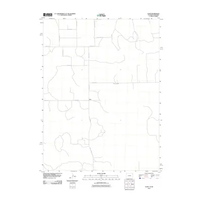 2010 Alvin2010 Print · USGSThe Colorado-Nebraska borderlands are captured here in the early twenty-first century, showing the remote agricultural landscape of Yuma County. Researchers can trace rural landmarks and family burial sites like Hughes Cemetery or the sparse settlement at Alvin.
 - 2010 Map of Wray, 2010 Print
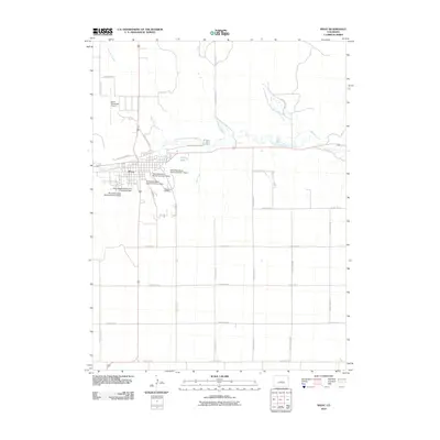 2010 Wray2010 Print · USGSThe river valley at Wray is captured here during the first decade of the 2000s, showcasing the region's intricate irrigation and watershed management. Researchers can trace the local infrastructure from Wray Municipal Airport to the numerous watershed dams and the Grandview Cemetery.
 - 2010 Map of Wray NE, 2010 Print
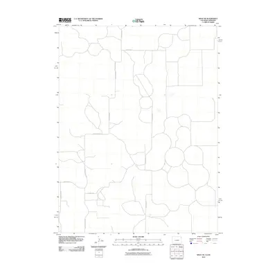 2010 Wray NE2010 Print · USGSThe high plains along the Colorado-Nebraska border appear in the early twenty-first century as a meticulously gridded landscape of agricultural production. Modern surveyors and researchers can trace the rural infrastructure along County Road RR, County Road SS, and County Road 40.
 - 2010 Map of Wauneta NE, 2010 Print
 2010 Wauneta NE2010 Print · USGSYuma County, Colorado, is captured here in the early twenty-first century, showcasing the systematic grid of its agricultural heartland. Researchers can trace the exact routes of rural section-line roads like County Rd-10, County Rd-35, and County Road 88.
 - 2010 Map of Clarkville SE, 2010 Print
 2010 Clarkville SE2010 Print · USGSYuma County at the start of the 2010s remains a landscape of vast agricultural grids and quiet rural traditions. Genealogists and local historians can locate the Pleasant Valley Methodist Church Cemetery or trace the winding path of Rock Creek through the section lines.
 - 2010 Map of Otis SE, 2010 Print
 2010 Otis SE2010 Print · USGSYuma County displays its characteristic rural grid during the early twenty-first century. Researchers can trace the exact alignment of local thoroughfares like County Rd 34, County Rd B, and County Rd 31 through this agricultural landscape.
 - 2010 Map of Clarkville NE, 2010 Print
 2010 Clarkville NE2010 Print · USGSNortheastern Colorado's rural agriculture and high plains terrain are documented here at the turn of the millennium. Genealogists and land researchers can trace property boundaries and access routes along Patent Creek, County Rd-10, and County Road S.
 - 2010 Map of Old Baldy, 2010 Print
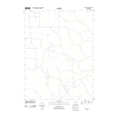 2010 Old Baldy2010 Print · USGSThe high plains of Yuma County are captured here at the start of the decade, centered on the landmark of Old Baldy. Researchers can trace the rural road network including County Rd-55 and County Rd 47 as they navigate the local terrain.
 - 2010 Map of Lone Star, 2010 Print
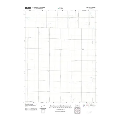 2010 Lone Star2010 Print · USGSLone Star and the plains of eastern Colorado are shown here in the early twenty-first century, revealing a landscape defined by its grid of section roads. Researchers can locate Schlake Cemetery and trace the paths of Rock Creek or Surveyor Creek through this rural area.
 - 2010 Map of Alvin NE, 2010 Print
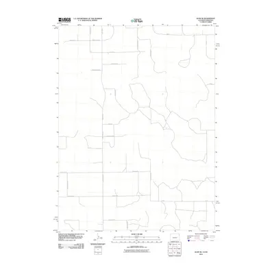 2010 Alvin NE2010 Print · USGSThe Colorado-Nebraska borderlands are shown here in the early twenty-first century, featuring the precise section-line road grid of the High Plains. Researchers can trace rural property access and drainage along Creek 60, County Rd NN.5, and County Rd SS.
 - 2010 Map of Clarkville SW, 2010 Print
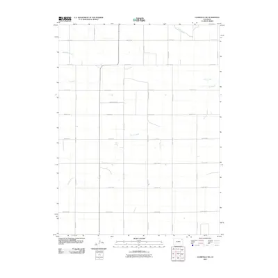 2010 Clarkville SW2010 Print · USGSEastern Colorado's agricultural grid and prairie waterways are captured here at the start of the 2010s. Researchers can trace the path of Surveyor Creek and Rock Creek as they weave through a landscape of section lines like County Rd-50.
 - 2010 Map of Clarkville, 2010 Print
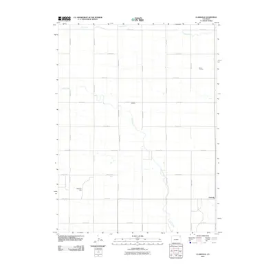 2010 Clarkville2010 Print · USGSSettlement and prairie life in eastern Colorado are captured here in the early twenty-first century. Genealogists and local researchers can locate Bryant Cemetery, Rockland Cemetery, and the community of Clarkville amidst the drainage of Coyote Creek.
 - 2010 Map of Eckley, 2010 Print
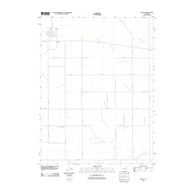 2010 Eckley2010 Print · USGSThe high plains of eastern Colorado come into focus in this early 21st-century record of agricultural life and small-town structure. Genealogists and local historians can trace family ties at the Eckley Cemetery or locate gathering places like the Bethel Community Hall.
 - 2010 Map of Schramm, 2010 Print
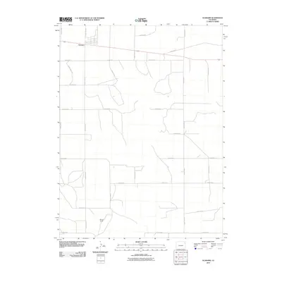 2010 Schramm2010 Print · USGSThe eastern Colorado plains near Schramm are shown at the turn of the decade, revealing a meticulously surveyed grid of rural infrastructure. Researchers can trace the section-line network of County Road P and County Road R or locate landmarks like Mount Yuma.
 - 2010 Map of Fiddler Peak, 2010 Print
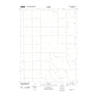 2010 Fiddler Peak2010 Print · USGSYuma County in the early twenty-first century is defined by its vast agricultural grid and the seasonal flow of Patent Creek. Researchers can trace the modern road network from County Road V to the heights of Fiddler Peak.
 - 2010 Map of Hyde, 2010 Print
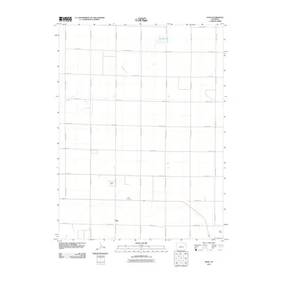 2010 Hyde2010 Print · USGSThe eastern Colorado plains near Hyde are captured here in the early twenty-first century, showing a landscape defined by ranching and energy. Researchers can locate the Hyde Cemetery, the Hyde Oil Field, and the rail infrastructure at Yuma Siding.
 - 2010 Map of New Haven, 2010 Print
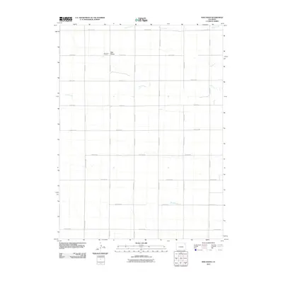 2010 New Haven2010 Print · USGSNew Haven and the surrounding Logan County plains appear here in the early twenty-first century, showing a landscape defined by its grid of section roads. Researchers can locate the New Haven Cemetery and trace the paths of Coyote Creek and Patent Creek as they meander across the rural acreage.
 - 2010 Map of Wauneta, 2010 Print
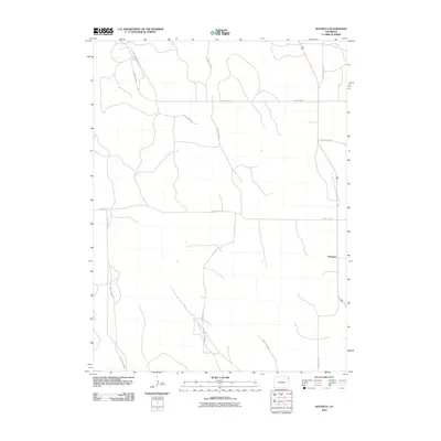 2010 Wauneta2010 Print · USGSEastern Colorado's rural landscape is captured here during the first decade of the new millennium, showing a region defined by agricultural heritage. Genealogists and local historians can trace property boundaries and travel routes along County Rd 54 and near Wauneta.
 - 2010 Map of Robb, 2010 Print
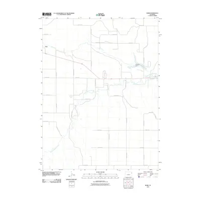 2010 Robb2010 Print · USGSEastern Colorado's high plains are captured here in the early twenty-first century, showing a landscape defined by ranching and vital water sources. You can trace the path of the North Fork Republican River and locate the settlement of Robb and Stalker Lake.
 - 2010 Map of Yuma NE, 2010 Print
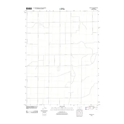 2010 Yuma NE2010 Print · USGSThe Colorado High Plains are captured here in the early 21st century, showing a landscape defined by an extensive grid of section-line roads. Researchers can trace the agricultural boundaries and rural infrastructure along County Rd 46, County Rd M, and County Rd 40.
 - 2010 Map of Alvin SW, 2010 Print
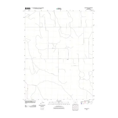 2010 Alvin SW2010 Print · USGSYuma County’s rural high plains are shown in this modern survey, capturing the agricultural grid of eastern Colorado. Researchers can locate the Triangle Cemetery and trace the network of numbered routes like County Road 54 and County Road JJ.
 - 2010 Map of Wray NW, 2010 Print
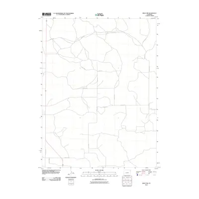 2010 Wray NW2010 Print · USGSYuma County's agricultural grid is meticulously documented in this survey from the early twenty-first century. Researchers can trace the section-line roads that define local property and travel, including County Road NN and County Road PP.
 - 2010 Map of Eckley NE, 2010 Print
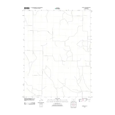 2010 Eckley NE2010 Print · USGSThe High Plains of Yuma County are captured here in the early twenty-first century, showing the enduring geometry of Colorado's rural road grid. Trace the layout of property boundaries and section lines through local markers like County Road Cc and County Rd 39.
 - 2010 Map of Yuma South, 2010 Print
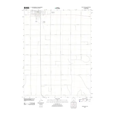 2010 Yuma South2010 Print · USGSYuma County at the start of the decade shows a precisely gridded landscape of agricultural expansion and rural aviation. Researchers can trace the development of Yuma and locate outlying features like Lake Yuma or the Yuma Municipal Airport.
Showing maps 1-25 of 224
Top cities of Yuma County
Frequently asked questions
- What are the different types of historical maps available for Yuma County?
- What is the oldest map of Yuma County?
- Where can I purchase historical maps of Yuma County for my home or office?
- Where can I download high-res historical maps of Yuma County?
- Are there historical topographic maps available for Yuma County?
- Is there historical aerial imagery available for Yuma County?
- Where are historical maps of Yuma County sourced from?