2000s (21st Century) Maps of Connecticut
Explore 631 historic maps of Connecticut from the 2000s (21st Century). These maps offer a rare glimpse into what life looked like during the 2000s — showing old roads, neighborhoods, homes, and landmarks that have changed or disappeared over time.
Whether you're researching your family's past, planning a metal detecting trip, or studying how Connecticut's landscape evolved across the 2000s, these high-resolution maps are a powerful tool for exploring the history of this region.
- Focus on a specific era: All maps on this page are from the 2000s, giving you a focused view of this time period.
- See what’s changed: Compare century-old streets, trails, and buildings to today's modern landscape using overlays and satellite layers.
- Research with precision: Use these maps for genealogy, historical research, land use analysis, or educational projects.
- View, download, or print: Maps are fully viewable online in high resolution, and can be downloaded or printed for your own records.
Start exploring Connecticut's history through authentic maps from the 2000s. This is your window into the past.
Connecticut maps
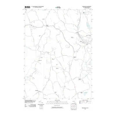
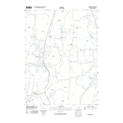
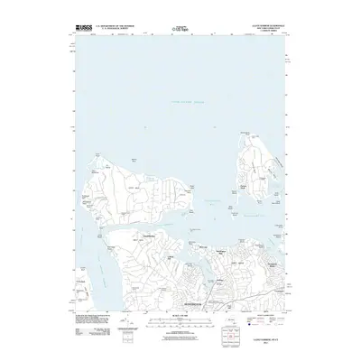
(631)- 2001 Map of Watch Hill, 2003 Print
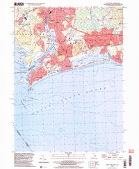 2001 Watch Hill2003 Print · USGSCoastal Rhode Island and Connecticut meet along the Pawcatuck River at the dawn of the millennium. Genealogists and maritime historians can trace property lines near Clarks Village, locate the Watch Hill Lighthouse, and explore the shoreline of Winnapaug Pond.
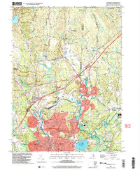
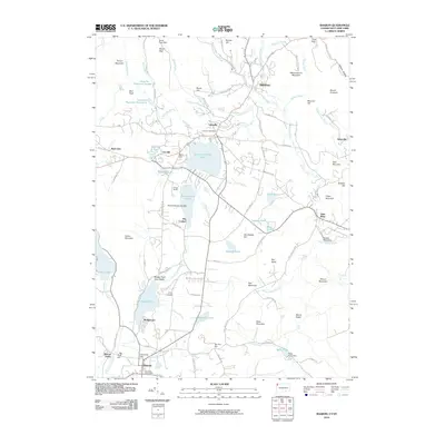
 - 2001 Map of Voluntown, 2003 Print
 2001 Voluntown2003 Print · USGSThe Connecticut and Rhode Island borderlands are captured here in the early 2000s, defined by the reach of Pachaug State Forest. Genealogists and hikers can trace the Shetucket Turnpike or locate family sites like Kennedy Cem and Robbins Cem.
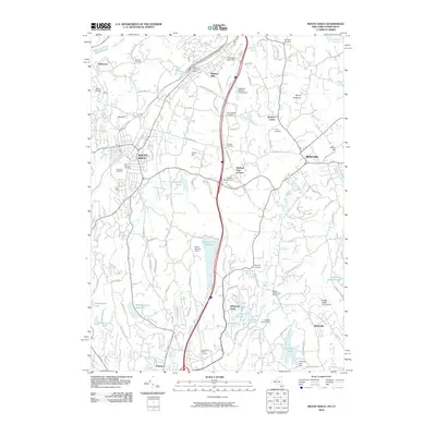
 - 2001 Map of Ashaway, 2003 Print
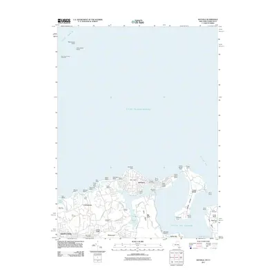
 2001 Ashaway2003 Print · USGSThe Rhode Island and Connecticut borderlands come alive in the early 2000s, showing the industrial river towns of Pawcatuck and Ashaway. Genealogists and historians can trace family-named sites from Potter Hill to the St Michael Cem and Ward High Sch.
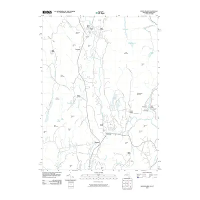
 - 2010 Map of Plum Island, 2010 Print
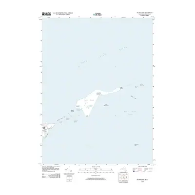 2010 Plum Island2010 Print · USGSCovers Connecticut, including East Hampton, Southold, and other nearby areas
 - 2010 Map of Amenia, 2010 Print
 2010 Amenia2010 Print · USGSCovers Connecticut, including Dover, Washington, and other nearby areas
 - 2010 Map of Peach Lake, 2010 Print
 2010 Peach Lake2010 Print · USGSCovers Connecticut, including Danbury, Ridgebury, and other nearby areas
 - 2010 Map of Millerton, 2010 Print
 2010 Millerton2010 Print · USGSCovers Connecticut, including Amenia, Stanford, and other nearby areas
 - 2010 Map of Dover Plains, 2010 Print
 2010 Dover Plains2010 Print · USGSCovers Connecticut, including Dover, New Milford, and other nearby areas
 - 2010 Map of Orient, 2010 Print
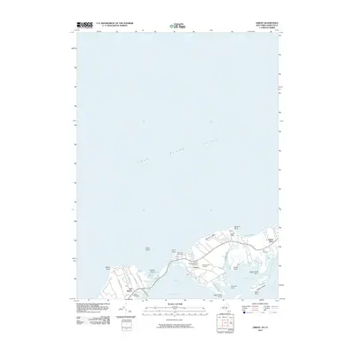 2010 Orient2010 Print · USGSCovers Connecticut, including Southold, Greenport West, and other nearby areas
 - 2010 Map of Brewster, 2010 Print
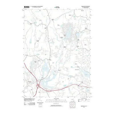 2010 Brewster2010 Print · USGSCovers Connecticut, including Danbury, Southeast, and other nearby areas
 - 2010 Map of Pawling, 2010 Print
 2010 Pawling2010 Print · USGSCovers Connecticut, including New Fairfield, Patterson, and other nearby areas
 - 2010 Map of Sharon, 2010 Print
 2010 Sharon2010 Print · USGSCovers Connecticut, including Salisbury, North East, and other nearby areas
 - 2010 Map of Mount Kisco, 2010 Print
 2010 Mount Kisco2010 Print · USGSCovers Connecticut, including Stamford, Greenwich, and other nearby areas
 - 2010 Map of Norwalk North, 2010 Print
 2010 Norwalk North2010 Print · USGSCovers Connecticut, including Norwalk, Westport, and other nearby areas
 - 2011 Map of Lloyd Harbor, 2011 Print
 2011 Lloyd Harbor2011 Print · USGSCovers Connecticut, including Oyster Bay, Huntington, and other nearby areas
 - 2011 Map of Mamaroneck, 2011 Print
 2011 Mamaroneck2011 Print · USGSCovers Connecticut, including North Hempstead, New Rochelle, and other nearby areas
 - 2011 Map of Bayville, 2011 Print
 2011 Bayville2011 Print · USGSCovers Connecticut, including Oyster Bay, Stamford, and other nearby areas
 - 2011 Map of Mystic, 2011 Print
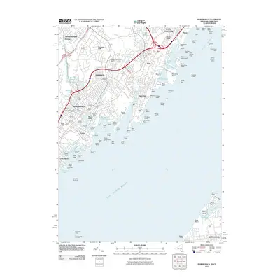
 2011 Mystic2011 Print · USGSCovers Connecticut, including Groton, Southold, and other nearby areas
 - 2012 Map of Thompson, 2012 Print
 2012 Thompson2012 Print · USGSCovers Connecticut, including Killingly, Burrillville, and other nearby areas
 - 2012 Map of Jewett City, 2012 Print
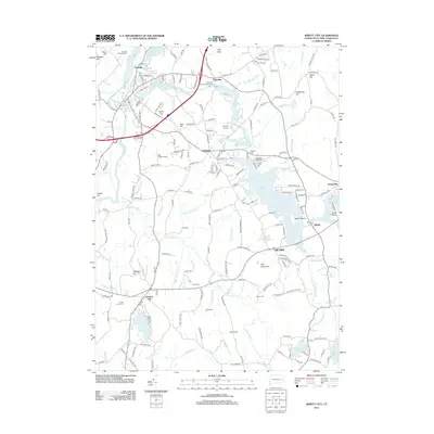 2012 Jewett City2012 Print · USGSCovers Connecticut, including Griswold, North Stonington, and other nearby areas
 - 2012 Map of Oneco, 2012 Print
 2012 Oneco2012 Print · USGSCovers Connecticut, including Coventry, Plainfield, and other nearby areas
 - 2012 Map of Putnam, 2012 Print
 2012 Putnam2012 Print · USGSCovers Connecticut, including Killingly, Thompson, and other nearby areas
 - 2012 Map of East Killingly, 2012 Print
 2012 East Killingly2012 Print · USGSCovers Connecticut, including Killingly, Plainfield, and other nearby areas
 - 2012 Map of Voluntown, 2012 Print
 2012 Voluntown2012 Print · USGSCovers Connecticut, including Griswold, Hopkinton, and other nearby areas
 - 2012 Map of Danielson, 2012 Print
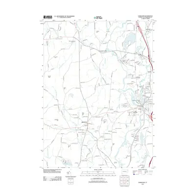 2012 Danielson2012 Print · USGSCovers Connecticut, including Killingly, Plainfield, and other nearby areas
Showing maps 1-25 of 631
Top cities of Connecticut
- Bridgeport historical maps
- Stamford historical maps
- Hartford historical maps
- New Haven historical maps
- Waterbury historical maps
- Norwalk historical maps
See more
Frequently asked questions
- What are the different types of historical maps available for Connecticut?
- What is the oldest map of Connecticut?
- Where can I purchase historical maps of Connecticut for my home or office?
- Where can I download high-res historical maps of Connecticut?
- Are there historical topographic maps available for Connecticut?
- Is there historical aerial imagery available for Connecticut?
- Where are historical maps of Connecticut sourced from?