2020s Maps of Connecticut
Explore 244 historic maps of Connecticut from the 2020s. These maps offer a rare glimpse into what life looked like during the 2020s — showing old roads, neighborhoods, homes, and landmarks that have changed or disappeared over time.
Whether you're researching your family's past, planning a metal detecting trip, or studying how Connecticut's landscape evolved across the 2020s, these high-resolution maps are a powerful tool for exploring the history of this region.
- Focus on a specific era: All maps on this page are from the 2020s, giving you a focused view of this time period.
- See what’s changed: Compare century-old streets, trails, and buildings to today's modern landscape using overlays and satellite layers.
- Research with precision: Use these maps for genealogy, historical research, land use analysis, or educational projects.
- View, download, or print: Maps are fully viewable online in high resolution, and can be downloaded or printed for your own records.
Start exploring Connecticut's history through authentic maps from the 2020s. This is your window into the past.
Connecticut maps
(244)- 2021 Map of Jewett City, 2021 Print
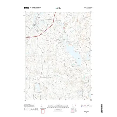 2021 Jewett City2021 Print · USGSJewett City and the surrounding villages of Griswold are shown in high detail during the early twenty-first century. Researchers can trace family history through numerous burial sites like Pachaug Cem or explore the waterways of Pachaug Pond and Amos Lake.
 - 2021 Map of East Killingly, 2021 Print
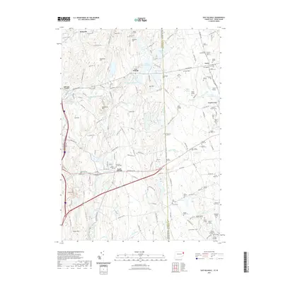 2021 East Killingly2021 Print · USGSEastern Connecticut and the Rhode Island borderlands are documented here in the early twenty-first century, showing a rural landscape defined by family farmsteads and upland brooks. Researchers can trace ancestral property and burial sites including the Old South Killingly Cem, Brainard Cem, and dozens of named family lots.
 - 2021 Map of Voluntown, 2021 Print
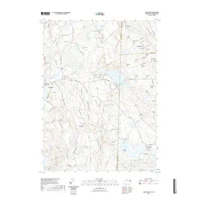 2021 Voluntown2021 Print · USGSThe Connecticut and Rhode Island borderlands are captured here in recent detail, showing a landscape defined by the Pachaug State Forest. Genealogists and hikers can trace dozens of family burial sites like the Caswell Plot and major trails including the Pachaug Tri.
 - 2021 Map of Old Mystic, 2021 Print
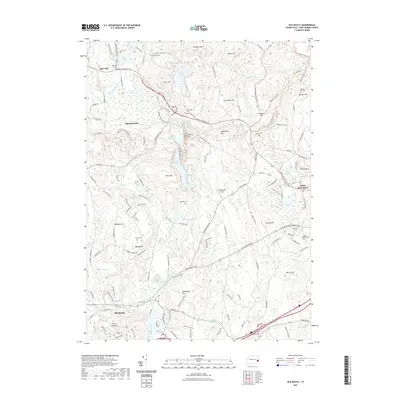 2021 Old Mystic2021 Print · USGSSoutheastern Connecticut at the start of the 2020s remains a landscape of deep-rooted family history and complex glacial terrain. Researchers can locate numerous ancestral burial grounds including Avery Cem and Brown Randall Cem alongside the waters of the Mystic River.
 - 2021 Map of Palmertown, 2021 Print
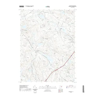 2021 Palmertown2021 Print · USGSSoutheastern Connecticut’s interior hills and valleys are documented here in the early twenty-first century. Genealogists can trace family heritage through numerous landmarks like Chesterfield Cem, Raymond Hill, and the historic settlement at Oakdale.
 - 2021 Map of Westford, 2021 Print
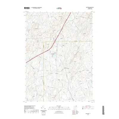 2021 Westford2021 Print · USGSIn the hills of northeastern Connecticut, this recent survey shows the persistent rural character of the Tolland and Windham county line. Genealogists can trace local lineages through Westford Village Cem and Moose Meadow Cem or locate the site of Tinkerville.
 - 2021 Map of Coventry, 2021 Print
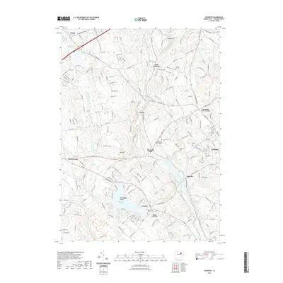 2021 Coventry2021 Print · USGSTolland County in the early twenty-first century reveals a landscape shaped by the Willimantic River and the growth of local educational institutions. Genealogists can trace family footprints at the Nathan Hale Cem or follow the path of the Central Vermont RR through Mansfield Depot.
 - 2021 Map of Uncasville, 2021 Print
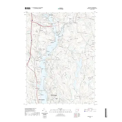 2021 Uncasville2021 Print · USGSThe riverfront villages between Norwich and New London are shown here in the early twenty-first century, anchored by the Thames River and the Mohegan heritage. Researchers can trace ancestral sites like Fort Shantok Indian Burying Ground and numerous local graveyards including Brewster's Neck Cem and Gales Ferry Cem.
 - 2021 Map of Colchester, 2021 Print
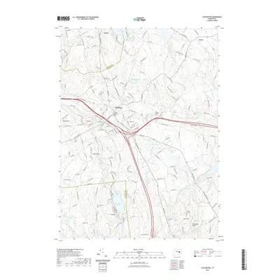 2021 Colchester2021 Print · USGSSoutheastern Connecticut at the start of the 2020s shows a landscape where historic town centers and converted rail lines meet. Genealogists and local historians can trace family-named landmarks like Buckley Hill or explore numerous burial sites including Saint Johns Cem and the Colchester Burying Ground Cem.
 - 2021 Map of Webster, 2021 Print
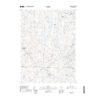 2021 Webster2021 Print · USGSDudley and the surrounding mill villages on the Connecticut border appear here in contemporary detail. Genealogists and hikers can trace family plots at Village Cem and Holy Trinity Cem or follow the path of the Midstate Trl.
 - 2021 Map of Scotland, 2021 Print
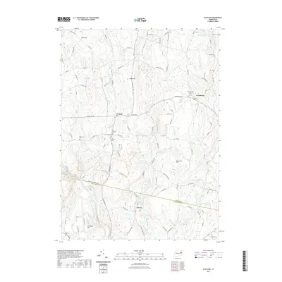 2021 Scotland2021 Print · USGSScotland and its surrounding hamlets are mapped here in the modern era, showing the enduring rural character of Eastern Connecticut. Genealogists can trace family burial sites at Old Scotland Cem and Westminster Cem or locate the historic Church Bridge.
 - 2021 Map of Oxford, 2021 Print
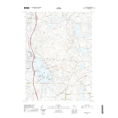 2021 Oxford2021 Print · USGSThe tri-state borderlands of Massachusetts, Connecticut, and Rhode Island are mapped here in the early twenty-first century. Genealogists can trace family sites at Sacred Heart of Jesus Cem or Bates Cem near the famous waters of Lake Chaubunagungamaug.
 - 2021 Map of Plainfield, 2021 Print
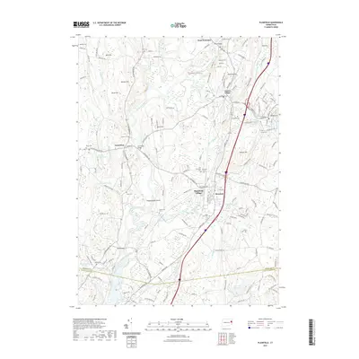 2021 Plainfield2021 Print · USGSNortheastern Connecticut’s river valleys appear in high detail here, tracing the historic corridor between Canterbury and Plainfield. Genealogists and researchers can locate numerous family burial sites such as Old Plainfield Cemetery and Carey Cemetery.
 - 2021 Map of Bristol, 2021 Print
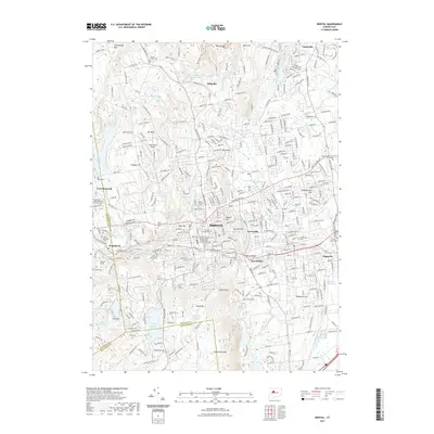 2021 Bristol2021 Print · USGSBristol and the surrounding valley appear in this contemporary survey, capturing a landscape shaped by the Pequabuck River and early industry. Researchers can find numerous landmarks like the Terryville Tunnel, Dunham Millpond, and Saint Josephs Cem.
 - 2021 Map of Norwich, 2021 Print
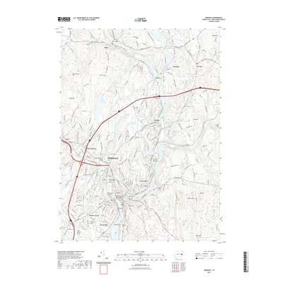 2021 Norwich2021 Print · USGSSoutheastern Connecticut's industrial heart is revealed in this modern survey of the river valleys where the Quinebaug and Shetucket meet. Genealogists can locate several historic burial sites, including the Old Uptown Burying Ground, Royal-Mohegan Burial Ground, and Smallpox and Indian Cem.
 - 2021 Map of Wallingford, 2021 Print
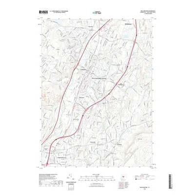 2021 Wallingford2021 Print · USGSThe Quinnipiac River valley south of Meriden appears here in the early twenty-first century as a bustling suburban and industrial corridor. Researchers can locate numerous historic burial grounds like In Memoriam Cem and landmarks such as Mansfield Bridge.
 - 2021 Map of New London, 2021 Print
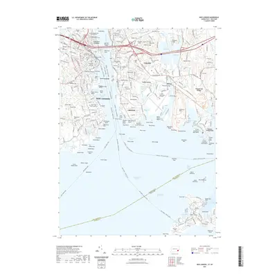 2021 New London2021 Print · USGSCoastal Connecticut and Fishers Island are shown in detail during the early 2020s, highlighting the enduring maritime character of the Thames River. Researchers can trace deep local roots at Ye Antientist Burial Ground or explore the military legacies of Fort Trumbull and Ft Griswold.
 - 2021 Map of Bridgeport, 2021 Print
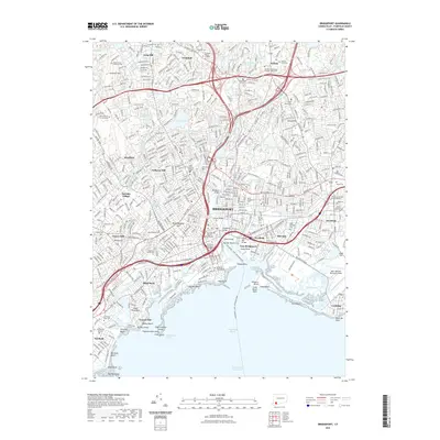 2021 Bridgeport2021 Print · USGSCoastal Connecticut’s industrial and educational landscape is revealed in this modern survey of the Fairfield County shoreline. Researchers can locate numerous historic burial sites such as Mountain Grove Cem and Old Burying Ground, alongside landmarks like Steel Point.
 - 2021 Map of Sharon, 2021 Print
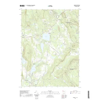 2021 Sharon2021 Print · USGSThe Litchfield County borderlands come into focus in the early twenty-first century as the Appalachian National Scenic Trail traverses the eastern ridges. Researchers can locate historic burial sites like Town Hill Cem and trace the paths through Sharon Valley and Amesville.
 - 2021 Map of Torrington, 2021 Print
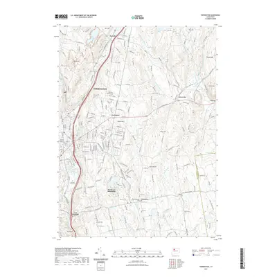 2021 Torrington2021 Print · USGSTorrington and its surrounding hill towns are captured in this recent survey, showcasing the dense river valley settlement and rural uplands. Researchers can trace local heritage through the Litchfield County Court House and numerous sites like Old Cem and Sons of Jacob Cem.
 - 2021 Map of Durham, 2021 Print
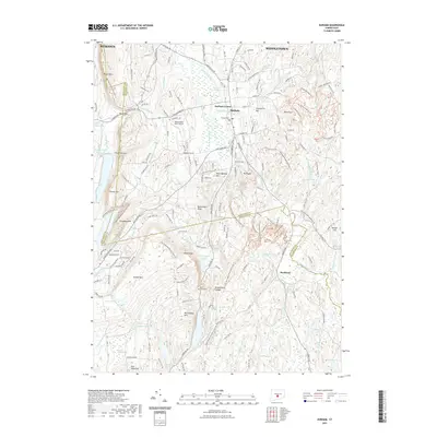 2021 Durham2021 Print · USGSDurham and the surrounding ridges of central Connecticut appear here in the early twenty-first century. Researchers can trace historic settlements and landmarks such as Durham Center, Meetinghouse Hill, and the secluded Rockland district.
 - 2021 Map of Newtown, 2021 Print
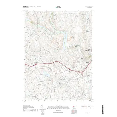 2021 Newtown2021 Print · USGSFairfield County's historic crossroads come into focus in this recent survey of the Newtown area. Researchers can trace the layout of old burial grounds like Newtown Village Cemetery and follow the rail lines of the Housatonic RR.
 - 2021 Map of Stamford, 2021 Print
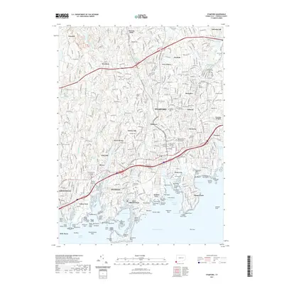 2021 Stamford2021 Print · USGSThe Fairfield County shoreline in 2021 shows a highly developed landscape where modern infrastructure meets centuries of history. Researchers can trace ancestral sites at the Old Burying Ground, Beth-el Cem, and the Hitchcock Family Burying Ground.
 - 2021 Map of Sherwood Point, 2021 Print
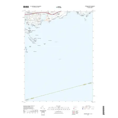 2021 Sherwood Point2021 Print · USGSThe Connecticut shoreline meets the Long Island Sound in this recent survey of the Fairfield County coast. Geologists and locals can trace the detailed bathymetry around the Norwalk Islands and modern developments at Saugatuck Shores and Sherwood Island.
 - 2021 Map of Southington, 2021 Print
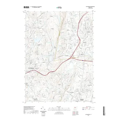 2021 Southington2021 Print · USGSSouthington and the Quinnipiac River valley appear here in detail during a period of sustained suburban growth and modern development. Researchers can trace historic cemeteries and local landmarks like the Merriman Burying Ground, Holy Trinity Cem, and Southington Reservoir Number 1.
Showing maps 1-25 of 244
Top cities of Connecticut
- Bridgeport historical maps
- Stamford historical maps
- Hartford historical maps
- New Haven historical maps
- Waterbury historical maps
- Norwalk historical maps
See more
Frequently asked questions
- What are the different types of historical maps available for Connecticut?
- What is the oldest map of Connecticut?
- Where can I purchase historical maps of Connecticut for my home or office?
- Where can I download high-res historical maps of Connecticut?
- Are there historical topographic maps available for Connecticut?
- Is there historical aerial imagery available for Connecticut?
- Where are historical maps of Connecticut sourced from?