2000s (21st Century) Maps of Wakulla County, Florida
Explore 113 historic maps of Wakulla County from the 2000s (21st Century). These maps offer a rare glimpse into what life looked like during the 2000s — showing old roads, neighborhoods, homes, and landmarks that have changed or disappeared over time.
Whether you're researching your family's past, planning a metal detecting trip, or studying how Wakulla County's landscape evolved across the 2000s, these high-resolution maps are a powerful tool for exploring the history of this region.
- Focus on a specific era: All maps on this page are from the 2000s, giving you a focused view of this time period.
- See what’s changed: Compare century-old streets, trails, and buildings to today's modern landscape using overlays and satellite layers.
- Research with precision: Use these maps for genealogy, historical research, land use analysis, or educational projects.
- View, download, or print: Maps are fully viewable online in high resolution, and can be downloaded or printed for your own records.
Start exploring Wakulla County's history through authentic maps from the 2000s. This is your window into the past.
Wakulla County, FL maps
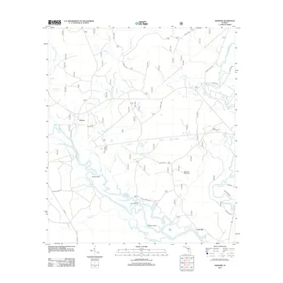
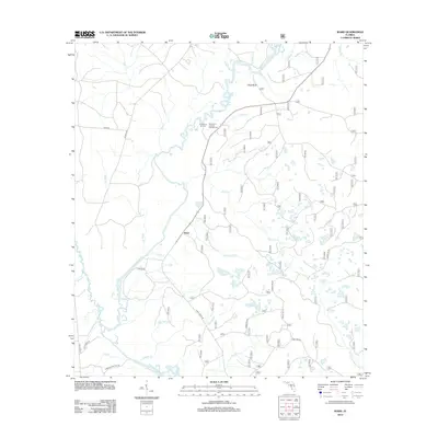
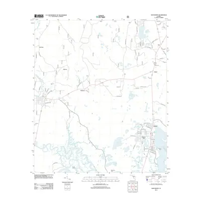
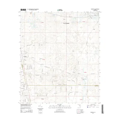
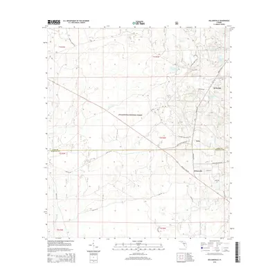
(113)- 2012 Map of McIntyre, 2012 Print
 2012 McIntyre2012 Print · USGSCovers Wakulla County, including Pine Log, Summer Camp Beach, and other nearby areas
 - 2012 Map of Saint Teresa, 2012 Print
 2012 Saint Teresa2012 Print · USGSCovers Wakulla County, including Surf, Saint Teresa, and other nearby areas
 - 2012 Map of Lighthouse Point, 2012 Print
 2012 Lighthouse Point2012 Print · USGSCovers Wakulla County, including Sun N Sand Beaches, Franklin County, and other nearby areas
 - 2012 Map of Smith Creek, 2012 Print
 2012 Smith Creek2012 Print · USGSCovers Wakulla County, including Smith Creek, Liberty County, and other nearby areas
 - 2012 Map of Saint Marks NE, 2012 Print
 2012 Saint Marks NE2012 Print · USGSCovers Wakulla County, including Jefferson County, United States, and other nearby areas
 - 2012 Map of Hilliardville, 2012 Print
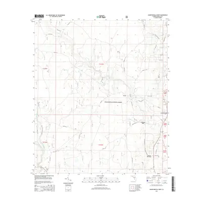
 2012 Hilliardville2012 Print · USGSCovers Wakulla County, including Hilliardville, Spring Hill, and other nearby areas
 - 2012 Map of Bradwell Bay, 2012 Print
 2012 Bradwell Bay2012 Print · USGSCovers Wakulla County, including United States, Florida, and other nearby areas
 - 2012 Map of Sanborn, 2012 Print
 2012 Sanborn2012 Print · USGSCovers Wakulla County, including Sopchoppy, Sanborn, and other nearby areas
 - 2012 Map of Cody, 2012 Print
 2012 Cody2012 Print · USGSCovers Wakulla County, including Limestone, Fanlew, and other nearby areas
 - 2012 Map of Crawfordville East, 2012 Print
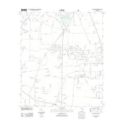
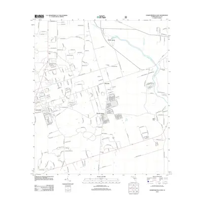 2012 Crawfordville East2012 Print · USGSCovers Wakulla County, including Hyde Park, Shadeville, and other nearby areas
 - 2012 Map of Woodville, 2012 Print
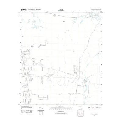 2012 Woodville2012 Print · USGSCovers Wakulla County, including Tallahassee, Rose, and other nearby areas
 - 2012 Map of Lake Talquin SE, 2012 Print
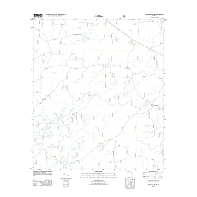 2012 Lake Talquin SE2012 Print · USGSCovers Wakulla County, including Leon County, United States, and other nearby areas
 - 2012 Map of Cobb Rocks, 2012 Print
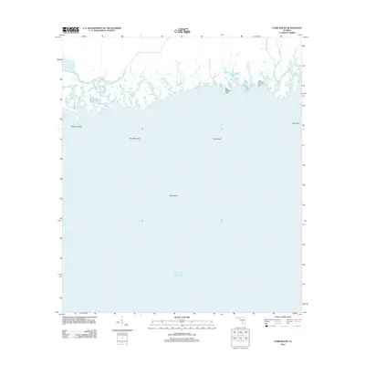 2012 Cobb Rocks2012 Print · USGSCovers Wakulla County, including Jefferson County, United States, and other nearby areas
 - 2012 Map of Crawfordville West, 2012 Print
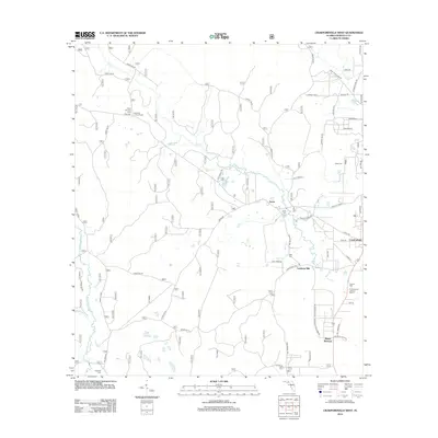 2012 Crawfordville West2012 Print · USGSCovers Wakulla County, including Crawfordville, Lawhons Mill, and other nearby areas
 - 2012 Map of Sprague Island, 2012 Print
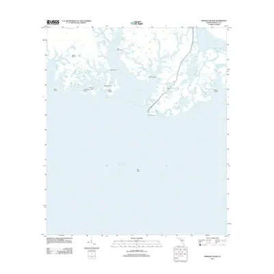 2012 Sprague Island2012 Print · USGSCovers Wakulla County, including United States, Florida, and other nearby areas
 - 2012 Map of Ward, 2012 Print
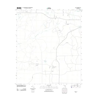
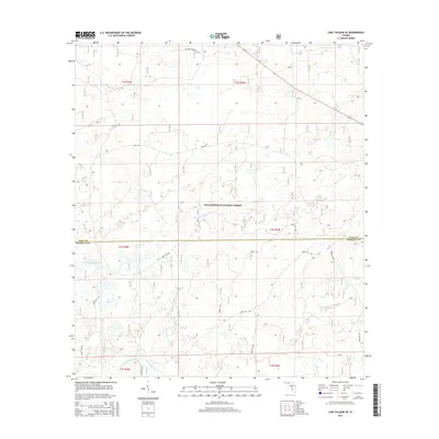
 2012 Ward2012 Print · USGSCovers Wakulla County, including Ward, Leon County, and other nearby areas
 - 2012 Map of Lake Munson, 2012 Print
 2012 Lake Munson2012 Print · USGSCovers Wakulla County, including Tallahassee, Lutterloh, and other nearby areas
 - 2012 Map of Spring Creek, 2012 Print
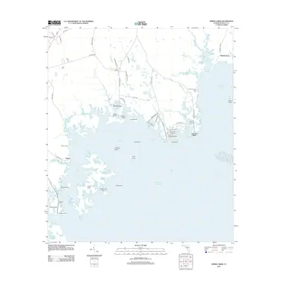 2012 Spring Creek2012 Print · USGSCovers Wakulla County, including Live Oak Island, Spring Creek, and other nearby areas
 - 2012 Map of Thousand Yard Bay, 2012 Print
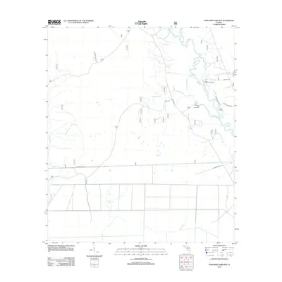 2012 Thousand Yard Bay2012 Print · USGSCovers Wakulla County, including Liberty County, Franklin County, and other nearby areas
 - 2012 Map of Saint Marks, 2012 Print
 2012 Saint Marks2012 Print · USGSCovers Wakulla County, including Saint Marks, Plum Orchard, and other nearby areas
 - 2012 Map of Sopchoppy, 2012 Print
 2012 Sopchoppy2012 Print · USGSCovers Wakulla County, including Sopchoppy, Oak Park, and other nearby areas
 - 2015 Map of Crawfordville West, 2015 Print
 2015 Crawfordville West2015 Print · USGSCovers Wakulla County, including Crawfordville, Lawhons Mill, and other nearby areas
 - 2015 Map of Woodville, 2015 Print
 2015 Woodville2015 Print · USGSCovers Wakulla County, including Tallahassee, Rose, and other nearby areas
 - 2015 Map of Lake Talquin SE, 2015 Print
 2015 Lake Talquin SE2015 Print · USGSCovers Wakulla County, including Leon County, United States, and other nearby areas
 - 2015 Map of Hilliardville, 2015 Print
 2015 Hilliardville2015 Print · USGSCovers Wakulla County, including Hilliardville, Spring Hill, and other nearby areas
Showing maps 1-25 of 113
Top cities of Wakulla County
Frequently asked questions
- What are the different types of historical maps available for Wakulla County?
- What is the oldest map of Wakulla County?
- Where can I purchase historical maps of Wakulla County for my home or office?
- Where can I download high-res historical maps of Wakulla County?
- Are there historical topographic maps available for Wakulla County?
- Is there historical aerial imagery available for Wakulla County?
- Where are historical maps of Wakulla County sourced from?