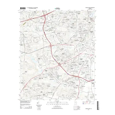
2000s (21st Century) Maps of Augusta, Georgia
Explore 75 historic maps of Augusta from the 2000s (21st Century). These maps offer a rare glimpse into what life looked like during the 2000s — showing old roads, neighborhoods, homes, and landmarks that have changed or disappeared over time.
Whether you're researching your family's past, planning a metal detecting trip, or studying how Augusta's landscape evolved across the 2000s, these high-resolution maps are a powerful tool for exploring the history of this region.
- Focus on a specific era: All maps on this page are from the 2000s, giving you a focused view of this time period.
- See what’s changed: Compare century-old streets, trails, and buildings to today's modern landscape using overlays and satellite layers.
- Research with precision: Use these maps for genealogy, historical research, land use analysis, or educational projects.
- View, download, or print: Maps are fully viewable online in high resolution, and can be downloaded or printed for your own records.
Start exploring Augusta's history through authentic maps from the 2000s. This is your window into the past.
Augusta, GA maps
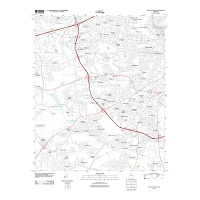
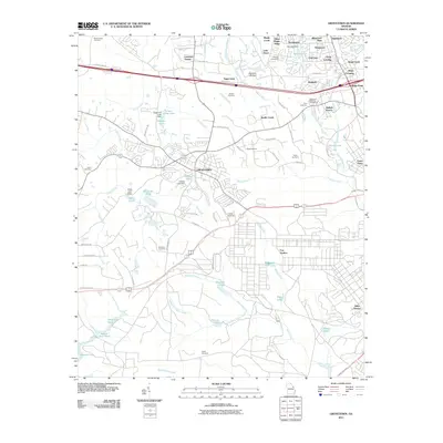
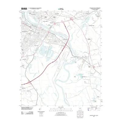
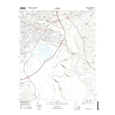
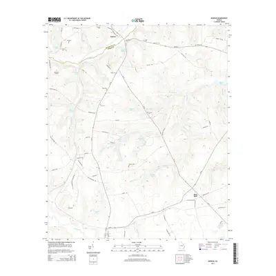
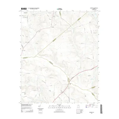
(75)- 2011 Map of McBean, 2011 Print
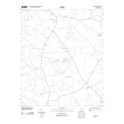 2011 McBean2011 Print · USGSCovers Augusta, including Shell Bluff, McBean, and other nearby areas
 - 2011 Map of Avondale, 2011 Print
 2011 Avondale2011 Print · USGSCovers Augusta, including Avondale, Richmond County, and other nearby areas
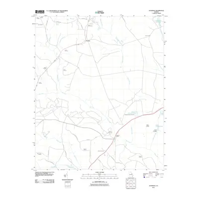
 - 2011 Map of Harlem, 2011 Print
 2011 Harlem2011 Print · USGSCovers Augusta, including Harlem, Campania, and other nearby areas
 - 2011 Map of Hephzibah, 2011 Print
 2011 Hephzibah2011 Print · USGSCovers Augusta, including Hephzibah, Rain Tree, and other nearby areas
 - 2011 Map of Augusta West, 2011 Print
 2011 Augusta West2011 Print · USGSCovers Augusta, including Southwick, Arrow Head, and other nearby areas
 - 2011 Map of Keysville, 2011 Print
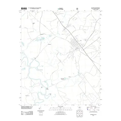
 2011 Keysville2011 Print · USGSCovers Augusta, including Hephzibah, Walker Grove, and other nearby areas
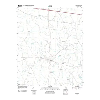
 - 2011 Map of Blythe, 2011 Print
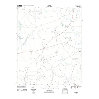 2011 Blythe2011 Print · USGSCovers Augusta, including Hephzibah, Keysville, and other nearby areas
 - 2011 Map of Storys Millpond, 2011 Print
 2011 Storys Millpond2011 Print · USGSCovers Augusta, including Hephzibah, Grove Mount, and other nearby areas
 - 2011 Map of Grovetown, 2011 Print
 2011 Grovetown2011 Print · USGSCovers Augusta, including Grovetown, Oak Lake, and other nearby areas
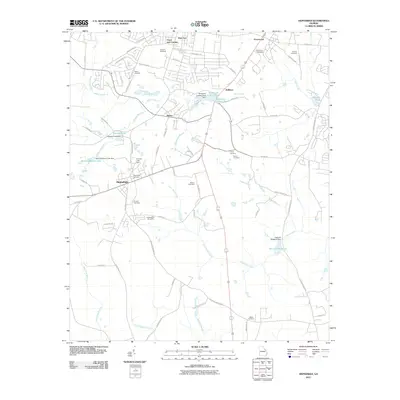
 - 2011 Map of Martinez, 2011 Print
 2011 Martinez2011 Print · USGSCovers Augusta, including North Augusta, Westport, and other nearby areas
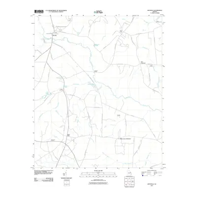
 - 2011 Map of Jackson, 2011 Print
 2011 Jackson2011 Print · USGSCovers Augusta, including Jackson, Grays Landing, and other nearby areas
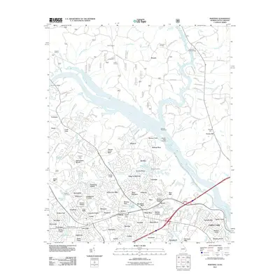
 - 2011 Map of North Augusta, 2011 Print
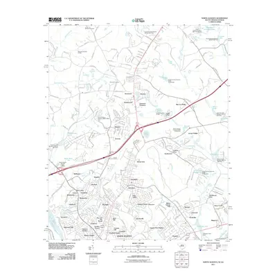 2011 North Augusta2011 Print · USGSCovers Augusta, including North Augusta, Burnettown, and other nearby areas
 - 2011 Map of Augusta East, 2011 Print
 2011 Augusta East2011 Print · USGSCovers Augusta, including North Augusta, Lynns Ranchettes, and other nearby areas
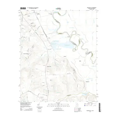
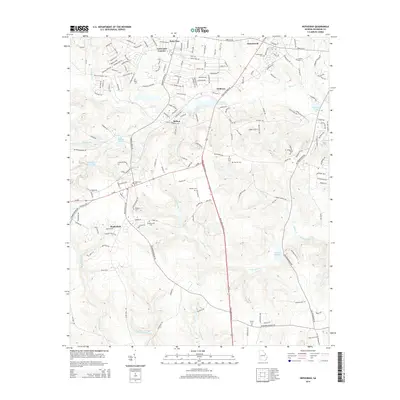
 - 2011 Map of Mechanic Hill, 2011 Print
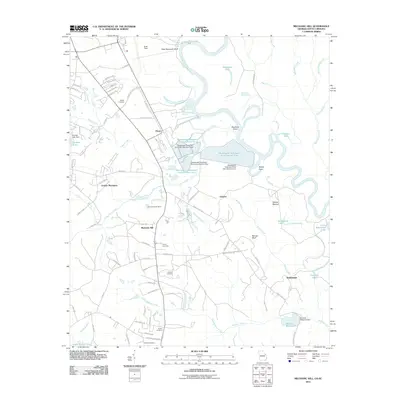 2011 Mechanic Hill2011 Print · USGSCovers Augusta, including Tahoma, Mechanic Hill, and other nearby areas
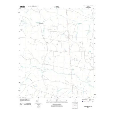
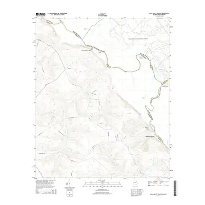
 - 2011 Map of Shell Bluff Landing, 2011 Print
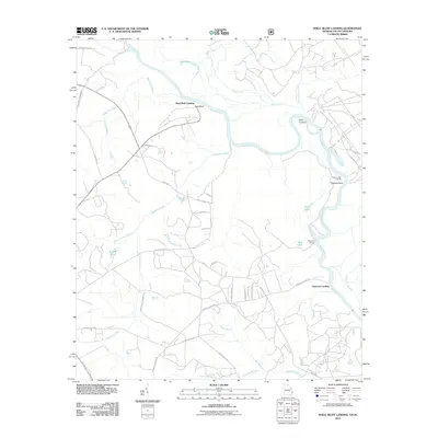 2011 Shell Bluff Landing2011 Print · USGSCovers Augusta, including Hancock Landing, Shell Bluff Landing, and other nearby areas
 - 2014 Map of Storys Millpond, 2014 Print
 2014 Storys Millpond2014 Print · USGSCovers Augusta, including Hephzibah, Grove Mount, and other nearby areas
 - 2014 Map of Augusta East, 2014 Print
 2014 Augusta East2014 Print · USGSCovers Augusta, including North Augusta, Lynns Ranchettes, and other nearby areas
 - 2014 Map of McBean, 2014 Print
 2014 McBean2014 Print · USGSCovers Augusta, including Shell Bluff, McBean, and other nearby areas
 - 2014 Map of Avondale, 2014 Print
 2014 Avondale2014 Print · USGSCovers Augusta, including Avondale, Richmond County, and other nearby areas
 - 2014 Map of Shell Bluff Landing, 2014 Print
 2014 Shell Bluff Landing2014 Print · USGSCovers Augusta, including Hancock Landing, Shell Bluff Landing, and other nearby areas
 - 2014 Map of Mechanic Hill, 2014 Print
 2014 Mechanic Hill2014 Print · USGSCovers Augusta, including Tahoma, Mechanic Hill, and other nearby areas
 - 2014 Map of Augusta West, 2014 Print
 2014 Augusta West2014 Print · USGSCovers Augusta, including Southwick, Arrow Head, and other nearby areas
 - 2014 Map of Martinez, 2014 Print
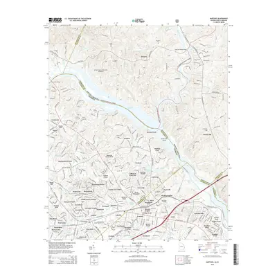 2014 Martinez2014 Print · USGSCovers Augusta, including North Augusta, Westport, and other nearby areas
 - 2014 Map of Hephzibah, 2014 Print
 2014 Hephzibah2014 Print · USGSCovers Augusta, including Hephzibah, Rain Tree, and other nearby areas
 - 2014 Map of Blythe, 2014 Print
 2014 Blythe2014 Print · USGSCovers Augusta, including Hephzibah, Keysville, and other nearby areas
Showing maps 1-25 of 75
Top cities near Augusta
- North Augusta historical maps
- Grovetown historical maps
- Hephzibah historical maps
- Harlem historical maps
- Appling historical maps
Top neighborhoods of Augusta
- Gordon Park historical maps
- Eastview historical maps
- Ellwood historical maps
- McBean historical maps
- Pine Heights historical maps
- Colony Park historical maps
See more
Frequently asked questions
- What are the different types of historical maps available for Augusta?
- What is the oldest map of Augusta?
- Where can I purchase historical maps of Augusta for my home or office?
- Where can I download high-res historical maps of Augusta?
- Are there historical topographic maps available for Augusta?
- Is there historical aerial imagery available for Augusta?
- Where are historical maps of Augusta sourced from?