2020s Maps of Augusta, Georgia
Explore 30 historic maps of Augusta from the 2020s. These maps offer a rare glimpse into what life looked like during the 2020s — showing old roads, neighborhoods, homes, and landmarks that have changed or disappeared over time.
Whether you're researching your family's past, planning a metal detecting trip, or studying how Augusta's landscape evolved across the 2020s, these high-resolution maps are a powerful tool for exploring the history of this region.
- Focus on a specific era: All maps on this page are from the 2020s, giving you a focused view of this time period.
- See what’s changed: Compare century-old streets, trails, and buildings to today's modern landscape using overlays and satellite layers.
- Research with precision: Use these maps for genealogy, historical research, land use analysis, or educational projects.
- View, download, or print: Maps are fully viewable online in high resolution, and can be downloaded or printed for your own records.
Start exploring Augusta's history through authentic maps from the 2020s. This is your window into the past.
Augusta, GA maps
(30)- 2020 Map of North Augusta, 2020 Print
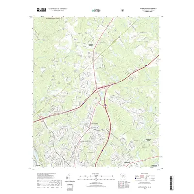 2020 North Augusta2020 Print · USGSCovers Augusta, including North Augusta, Burnettown, and other nearby areas
 - 2020 Map of Jackson, 2020 Print
 2020 Jackson2020 Print · USGSCovers Augusta, including Jackson, Grays Landing, and other nearby areas
 - 2020 Map of Augusta East, 2020 Print
 2020 Augusta East2020 Print · USGSCovers Augusta, including North Augusta, Lynns Ranchettes, and other nearby areas
 - 2020 Map of McBean, 2020 Print
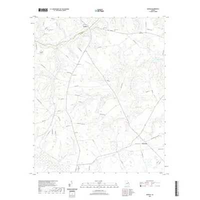 2020 McBean2020 Print · USGSCovers Augusta, including Shell Bluff, McBean, and other nearby areas
 - 2020 Map of Shell Bluff Landing, 2020 Print
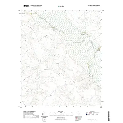 2020 Shell Bluff Landing2020 Print · USGSCovers Augusta, including Hancock Landing, Shell Bluff Landing, and other nearby areas
 - 2020 Map of Mechanic Hill, 2020 Print
 2020 Mechanic Hill2020 Print · USGSCovers Augusta, including Tahoma, Mechanic Hill, and other nearby areas
 - 2020 Map of Storys Millpond, 2020 Print
 2020 Storys Millpond2020 Print · USGSCovers Augusta, including Hephzibah, Grove Mount, and other nearby areas
 - 2020 Map of Blythe, 2020 Print
 2020 Blythe2020 Print · USGSCovers Augusta, including Hephzibah, Keysville, and other nearby areas
 - 2020 Map of Hephzibah, 2020 Print
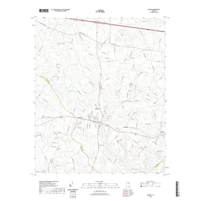
 2020 Hephzibah2020 Print · USGSCovers Augusta, including Hephzibah, Rain Tree, and other nearby areas
 - 2020 Map of Keysville, 2020 Print
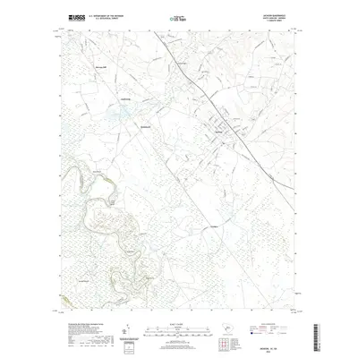
 2020 Keysville2020 Print · USGSCovers Augusta, including Hephzibah, Walker Grove, and other nearby areas
 - 2020 Map of Avondale, 2020 Print
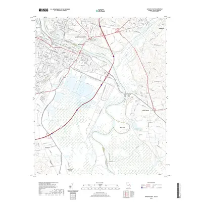
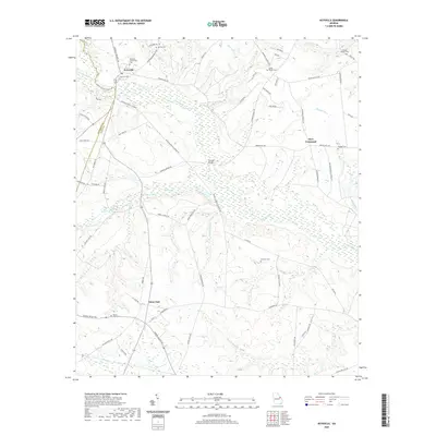
 2020 Avondale2020 Print · USGSCovers Augusta, including Avondale, Richmond County, and other nearby areas
 - 2020 Map of Harlem, 2020 Print
 2020 Harlem2020 Print · USGSCovers Augusta, including Harlem, Campania, and other nearby areas
 - 2020 Map of Grovetown, 2020 Print
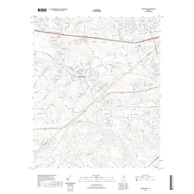 2020 Grovetown2020 Print · USGSCovers Augusta, including Grovetown, Oak Lake, and other nearby areas
 - 2020 Map of Martinez, 2020 Print
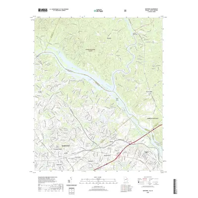 2020 Martinez2020 Print · USGSCovers Augusta, including North Augusta, Westport, and other nearby areas
 - 2020 Map of Augusta West, 2020 Print
 2020 Augusta West2020 Print · USGSCovers Augusta, including Southwick, Arrow Head, and other nearby areas
 - 2024 Map of Keysville, 2024 Print
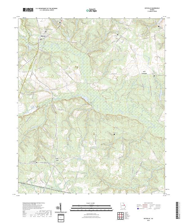 2024 Keysville2024 Print · USGSKeysville and the surrounding Burke County countryside are documented here in the early twenty-first century, showing a landscape defined by ancestral settlements and deep creek valleys. Genealogists can trace family connections at Keysville Cem, Gresham Cem, or Marks Mill Pond.
 - 2024 Map of Blythe, 2024 Print
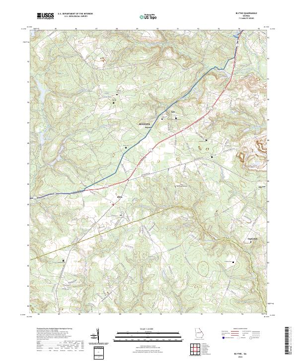 2024 Blythe2024 Print · USGSBlythe and the southern Richmond County landscape are documented here in the early twenty-first century. Genealogists can locate several family-named burial sites including Tarver Cem and Killebrew Cem near McBean Creek.
 - 2024 Map of Avondale, 2024 Print
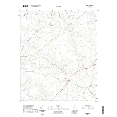
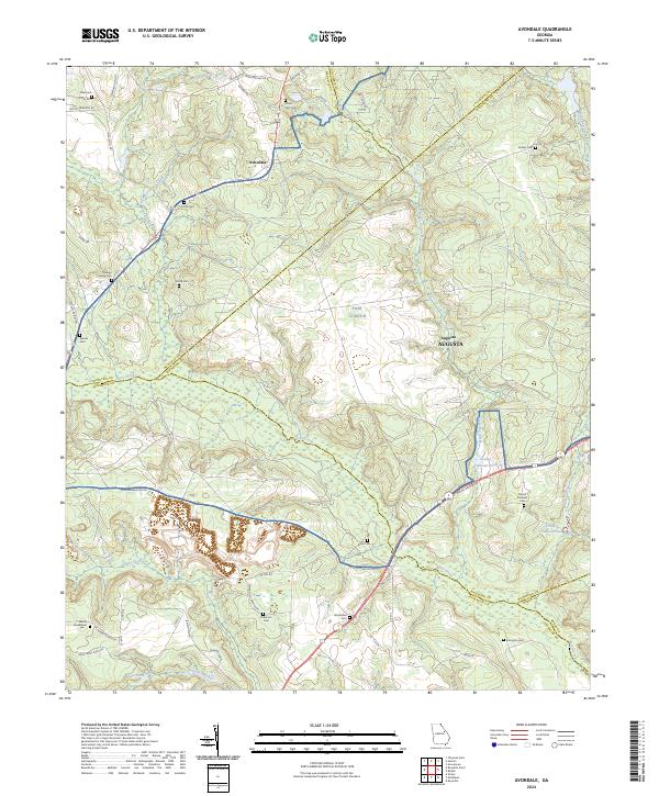 2024 Avondale2024 Print · USGSRichmond County's rural landscape is shown here as a patchwork of military lands and established family homesteads. Genealogists can trace family names through landmarks like the Reeves Family Cem, Arrington Cem, and the historic Mount Horeb Ch.
 - 2024 Map of Hephzibah, 2024 Print
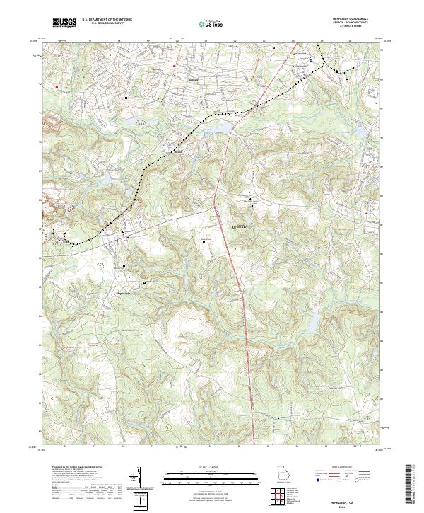 2024 Hephzibah2024 Print · USGSHephzibah and southern Augusta are documented here in the early twenty-first century as the region manages its historic water systems and growing residential roads. Genealogists can locate several family burial sites including Brothersville Cem and Malone Cem.
 - 2024 Map of McBean, 2024 Print
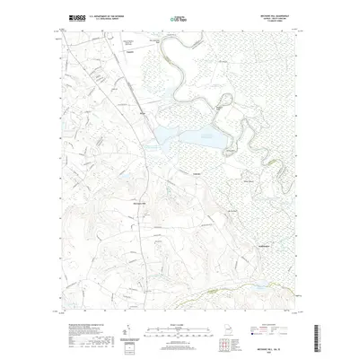
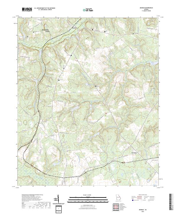 2024 McBean2024 Print · USGSThe Burke County countryside comes to life in this contemporary study of rural Georgia. Genealogists can trace family footprints across several local burial sites like Fulcher Cem and Mixon Cem or locate old homesteads near Shell Bluff.
 - 2024 Map of Storys Millpond, 2024 Print
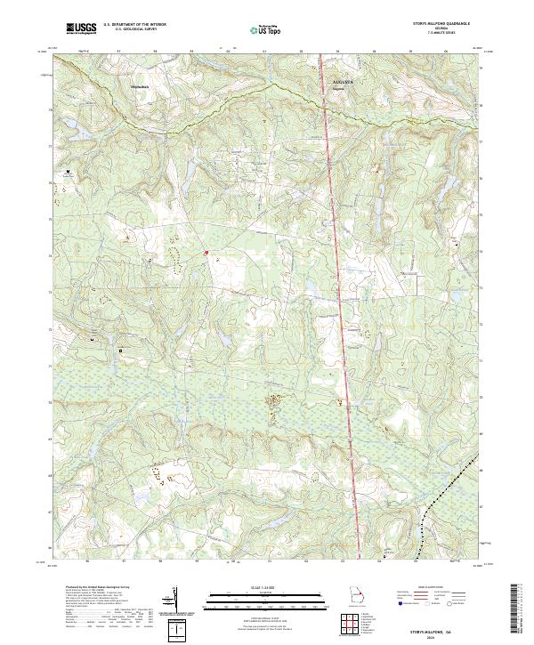 2024 Storys Millpond2024 Print · USGSSpanning the Richmond and Burke County line south of Augusta, this region is defined by its creek-fed millponds and family farmsteads. Genealogists can locate several burial grounds, including the Bines Slave Cem and Rachael Tucker Cem, near Hephzibah.
 - 2024 Map of Martinez, 2024 Print
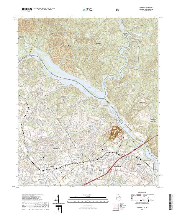 2024 Martinez2024 Print · USGSThe Savannah River borderlands between Georgia and South Carolina come alive in this modern survey of the Augusta suburbs. Researchers can trace ancestral sites like Abilene Baptist Church Cem or find old river landmarks including Ninety Nine Islands and Furys Ferry.
 - 2024 Map of Shell Bluff Landing, 2024 Print
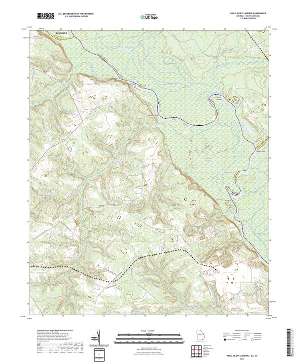 2024 Shell Bluff Landing2024 Print · USGSThe Savannah River borderlands in Burke County are captured here in the early twenty-first century, showing a landscape defined by water and woods. Researchers can trace historic river crossings at Demaries Ferry and Dog Ferry or locate landmarks like Shell Bluff.
 - 2024 Map of Mechanic Hill, 2024 Print
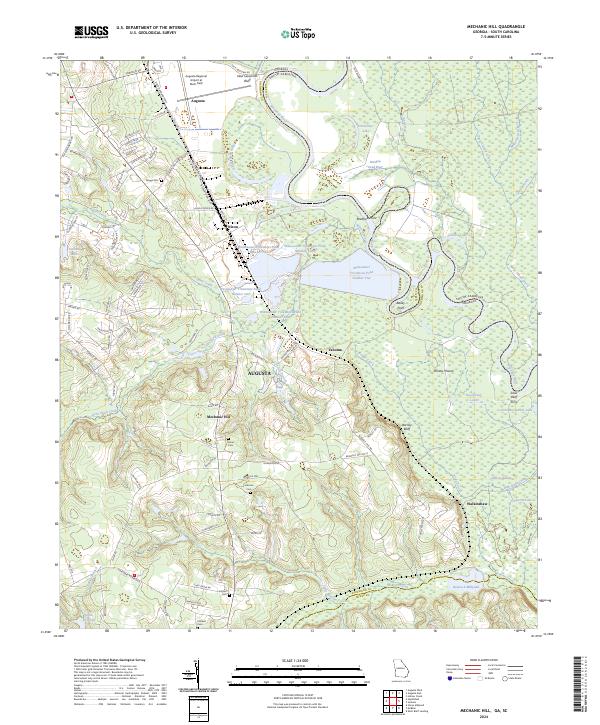 2024 Mechanic Hill2024 Print · USGSThe Savannah River lowlands south of Augusta are shown here in modern detail, revealing a mix of major infrastructure and rural heritage. Researchers can locate several family burial sites including Union Cem and Crockett Cem, or trace the old river connection at Silver Bluff Ferry.
 - 2024 Map of Grovetown, 2024 Print
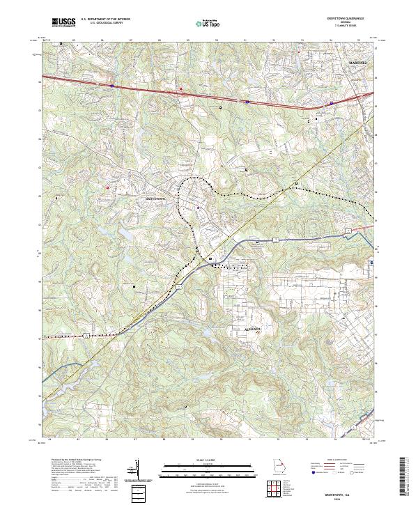 2024 Grovetown2024 Print · USGSThe border of Richmond and Columbia counties comes alive in this contemporary view of the Grovetown and Augusta suburbs. Researchers can locate numerous family burial sites like Newman Cem and the unique World War Two German Prisoner of War Cem near Fort Gordon.
Showing maps 1-25 of 30
Top cities near Augusta
- North Augusta historical maps
- Grovetown historical maps
- Hephzibah historical maps
- Harlem historical maps
- Appling historical maps
Top neighborhoods of Augusta
- Gordon Park historical maps
- Eastview historical maps
- Ellwood historical maps
- McBean historical maps
- Pine Heights historical maps
- Colony Park historical maps
See more
Frequently asked questions
- What are the different types of historical maps available for Augusta?
- What is the oldest map of Augusta?
- Where can I purchase historical maps of Augusta for my home or office?
- Where can I download high-res historical maps of Augusta?
- Are there historical topographic maps available for Augusta?
- Is there historical aerial imagery available for Augusta?
- Where are historical maps of Augusta sourced from?