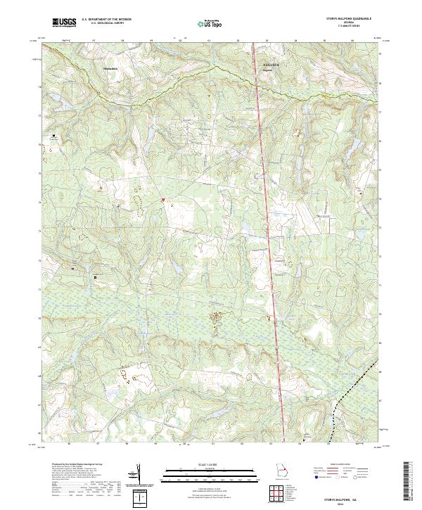
2024 Map of Storys Millpond
USGS Topo · Published 2024About this map
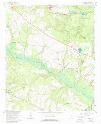
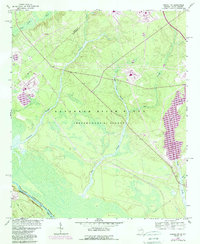
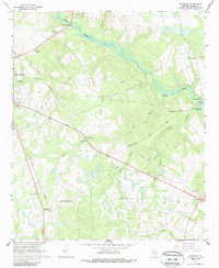
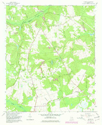
The Richmond Co and Burke Co boundary follows the winding course of McBean Creek through this transition from southern Augusta into rural Georgia. This terrain is defined by a dense network of water bodies, including Storys Millpond and several smaller impoundments like Woodwards Pond and Goldberg Pond. Historically significant sites are clustered in the western portion of the map, particularly near Hephzibah, where small family and community burial grounds are found among the woodlands. The inclusion of the Bines Slave Cem offers a rare and vital point of reference for genealogists and local historians documenting the region’s African American heritage and the antebellum landscape. Further south, the map follows the meandering Brier Creek and its many tributaries, such as Beaver Dam Creek and Hopeful Branch, which likely supported early local milling and agriculture.
Find a feature on this map
74 named features on this map. Tap any name to fly to it.
Don’t see what you’re looking for? This feature index may not catch every label — zoom into the map to look around manually.
Map Details
Editions of this 2024 Storys Millpond Map
This is the sole edition of this map. No revisions or reprints were ever made.
Historical Maps of Augusta Through Time
17 maps found
1920 Greens Cut
Burke County, GA
1943 Greens Cut
Burke County, GA
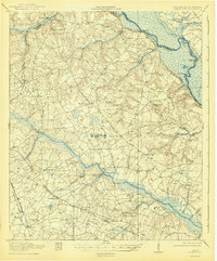
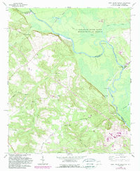
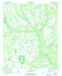
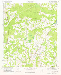
1950 Storys Millpond
Burke County, GA
1964 Alexander
Burke County, GA
1964 Girard NW
Burke County, GA
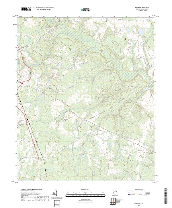
1964 Idlewood
Burke County, GA
1964 Mc Bean
Burke County, GA
1965 Shell Bluff Landing
Burke County, GA
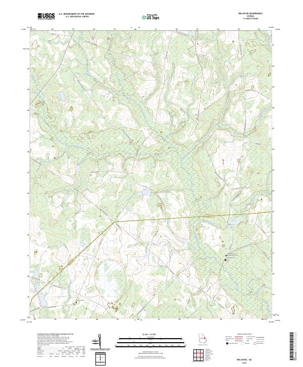
1974 Bellevue
Burke County, GA
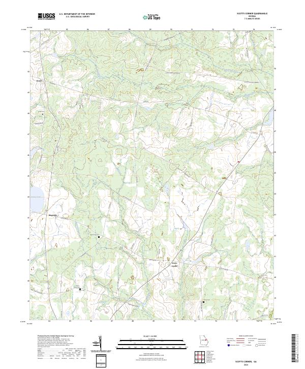
1974 Scotts Corner
Burke County, GA
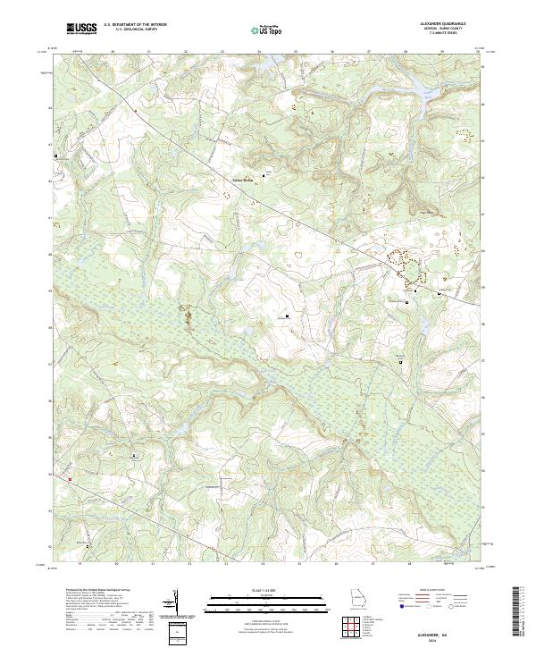
2024 Alexander
Burke County, GA
2024 Bellevue
Burke County, GA
2024 Idlewood
Burke County, GA
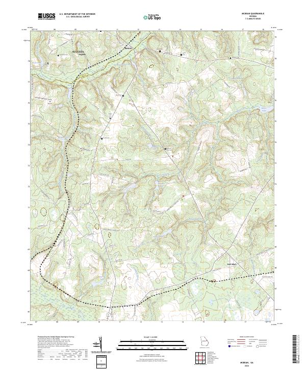
2024 McBean
Burke County, GA
2024 Scotts Corner
Burke County, GA
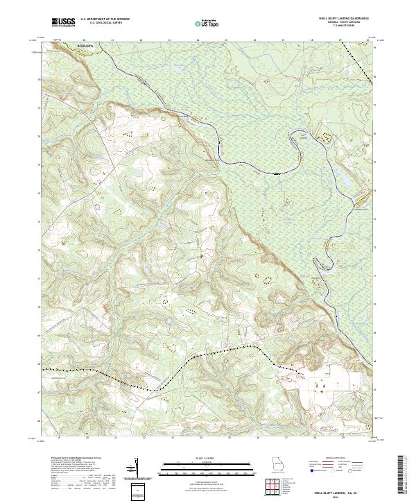
2024 Shell Bluff Landing
Burke County, GA
2024 Storys Millpond
Burke County, GA