2000s (21st Century) Maps of Honolulu County, Hawaii
Explore 51 historic maps of Honolulu County from the 2000s (21st Century). These maps offer a rare glimpse into what life looked like during the 2000s — showing old roads, neighborhoods, homes, and landmarks that have changed or disappeared over time.
Whether you're researching your family's past, planning a metal detecting trip, or studying how Honolulu County's landscape evolved across the 2000s, these high-resolution maps are a powerful tool for exploring the history of this region.
- Focus on a specific era: All maps on this page are from the 2000s, giving you a focused view of this time period.
- See what’s changed: Compare century-old streets, trails, and buildings to today's modern landscape using overlays and satellite layers.
- Research with precision: Use these maps for genealogy, historical research, land use analysis, or educational projects.
- View, download, or print: Maps are fully viewable online in high resolution, and can be downloaded or printed for your own records.
Start exploring Honolulu County's history through authentic maps from the 2000s. This is your window into the past.
Honolulu County, HI maps
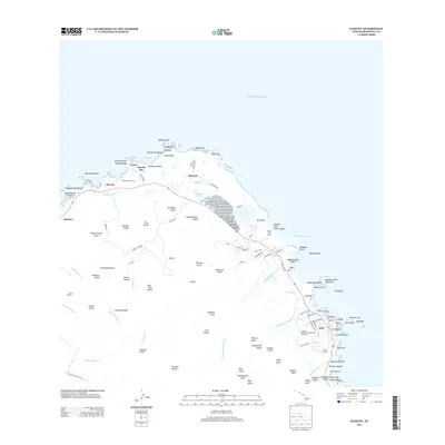
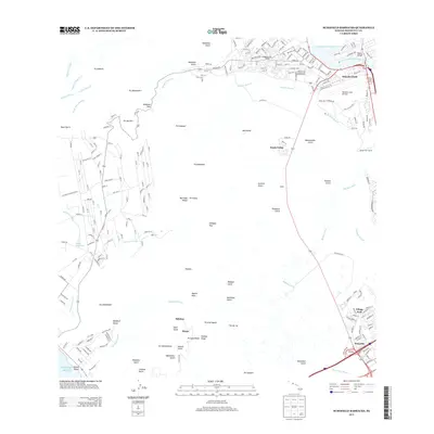
(51)- 2013 Map of Koko Head, 2013 Print
 2013 Koko Head2013 Print · USGSCovers Honolulu County, including Honolulu, East Honolulu, and other nearby areas
 - 2013 Map of Mokapu Point, 2013 Print
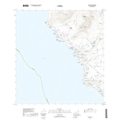
 2013 Mokapu Point2013 Print · USGSCovers Honolulu County, including Kailua, Kea‘alu, and other nearby areas
 - 2013 Map of Kahana, 2013 Print
 2013 Kahana2013 Print · USGSCovers Honolulu County, including Waikāne, Kaaawa, and other nearby areas
 - 2013 Map of Kahuku, 2013 Print
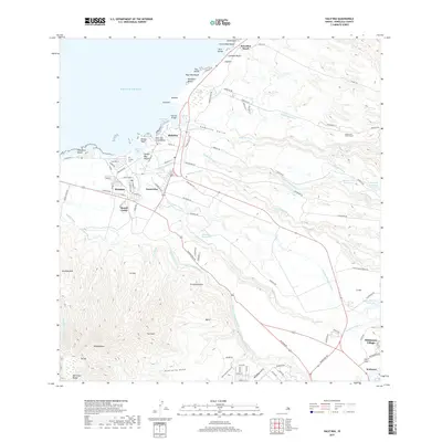
 2013 Kahuku2013 Print · USGSCovers Honolulu County, including Marconi, Camp Paumalū, and other nearby areas
 - 2013 Map of Pearl Harbor, 2013 Print
 2013 Pearl Harbor2013 Print · USGSCovers Honolulu County, including Honolulu, Ewa Beach, and other nearby areas
 - 2013 Map of Waipahu, 2013 Print
 2013 Waipahu2013 Print · USGSCovers Honolulu County, including Waipahu, Mililani, and other nearby areas
 - 2013 Map of Kaneohe, 2013 Print
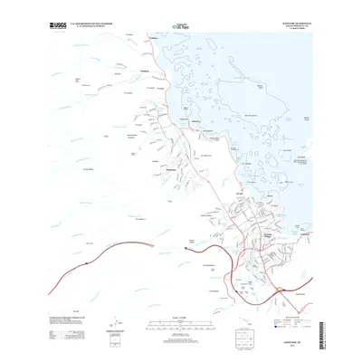 2013 Kaneohe2013 Print · USGSCovers Honolulu County, including Honolulu, Kaneohe, and other nearby areas
 - 2013 Map of Koko Head OE E, 2013 Print
 2013 Koko Head OE E2013 Print · USGSCovers Honolulu County, including Honolulu, United States, and other nearby areas
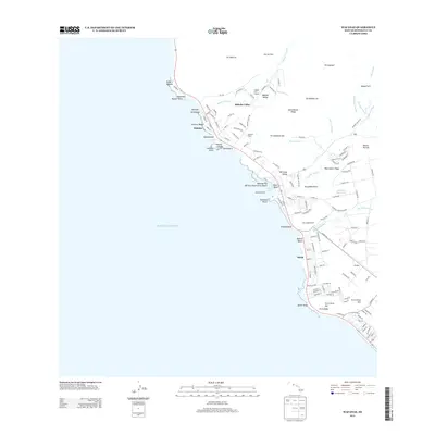
 - 2013 Map of Haleiwa, 2013 Print
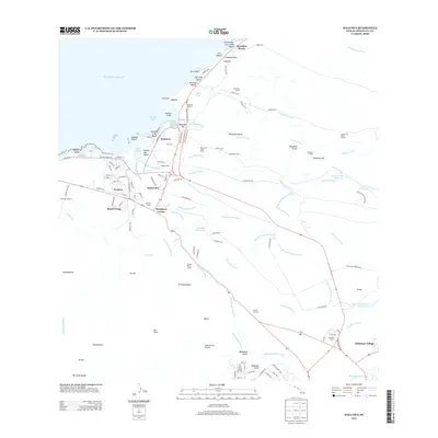 2013 Haleiwa2013 Print · USGSCovers Honolulu County, including Haleiwa, Waialua, and other nearby areas
 - 2013 Map of Schofield Barracks, 2013 Print
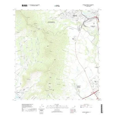
 2013 Schofield Barracks2013 Print · USGSCovers Honolulu County, including Akupu, Kunia Camp, and other nearby areas
 - 2013 Map of Ewa, 2013 Print
 2013 Ewa2013 Print · USGSCovers Honolulu County, including Kapolei, Kahe, and other nearby areas
 - 2013 Map of Kaena OE W, 2013 Print
 2013 Kaena OE W2013 Print · USGSCovers Honolulu County, including United States, Hawaii, and other nearby areas
 - 2013 Map of Kaena, 2013 Print
 2013 Kaena2013 Print · USGSCovers Honolulu County, including Mokulē‘ia, United States, and other nearby areas
 - 2013 Map of Waianae, 2013 Print
 2013 Waianae2013 Print · USGSCovers Honolulu County, including Waiʻanae, Nānākuli, and other nearby areas
 - 2013 Map of Waimea, 2013 Print
 2013 Waimea2013 Print · USGSCovers Honolulu County, including Waiale‘e, United States, and other nearby areas
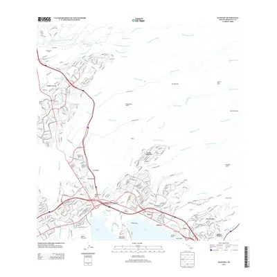
 - 2013 Map of Honolulu, 2013 Print
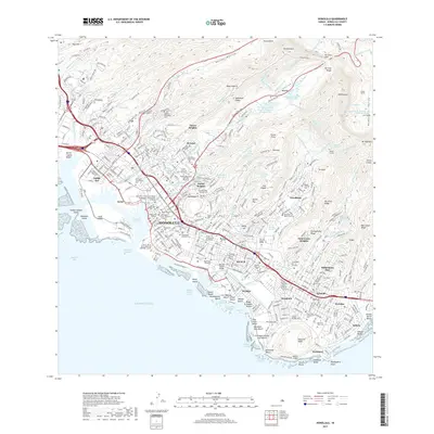
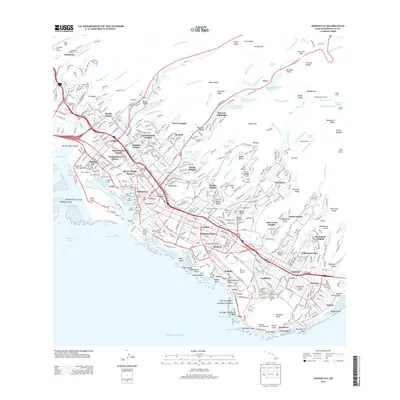 2013 Honolulu2013 Print · USGSCovers Honolulu County, including Honolulu, United States, and other nearby areas
 - 2013 Map of Hauula, 2013 Print
 2013 Hauula2013 Print · USGSCovers Honolulu County, including Wahiawā, Punaluu, and other nearby areas
 - 2017 Map of Haleiwa, 2017 Print
 2017 Haleiwa2017 Print · USGSCovers Honolulu County, including Haleiwa, Waialua, and other nearby areas
 - 2017 Map of Koko Head, 2017 Print
 2017 Koko Head2017 Print · USGSCovers Honolulu County, including Honolulu, East Honolulu, and other nearby areas
 - 2017 Map of Waianae, 2017 Print
 2017 Waianae2017 Print · USGSCovers Honolulu County, including Waiʻanae, Nānākuli, and other nearby areas
 - 2017 Map of Waimea, 2017 Print
 2017 Waimea2017 Print · USGSCovers Honolulu County, including Waiale‘e, United States, and other nearby areas
 - 2017 Map of Schofield Barracks, 2017 Print
 2017 Schofield Barracks2017 Print · USGSCovers Honolulu County, including Akupu, Kunia Camp, and other nearby areas
 - 2017 Map of Honolulu, 2017 Print
 2017 Honolulu2017 Print · USGSCovers Honolulu County, including Honolulu, United States, and other nearby areas
 - 2017 Map of Kahuku, 2017 Print
 2017 Kahuku2017 Print · USGSCovers Honolulu County, including Marconi, Camp Paumalū, and other nearby areas
 - 2017 Map of Mokapu Point, 2017 Print
 2017 Mokapu Point2017 Print · USGSCovers Honolulu County, including Kailua, Kea‘alu, and other nearby areas
Showing maps 1-25 of 51
Top cities of Honolulu County
- Honolulu historical maps
- Waipahu historical maps
- Mililani historical maps
- Pearl City historical maps
- Kailua historical maps
- Kapolei historical maps
See more
Frequently asked questions
- What are the different types of historical maps available for Honolulu County?
- What is the oldest map of Honolulu County?
- Where can I purchase historical maps of Honolulu County for my home or office?
- Where can I download high-res historical maps of Honolulu County?
- Are there historical topographic maps available for Honolulu County?
- Is there historical aerial imagery available for Honolulu County?
- Where are historical maps of Honolulu County sourced from?