2010s Maps of Honolulu County, Hawaii
Explore 34 historic maps of Honolulu County from the 2010s. These maps offer a rare glimpse into what life looked like during the 2010s — showing old roads, neighborhoods, homes, and landmarks that have changed or disappeared over time.
Whether you're researching your family's past, planning a metal detecting trip, or studying how Honolulu County's landscape evolved across the 2010s, these high-resolution maps are a powerful tool for exploring the history of this region.
- Focus on a specific era: All maps on this page are from the 2010s, giving you a focused view of this time period.
- See what’s changed: Compare century-old streets, trails, and buildings to today's modern landscape using overlays and satellite layers.
- Research with precision: Use these maps for genealogy, historical research, land use analysis, or educational projects.
- View, download, or print: Maps are fully viewable online in high resolution, and can be downloaded or printed for your own records.
Start exploring Honolulu County's history through authentic maps from the 2010s. This is your window into the past.
Honolulu County, HI maps
(34)- 2013 Map of Koko Head, 2013 Print
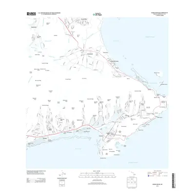 2013 Koko Head2013 Print · USGSSoutheast O'ahu in the early 2010s shows a sophisticated landscape of residential valleys and volcanic landmarks. Researchers can trace the development of Hawai'i Kai around Kuapā Pond or locate coastal features like Makai Pier and Hanauma Bay.
 - 2013 Map of Mokapu Point, 2013 Print
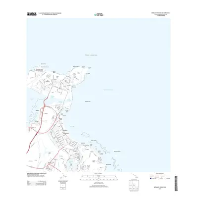 2013 Mokapu Point2013 Print · USGSCoastal O‘ahu is mapped here in the early twenty-first century, showing the interface of military installations and established shorefront communities. Researchers can trace the boundaries of Kaneohe Bay MCAS or locate cultural sites like Ulupō Heiau and Ka‘elepulu Pond.
 - 2013 Map of Kahana, 2013 Print
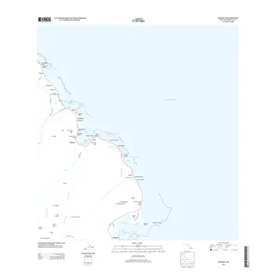 2013 Kahana2013 Print · USGSThe windward coast of Oahu remains a landscape of deep valleys and ancient fishponds in the early twenty-first century. Genealogists and researchers can trace local landmarks like Waikāne Camp, the historic Huilua Pond, and Kualoa Ranch.
 - 2013 Map of Kahuku, 2013 Print
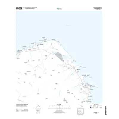 2013 Kahuku2013 Print · USGSThe northern tip of O'ahu is captured here in the early 2000s, where plantation history meets the developing coastline. Researchers can trace local landmarks like Lā'ie Landing, the roads of Marconi, and the geography of Kahuku Point.
 - 2013 Map of Pearl Harbor, 2013 Print
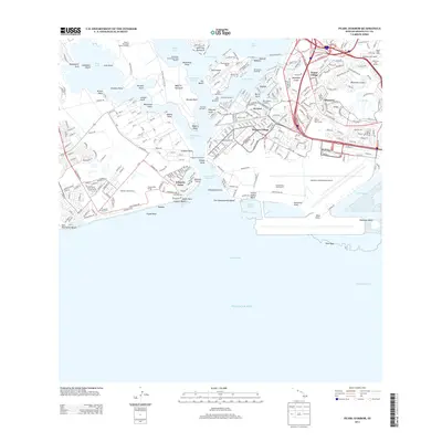 2013 Pearl Harbor2013 Print · USGSThe naval and aviation landscape of Oahu is captured here in the early twenty-first century, centered on the historic lochs of Pearl Harbor. Researchers can trace the layout of Ford Island NALF, the USS Arizona Memorial, and neighborhood growth in Aliamanu and Foster Village.
 - 2013 Map of Waipahu, 2013 Print
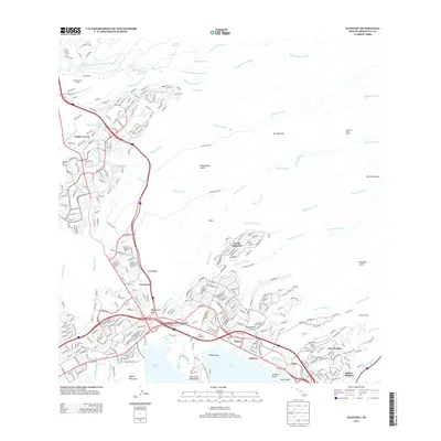 2013 Waipahu2013 Print · USGSModern Honolulu County is seen through its complex residential and industrial corridors in the early twenty-first century. Researchers can trace the sophisticated irrigation network of the Waiāhole Ditch or locate the sacred Keaiwa Heiau near Pacific Palisades.
 - 2013 Map of Kaneohe, 2013 Print
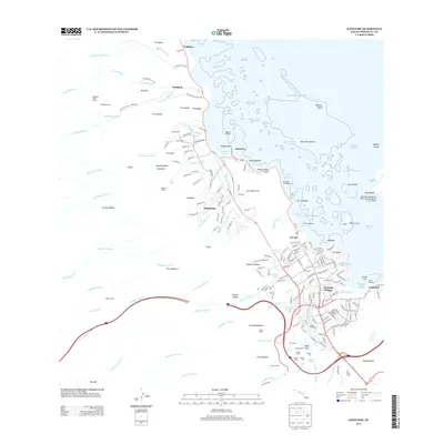 2013 Kaneohe2013 Print · USGSThe windward coast of O‘ahu reflects a deep connection between the volcanic heights of the Ko‘olau Range and the sea in the early twenty-first century. Researchers can trace historic water works and coastal settlements from Waiāhole Camp to Pũ‘ʼnhala Village.
 - 2013 Map of Koko Head OE E, 2013 Print
 2013 Koko Head OE E2013 Print · USGSThe easternmost tip of O‘ahu meets the sea during the early twenty-first century, showing the rugged interface of land and water. Researchers can trace the exact shoreline at Makapu‘u Point as it extends into the vast Pacific Ocean.
 - 2013 Map of Haleiwa, 2013 Print
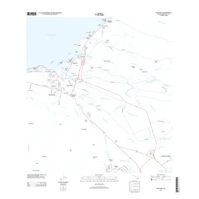 2013 Haleiwa2013 Print · USGSThe North Shore of O'ahu is captured here in a 2013 snapshot of its evolving agricultural and coastal landscape. Local historians can trace the legacy of plantation life through the locations of Ranch Camp, Kemo‘o Camp, and the extensive Ito Ditch irrigation system.
 - 2013 Map of Schofield Barracks, 2013 Print
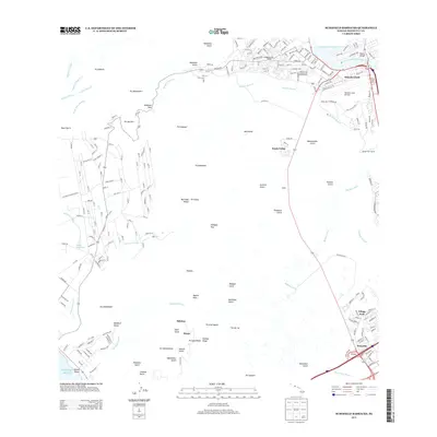 2013 Schofield Barracks2013 Print · USGSThe Wai‘anae Range and Wheeler Field military lands are captured here during the early twenty-first century. Researchers can trace historical water infrastructure like the Waidhole Ditch or locate local landmarks like Kunia Camp and Wilson Bridge.
 - 2013 Map of Ewa, 2013 Print
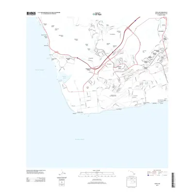 2013 Ewa2013 Print · USGSThe Ewa Plain and Kapolei are seen here during a decade of rapid expansion across the southwest coast of O'ahu. Local historians can trace the transition from plantation life to suburbia through historic sites like Tenney Village and Varona Village alongside Kalaeloa Airport (John Rodgers Field).
 - 2013 Map of Kaena OE W, 2013 Print
 2013 Kaena OE W2013 Print · USGSThe westernmost point of Oahu is captured in the early twenty-first century, focused almost entirely on the surrounding sea. Maritime researchers can pinpoint the Ka'ena Point Lighthouse and the exact coastline of Ka'ena Point.
 - 2013 Map of Kaena, 2013 Print
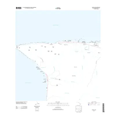 2013 Kaena2013 Print · USGSOahu's northwestern tip comes into focus in this recent survey, showcasing the ranching traditions and coastal camps of the North Shore. Genealogists and historians can trace the bounds of Dillingham Ranch and locate centers like Mokuleia Camp 1.
 - 2013 Map of Waianae, 2013 Print
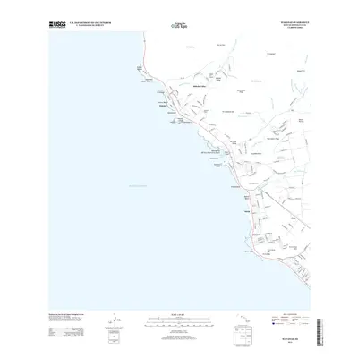 2013 Waianae2013 Print · USGSCoastal O'ahu during the early twenty-first century reveals a landscape where ancient Hawaiian sites meet modern residential life. Genealogists and historians can locate traditional landmarks like Kāne'ākī Heiau alongside more recent developments in Mākaha Valley and Mā'ili.
 - 2013 Map of Waimea, 2013 Print
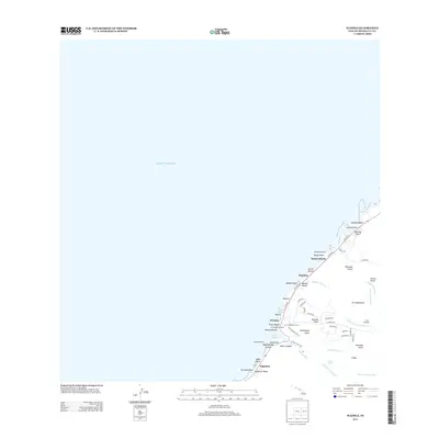 2013 Waimea2013 Print · USGSThe iconic North Shore of O'ahu is captured in the early twenty-first century, showing the intersection of ancient Hawaiian sites and famous coastal settlements. Researchers can locate sacred sites like Pu'uomahuka Heiau alongside local landmarks such as Waimea Falls and Banzai Rocks.
 - 2013 Map of Honolulu, 2013 Print
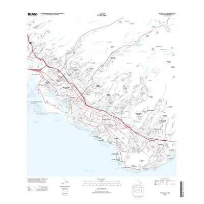 2013 Honolulu2013 Print · USGSThe Honolulu urban core and its volcanic backdrop are shown in detail during the early twenty-first century. Researchers can trace the layout of historic neighborhoods like Chinatown and Punahou, or locate landmarks from Diamond Head to the Foster Botanic Garden.
 - 2013 Map of Hauula, 2013 Print
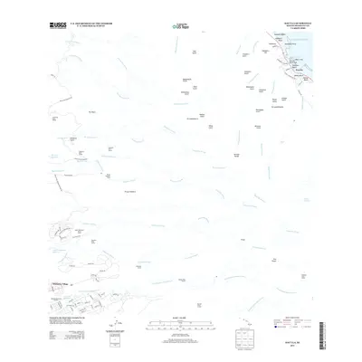 2013 Hauula2013 Print · USGSThe windward coast and central uplands of Oahu come together in the early 21st century, showing a landscape shaped by water and rugged ridges. Researchers can trace the extensive irrigation network through the Waiāhole Ditch Tunnel or locate coastal sites like Hau‘ula Beach Park and the neighborhood of Whitmore Village.
 - 2017 Map of Haleiwa, 2017 Print
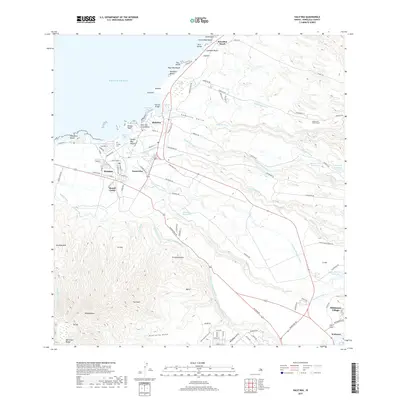 2017 Haleiwa2017 Print · USGSO'ahu's North Shore and the agricultural uplands are captured in this 2017 survey, showing the transition from surf-line beaches to plantation-era irrigation. Researchers can trace water systems like the Kamananui Ditch or locate Ranch Camp, Pu'uiki Cem, and Whitmore Village.
 - 2017 Map of Koko Head, 2017 Print
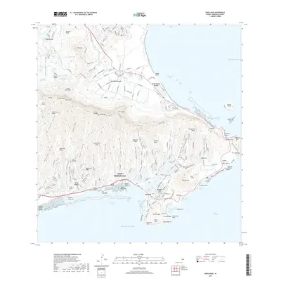 2017 Koko Head2017 Print · USGSEastern O'ahu and the windward coast are shown here in the mid-2010s, illustrating the dense suburban growth between the Ko'olau peaks and the Pacific. Researchers can trace the modern expansion of Hawai'i Kai around Kuapā Pond or the historic water works of Kailua Ditch near Maunawili.
 - 2017 Map of Waianae, 2017 Print
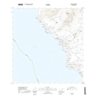 2017 Waianae2017 Print · USGSThe leeward coast of O'ahu is captured here in the late twenty-teens, showing the established residential patterns from Wai'anae to Nānākuli. Researchers can locate specific local landmarks like Sacred Hearts Cem and the Wai'anae Kai Military Reservation Beach.
 - 2017 Map of Waimea, 2017 Print
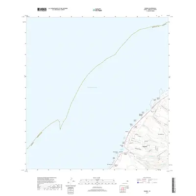 2017 Waimea2017 Print · USGSThe North Shore of O'ahu in the late 2010s reveals a landscape of world-famous surf breaks and lush valley interiors. Genealogists and local historians can trace the residential layout of Pupukea and identify coastal landmarks from Banzai Rocks to the waters of Waimea Bay.
 - 2017 Map of Schofield Barracks, 2017 Print
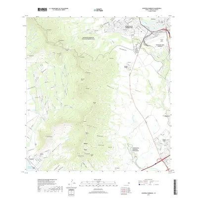 2017 Schofield Barracks2017 Print · USGSOahu's central plateau and mountain ridges are captured here in 2017, showing the strategic military landscapes of Schofield Barracks and Wheeler Army Airfield. Researchers can trace the layout of Kunia Camp, locate the Schofield Veterans Cem, and explore the rugged boundaries of the Honouliuli National Monument.
 - 2017 Map of Honolulu, 2017 Print
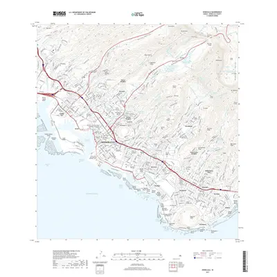 2017 Honolulu2017 Print · USGSHonolulu and its iconic coastal ridges are documented here in the late twenty-tens, showing the city's modern layout from the harbor to the mountains. Researchers can trace local heritage through numerous historic sites like Kawaiahao Cem, Kaumakapili Church, and the Univ of Hawaii Manoa.
 - 2017 Map of Kahuku, 2017 Print
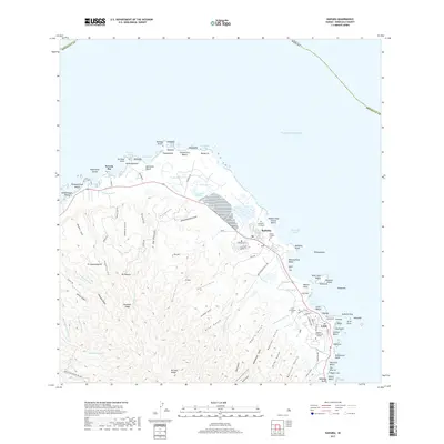 2017 Kahuku2017 Print · USGSThe northern coast of Oahu comes alive in this contemporary survey of the windward shore between the Ko'olau Range and the sea. Trace family roots at the Japanese Graveyard or explore the grounds of Brigham Young Univ - Hawaii and Kahuku Point.
 - 2017 Map of Mokapu Point, 2017 Print
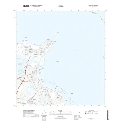 2017 Mokapu Point2017 Print · USGSThe windward coast of O‘ahu comes into focus in the late 2010s, showcasing the expansion of Kailua alongside the Mokapu Peninsula. Researchers can trace the perimeter of the Marine Corps Air Station and locate the historic Kawainui Marsh.
Showing maps 1-25 of 34
Top cities of Honolulu County
- Honolulu historical maps
- Waipahu historical maps
- Mililani historical maps
- Pearl City historical maps
- Kailua historical maps
- Kapolei historical maps
See more
Frequently asked questions
- What are the different types of historical maps available for Honolulu County?
- What is the oldest map of Honolulu County?
- Where can I purchase historical maps of Honolulu County for my home or office?
- Where can I download high-res historical maps of Honolulu County?
- Are there historical topographic maps available for Honolulu County?
- Is there historical aerial imagery available for Honolulu County?
- Where are historical maps of Honolulu County sourced from?