2020s Maps of Ada County, Idaho
Explore 73 historic maps of Ada County from the 2020s. These maps offer a rare glimpse into what life looked like during the 2020s — showing old roads, neighborhoods, homes, and landmarks that have changed or disappeared over time.
Whether you're researching your family's past, planning a metal detecting trip, or studying how Ada County's landscape evolved across the 2020s, these high-resolution maps are a powerful tool for exploring the history of this region.
- Focus on a specific era: All maps on this page are from the 2020s, giving you a focused view of this time period.
- See what’s changed: Compare century-old streets, trails, and buildings to today's modern landscape using overlays and satellite layers.
- Research with precision: Use these maps for genealogy, historical research, land use analysis, or educational projects.
- View, download, or print: Maps are fully viewable online in high resolution, and can be downloaded or printed for your own records.
Start exploring Ada County's history through authentic maps from the 2020s. This is your window into the past.
Ada County, ID maps
(73)- 2020 Map of Cinder Cone Butte, 2020 Print
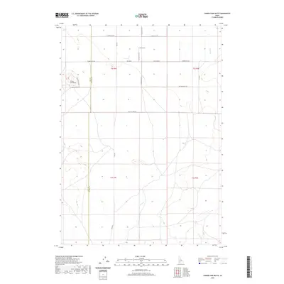 2020 Cinder Cone Butte2020 Print · USGSThe high desert landscape of southwestern Idaho is captured here in recent years, showing the open rangeland along the Ada and Elmore county line. Researchers can trace rural landmarks like Cinder Cone Butte, the remote P and R Field, and the seasonal paths of Squaw Cr.
 - 2020 Map of Pearl, 2020 Print
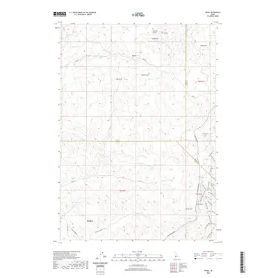 2020 Pearl2020 Print · USGSThe foothills north of Boise and Eagle are captured here in the contemporary era at the meeting of three counties. Local historians can trace the development of Pearl and Spring Valley, or find specific recreational landmarks like the Bovine Nirvana Shooting Range and Sands Airport.
 - 2020 Map of Meridian, 2020 Print
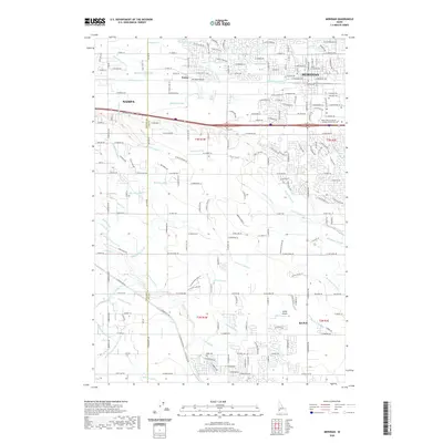 2020 Meridian2020 Print · USGSThe growing borderlands between Meridian and Nampa are captured here in the early 2020s as residential development spreads across historical agricultural tracts. Researchers can trace family ties at Meridian Cem or follow the intricate irrigation paths of the Ridenbaugh Canal and Tenmile Cr.
 - 2020 Map of Melba, 2020 Print
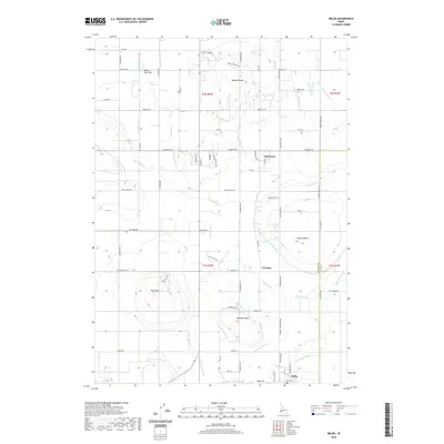 2020 Melba2020 Print · USGSNear the Canyon and Ada County line, this recent survey shows the irrigation-dependent landscape of the Snake River Valley. Trace the complex water networks of the Mora Canal and Waldvogel Canal that sustain rural centers like Melba and Bowmont.
 - 2020 Map of Robie Creek, 2020 Print
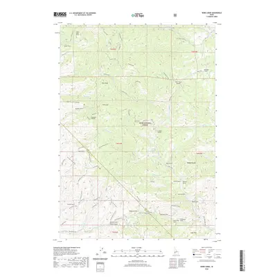 2020 Robie Creek2020 Print · USGSThe foothills of the Boise Front are seen here in recent detail, where the Boise National Forest meets the growing community of Robie Creek. Trace local landmarks like the Harrington Airport, Karnell Lakes, and the winding Watchman Trail.
 - 2020 Map of Walters Butte, 2020 Print
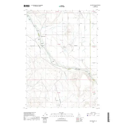 2020 Walters Butte2020 Print · USGSThe Snake River canyon near Melba reveals a rich landscape of river crossings and volcanic buttes in the modern era. Researchers can trace historic sites like Walters Ferry, the Guffey IslandGuffey Railroad Bridge, and numerous agricultural waterways such as Jinx Lateral.
 - 2020 Map of Mora, 2020 Print
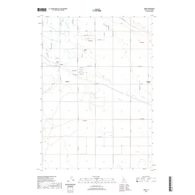 2020 Mora2020 Print · USGSThe high desert south of Boise shows a landscape transformed by irrigation and aviation in the modern era. Trace the path of the New York Canal and Kuna Canal as they serve the settlements of Mora and KUNA, alongside local landmarks like Larkin Airport.
 - 2020 Map of Castle Butte, 2020 Print
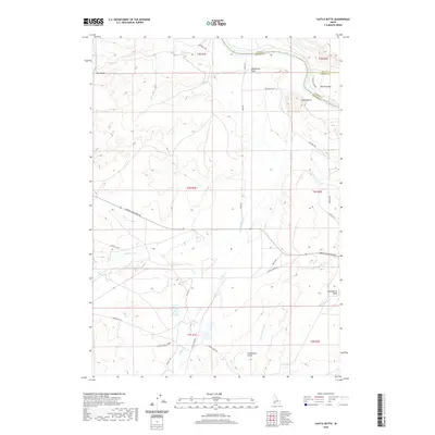 2020 Castle Butte2020 Print · USGSThe Snake River corridor comes to life in this recent survey, showing the desert landscape where Ada, Owyhee, and Elmore counties meet. Researchers can trace the historic Emigrant Trl and find named landmarks like Castle Butte and Big Foot Bar.
 - 2020 Map of Christmas Mountain, 2020 Print
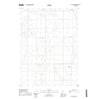 2020 Christmas Mountain2020 Print · USGSAda County’s high desert landscape is captured here in the early twenty-first century, showing the area's transition into a more managed territory. Researchers can trace the local terrain through landmarks like Christmas Mtn and the paths of S Pleasant Valley Rd.
 - 2020 Map of Wild Horse Butte, 2020 Print
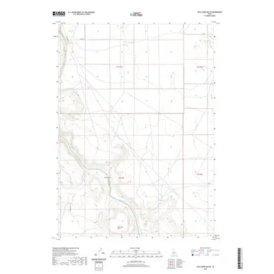 2020 Wild Horse Butte2020 Print · USGSThe high desert canyons of the Snake River Plain are documented here in the early twenty-first century. Researchers can trace the path of the Emigrant Trl and identify landmarks like Wild Horse Butte and Thomas Flats.
 - 2020 Map of Cloverdale, 2020 Print
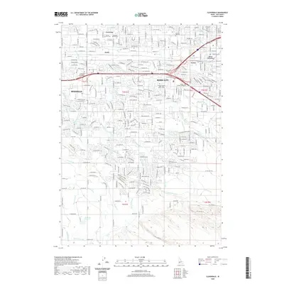 2020 Cloverdale2020 Print · USGSThe Boise and Meridian corridor is shown here during a period of intense suburban growth, where modern subdivisions meet a historic irrigation network. Genealogists and historians can trace cemetery locations like Mountain View Cem or the rail-linked settlements of Perkins and Beatty.
 - 2020 Map of Cartwright Canyon, 2020 Print
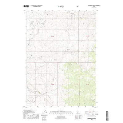 2020 Cartwright Canyon2020 Print · USGSThe foothills north of Boise are shown here during their modern transition into a recreation and residential corridor. Trace the connections between Loomis Airport and the high ridges of the Boise National Forest via Stack Rock and Shafer Cr.
 - 2020 Map of Coyote Butte, 2020 Print
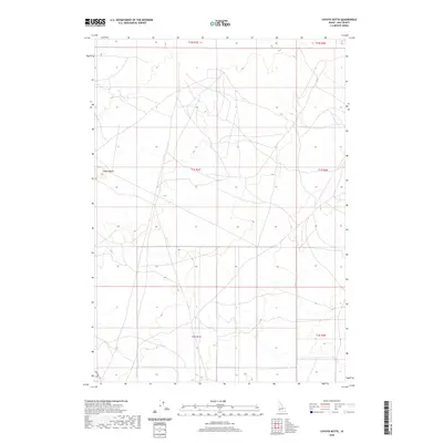 2020 Coyote Butte2020 Print · USGSAda County’s high-desert landscape is captured here in the years following the turn of the millennium. Researchers can trace the path of Swan Falls Rd and identify topographical markers like the namesake Coyote Butte.
 - 2020 Map of Southeast Emmett, 2020 Print
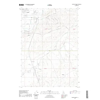 2020 Southeast Emmett2020 Print · USGSThe northern edge of the Boise Basin meets the Emmett Valley in this recent survey of the Gem and Ada County borderlands. Researchers can trace irrigation networks like the Black Canyon Canal and find landmarks such as Freezeout Hill and the Gem County Courthouse.
 - 2020 Map of Boise North, 2020 Print
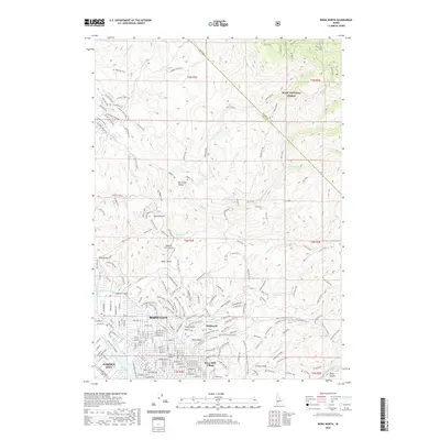 2020 Boise North2020 Print · USGSThe foothills north of Idaho’s capital are shown here in modern detail, where the city meets the Boise National Forest. Researchers can trace the paths of the Boise City Canal or explore the extensive trail networks around Bogus Basin and Hulls Gulch.
 - 2020 Map of Southwest Emmett, 2020 Print
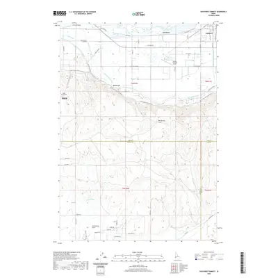 2020 Southwest Emmett2020 Print · USGSThe Emmett Valley region of Gem County is shown in detail during the modern era, where the Payette River supports a complex network of agricultural canals. Researchers can trace irrigation history through the Farmers Cooperative Canal and locate rural landmarks such as Bramwell and the Emmett Municipal Airport.
 - 2020 Map of Orchard, 2020 Print
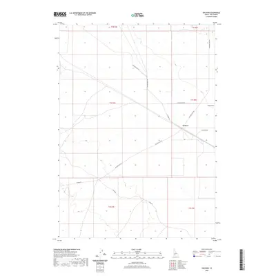 2020 Orchard2020 Print · USGSThe high desert of Ada County comes into focus in this recent survey of the southern Idaho ranchlands. Genealogists and land researchers can trace the roads and property lines surrounding Orchard, Sand Hollow, and the drainage of Bowns Cr.
 - 2020 Map of Kuna, 2020 Print
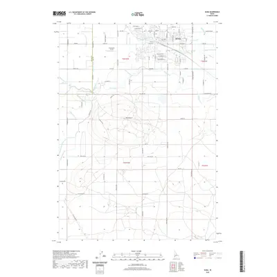 2020 Kuna2020 Print · USGSKuna and the surrounding Ada County plains are shown here in recent years, highlighting the intricate irrigation systems that sustain the Idaho desert. Genealogists and historians can trace the town core near the PO or locate family sites near Kuna Cem and the prominent Kuna Butte.
 - 2020 Map of Middleton, 2020 Print
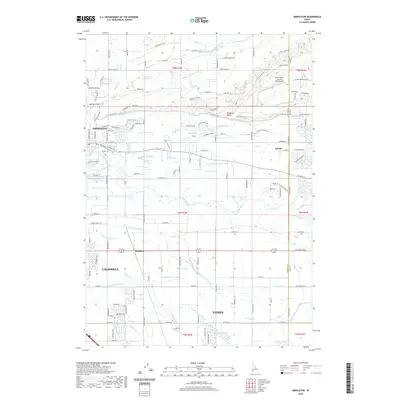 2020 Middleton2020 Print · USGSThe Boise River valley comes into focus during this period of growth between Middleton and Star. Researchers can trace the sophisticated irrigation network from the Caldwell High Line Canal to landmarks like McIntyre Hill and Maddens.
 - 2020 Map of Little Joe Butte, 2020 Print
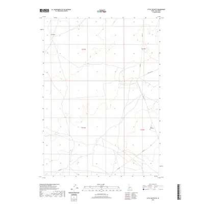 2020 Little Joe Butte2020 Print · USGSSouthern Ada County remains a landscape of high desert solitude and sparse ranch roads in this modern survey. Researchers can trace the path of Corder Cr through the hills or locate geological markers like Little Joe Butte and Wind Butte.
 - 2020 Map of Owyhee, 2020 Print
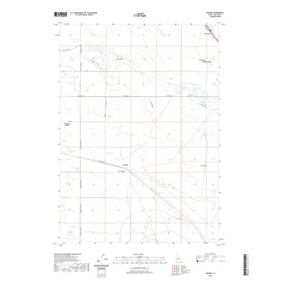 2020 Owyhee2020 Print · USGSAda County’s high-desert plains come into focus in the early 21st century, showing a landscape shaped by water and wide-open rangeland. Local historians can trace the paths of Tenmile Cr and Indian Cr or locate landmarks like Blacks Creek Reservoir and Pleasant Valley.
 - 2020 Map of Boise South, 2020 Print
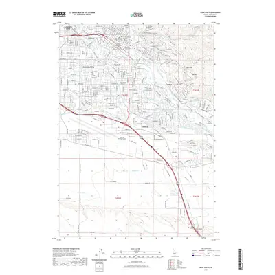 2020 Boise South2020 Print · USGSBoise enters the 2020s as a thriving capital, where the historic core around the Idaho Supreme Court meets an extensive network of modern greenways and irrigation canals. Genealogists and local historians can trace legacy sites like Morris Hill Cem and Fort Boise Military Cem, or locate the specific campus footprints of Boise State University.
 - 2020 Map of Jackass Butte, 2020 Print
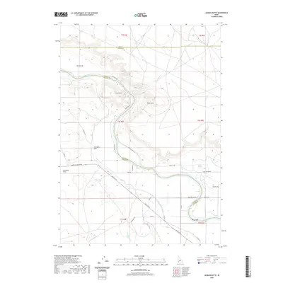 2020 Jackass Butte2020 Print · USGSSouthwest Idaho's river canyon country is mapped here in 2020, showing where the high desert meets the irrigated plains. Trace the historic route of the Emigrant Trl past landmarks like Jackass Butte, Rabbit Springs, and the Snake River corridor.
 - 2020 Map of Sinker Butte, 2020 Print
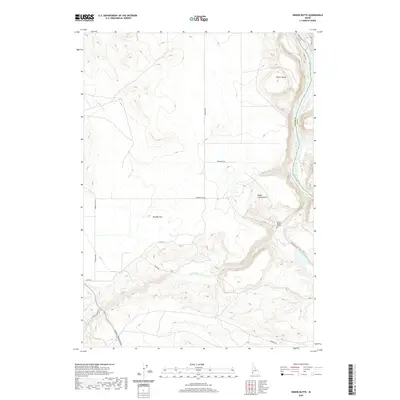 2020 Sinker Butte2020 Print · USGSSouthwestern Idaho high desert meets the canyon of the Snake River in this modern survey of historic western corridors. Trace the paths of the Oregon Trl and Emigrant Trl near local landmarks like Sinker Butte and the Jacob Reuben Graves site.
 - 2020 Map of Dorsey Butte, 2020 Print
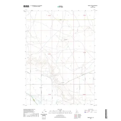 2020 Dorsey Butte2020 Print · USGSThe high desert plateaus of southwest Idaho meet the river corridor in the late twenty-tens. Researchers can trace the essential irrigation networks of Middle Line Canal and Low Line Canal or locate local landmarks like Dorsey Butte and Chattin Hill.
Showing maps 1-25 of 73
Top cities of Ada County
- Boise historical maps
- Meridian historical maps
- Eagle historical maps
- Kuna historical maps
- Star historical maps
- Garden City historical maps
See more
Frequently asked questions
- What are the different types of historical maps available for Ada County?
- What is the oldest map of Ada County?
- Where can I purchase historical maps of Ada County for my home or office?
- Where can I download high-res historical maps of Ada County?
- Are there historical topographic maps available for Ada County?
- Is there historical aerial imagery available for Ada County?
- Where are historical maps of Ada County sourced from?