2020s Maps of Boundary County, Idaho
Explore 73 historic maps of Boundary County from the 2020s. These maps offer a rare glimpse into what life looked like during the 2020s — showing old roads, neighborhoods, homes, and landmarks that have changed or disappeared over time.
Whether you're researching your family's past, planning a metal detecting trip, or studying how Boundary County's landscape evolved across the 2020s, these high-resolution maps are a powerful tool for exploring the history of this region.
- Focus on a specific era: All maps on this page are from the 2020s, giving you a focused view of this time period.
- See what’s changed: Compare century-old streets, trails, and buildings to today's modern landscape using overlays and satellite layers.
- Research with precision: Use these maps for genealogy, historical research, land use analysis, or educational projects.
- View, download, or print: Maps are fully viewable online in high resolution, and can be downloaded or printed for your own records.
Start exploring Boundary County's history through authentic maps from the 2020s. This is your window into the past.
Boundary County, ID maps
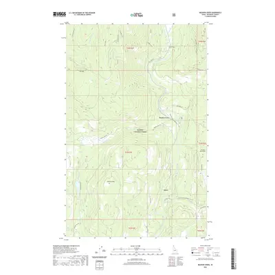
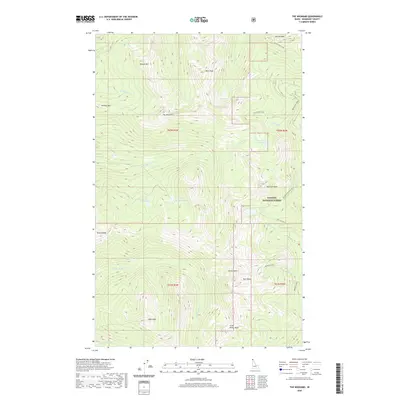
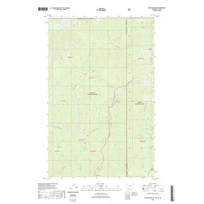
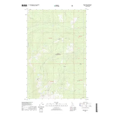
(73)- 2020 Map of Helmer Mountain, 2020 Print
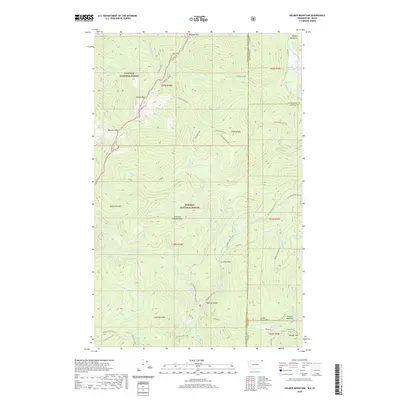 2020 Helmer Mountain2020 Print · USGSCovers Boundary County, including Bonner County, Pend Oreille County, and other nearby areas
 - 2020 Map of Moyie Springs, 2020 Print
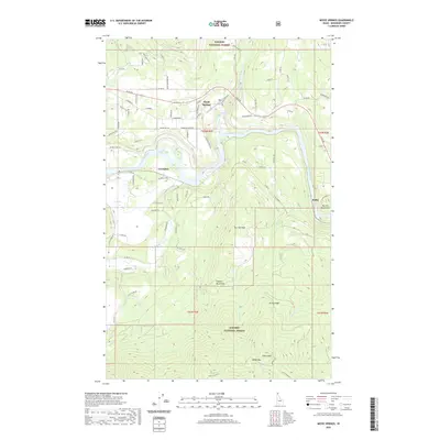 2020 Moyie Springs2020 Print · USGSCovers Boundary County, including Moyie Springs, United States, and other nearby areas
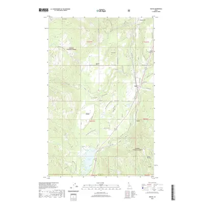
 - 2020 Map of Ritz, 2020 Print
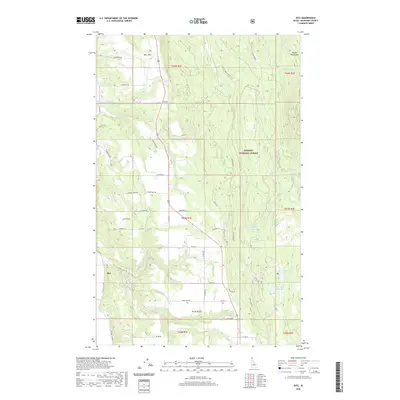 2020 Ritz2020 Print · USGSCovers Boundary County, including United States, Idaho, and other nearby areas
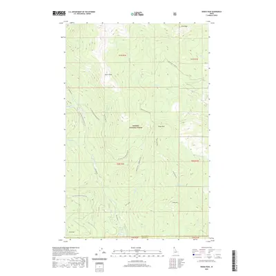
 - 2020 Map of Smith Peak, 2020 Print
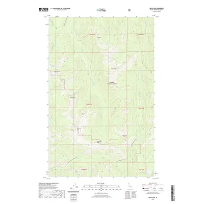 2020 Smith Peak2020 Print · USGSCovers Boundary County, including United States, Idaho, and other nearby areas
 - 2020 Map of Moravia, 2020 Print
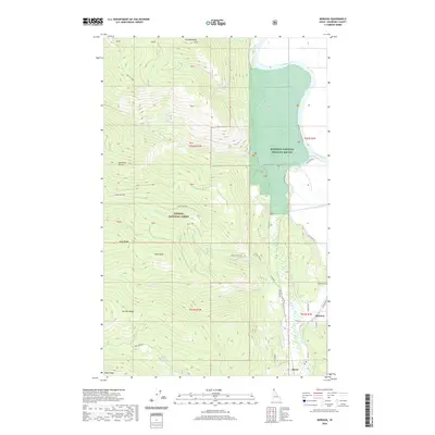 2020 Moravia2020 Print · USGSCovers Boundary County, including United States, Idaho, and other nearby areas
 - 2020 Map of Naples, 2020 Print
 2020 Naples2020 Print · USGSCovers Boundary County, including Naples, Bonner County, and other nearby areas
 - 2020 Map of Curley Creek, 2020 Print
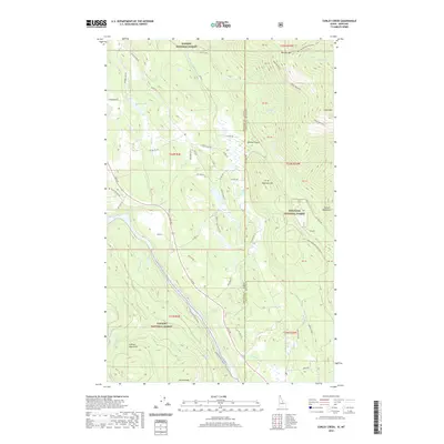 2020 Curley Creek2020 Print · USGSCovers Boundary County, including Lincoln County, United States, and other nearby areas
 - 2020 Map of Eastport, 2020 Print
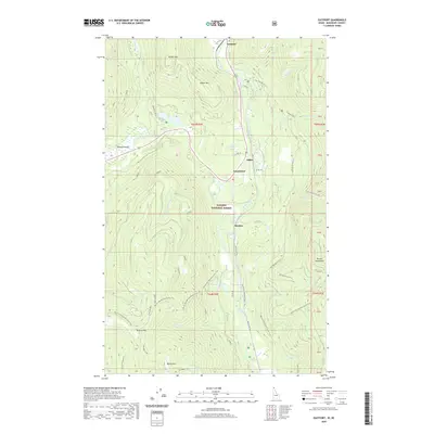 2020 Eastport2020 Print · USGSCovers Boundary County, including Eastport, United States, and other nearby areas
 - 2020 Map of Meadow Creek, 2020 Print
 2020 Meadow Creek2020 Print · USGSCovers Boundary County, including United States, Idaho, and other nearby areas
 - 2020 Map of Priest Lake NE, 2020 Print
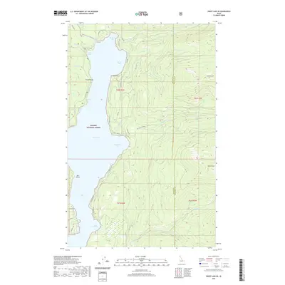 2020 Priest Lake NE2020 Print · USGSCovers Boundary County, including Bonner County, United States, and other nearby areas
 - 2020 Map of Grass Mountain, 2020 Print
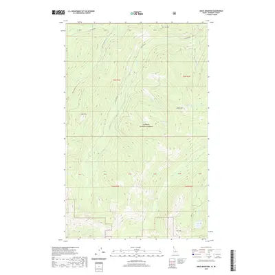 2020 Grass Mountain2020 Print · USGSCovers Boundary County, including Area C (Summit Creek/Leach Lake), Regional District of Central Kootenay, and other nearby areas
 - 2020 Map of Clifty Mountain, 2020 Print
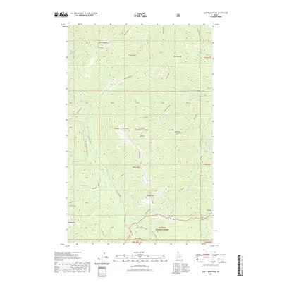 2020 Clifty Mountain2020 Print · USGSCovers Boundary County, including Bonner County, United States, and other nearby areas
 - 2020 Map of The Wigwams, 2020 Print
 2020 The Wigwams2020 Print · USGSCovers Boundary County, including United States, Idaho, and other nearby areas
 - 2020 Map of Hall Mountain, 2020 Print
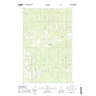 2020 Hall Mountain2020 Print · USGSCovers Boundary County, including United States, Idaho, and other nearby areas
 - 2020 Map of Dodge Peak, 2020 Print
 2020 Dodge Peak2020 Print · USGSCovers Boundary County, including Bonner County, United States, and other nearby areas
 - 2020 Map of Salmo Mountain, 2020 Print
 2020 Salmo Mountain2020 Print · USGSCovers Boundary County, including Area G (Salmo Valley), Regional District of Central Kootenay, and other nearby areas
 - 2020 Map of Hall Mountain OE N, 2020 Print
 2020 Hall Mountain OE N2020 Print · USGSCovers Boundary County, including Area B (Goat River Valley), Regional District of Central Kootenay, and other nearby areas
 - 2020 Map of Copeland OE N, 2020 Print
 2020 Copeland OE N2020 Print · USGSCovers Boundary County, including Area B (Goat River Valley), Area C (Summit Creek/Leach Lake), and other nearby areas
 - 2020 Map of Canuck Peak OE N, 2020 Print
 2020 Canuck Peak OE N2020 Print · USGSCovers Boundary County, including Area B (Goat River Valley), Yahk, and other nearby areas
 - 2020 Map of Eastport OE N, 2020 Print
 2020 Eastport OE N2020 Print · USGSCovers Boundary County, including Area B (Goat River Valley), Regional District of Central Kootenay, and other nearby areas
 - 2020 Map of Roman Nose, 2020 Print
 2020 Roman Nose2020 Print · USGSCovers Boundary County, including United States, Idaho, and other nearby areas
 - 2020 Map of Mount Roothaan, 2020 Print
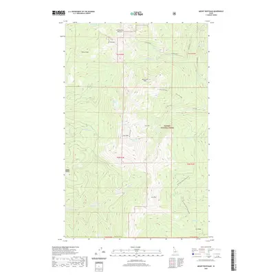 2020 Mount Roothaan2020 Print · USGSCovers Boundary County, including Bonner County, United States, and other nearby areas
 - 2020 Map of Leonia, 2020 Print
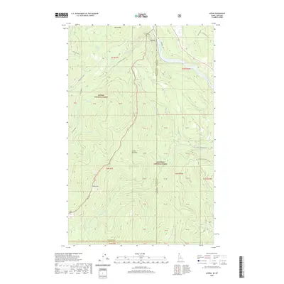 2020 Leonia2020 Print · USGSCovers Boundary County, including Bonner County, Lincoln County, and other nearby areas
 - 2020 Map of Upper Priest Lake, 2020 Print
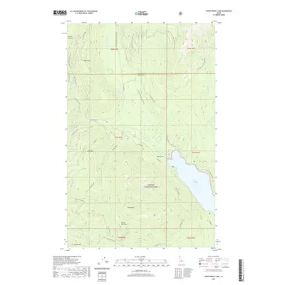 2020 Upper Priest Lake2020 Print · USGSCovers Boundary County, including Bonner County, United States, and other nearby areas
 - 2020 Map of Farnham Peak, 2020 Print
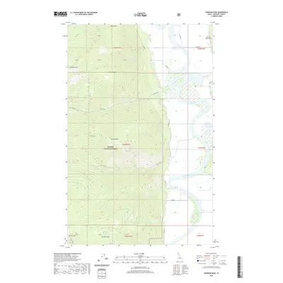 2020 Farnham Peak2020 Print · USGSCovers Boundary County, including United States, Idaho, and other nearby areas
Showing maps 1-25 of 73
Top cities of Boundary County
Frequently asked questions
- What are the different types of historical maps available for Boundary County?
- What is the oldest map of Boundary County?
- Where can I purchase historical maps of Boundary County for my home or office?
- Where can I download high-res historical maps of Boundary County?
- Are there historical topographic maps available for Boundary County?
- Is there historical aerial imagery available for Boundary County?
- Where are historical maps of Boundary County sourced from?