2010s Maps of Boundary County, Idaho
Explore 104 historic maps of Boundary County from the 2010s. These maps offer a rare glimpse into what life looked like during the 2010s — showing old roads, neighborhoods, homes, and landmarks that have changed or disappeared over time.
Whether you're researching your family's past, planning a metal detecting trip, or studying how Boundary County's landscape evolved across the 2010s, these high-resolution maps are a powerful tool for exploring the history of this region.
- Focus on a specific era: All maps on this page are from the 2010s, giving you a focused view of this time period.
- See what’s changed: Compare century-old streets, trails, and buildings to today's modern landscape using overlays and satellite layers.
- Research with precision: Use these maps for genealogy, historical research, land use analysis, or educational projects.
- View, download, or print: Maps are fully viewable online in high resolution, and can be downloaded or printed for your own records.
Start exploring Boundary County's history through authentic maps from the 2010s. This is your window into the past.
Boundary County, ID maps
(104)- 2011 Map of Priest Lake NE, 2011 Print
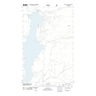 2011 Priest Lake NE2011 Print · USGSPriest Lake's northeastern shore in the early twenty-first century reveals a landscape of protected parklands and growing lakeside communities. Trace the shoreline from Camp Coedge to Bear Creek Bay, or follow the drainages of Lion Creek and Two Mouth Creek into the high country near Klootch Mountain.
 - 2011 Map of Moravia, 2011 Print
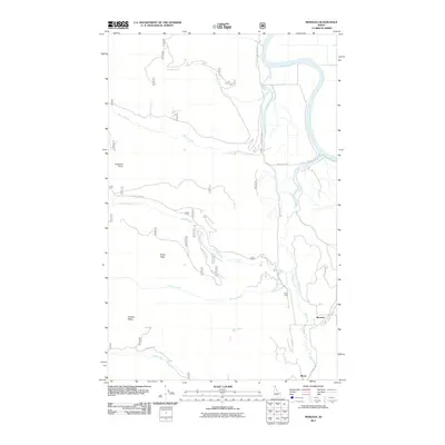 2011 Moravia2011 Print · USGSBoundary County during the early 2000s shows a landscape defined by the winding Kootenai River and mountain peaks. Researchers can trace the routes through the settlements of Moravia and Burns or locate landmarks like Snow Creek Falls.
 - 2011 Map of Roman Nose, 2011 Print
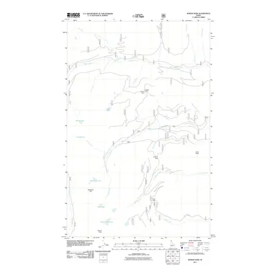 2011 Roman Nose2011 Print · USGSBoundary County’s high mountain country is captured here in the years following the turn of the century, showing a landscape defined by glacial lakes and sharp peaks. Trace the primitive routes along Snow Creek Rd to find Roman Nose Lakes and Cooks Peak.
 - 2011 Map of Farnham Peak, 2011 Print
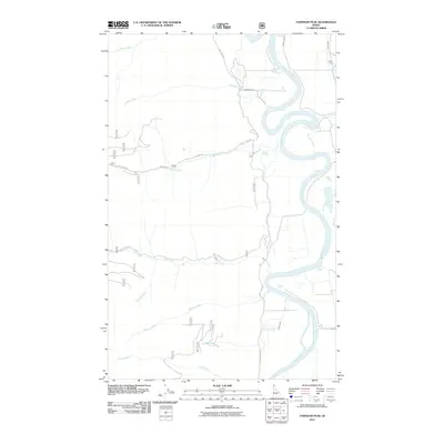 2011 Farnham Peak2011 Print · USGSThe Kootenai River valley in Boundary County is shown in detail during the early 21st century. Researchers can trace the remote settlement at Camp Five or follow the paths of Trout Creek Rd and Ball Creek Rd as they wind through the drainages.
 - 2011 Map of Smith Peak, 2011 Print
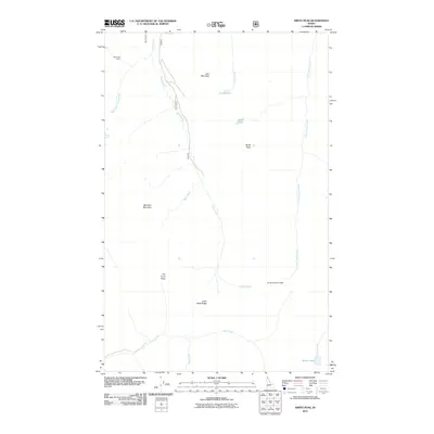 2011 Smith Peak2011 Print · USGSThe high Idaho Panhandle is captured here in the early twenty-first century, showing a landscape of mountain peaks and alpine lakes. Hikers and researchers can trace the routes to West Fork Cabin, Smith Peak, and the waters of Myrtle Lake.
 - 2011 Map of Dodge Peak, 2011 Print
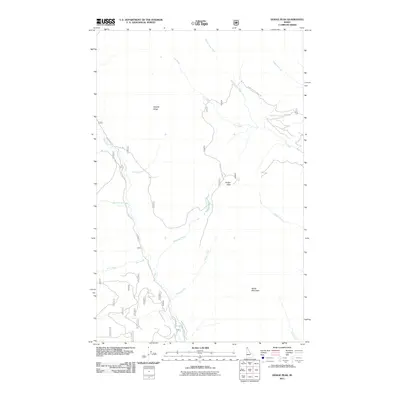 2011 Dodge Peak2011 Print · USGSUpper Bonner County’s high-country terrain is captured here in the early twenty-first century, showing the drainage of the Pack River. Researchers can trace the path of the Roman Nose Lookout Rd past landmarks like Dodge Peak and White Mountain.
 - 2011 Map of Twentymile Creek, 2011 Print
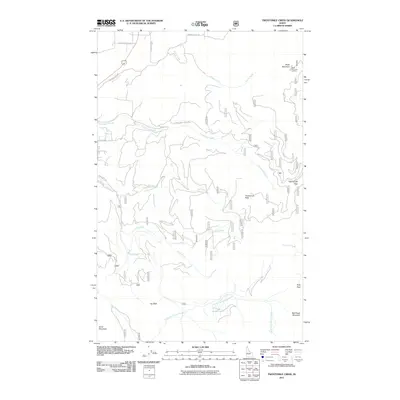 2011 Twentymile Creek2011 Print · USGSBonner County's high ridges and creek headwaters are documented here in the early twenty-first century. Researchers can trace historic backcountry access routes and landmarks like Black Mountain Lookout, Twentymile Pass, and Jay Peak.
 - 2011 Map of Priest Lake SE, 2011 Print
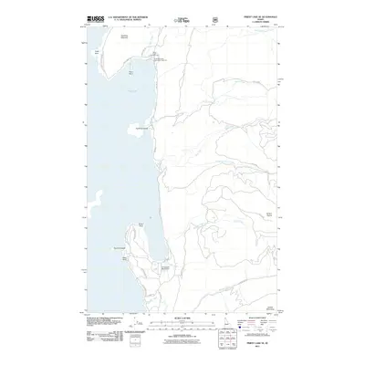 2011 Priest Lake SE2011 Print · USGSThe eastern shores of Priest Lake are shown here as they appeared in the early 21st century, where the Selkirk Mountains meet the water. Trace the shoreline from Pinto Point down to the Cavanaugh Bay Airport and the forested reaches of Camels Prairie.
 - 2011 Map of Clifty Mountain, 2011 Print
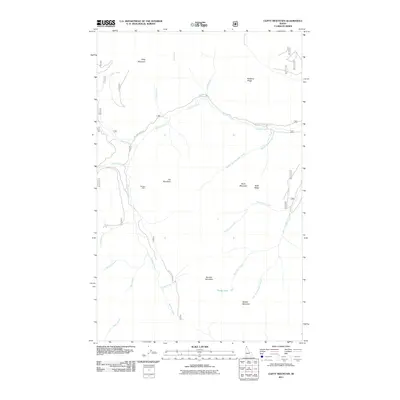 2011 Clifty Mountain2011 Print · USGSBonner County’s high country in the early twenty-first century is defined by its mining history and steep, creek-cut ridges. Trace the legacy of resource extraction at the Boulder Mine or follow the winding path of Boulder Creek Rd past Iron Mountain and Divide Lake.
 - 2011 Map of Bonners Ferry, 2011 Print
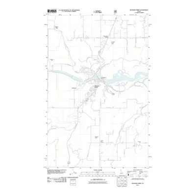 2011 Bonners Ferry2011 Print · USGSBoundary County and the river-centered community of Bonners Ferry are shown here as they appeared in the early 2010s. Researchers can trace the development of rural settlements like Paradise Valley or locate local burial grounds including Grandview Cemetery.
 - 2011 Map of Caribou Creek, 2011 Print
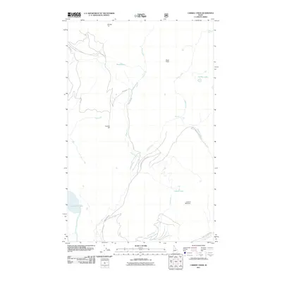 2011 Caribou Creek2011 Print · USGSThe northern reaches of the Idaho Panhandle are shown here in the years following the turn of the millennium. Researchers can trace the drainage of Caribou Creek and locate remote high-altitude points like Phoebe Tip, Mollies Lake, and Caribou Falls.
 - 2011 Map of Pyramid Peak, 2011 Print
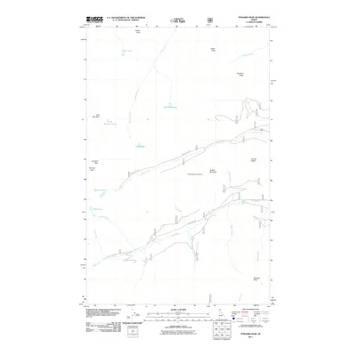 2011 Pyramid Peak2011 Print · USGSThe high ridges of Boundary County are documented in the early twenty-first century, showing a landscape of alpine lakes and naming traditions. Researchers can trace the drainage patterns of Swiss Creek or French Creek and locate high-elevation sites like Russell Mountain Lookout.
 - 2011 Map of Upper Priest Lake, 2011 Print
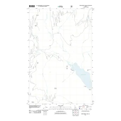 2011 Upper Priest Lake2011 Print · USGSThe northern Panhandle reaches of Idaho remained a landscape of wilderness and resource extraction during this period. Researchers can locate remote mineral sites like the Mountain Chief Mine and trace access routes along Hughes Ridge.
 - 2011 Map of The Wigwams, 2011 Print
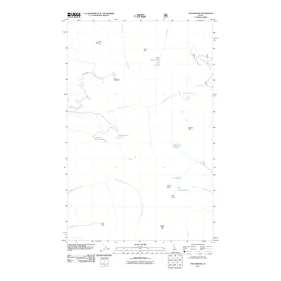 2011 The Wigwams2011 Print · USGSBoundary County’s high country is captured here during the early 2010s, showcasing the granite summits of the northern Idaho panhandle. Researchers can trace the alpine drainage patterns of Two Mouth Lakes or locate landmarks like The Wigwams and Harrison Peak.
 - 2011 Map of Mount Roothaan, 2011 Print
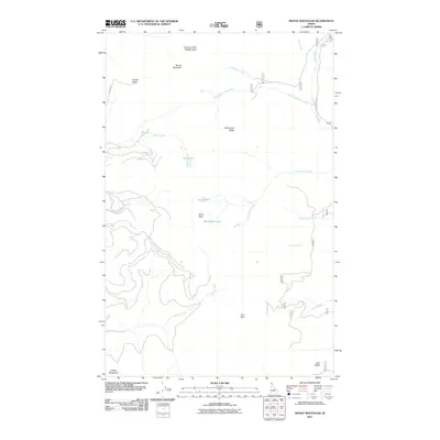 2011 Mount Roothaan2011 Print · USGSThe high peaks of the Selkirk Mountains dominate this 2010s survey of the Idaho panhandle. Trace the remote drainage basins of the Pack River or locate landmarks like Hunt Peak and Jeru Park in this undeveloped mountain landscape.
 - 2011 Map of Grass Mountain, 2011 Print
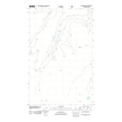 2011 Grass Mountain2011 Print · USGSThe Idaho-British Columbia borderlands are captured here in the early 2000s, showcasing a landscape defined by mining history and high-altitude water systems. Researchers and collectors can locate the Parker Mine, Rideout Mine, and remote basins like Search Lake.
 - 2011 Map of Moyie Springs, 2011 Print
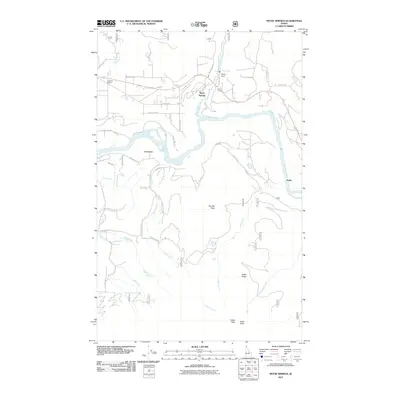 2011 Moyie Springs2011 Print · USGSBoundary County at the start of the 2010s reveals a mountain landscape defined by the power of its rivers and high peaks. Genealogists and local historians can trace the riverside settlements of Crossport and Katka or locate the site of the Sheridan School.
 - 2011 Map of Shorty Peak, 2011 Print
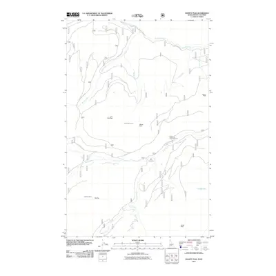 2011 Shorty Peak2011 Print · USGSThis high-country terrain along the Idaho-British Columbia border is shown at the start of the 2010s, highlighting a network of fire lookouts and forest service roads. Trace the remote routes to Shorty Peak Lookout, Red Top Lookout, and the United States Forest Service Camp 216.
 - 2011 Map of Smith Falls, 2011 Print
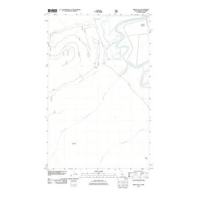 2011 Smith Falls2011 Print · USGSThe Kootenai River valley at the Idaho-British Columbia border comes into focus in this study of the northern high country. Researchers can trace the rural road network connecting Smith Falls and Osburn Vista to the Eckhart International Airport.
 - 2011 Map of Continental Mountain, 2011 Print
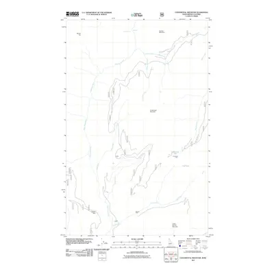 2011 Continental Mountain2011 Print · USGSThe Idaho and British Columbia borderlands are revealed in this early twenty-first-century survey of the high Selkirk peaks. Geologists and local historians can locate the Continental Mine and McLean Mine or trace routes through Cabinet Pass and along the Upper Priest River.
 - 2011 Map of Ritz, 2011 Print
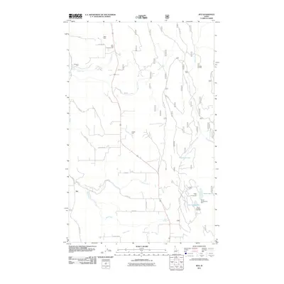 2011 Ritz2011 Print · USGSBoundary County at the start of the 2010s reveals a landscape of mountain creeks, timber access, and small rural communities. Researchers can trace local landmarks like the Regal Mine, the Deer Park Community Hall, and the waters of Templeman Lake.
 - 2011 Map of Hall Mountain, 2011 Print
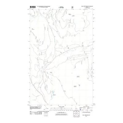 2011 Hall Mountain2011 Print · USGSBoundary County, Idaho, is shown at a time when mountain mining and high-country timber access defined the local landscape. Genealogists and historians can trace the locations of the American Girl Mine, the Bethlehem Mine, and the small settlement at Round Prairie.
 - 2011 Map of Copeland, 2011 Print
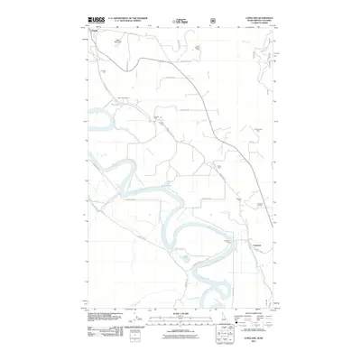 2011 Copeland2011 Print · USGSThe Kootenai River valley at the turn of the 21st century remains a landscape of river-bend settlements and mountain foothills. Genealogists and historians can trace local landmarks like Copeland Cemetery, the Copeland Ferry, and industrial sites like Golen Scepter Mine.
 - 2011 Map of Naples, 2011 Print
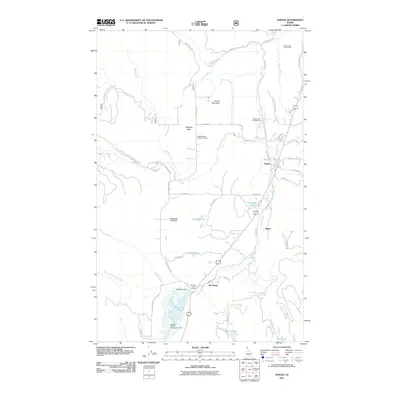 2011 Naples2011 Print · USGSBoundary County at the start of the twenty-first century reveals a landscape of quiet communities and protected wetlands. Genealogists and local historians can trace family-named areas and landmarks from Highland Flats and Shiloh to the McArthur Wildlife Management Area.
 - 2011 Map of Meadow Creek, 2011 Print
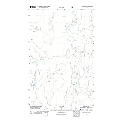 2011 Meadow Creek2011 Print · USGSBoundary County at the turn of the decade is defined here by the river corridors and mountain ridges of the Idaho Panhandle. Researchers can trace land use and recreation sites from Eileen to Meadow Creek, including Dawson Lake and the Meadow Creek Campground.
Showing maps 1-25 of 104
Top cities of Boundary County
Frequently asked questions
- What are the different types of historical maps available for Boundary County?
- What is the oldest map of Boundary County?
- Where can I purchase historical maps of Boundary County for my home or office?
- Where can I download high-res historical maps of Boundary County?
- Are there historical topographic maps available for Boundary County?
- Is there historical aerial imagery available for Boundary County?
- Where are historical maps of Boundary County sourced from?