2020s Maps of Gooding County, Idaho
Explore 45 historic maps of Gooding County from the 2020s. These maps offer a rare glimpse into what life looked like during the 2020s — showing old roads, neighborhoods, homes, and landmarks that have changed or disappeared over time.
Whether you're researching your family's past, planning a metal detecting trip, or studying how Gooding County's landscape evolved across the 2020s, these high-resolution maps are a powerful tool for exploring the history of this region.
- Focus on a specific era: All maps on this page are from the 2020s, giving you a focused view of this time period.
- See what’s changed: Compare century-old streets, trails, and buildings to today's modern landscape using overlays and satellite layers.
- Research with precision: Use these maps for genealogy, historical research, land use analysis, or educational projects.
- View, download, or print: Maps are fully viewable online in high resolution, and can be downloaded or printed for your own records.
Start exploring Gooding County's history through authentic maps from the 2020s. This is your window into the past.
Gooding County, ID maps
(45)- 2020 Map of Niagara Springs, 2020 Print
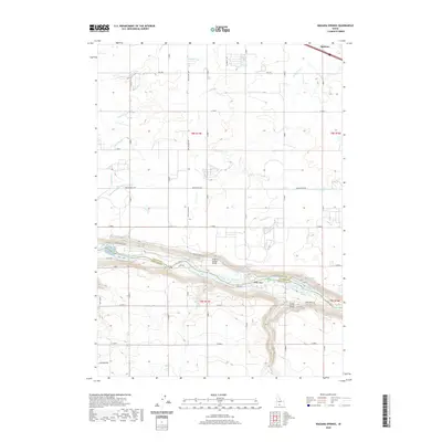 2020 Niagara Springs2020 Print · USGSThe Snake River canyon defines this part of the Magic Valley, showing the transition from high-desert agriculture to the deep river breaks. Researchers can trace the engineering of the landscape through the S Canal, Niagara Springs, and the steep Clear Lake Grade.
 - 2020 Map of Tunupa, 2020 Print
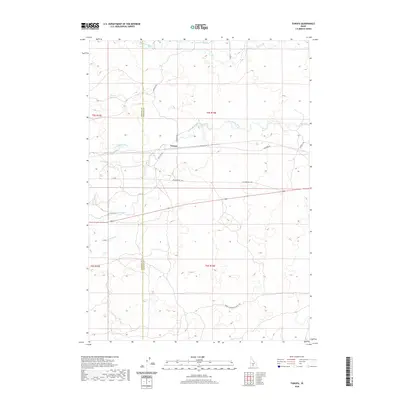 2020 Tunupa2020 Print · USGSNear the border of Gooding and Lincoln counties in 2020, this region showcases Idaho's intricate irrigation and hydroelectric network. Trace the water's path from the Big Wood River to Arkoosh Hydro and follow the historic Wendell-Shoshone Sheep Trl through the desert.
 - 2020 Map of Gooding SE, 2020 Print
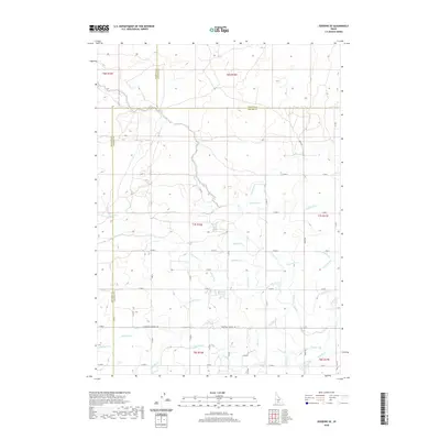 2020 Gooding SE2020 Print · USGSSouthern Idaho's agricultural heartland is documented here in the early twenty-first century as it straddles the Jerome and Gooding county lines. Genealogists and historians can trace the essential water routes of the U Canal and S Canal, alongside local thoroughfares like Three Mile Wendell Rd.
 - 2020 Map of Gooding, 2020 Print
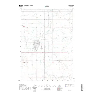 2020 Gooding2020 Print · USGSGooding and its surrounding high-desert farmlands are shown here in the contemporary era, framed by a complex network of historic irrigation canals. Researchers can locate the Gooding County Courthouse, trace local genealogy at Pioneer Cem, and follow the path of the S Gooding Main Canal.
 - 2020 Map of Fir Grove Mountain, 2020 Print
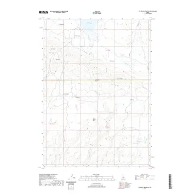 2020 Fir Grove Mountain2020 Print · USGSThe high-desert border of Gooding and Camas counties is captured here in the contemporary era. Trace high-altitude water sources and cattle-country landmarks like Mormon Reservoir, Rademacher Spring, and Fir Grove Mtn.
 - 2020 Map of Thorn Creek Reservoir, 2020 Print
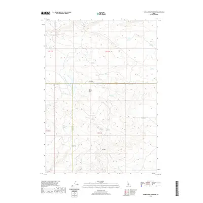 2020 Thorn Creek Reservoir2020 Print · USGSThe high Idaho desert near the junction of three counties is captured here in recent years, showing a landscape defined by water management and grazing. Researchers can trace the network of isolated springs and livestock catchments like Eusebio Spring, Twin Oaks Reservoir, and Crows Nest Reservoir.
 - 2020 Map of Hog Creek, 2020 Print
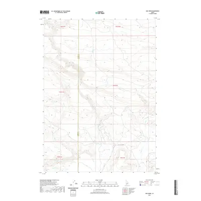 2020 Hog Creek2020 Print · USGSSouthern Idaho ranching and wilderness lands are captured here along the border of Elmore and Gooding counties. Trace the paths of historical travel along Old Clover Creek Rd and locate remote water sources like Dead Horse Spring and Warm Spring.
 - 2020 Map of Davis Mountain SW, 2020 Print
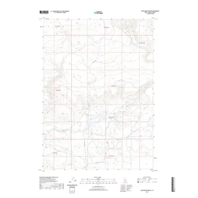 2020 Davis Mountain SW2020 Print · USGSGooding County's high desert landscape is documented here in the early twenty-first century, showing a region defined by its vital water sources. Trace the path of Clover Creek Road to find remote landmarks like White Arrow Hot Spring, Rattler Reservoir, and Honey Spring Canyon.
 - 2020 Map of McHan Reservoir, 2020 Print
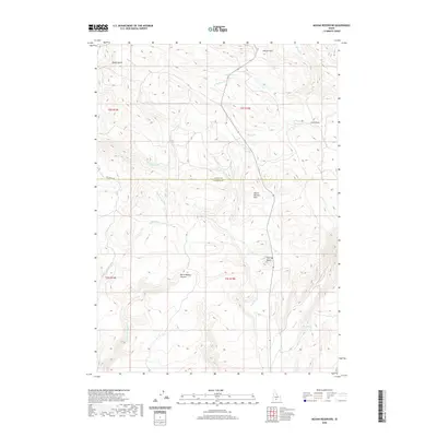 2020 McHan Reservoir2020 Print · USGSAcross the southern Idaho uplands in recent years, this map reveals a landscape shaped by high-desert drainages and distinct volcanic landmarks. Trace the early routes and water sources that define the county line, from Flat Top Butte to the isolated Hash Spring and Mud Spring.
 - 2020 Map of McKinney Butte, 2020 Print
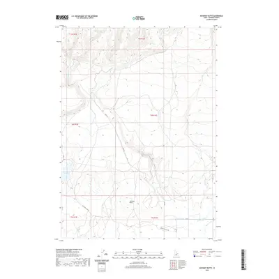 2020 McKinney Butte2020 Print · USGSGooding County's arid landscape and vital irrigation networks are mapped here in the modern era. Trace the path of the Chastain Canal and Robertson Ditch or locate landmarks like McKinney Butte and the remote Dead Horse Cave Rd.
 - 2020 Map of Dempsey Meadows, 2020 Print
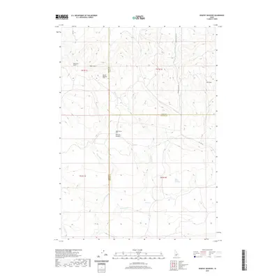 2020 Dempsey Meadows2020 Print · USGSElmore County's high-plateau landscape is captured here in the contemporary era, marking the convergence of three Idaho counties. Researchers can trace historic water sources and rugged landmarks like Indian Writing Water Hole, Dempsey Meadows, and Tub Spring.
 - 2020 Map of Davis Mountain, 2020 Print
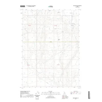 2020 Davis Mountain2020 Print · USGSCamas and Gooding Counties are captured in this modern survey of the Idaho high desert. Researchers can trace the drainages of Sourdough Cr and Cottonwood Cr or locate specific landmarks like Davis Mtn and Big Spring.
 - 2020 Map of Thorn Creek SW, 2020 Print
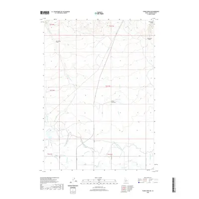 2020 Thorn Creek SW2020 Print · USGSGooding County's agricultural heart and its rugged northern canyons are captured in this modern survey. Genealogists and historians can trace the vital irrigation networks of the North Gooding Main Canal and landmarks like Turkey Head Butte or Rattlesnake Canyon.
 - 2020 Map of Thorn Creek SE, 2020 Print
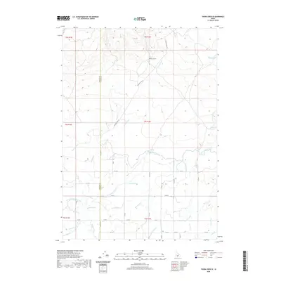 2020 Thorn Creek SE2020 Print · USGSThe agricultural plains of Gooding and Lincoln counties are defined by a complex irrigation web in this modern survey. Researchers can trace the path of the Milner Gooding Canal and the North Gooding Main Canal as they divert water toward Gooding Reservoir and the Big Wood River.
 - 2020 Map of Wendell, 2020 Print
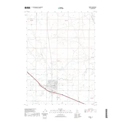 2020 Wendell2020 Print · USGSIn this modern survey of Gooding County, the town of Wendell is shown at the heart of an intensive Idaho irrigation network. Trace the paths of essential water infrastructure like the W Canal and Lateral S-2 alongside landmarks such as Wendell Cem.
 - 2020 Map of Jerome, 2020 Print
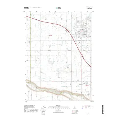 2020 Jerome2020 Print · USGSThe high desert landscape surrounding Jerome is defined by its sophisticated irrigation network as it appeared in 2020. Local researchers can trace the reach of the S Canal and identify landmarks like Sonnickson Butte and Zibby's Airport.
 - 2020 Map of Gooding Butte, 2020 Print
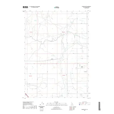 2020 Gooding Butte2020 Print · USGSSouthern Idaho agricultural lands come into focus in this modern survey of the Wood River confluence. Trace the intricate irrigation system through Fuller, Gooding Municipal Airport, and the branching S Gooding Main Canal.
 - 2020 Map of Bliss, 2020 Print
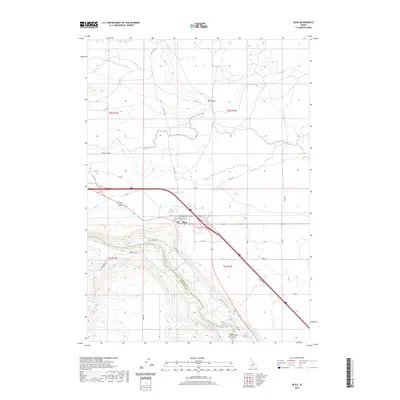 2020 Bliss2020 Print · USGSBliss and the surrounding high plateau are captured here in the contemporary era, showing the intersection of historic transit and modern irrigation. Trace the path of the Snake River as it drops into the Hagerman Valley alongside Old Hwy 30 and the King Hill Main Canal.
 - 2020 Map of Hagerman, 2020 Print
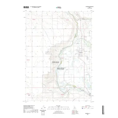 2020 Hagerman2020 Print · USGSThe bluffs of Gooding County meet the Snake River in this recent survey of a landscape defined by paleontological history and desert irrigation. Researchers can trace the Emigrant Trail and locate local crossings like Owsley Bridge and Gridley Bridge.
 - 2020 Map of Tuttle, 2020 Print
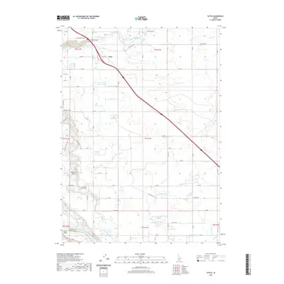 2020 Tuttle2020 Print · USGSThe high plateau of southern Idaho meets the deep river canyons in this 2020 record of the Tuttle area. Researchers can trace the agricultural irrigation network and find landmarks like Malad Gorge, Bridal Wreath Springs, and the crossing at Gridley Bridge.
 - 2020 Map of Thousand Springs, 2020 Print
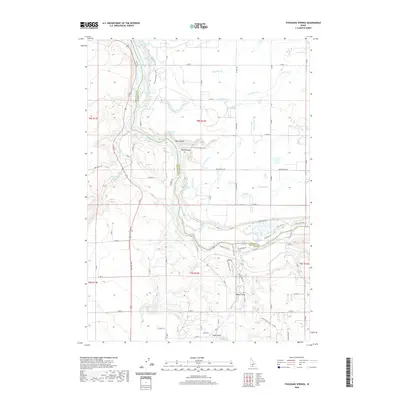 2020 Thousand Springs2020 Print · USGSThe Snake River canyon near the Gooding and Twin Falls county line comes alive in this contemporary study of Idaho's desert hydrology. Map enthusiasts and researchers can trace the intricate irrigation network of the S Canal and find landmarks like Thousand Springs and Box Canyon.
 - 2020 Map of Ticeska, 2020 Print
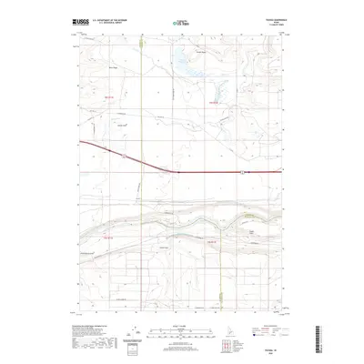 2020 Ticeska2020 Print · USGSThe Snake River corridor comes into sharp focus during the 2020s, showing the intricate irrigation systems and power infrastructure of the Idaho high desert. Researchers can trace the King Hill Main Canal near the settlement of Ticeska and locate landmarks like Pioneer Butte.
 - 2023 Map of Davis Mountain, 2023 Print
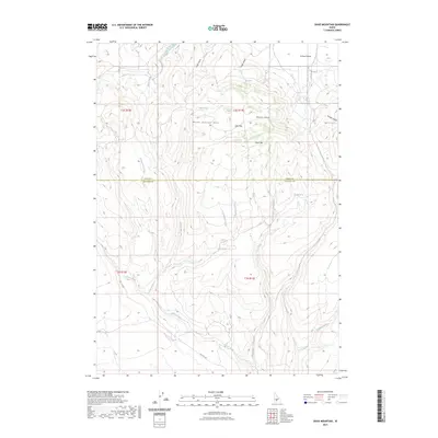 2023 Davis Mountain2023 Print · USGSGooding and Camas counties meet in the high desert of south-central Idaho in this contemporary survey of the Mount Bennett Hills. Trace the path of Hill City Rd or locate water sources like Big Spring and Clover Creek in this arid landscape.
 - 2023 Map of Thousand Springs, 2023 Print
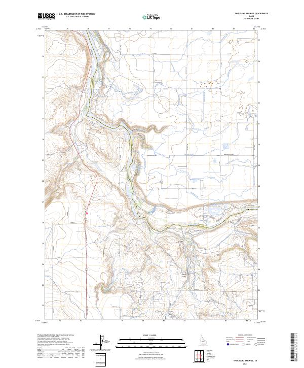 2023 Thousand Springs2023 Print · USGSThe Snake River canyon near Twin Falls comes to life in this recent survey of Idaho’s prolific aquifer outlets. Researchers can trace the path of irrigation laterals and locate natural landmarks like Devils Washbowl Falls, Box Canyon, and Kanaka Rapids.
 - 2023 Map of Ticeska, 2023 Print
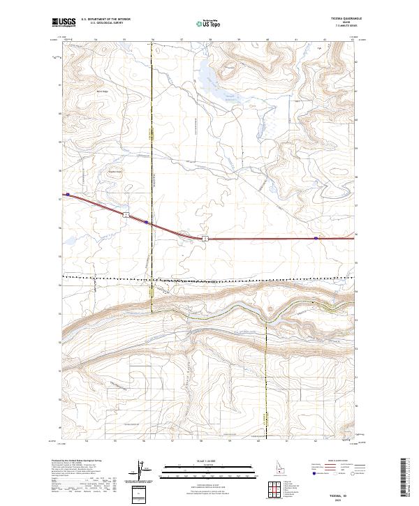 2023 Ticeska2023 Print · USGSElmore and Gooding counties meet along the high desert canyon of the Snake River in this recent survey. Local historians can trace the complex irrigation systems of the King Hill Main Canal and landmarks like Pioneer Butte.
Showing maps 1-25 of 45
Top cities of Gooding County
Frequently asked questions
- What are the different types of historical maps available for Gooding County?
- What is the oldest map of Gooding County?
- Where can I purchase historical maps of Gooding County for my home or office?
- Where can I download high-res historical maps of Gooding County?
- Are there historical topographic maps available for Gooding County?
- Is there historical aerial imagery available for Gooding County?
- Where are historical maps of Gooding County sourced from?