2010s Maps of Minidoka County, Idaho
Explore 69 historic maps of Minidoka County from the 2010s. These maps offer a rare glimpse into what life looked like during the 2010s — showing old roads, neighborhoods, homes, and landmarks that have changed or disappeared over time.
Whether you're researching your family's past, planning a metal detecting trip, or studying how Minidoka County's landscape evolved across the 2010s, these high-resolution maps are a powerful tool for exploring the history of this region.
- Focus on a specific era: All maps on this page are from the 2010s, giving you a focused view of this time period.
- See what’s changed: Compare century-old streets, trails, and buildings to today's modern landscape using overlays and satellite layers.
- Research with precision: Use these maps for genealogy, historical research, land use analysis, or educational projects.
- View, download, or print: Maps are fully viewable online in high resolution, and can be downloaded or printed for your own records.
Start exploring Minidoka County's history through authentic maps from the 2010s. This is your window into the past.
Minidoka County, ID maps
(69)- 2010 Map of Burley, 2010 Print
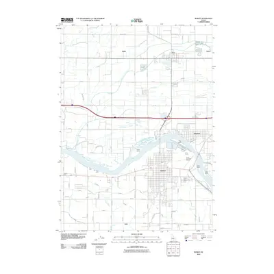 2010 Burley2010 Print · USGSThe Snake River valley in the early 2010s shows a sophisticated landscape of irrigation and town-building centered on the city of Burley. Researchers can trace old routes and local landmarks like Starrhs Ferry, the Pleasant View Cemetery, and the smaller settlement of Paul.
 - 2010 Map of Lake Walcott West, 2010 Print
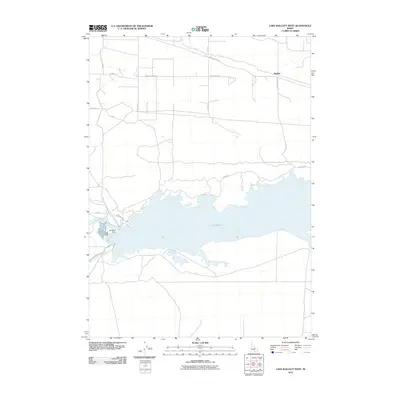 2010 Lake Walcott West2010 Print · USGSThe Snake River Plain is defined by massive irrigation works in the early twenty-first century. Researchers can trace the vital water systems of the Minidoka Dam, the Main North Side Canal, and the sprawling reach of Lake Walcott across this landscape.
 - 2010 Map of Kimama, 2010 Print
 2010 Kimama2010 Print · USGSThe high desert settlement of Kimama is captured here during the early twenty-first century as a critical junction for regional transport. Genealogists and local historians can trace the irrigation and road networks that defined this rural community, from the Schrike Reservoir to the F Main Drain.
 - 2010 Map of Bottleneck Lake, 2010 Print
 2010 Bottleneck Lake2010 Print · USGSMinidoka County's high desert landscape is documented here during the early 2000s, showcasing a network of remote water catchments. Genealogists and researchers can trace the locations of Pronghorn Reservoir, Bottleneck Lake, and Three Forks Lake.
 - 2010 Map of Bear Park West, 2010 Print
 2010 Bear Park West2010 Print · USGSBlaine County in the early twenty-first century reveals a landscape shaped by volcanic history and the open Snake River Plain. Trace the physical relief and terrain features of the Idaho high desert around Coyote Butte.
 - 2010 Map of Burley SW, 2010 Print
 2010 Burley SW2010 Print · USGSThe Snake River Plain in Southern Idaho comes alive in this study of an intensive agricultural landscape near the start of the decade. Genealogists and local historians can trace irrigation networks and small settlements like Hobson, Schodde, and Lakeview Farm.
 - 2010 Map of Burley NW, 2010 Print
 2010 Burley NW2010 Print · USGSJerome County's agricultural heartland is documented here in the early twenty-first century as a complex network of irrigation and industry. Genealogists and local historians can trace family land via the road grid and vital water features like E E Main Drain and N Main Drain.
 - 2010 Map of Burley NE, 2010 Print
 2010 Burley NE2010 Print · USGSMinidoka County farmland is revealed in high detail during the early 2000s, showing the complex irrigation system that sustains the region. Researchers can trace local landmarks like Paul Cemetery and water engineering features such as H Main Drain and the Klosterman Landing Area.
 - 2010 Map of Brigham Point, 2010 Print
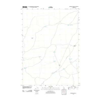 2010 Brigham Point2010 Print · USGSBlaine County's high-desert terrain is documented here in the decade before 2010, showing the essential water and road networks of the Idaho interior. Researchers can trace the path of the Minidoka to Arco Rd past landmarks like Cream Can Junction and Whiskey Butte.
 - 2010 Map of Laidlaw Lake, 2010 Print
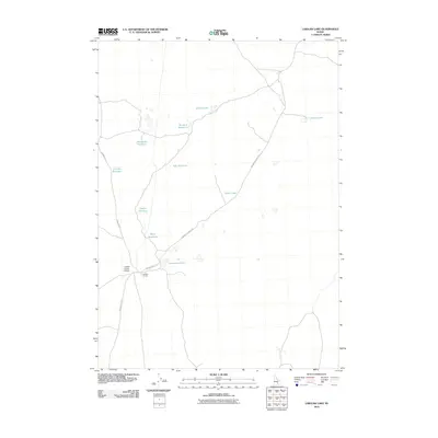 2010 Laidlaw Lake2010 Print · USGSMinidoka County ranching and water management are front and center in this 2010 study of the high desert. Researchers can trace remote infrastructure like the Laidlaw Corrals Airport and a series of livestock water sources including Bluebird Reservoir and Steamboat Lake.
 - 2010 Map of Bear Park SW, 2010 Print
 2010 Bear Park SW2010 Print · USGSCovers Minidoka County, including Blaine County, United States, and other nearby areas
 - 2010 Map of Kimama Butte, 2010 Print
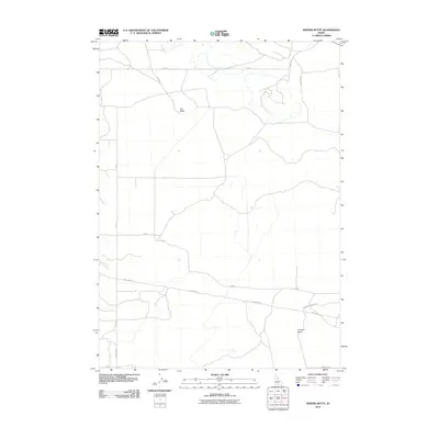 2010 Kimama Butte2010 Print · USGSJerome County at the start of the decade shows a landscape of volcanic features and utility corridors. Researchers can trace rural routes like Pole Line Rd and Kimama Lookout Rd as they navigate around Kimama Butte and Sid Butte.
 - 2010 Map of Community Lake, 2010 Print
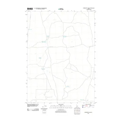 2010 Community Lake2010 Print · USGSMinidoka County at the start of the decade reveals a specialized landscape of high-desert water management and volcanic features. Genealogists and outdoor historians can trace old routes like Bear Trap Cave Rd or locate Community Lake and North Farms Lakes.
 - 2010 Map of Bear Den Butte, 2010 Print
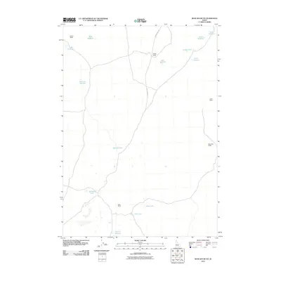 2010 Bear Den Butte2010 Print · USGSBlaine County's high-desert ranching landscape is captured here in the early twenty-first century, showing a remote terrain defined by volcanic buttes. Researchers can trace the essential water network of the area via Monument Reservoir, Williams Lake, and Bear Den Butte.
 - 2010 Map of Larkspur Park, 2010 Print
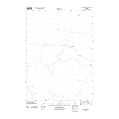 2010 Larkspur Park2010 Print · USGSThis Idaho rangeland in Minidoka County was documented during the first decade of the new millennium. Researchers can locate isolated landmarks like the Brigham Point Trapper Cabin and follow Bear Trap Cave Rd past School Section Lake.
 - 2010 Map of Acequia, 2010 Print
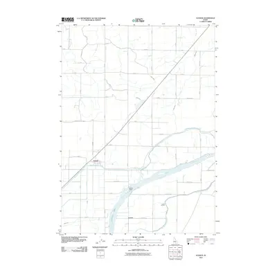 2010 Acequia2010 Print · USGSMinidoka County agriculture is defined by the Snake River and its intricate canal networks during the early twenty-first century. Researchers can trace the layout of the Acequia settlement, identify family plots at Jackson Cemetery, and locate the Jackson Bridge.
 - 2010 Map of Laidlaw Butte, 2010 Print
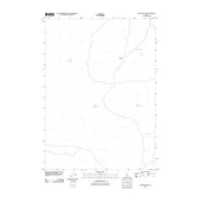 2010 Laidlaw Butte2010 Print · USGSBlaine County's high desert landscape is documented here in the early twenty-first century, showing a remote region shaped by volcanic geology and water scarcity. Researchers can trace land use through named water features like Carpenter Reservoir and Hillside Lake or the landmark Laidlaw Butte.
 - 2010 Map of Minidoka, 2010 Print
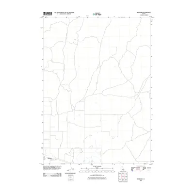 2010 Minidoka2010 Print · USGSThe settlement of Minidoka and its surrounding desert corridors appear in clear detail during the early twenty-first century. Genealogists and local historians can trace specific rural routes like the Minidoka To Arco Rd, Yale Rd, and 1000 North Rd.
 - 2010 Map of Max, 2010 Print
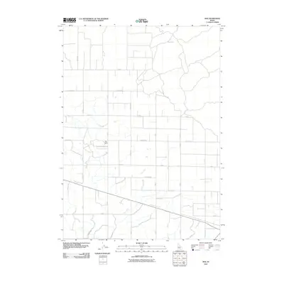 2010 Max2010 Print · USGSMinidoka County is shown in the first decade of the new millennium as a masterfully engineered agricultural landscape. Genealogists and local historians can trace the footprint of the Idaho Youth Ranch and the vital irrigation network of the C Main Drain and B Main Drain.
 - 2010 Map of Norland, 2010 Print
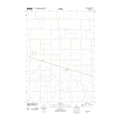 2010 Norland2010 Print · USGSMinidoka County agriculture is at its most organized in this 2010 survey of the Idaho high desert. Researchers can trace the precise grid of section roads and irrigation infrastructure surrounding Adelaide, Norland, and the essential F Main Drain.
 - 2010 Map of Rupert NW, 2010 Print
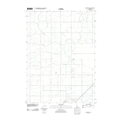 2010 Rupert NW2010 Print · USGSRupert and its northern agricultural hinterlands are shown here in the first decade of the new millennium as the regional irrigation network matured. Researchers can trace local landmarks like the Rupert Cemetery, the waters of Camp Holly Lake, and the vital B Canal.
 - 2010 Map of Rupert, 2010 Print
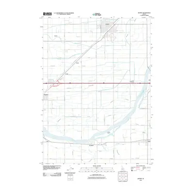 2010 Rupert2010 Print · USGSThe Snake River Plain in the early twenty-first century is defined by its massive irrigation infrastructure and the growing hub of Rupert. Researchers can trace the lineage of rural communities like Springdale, Declo, and Heyburn alongside features like Declo Cemetery.
 - 2010 Map of Rupert SE, 2010 Print
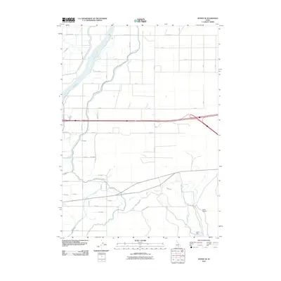 2010 Rupert SE2010 Print · USGSThe agricultural heart of Cassia County is laid bare in this study of the Snake River plain during the early twenty-first century. Researchers can trace the complex irrigation system through the Main South Side Canal and identify local landmarks like Guinn Dam and Guinn Canyon.
 - 2013 Map of Bear Park SW, 2013 Print
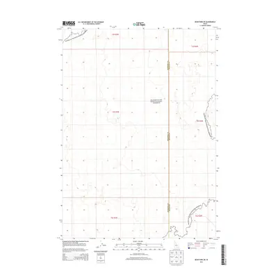 2013 Bear Park SW2013 Print · USGSThe volcanic landscape of southern Idaho is captured here in the early twenty-first century, spanning the high desert borderlands. Researchers can trace the boundaries of Craters of the Moon National Preserve and the county line between Minidoka Co and Blaine Co.
 - 2013 Map of Laidlaw Lake, 2013 Print
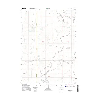 2013 Laidlaw Lake2013 Print · USGSMinidoka County ranching and volcanic borders are captured here in the early twenty-first century. Researchers can trace the infrastructure of the high desert from Laidlaw Corrals Airport to seasonal waters like Laidlaw Lake and Steamboat Lake.
Showing maps 1-25 of 69
Top cities of Minidoka County
- Rupert historical maps
- Heyburn historical maps
- Paul historical maps
- Acequia historical maps
- Minidoka historical maps
Frequently asked questions
- What are the different types of historical maps available for Minidoka County?
- What is the oldest map of Minidoka County?
- Where can I purchase historical maps of Minidoka County for my home or office?
- Where can I download high-res historical maps of Minidoka County?
- Are there historical topographic maps available for Minidoka County?
- Is there historical aerial imagery available for Minidoka County?
- Where are historical maps of Minidoka County sourced from?